
Quick report
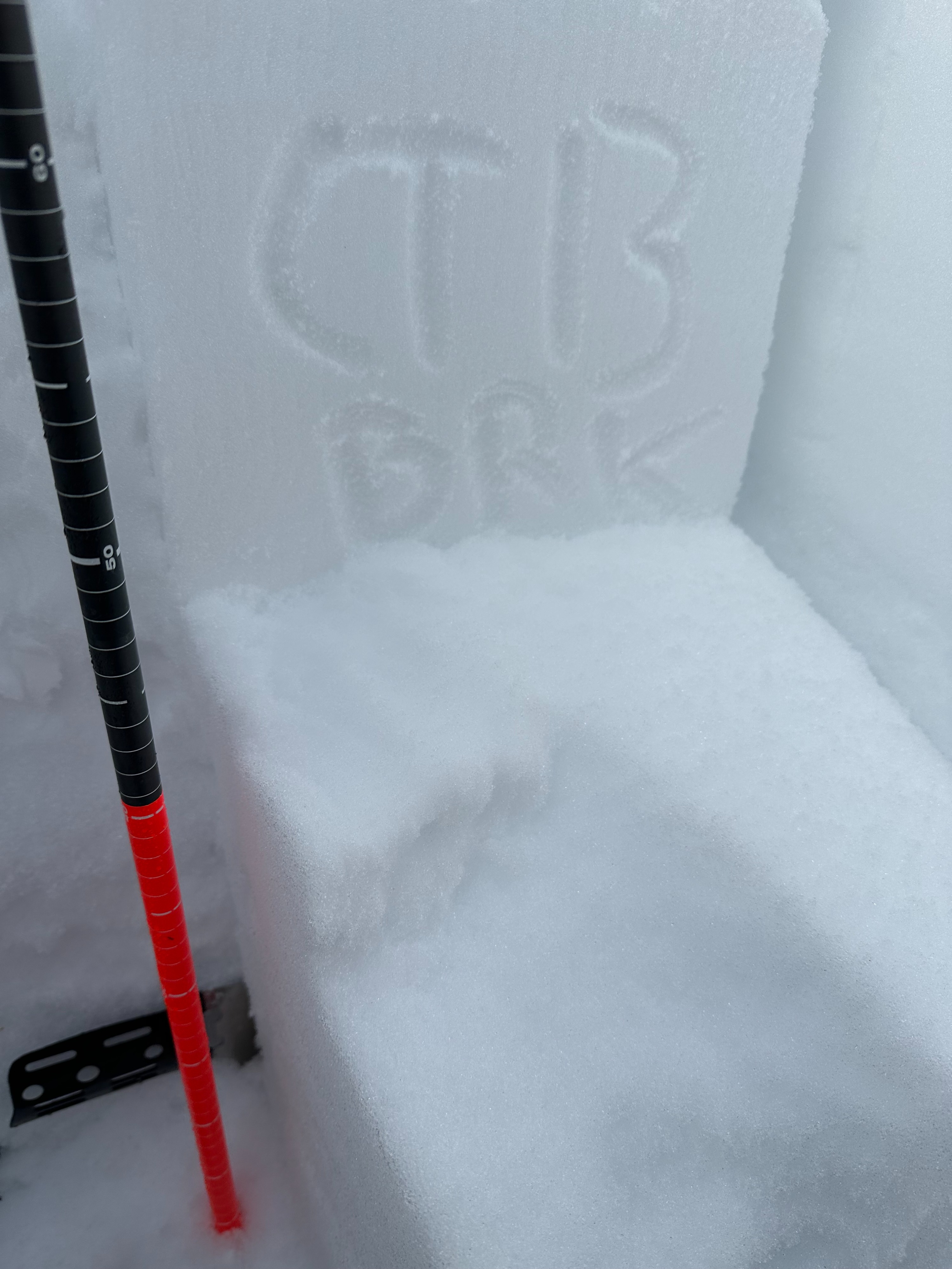
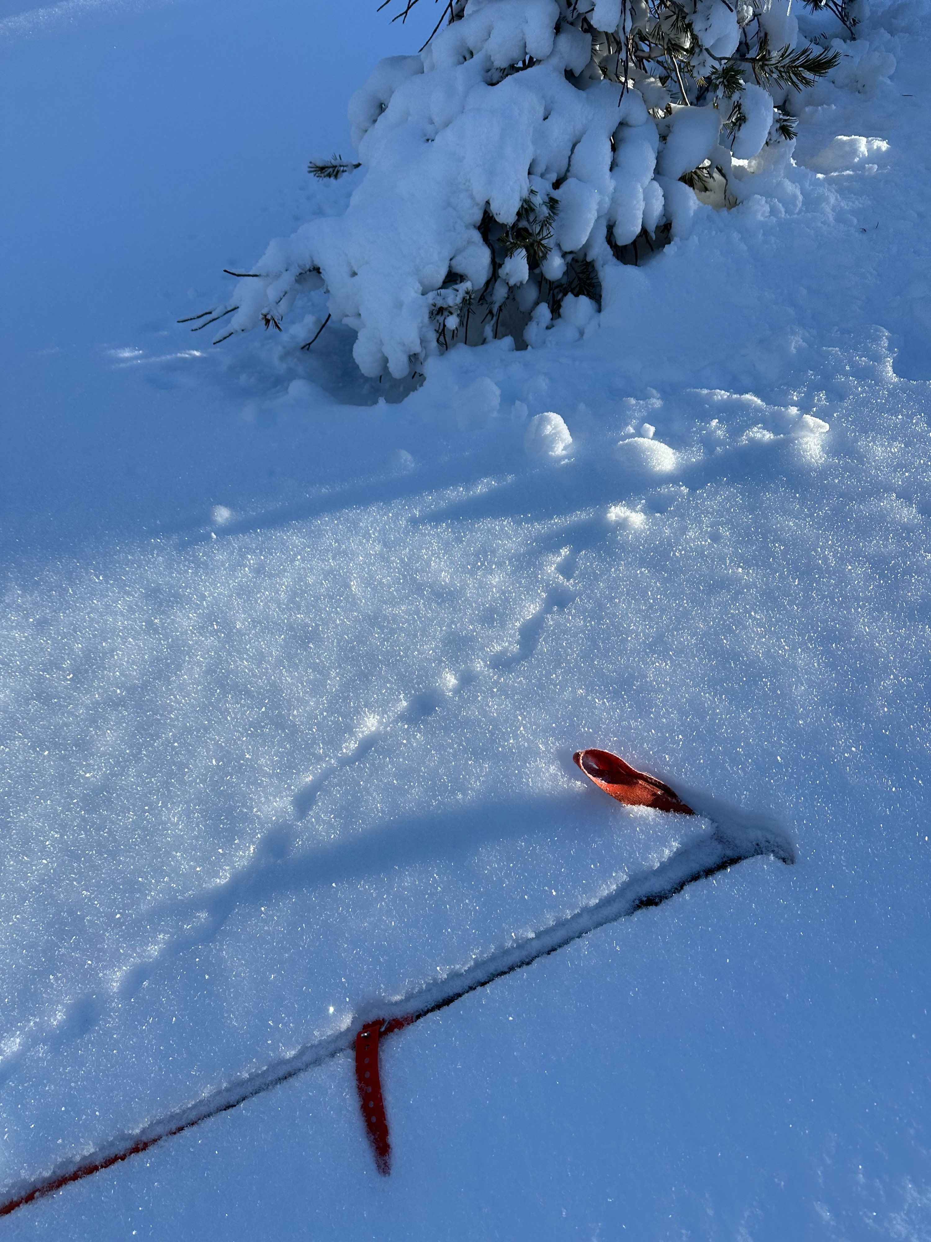
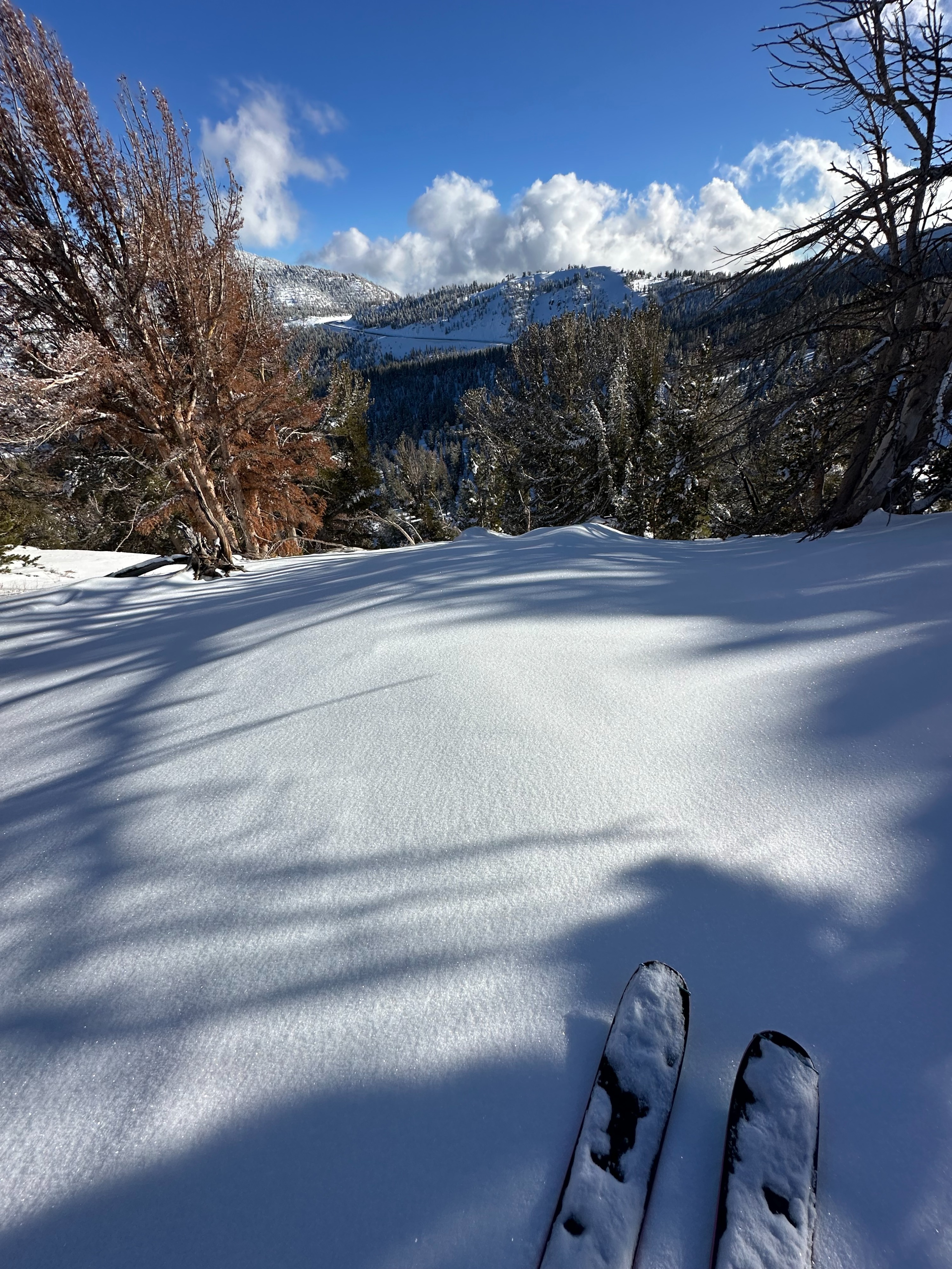
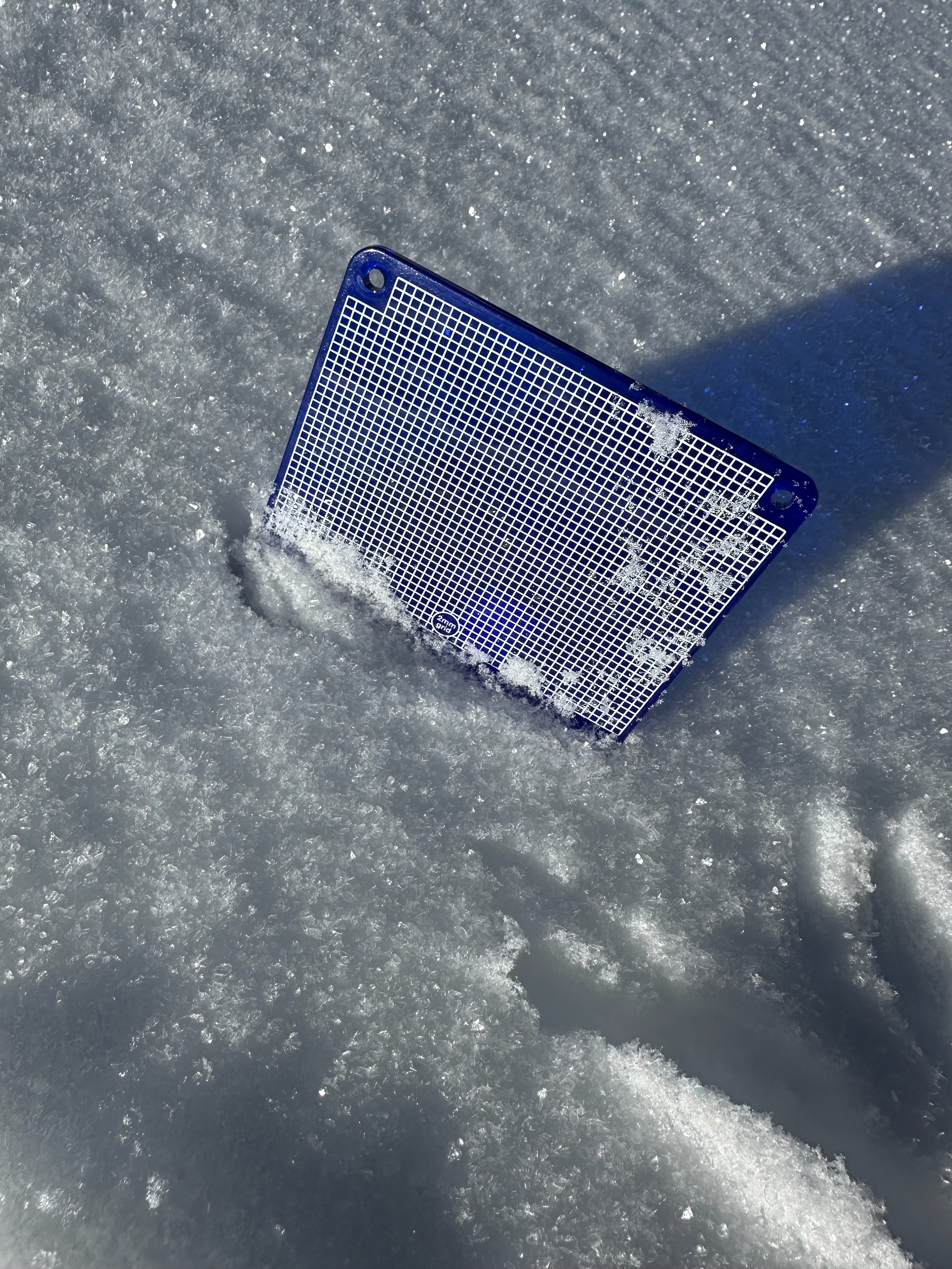
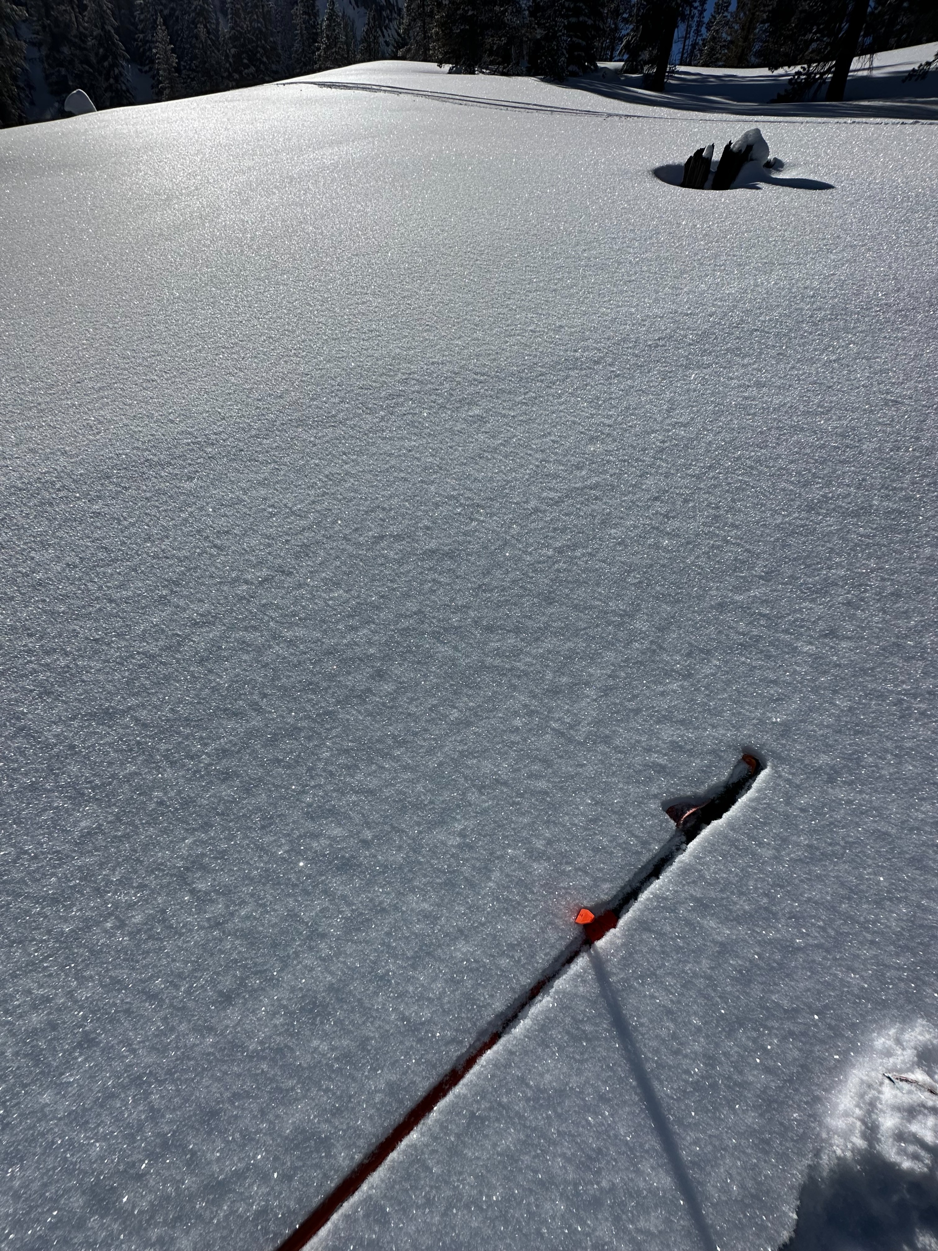
Our AIARE 1 class toured around the fireplug area today and gathered some observations in two snowpits and during our tour. The first pit we dug was on an E aspect near treeline at 8400' on a 16 degree slope. HS at our pit location was right at 100 cm. We performed a CT and ECT at this location. CTM SC Down 20 on what looked to be layer of near crust FC - ECTN 12. CTM BRK down 55 cm on the Jan 2 PWL - ECTN 22 now rounding FC. There was a substantial pencil hard crust bridging the early season facets at this location. We toured towards the north side of Fire plug and dug a second pit on a NE aspect at 8600 feet. HS at this location was 150 CM with the Jan 2 PWL being the only layer of concern 100 CM below snow surface. Our CT scored a CTN on the Jan 2 layer so we opted to conducted a Deep tap test as well that scored a DTM PC. Although our pit tests showed signs that the JAN 2 PWL is on its way to healing - I had a very concerning hand sheer at 9000' N aspect as we continued up the skin track. I was isolating a column for my hand sheer- and it failed as I cut the back of the column- The snowpack here was thinner maybe 80-90 CM and the layer of failure was on very large faceted crystals with rocks below. As much as I'd like to think we are almost out of the woods with our persistent slab problem- this hand sheer result gave me pause. This result might be an outlier but there is certainly portions of our snowpack that is still resting on some VERY weak snow. Another common theme throughout the duration of our tour was the wide spread surface hoar. We observed it on NE, N, NW, W aspects both in and out of the treeline and even on an exposed ridgeline with sotherly tilt at 330 in the afternoon. Unfortunately with the potential snow in the forecast for tomorrow- this layer has potential to stay with us for a while.
Weather
- Cloud Cover
- few
- Wind Loading
- previous
- Recent Snowfall
- 10-20
- Snow Avail For Transport
- moderate amounts
The weather in the field today did not align with the weather forecast- Light winds, Scattered clouds and warmer temps than forecast. Solar aspects warmed quickly in the morning- this warm snow didn not bond well with the sun crust under the new storm snow. Many pinwheels on solar aspects.