
Weather
- Cloud Cover
- broken
- Recent Snowfall
- 25 to 45
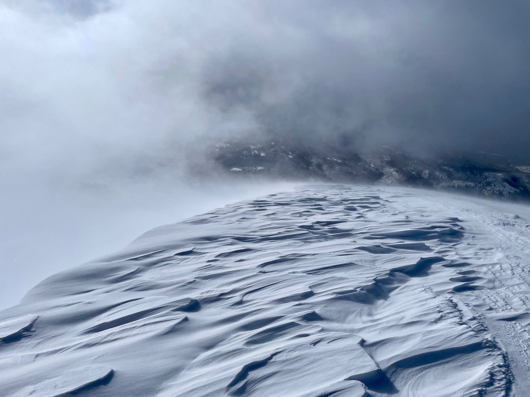
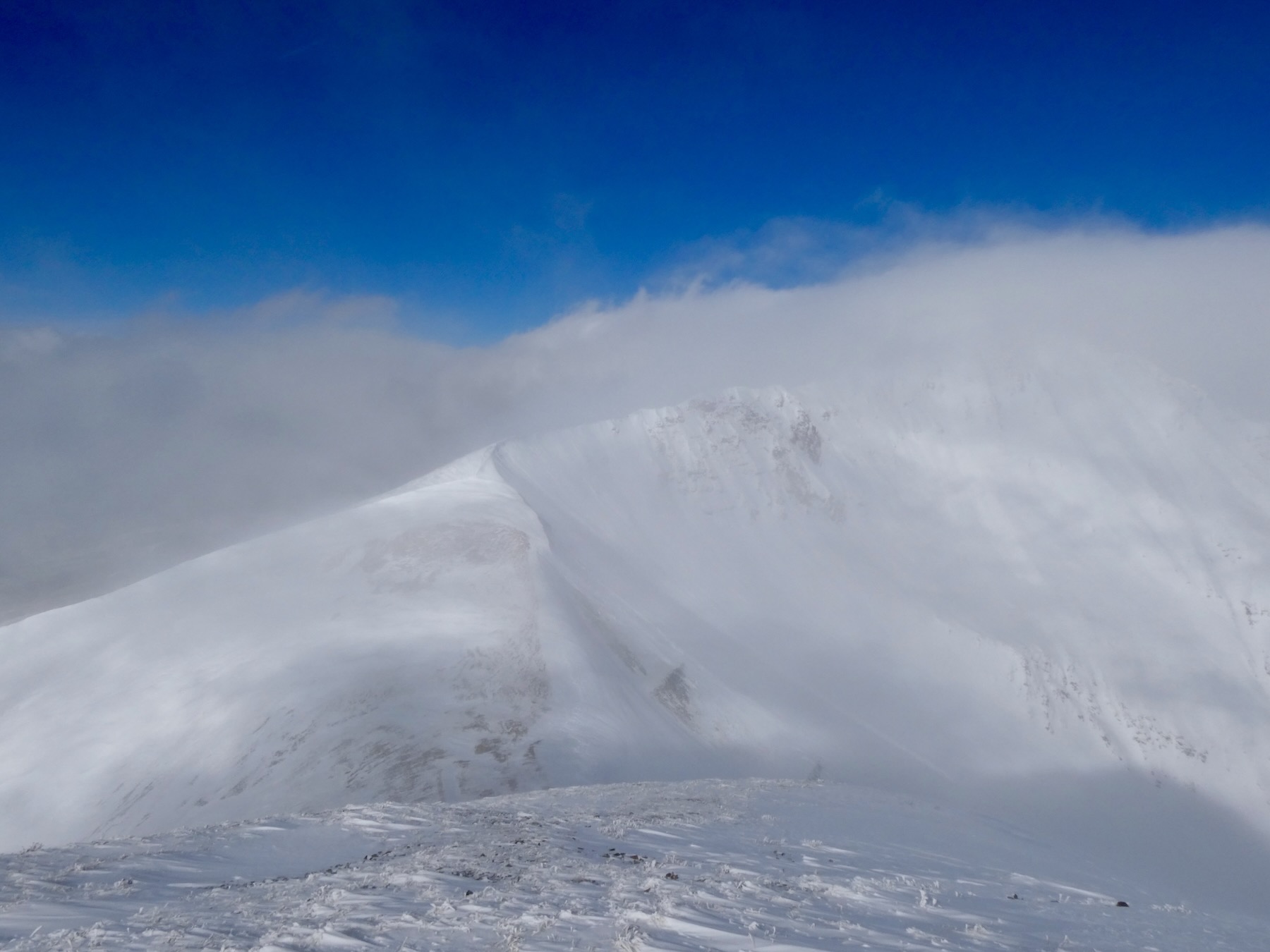
A Mostly cloudy sky became partly cloudy and then back to mostly cloudy in the afternoon. Light to moderate NW winds continue to transport a small amount of snow through the day. Most of the snow was previously transported. Cold temps.
Snowpack
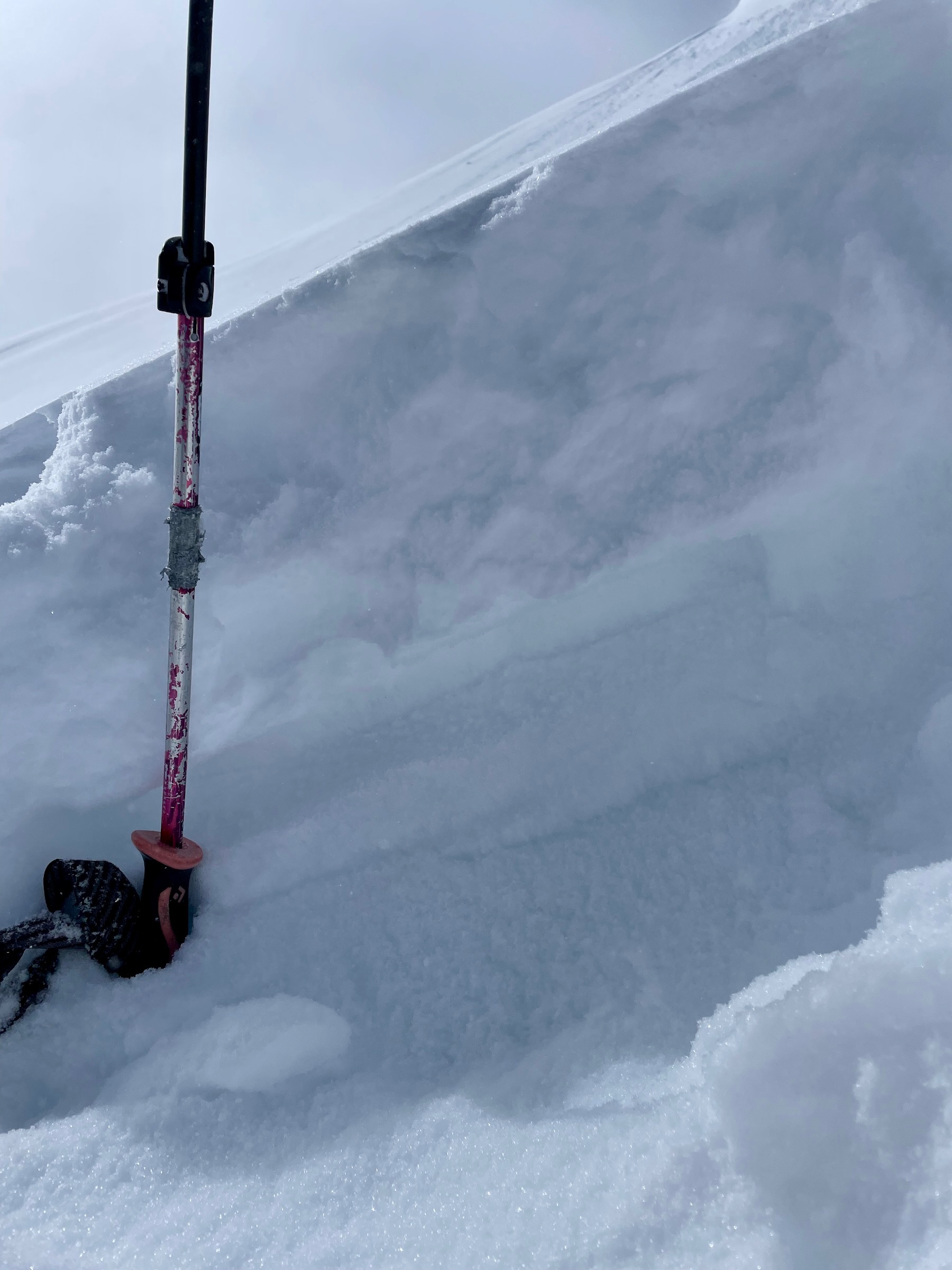
HST was about 25 to 30cm at the Irwin Y, and 30 to 60cm in the Ruby Range near Irwin. The variability was crazy, and I'd give a 30cm average. The blower conditions in the morning had settled slightly by the afternoon. A wind slab avalanche problem appeared to be isolated, while sluffs, and falling cornice chunks that then entrained the loose snow, were the main avalanche activity.
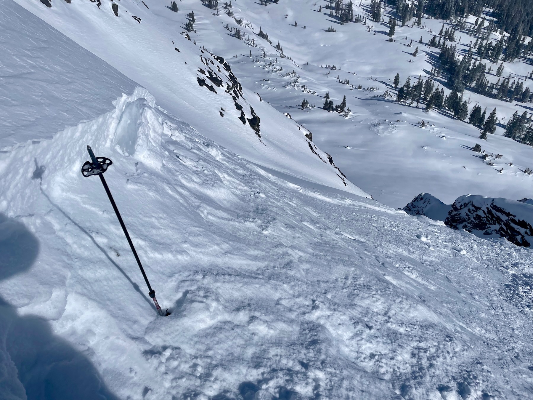
East at 11,500. 60cm HST, not wind-loaded, sitting on notable facets. The slab was very soft but was settling and had some cohesion. Didn't look any further and moved to safer terrain.
Southeast 12,600ft, 33-degree slope. 30cm of recent storm snow sitting on a very thin crust over 1.5mm facets. HS here was ~110cm.
Avalanche
- Size
- D1
- Aspect
- E
- Trigger
- AS
- Elevation
- 11600 ft
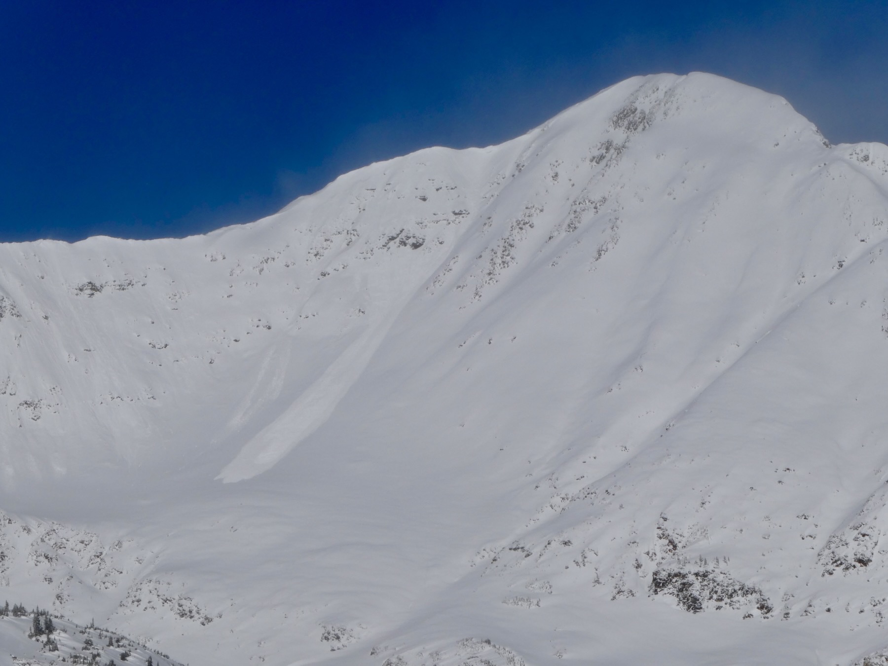
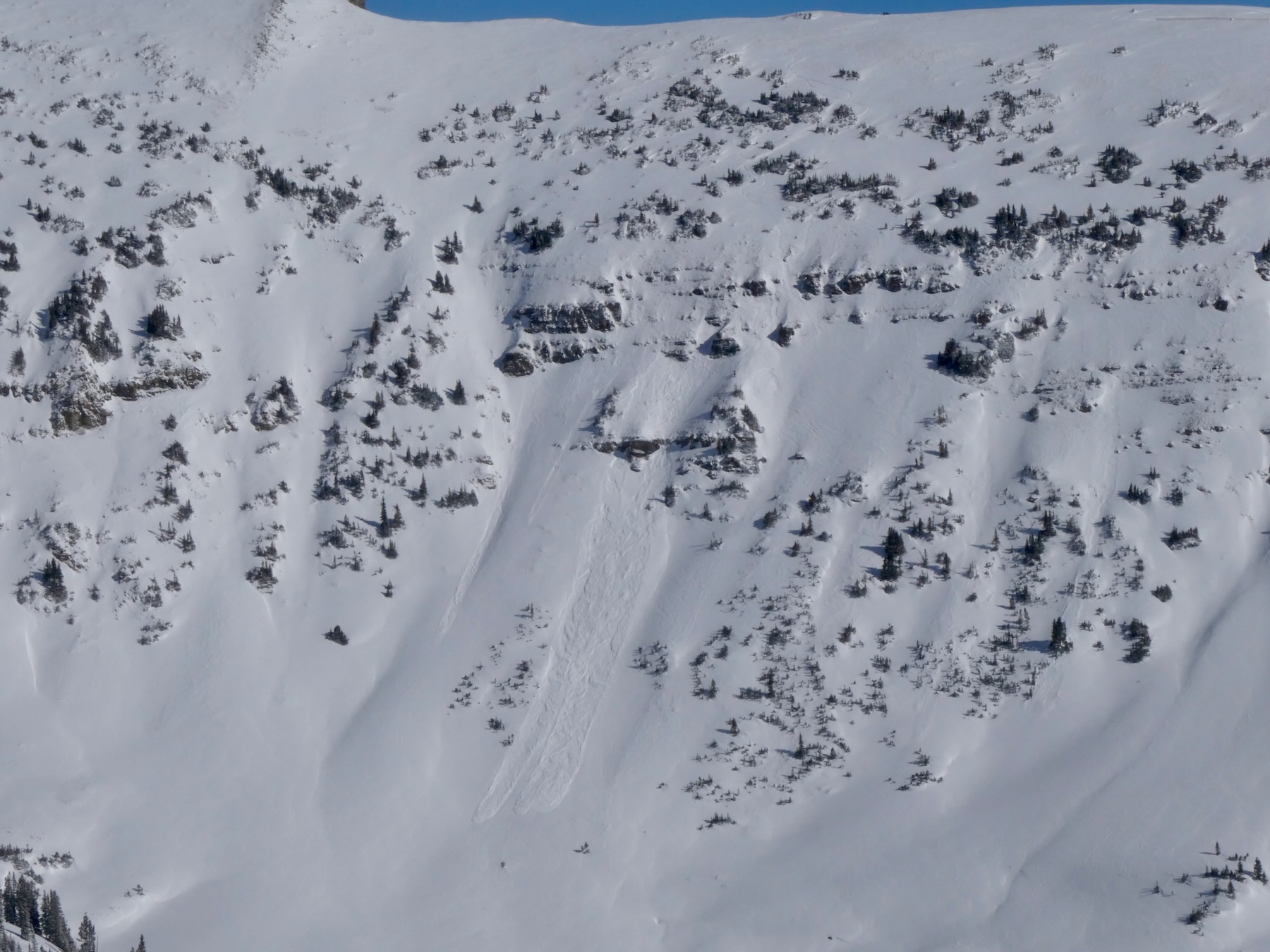
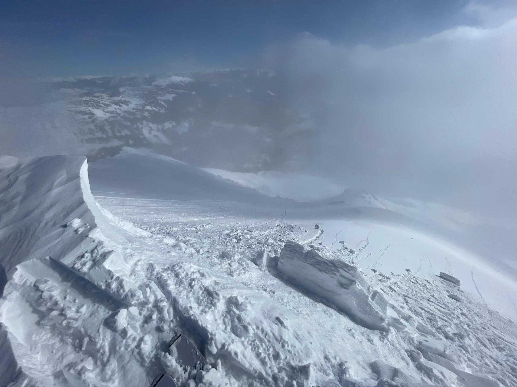
Many small natural avalanches occurred in the last 12 hours. These avalanches were mostly sluffs, or cornices chucks falling and entraining snow. The largest avalanches were D1.5. Some of those avalanches ran while we were out today. Skier triggered a small wind slab and small sluffs.