
Quick report
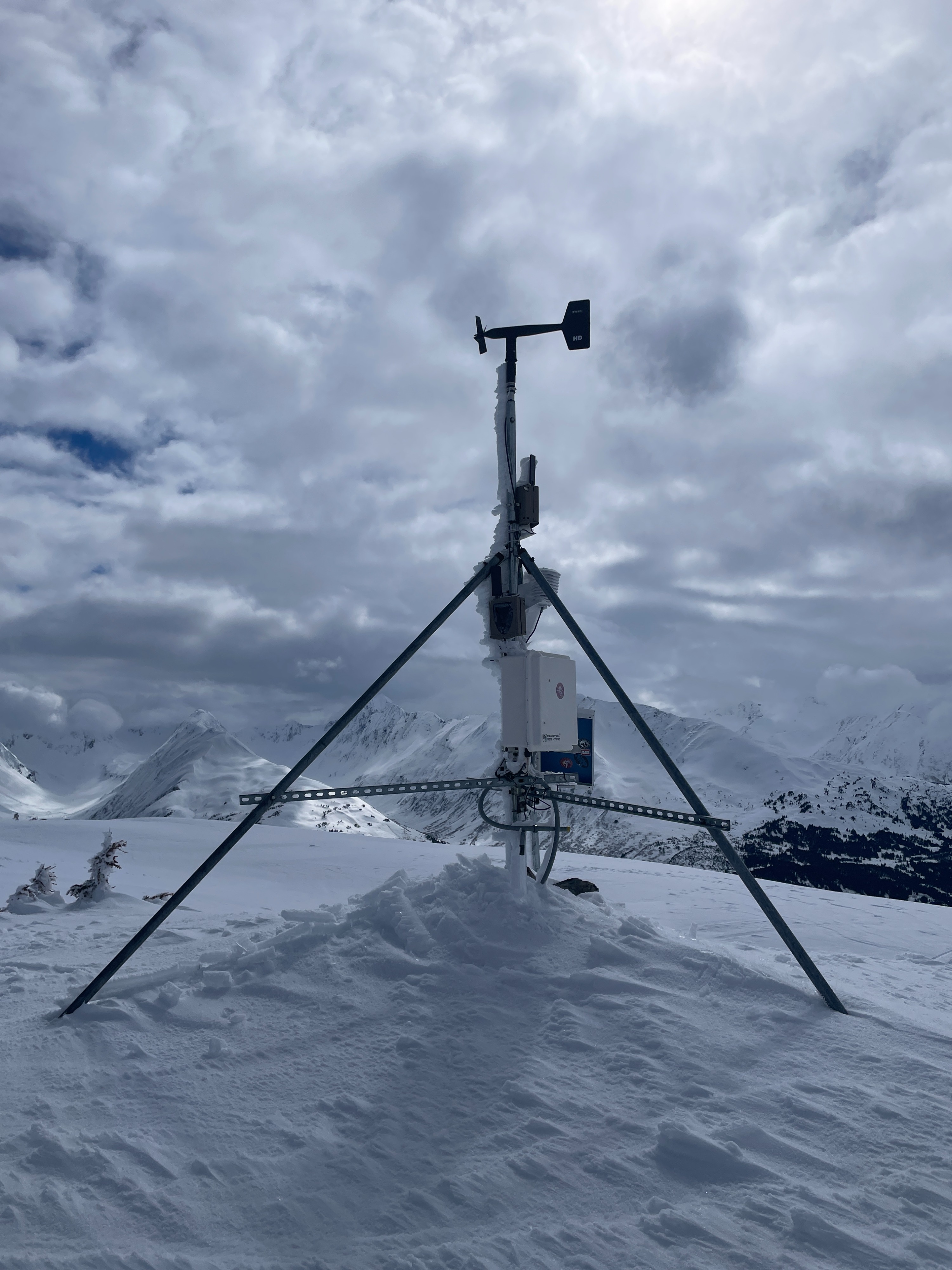
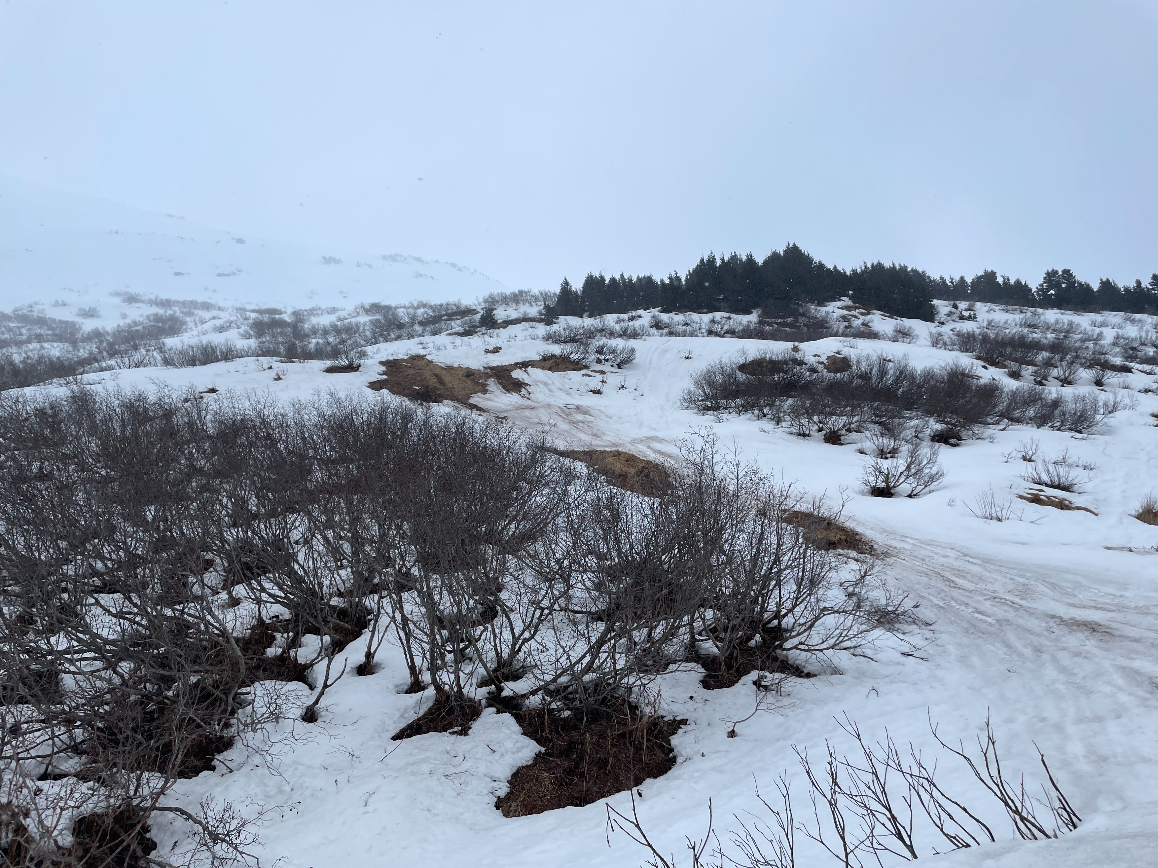
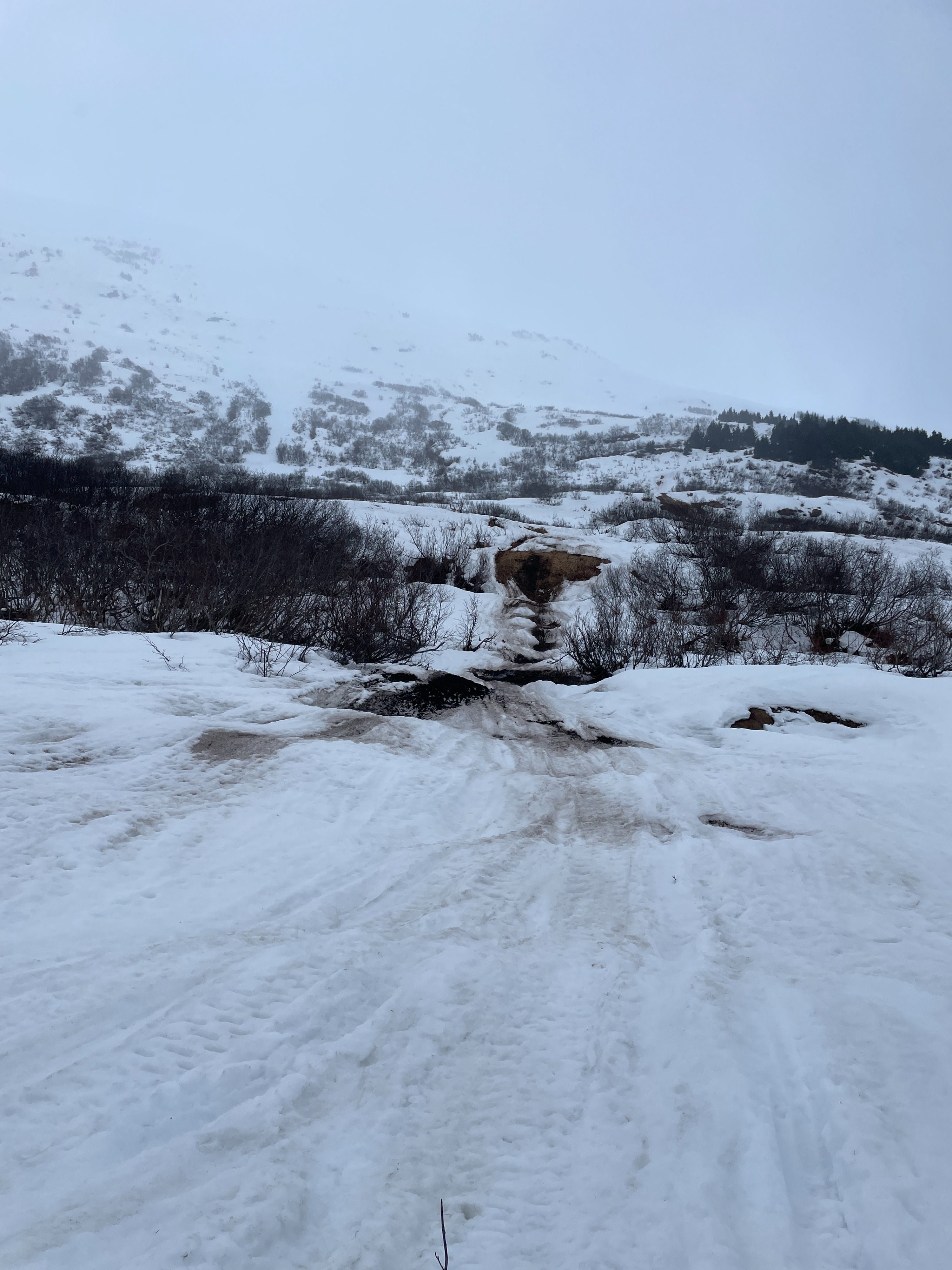
We rode north on Seattle Ridge and skied a few runs in the weather station bowl and Jr's. Above 2000' there was about 6-8" heavy new snow on a thin but supportable crust. It had rained up to around 1800' or so.
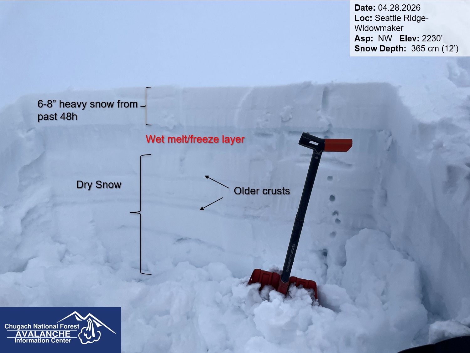
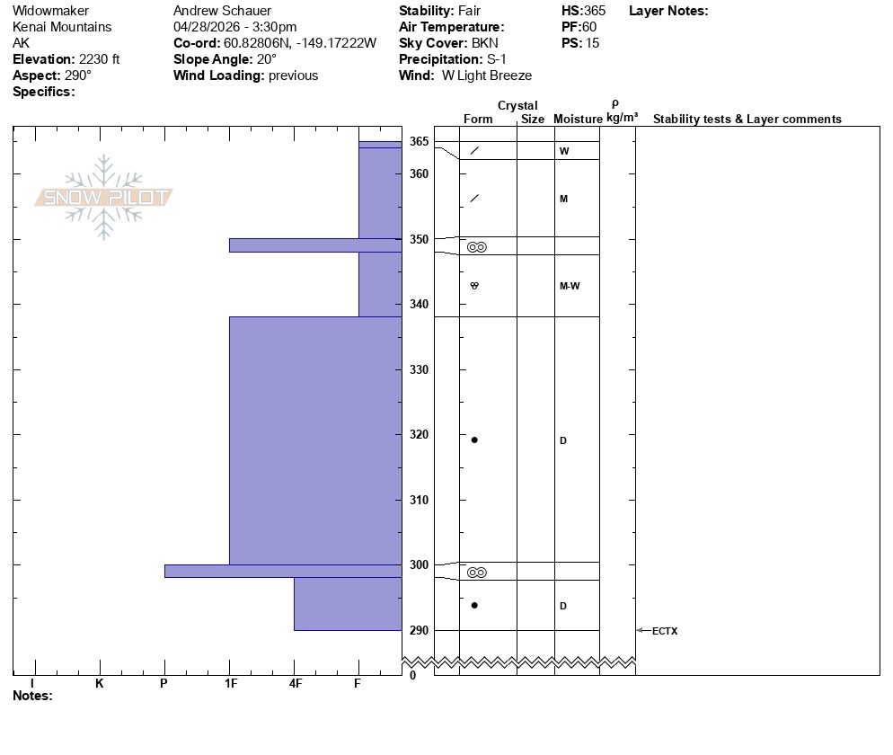
There is still a lot of dry snow in the snowpack above 2000' on anything that has a slightly northern tilt to it. We dug a pit on a WNW slope at 2230' and found wet snow in the upper foot or so of the snowpack, but a mostly midwinter snowpack below that. With this most recent snow on the surface, and a wet springtime snowpack at and below treeline, it seems likely we will see wet snow avalanches when the sun pops out tomorrow.
Weather
- Air Temp
- warm
- Cloud Cover
- broken
- Wind Loading
- previous
- Rain Elevation
- 1800'
- Recent Snowfall
- 6-8"
- Snow Avail For Transport
- moderate amounts
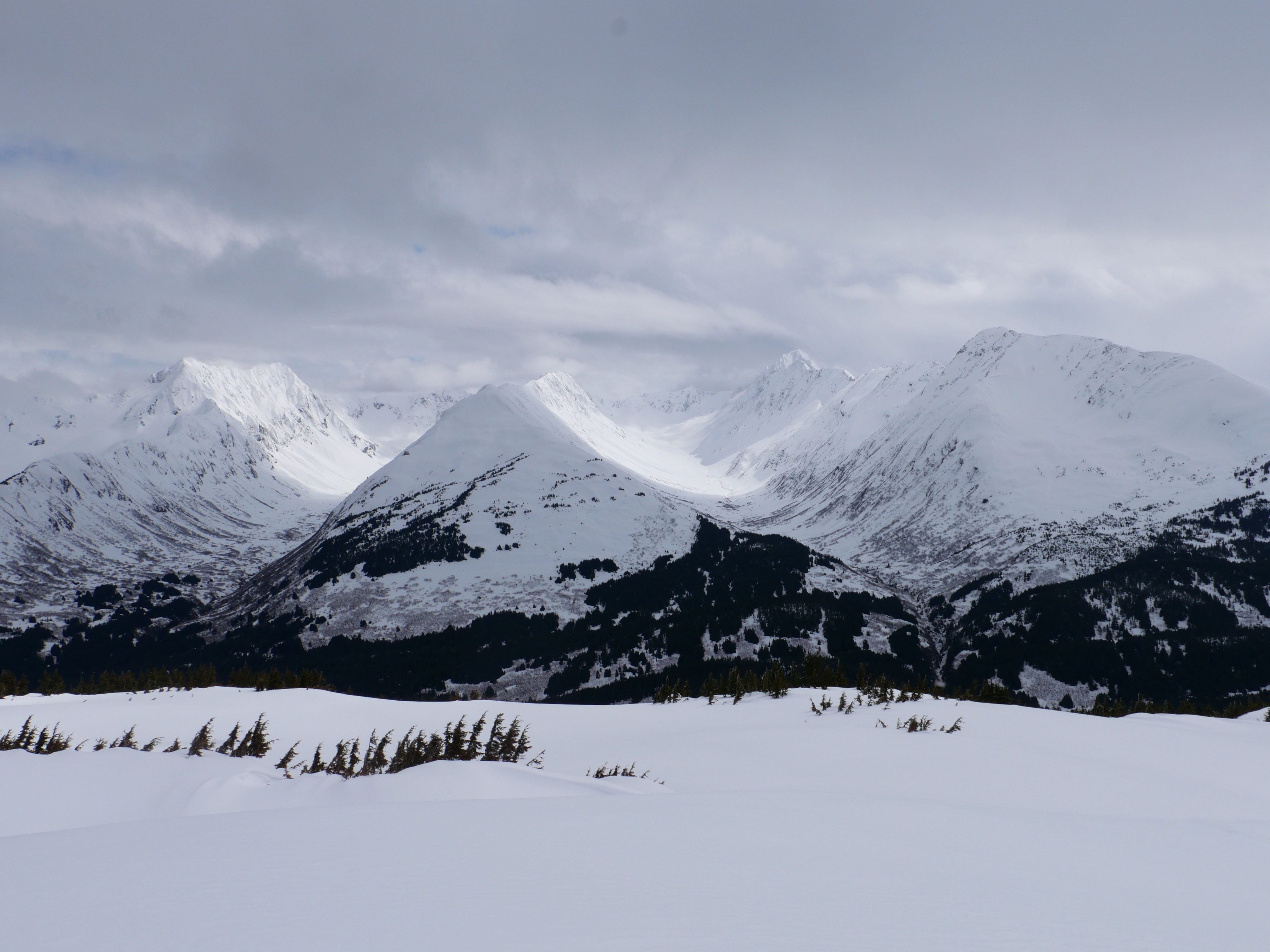
Some sun poking through the clouds for a while in the early afternoon. Squalls rolled in around 3 pm. Sunny towards Skookum, socked in to the south and west of Seattle Ridge.
Snowpack
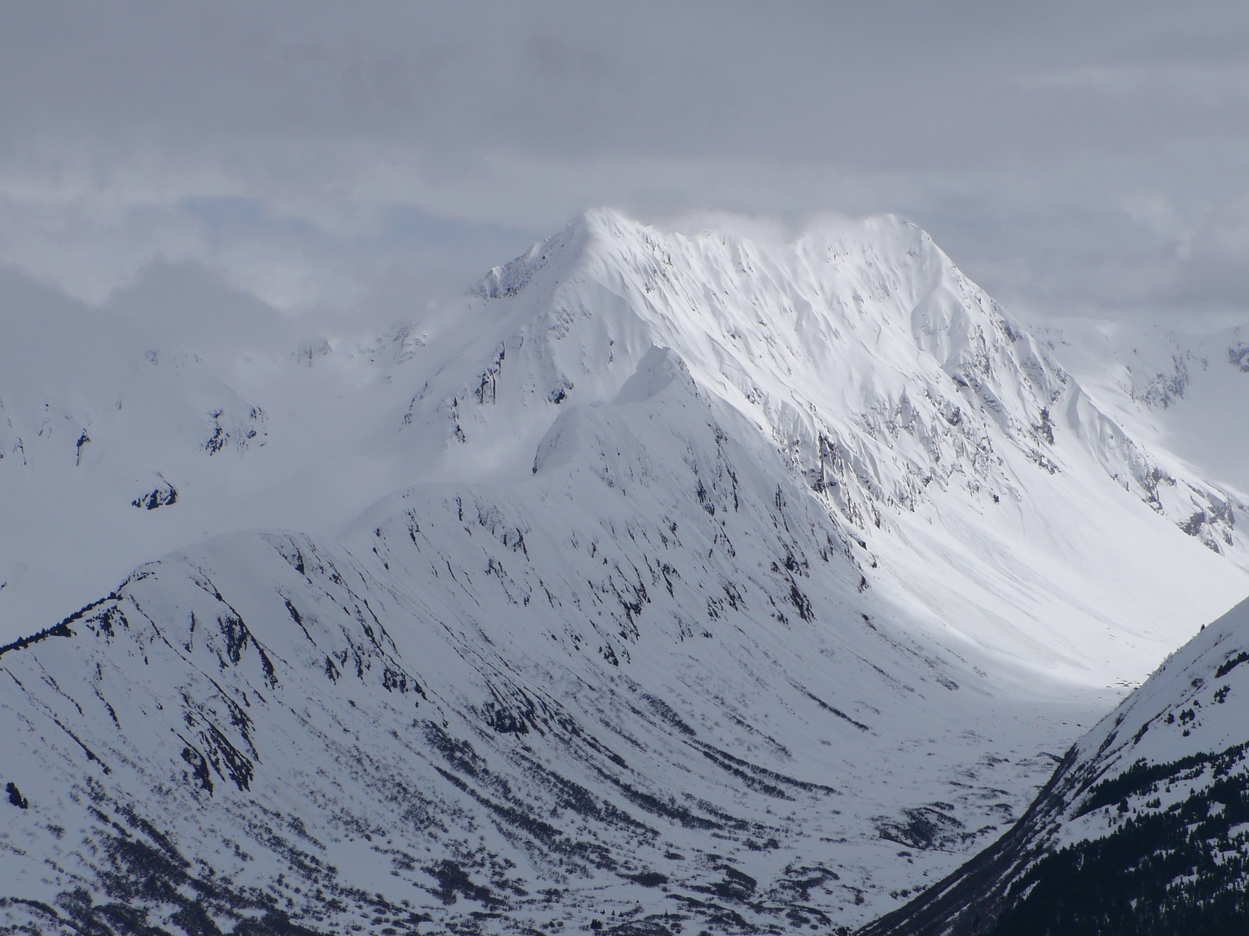
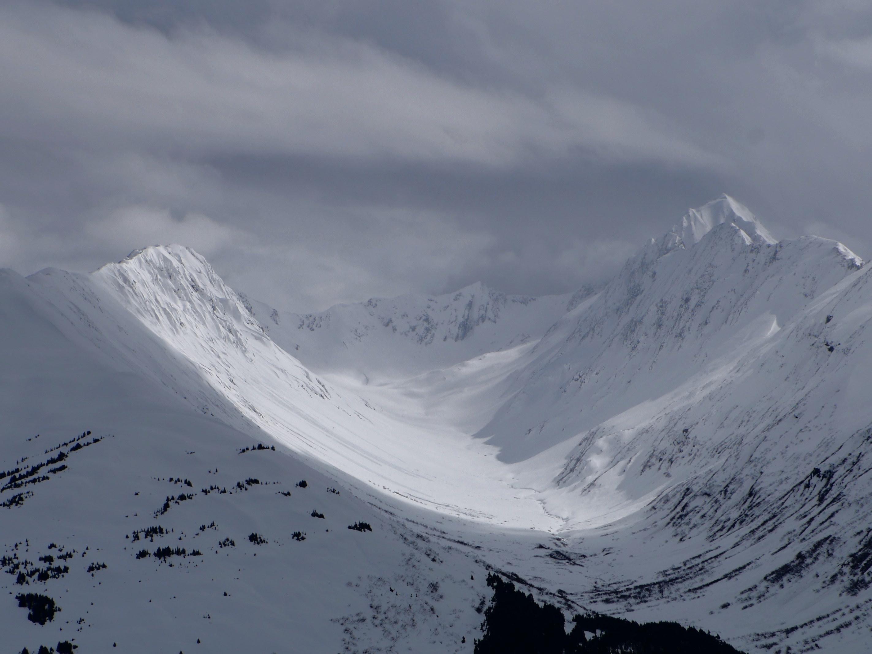
We did not get any red flags or unstable results today, but it was striking to see how the midwinter snowpack is still slow to transition on shaded slopes. See attached photos and snowpit profile for detailed information.
Avalanche
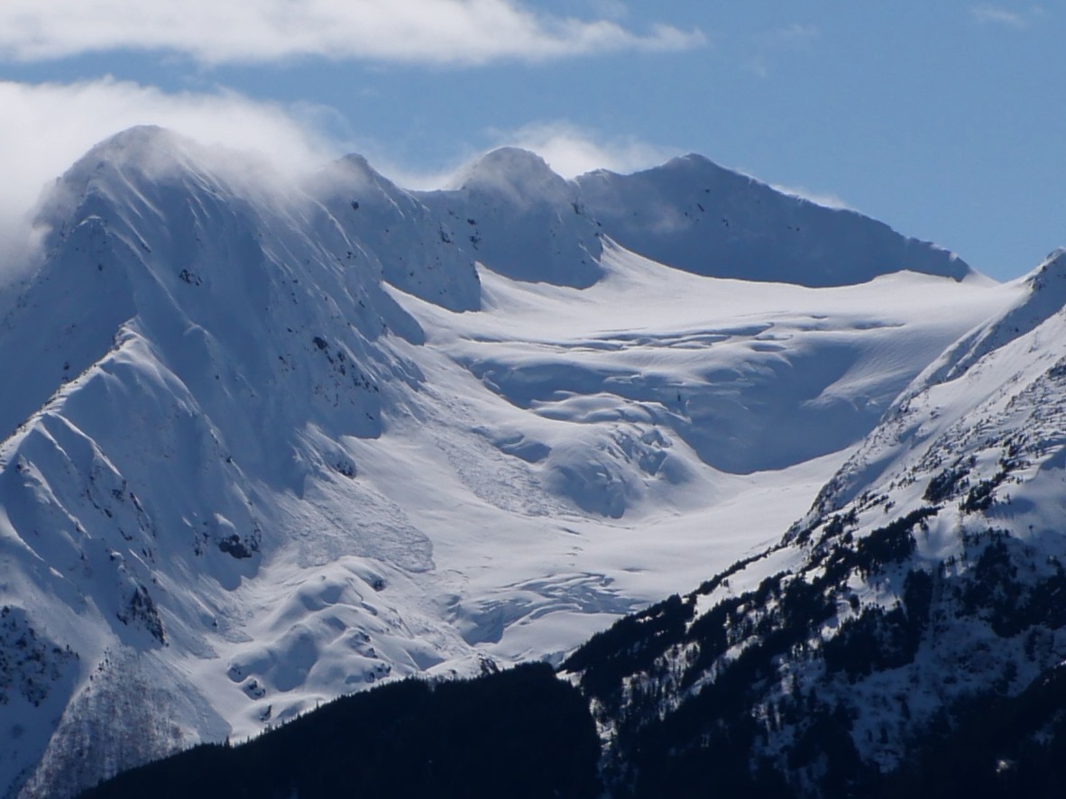
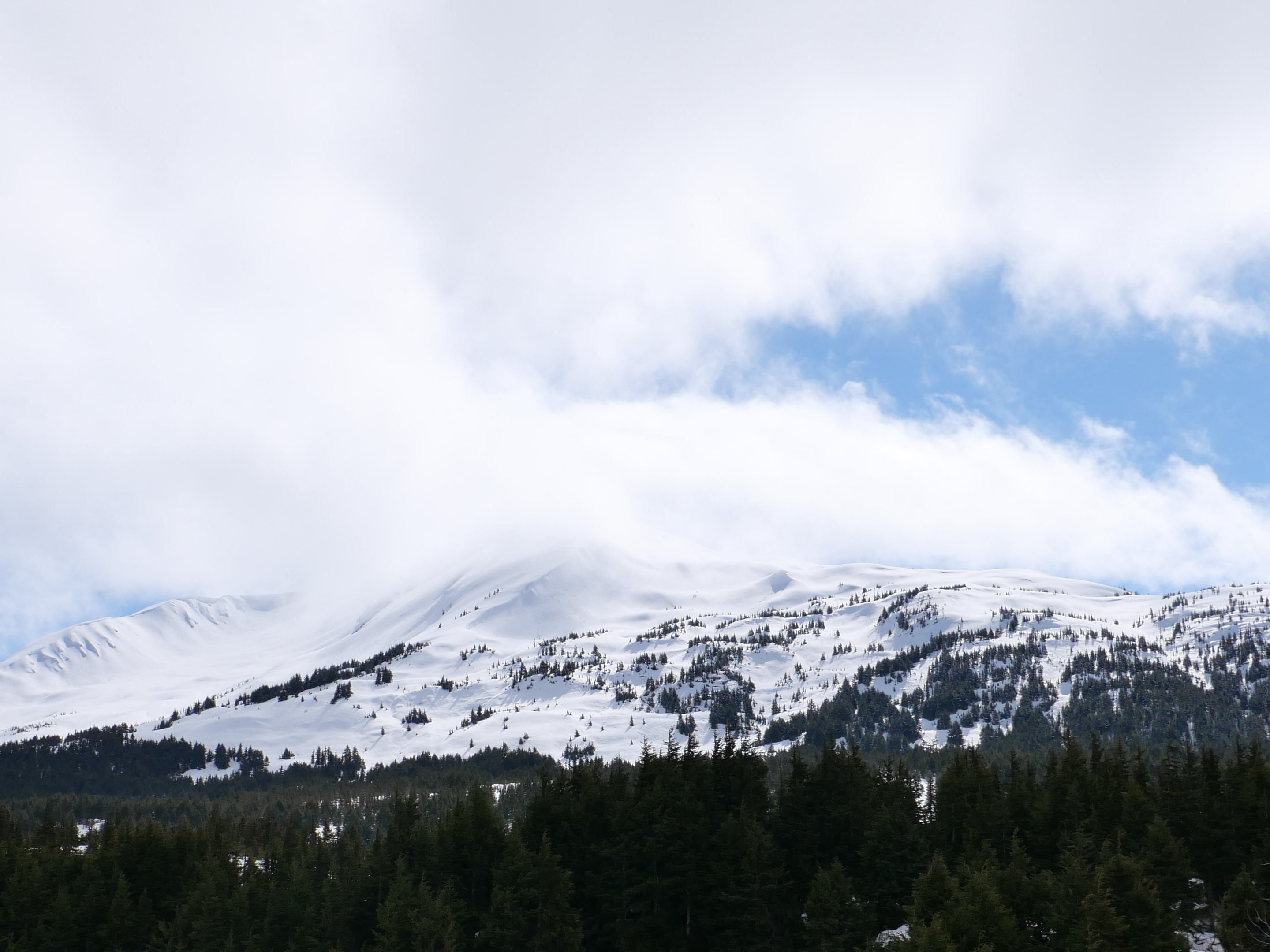
Natural avalanche activity on Explorer, Wolverine, and Eddie's Spines. No natural activity noted on Seattle Ridge, although visibility was quite limited.