
Quick report
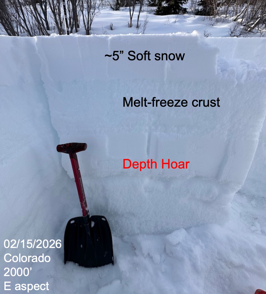
One group toured out to Colorado and another group toured out to Tenderfoot for snowpack assessment day for day two of a Moose Pass Rec 1 course. Snowpits were dug between 1800' to 2000' and found similar structure and snowpack set up between the two locations. 3-5" of surface soft snow on top of a thick, hard, melt-freeze crust, all over basal facets and depth hoar. Instability tests showed poor snowpack structure and good strength and were overall unconcerning. (CT24, CT30 Q3 x5, ECTX x3, ECTP30) All test failures occurred at the interface between the melt-freeze crust and depth hoar (80cm down on Tenderfoot, 50cm down on Colorado) Observed flagging at ridge top throughout the day and observed some snow being transported and wind effect at 2000'.
Avalanche
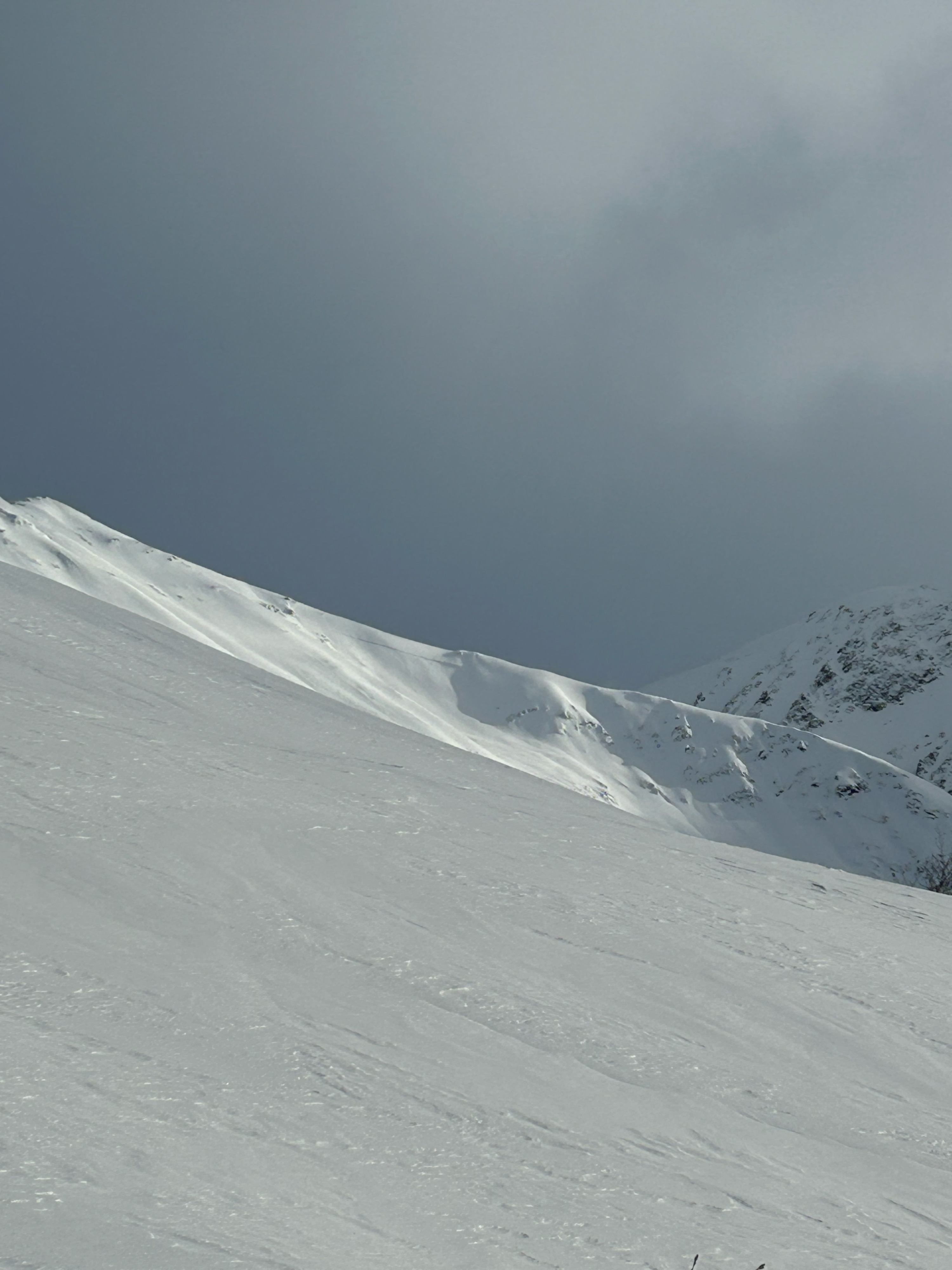
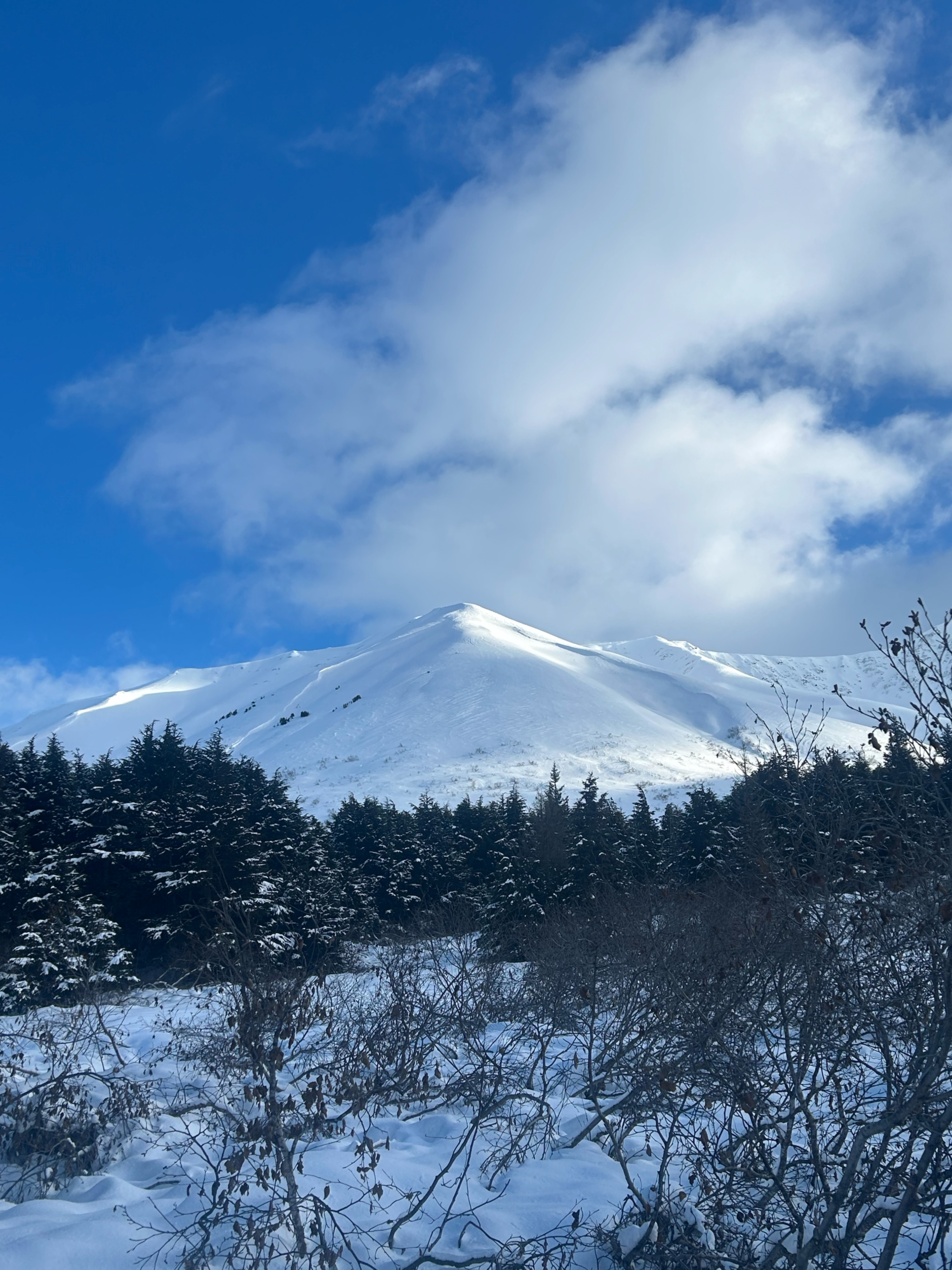
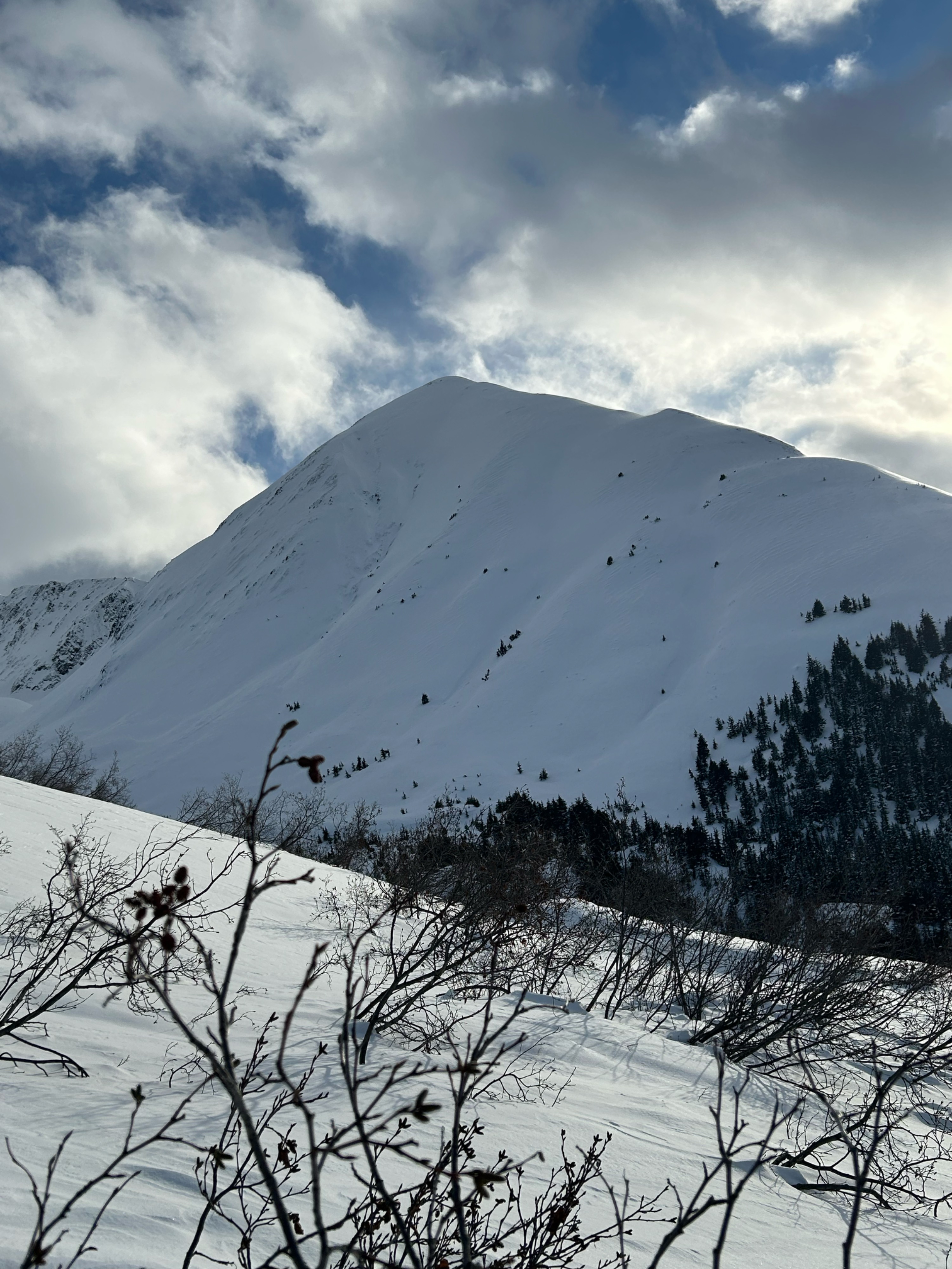
Observed a large (500 to 600' wide) crown on a NW facing slope near the creek headwall south of Tenderfoot at ~4000' (pic attached). Observed a smaller crown on the W face of Butch in a wind loaded feature at 2500'. Other smaller crowns were observed scattered around on similar features on the east side of the highway.