
Quick report
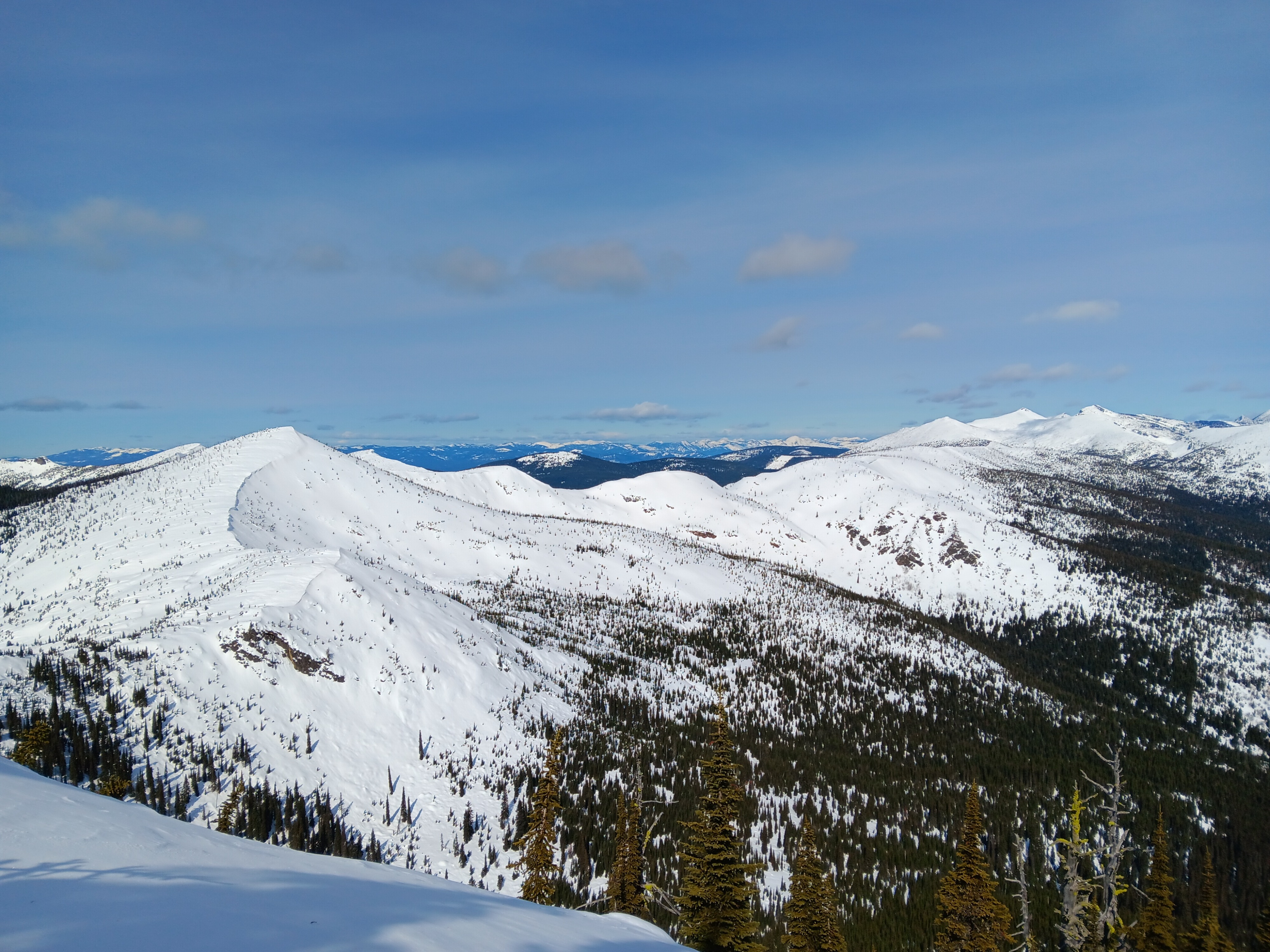
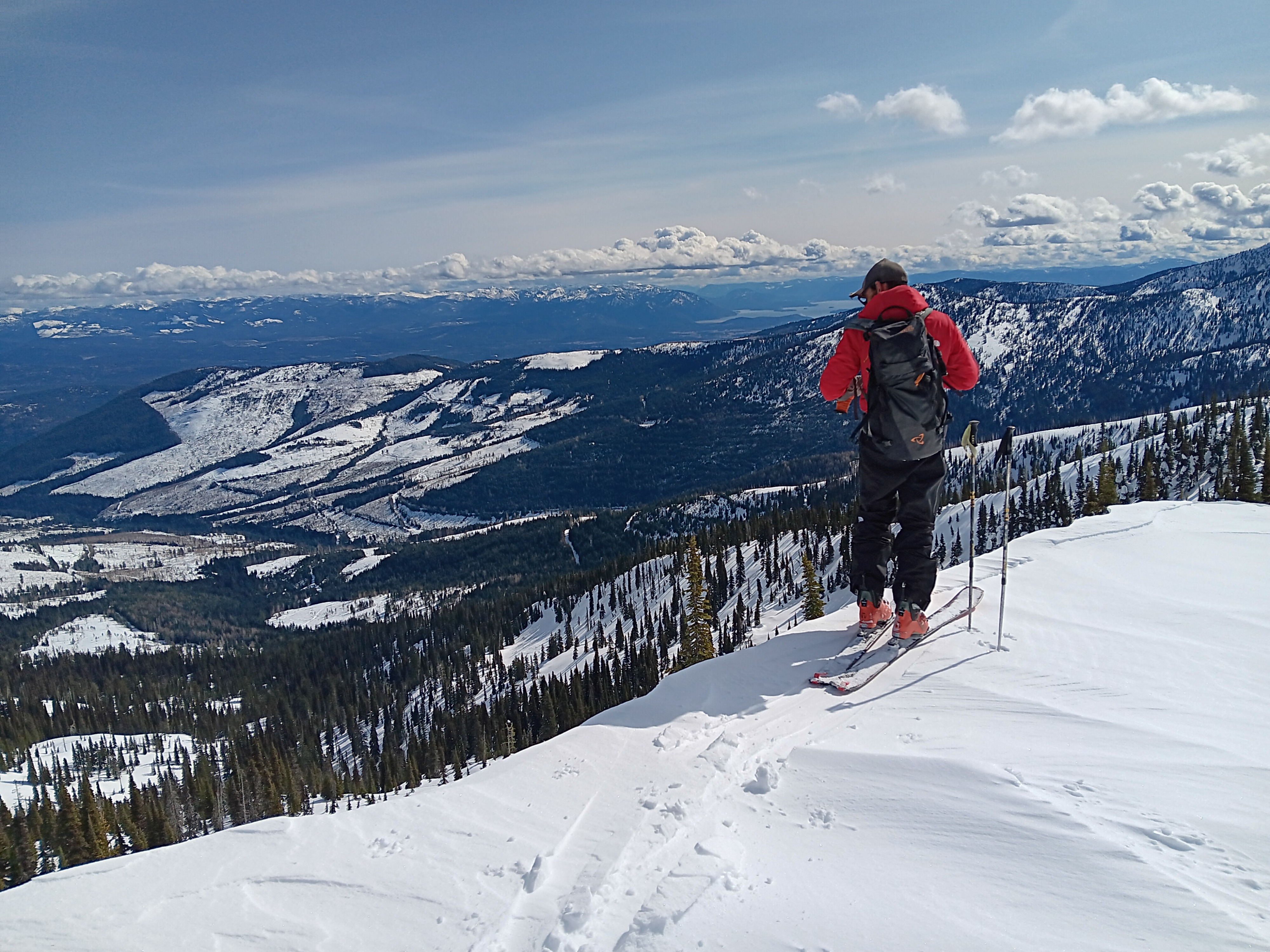
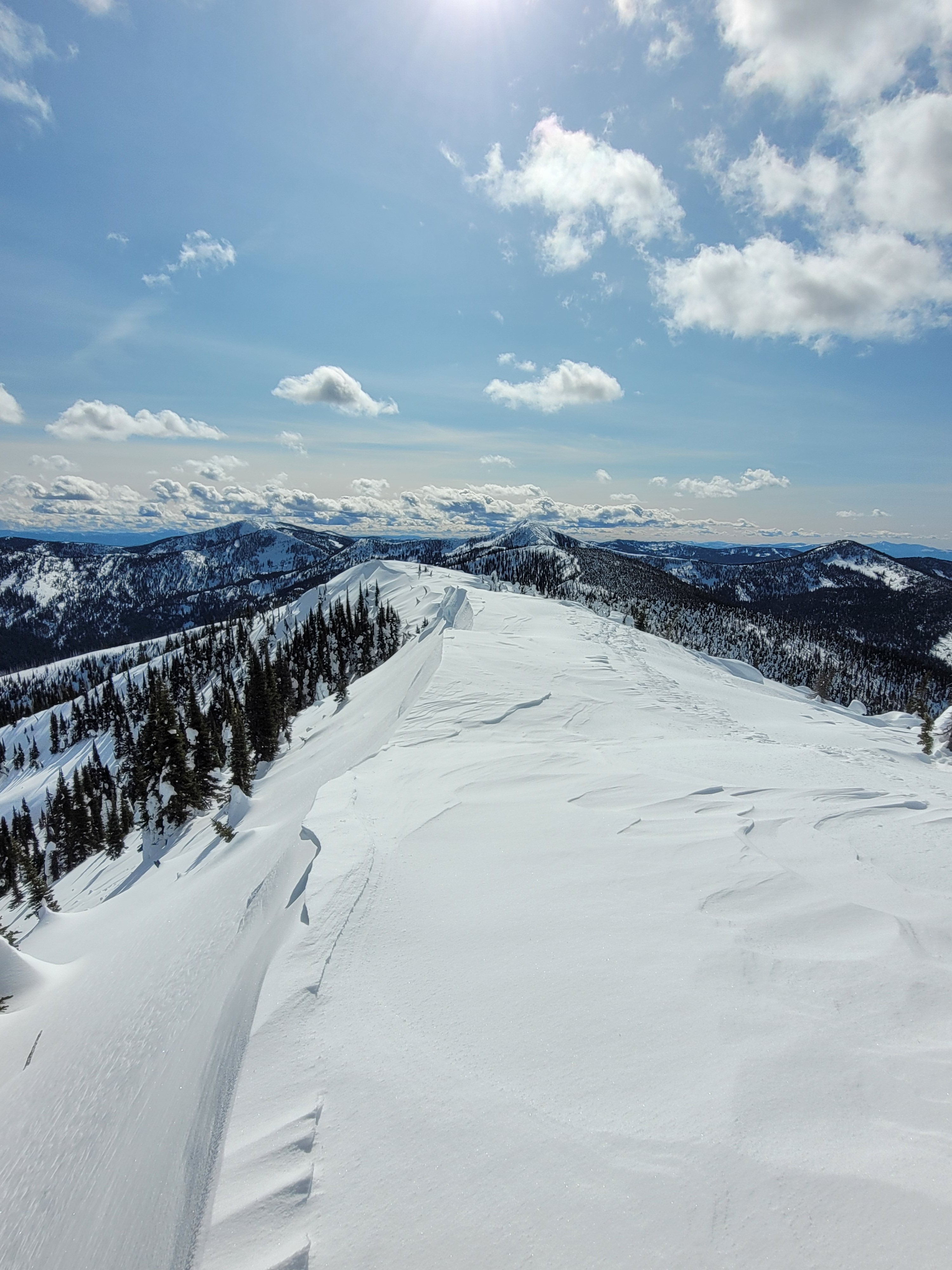
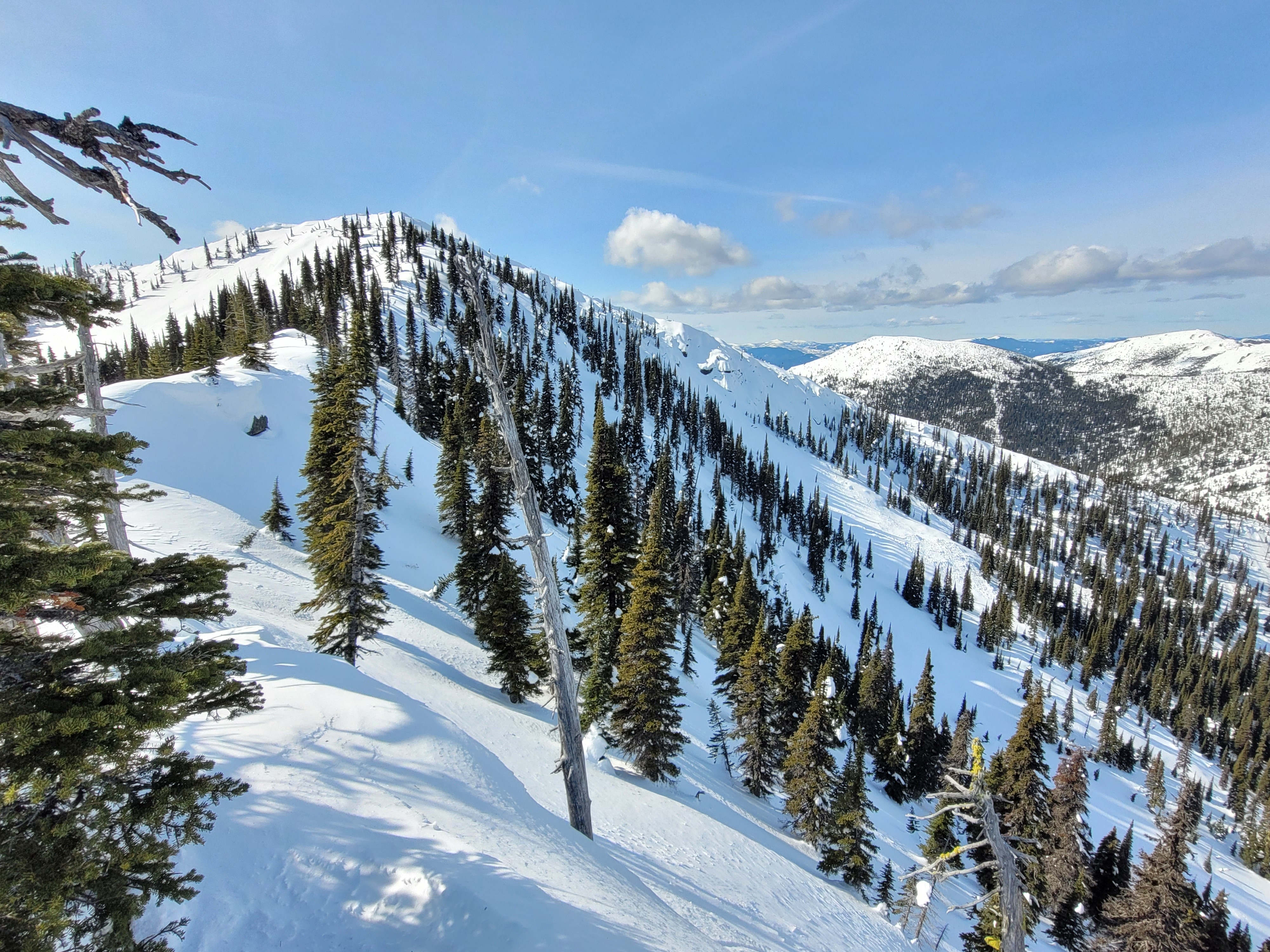
Conditions were generally stable, beginning to trend towards spring-like conditions with an increasingly dense and homogeneous snowpack even at the higher elevations, with little evidence of recent windslab formation nor concerns in the persistent weak layers. However, surface conditions were variable, ranging from 2-4" of powdery snow on the sun-protected lee-ward wind deposited aspects that provided good quality snow, to wind-scoured supportable crusts on southerly aspects and melt-freeze crusts on the sun-exposed aspects, with corn snow on the lower slopes. With the stormfront that was starting to blow in today bringing new precipitation tomorrow and throughout the week, we will keep this range of surface conditions in mind as we investigate the adhesion of the incoming precip upon them.
Weather
- Air Temp
- 40
- Cloud Cover
- few
- Wind Loading
- previous
- Recent Snowfall
- trace
- Snow Avail For Transport
- small smounts
Mostly clear and sunny, calm in the morning but winds from the west increasing during the afternoon. Moderate SW ridgetop winds but no active snow transport occurring.
Snowpack
We observed a dusting of new snow over previous varied snow surface conditions. Crusts on or near the snow surface vary by elevation and aspect. At 5000’ a 1F hard melt freeze crust sits atop wet faceted soft snow.
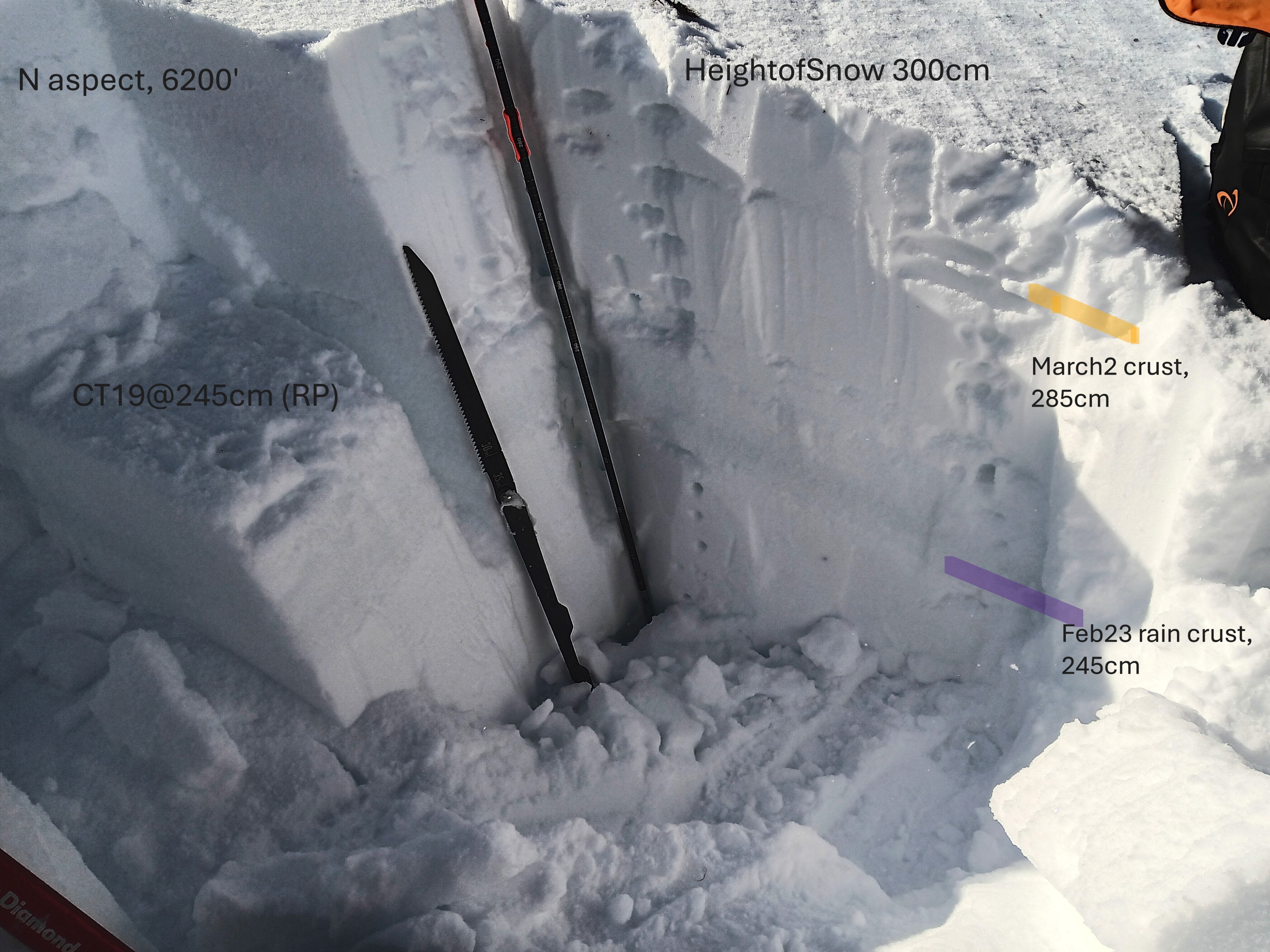
Snowpack height of 300cm was observed on a N aspect at 6200'. The March 2 sun/melt-freeze crust (0.5cm thick, P hard) was 15cm down, and the Feb 23 rain crust (K hard, 10cm thick) 55cm down from surface. A compression test showed stubborn reactivity on a density change in between these two crusts (CT19@260cm, RP). 1F+ hard snow was found below the 2/23 rain crust. The January Drought Layer (JDL) was over a meter deep at this location. Due to the JDL depth, the slow strenghtening of the faceted grains, and being underneath the 2/23 widespread rain crust, we did not conduct any snowpack tests on the JDL. On a south aspect at the same 6200’ elevation a number of hard crusts were observed in the top 30cm (1ft). The partly sunny day warmed southerly facing snow slopes but at mid day we did not observe any snow surface melt occurring.
Avalanche
- Size
- D2.5
- Aspect
- E
- Trigger
- N
- Elevation
- 6100 ft
Old crown line and debris estimated to be from 2/23 rain event