
Quick report
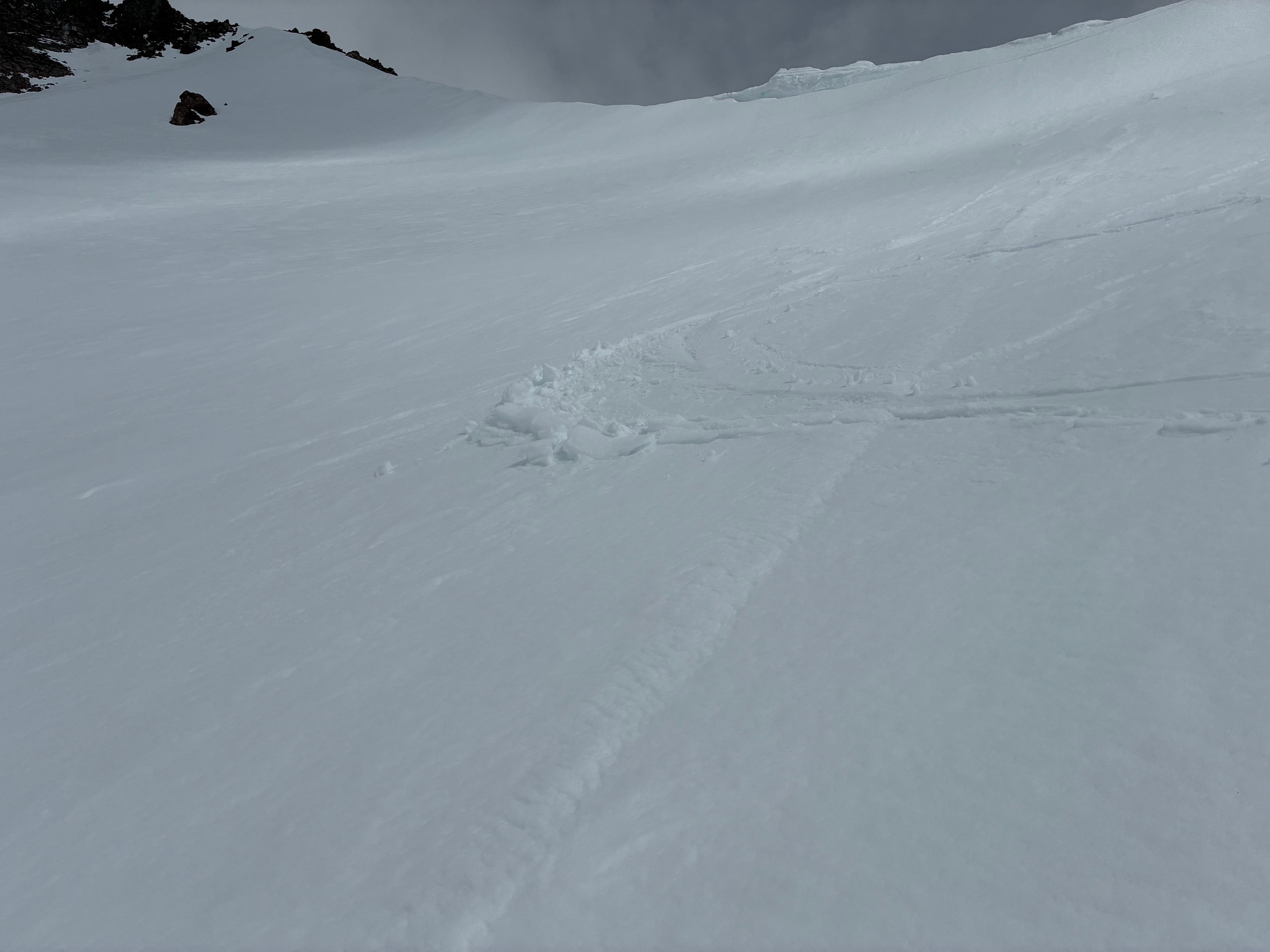
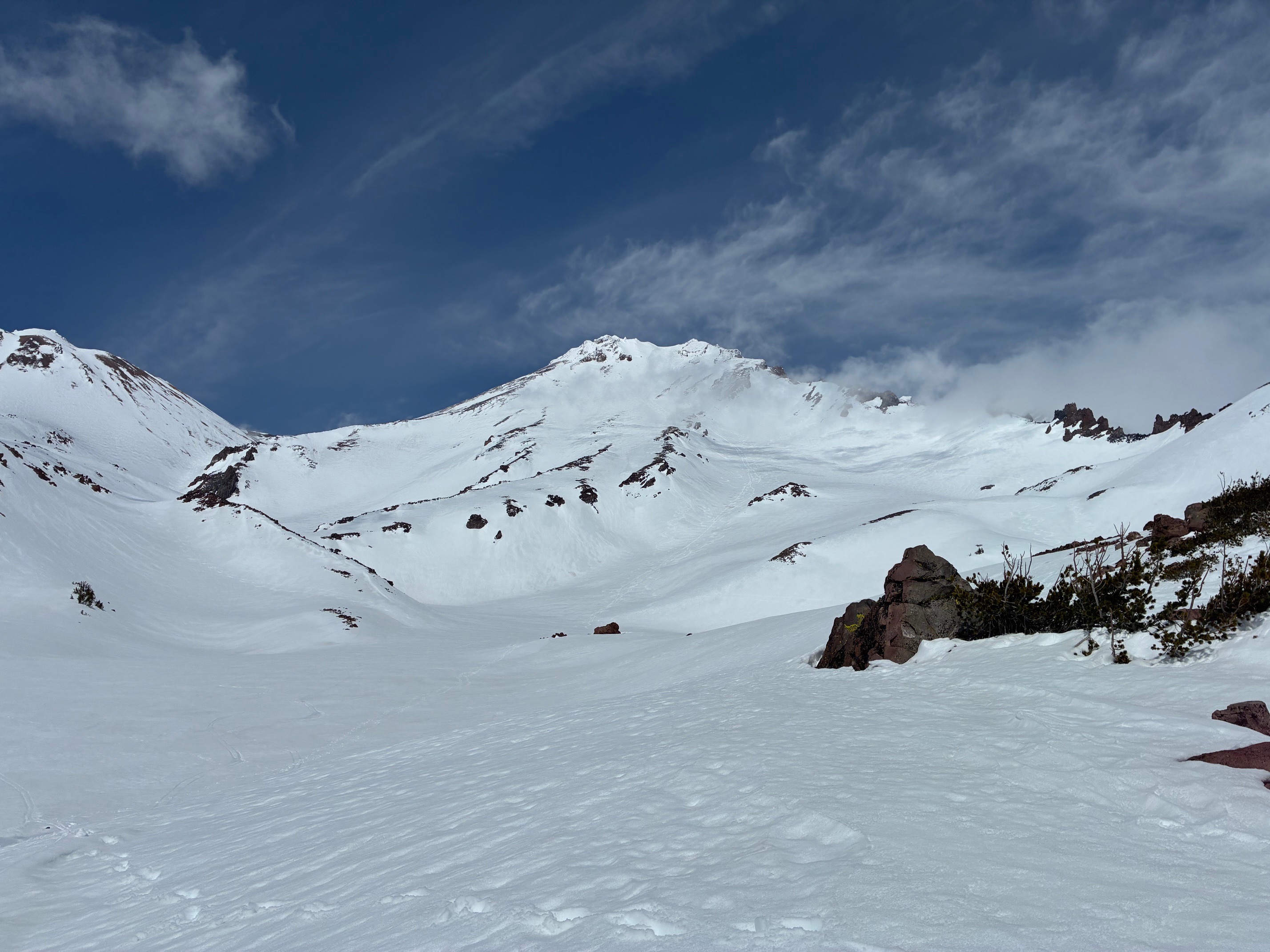
Variable snow surfaces are still present on the upper mountain from last weekend's storm. While the snow appears well bonded to the underlying spring snowpack, keep an eye out for blowing snow and isolated drifts that may hold unstable snow. Wet loose avalanches will continue to be a problem this week with the warm sunny days. The warmer temperatures this week will also help in the consolidation of the old storm snow.
Warming and wet snow surfaces, especially on solar aspects, but no new wet loose avalanches noted today.Weather
- Air Temp
- 40-45
- Cloud Cover
- scattered
- Wind Loading
- none
- Recent Snowfall
- 0
- Snow Avail For Transport
- small smounts
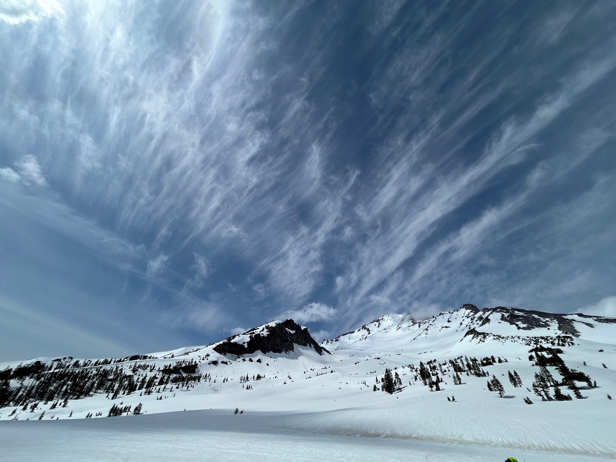
Mostly clear to partly cloudy and cool temperatures. Winds were calm to light. Climbers also noted calmer conditions at the summit than expected.
Snowpack
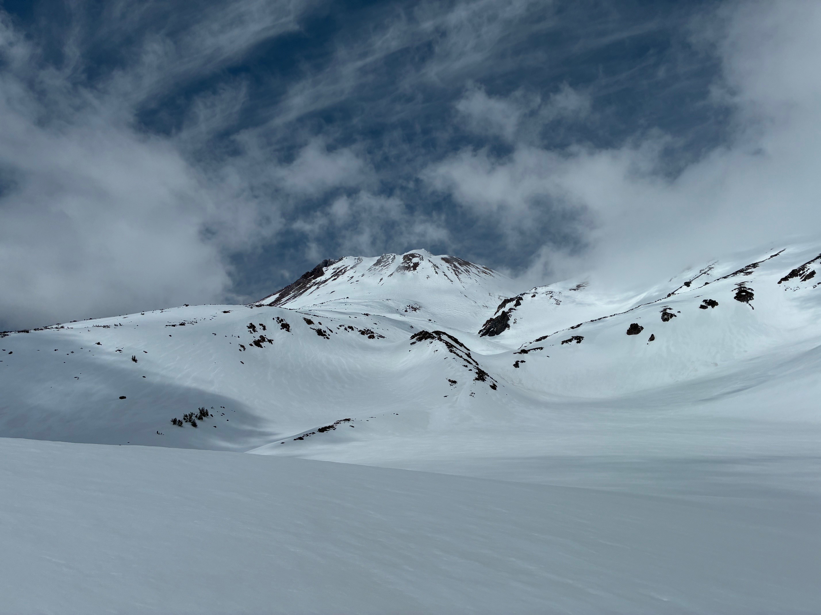
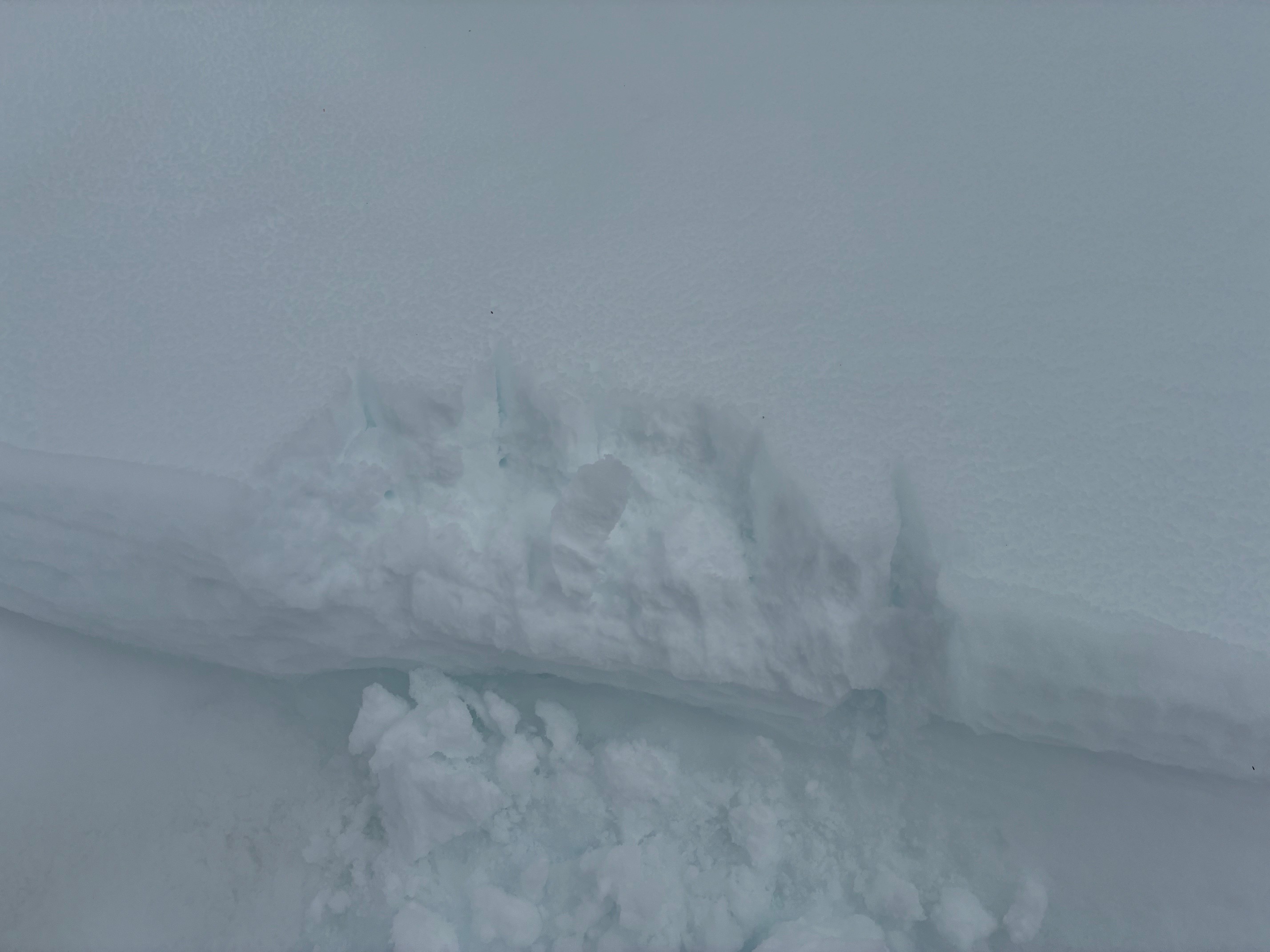
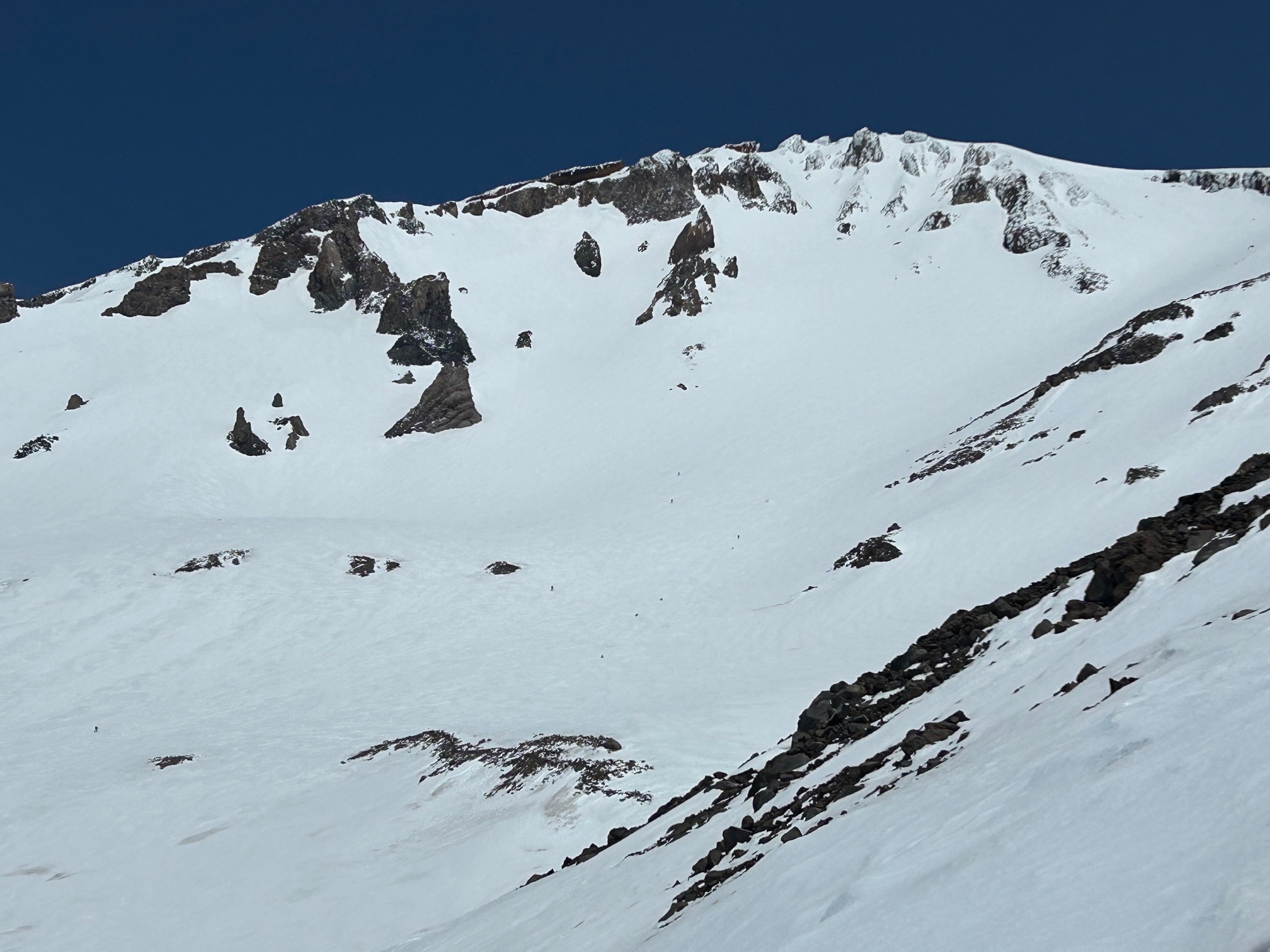
Today we observed isolated and more continuous sections of wet unconsolidated snow above about 9,000' from last weekend's storm. Reports from climbers on the upper mountain revealed pockets of cold snow above 12,000' in the early morning which softened up in the afternoon.
Avalanche
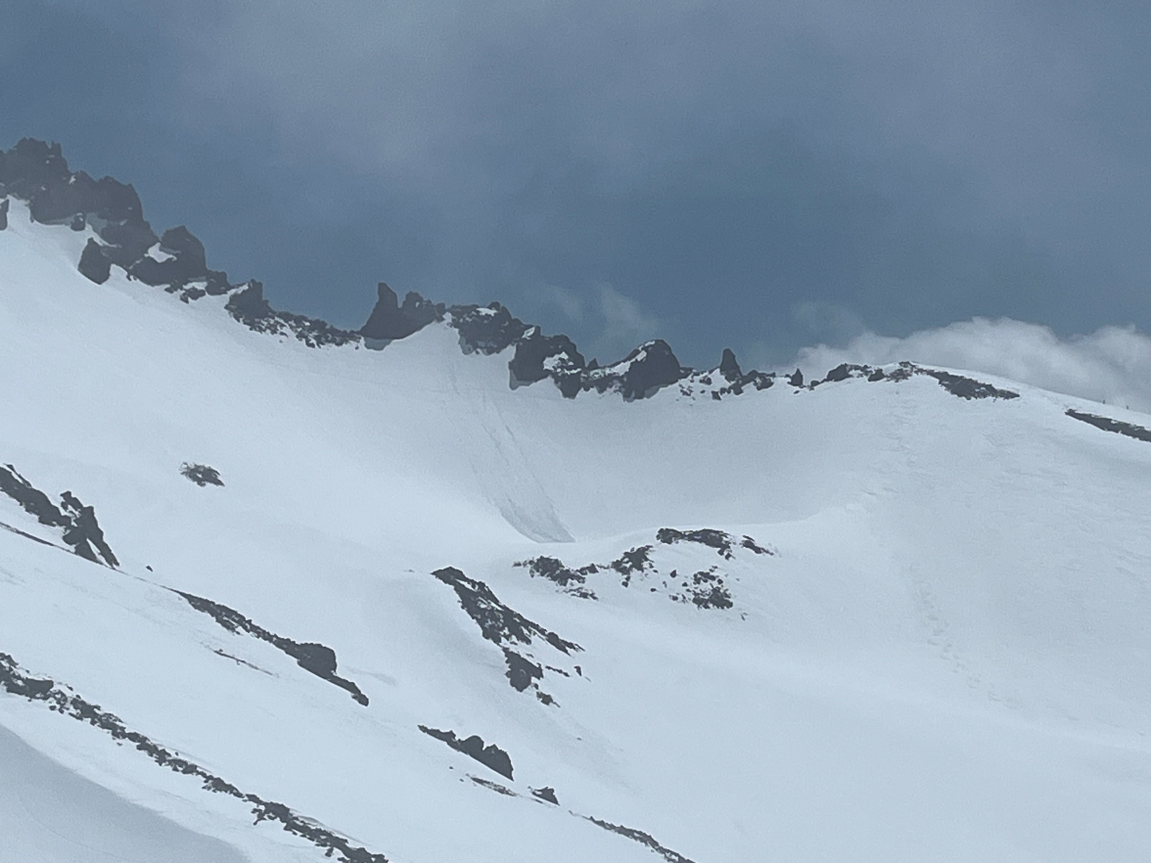
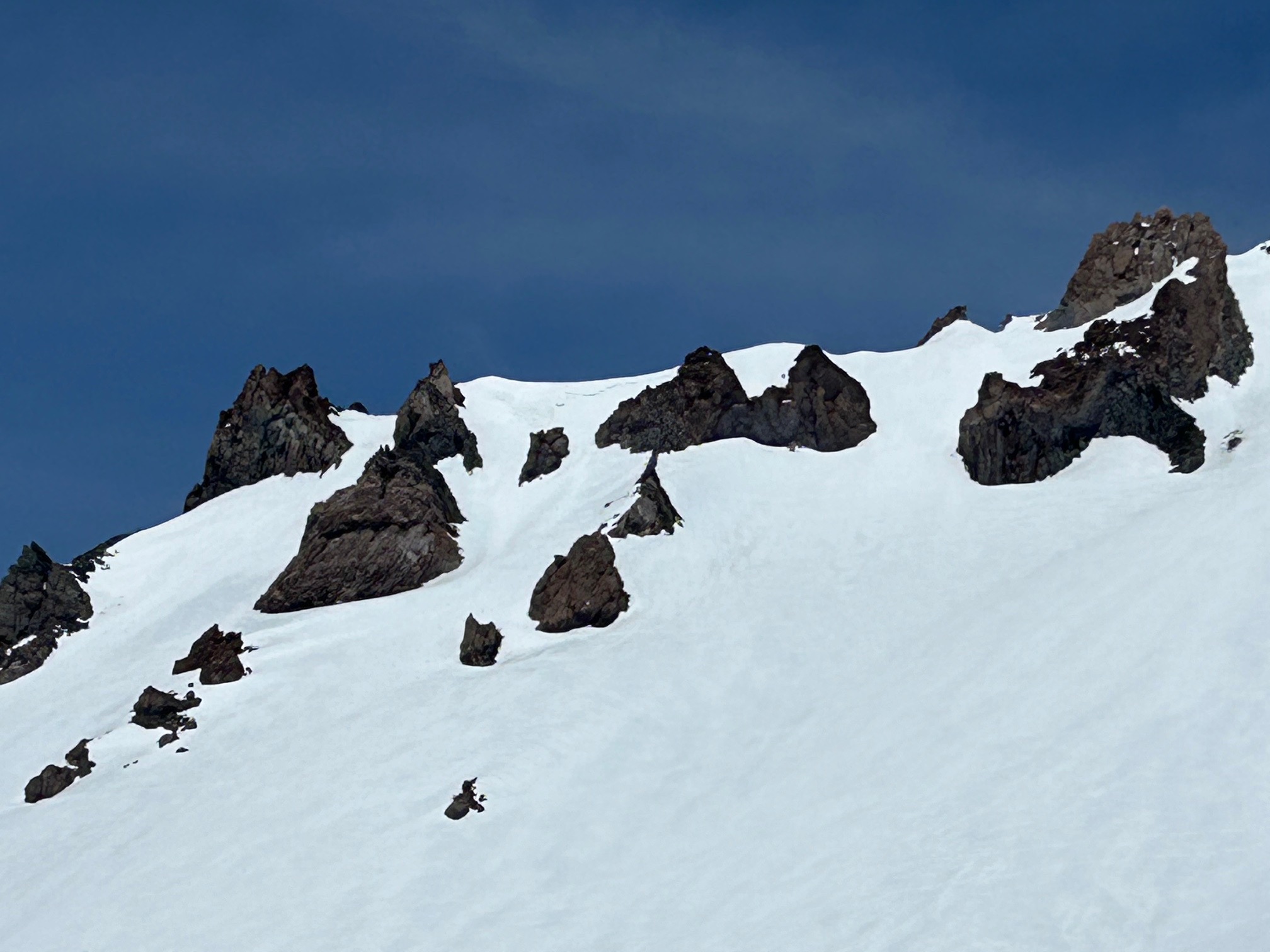
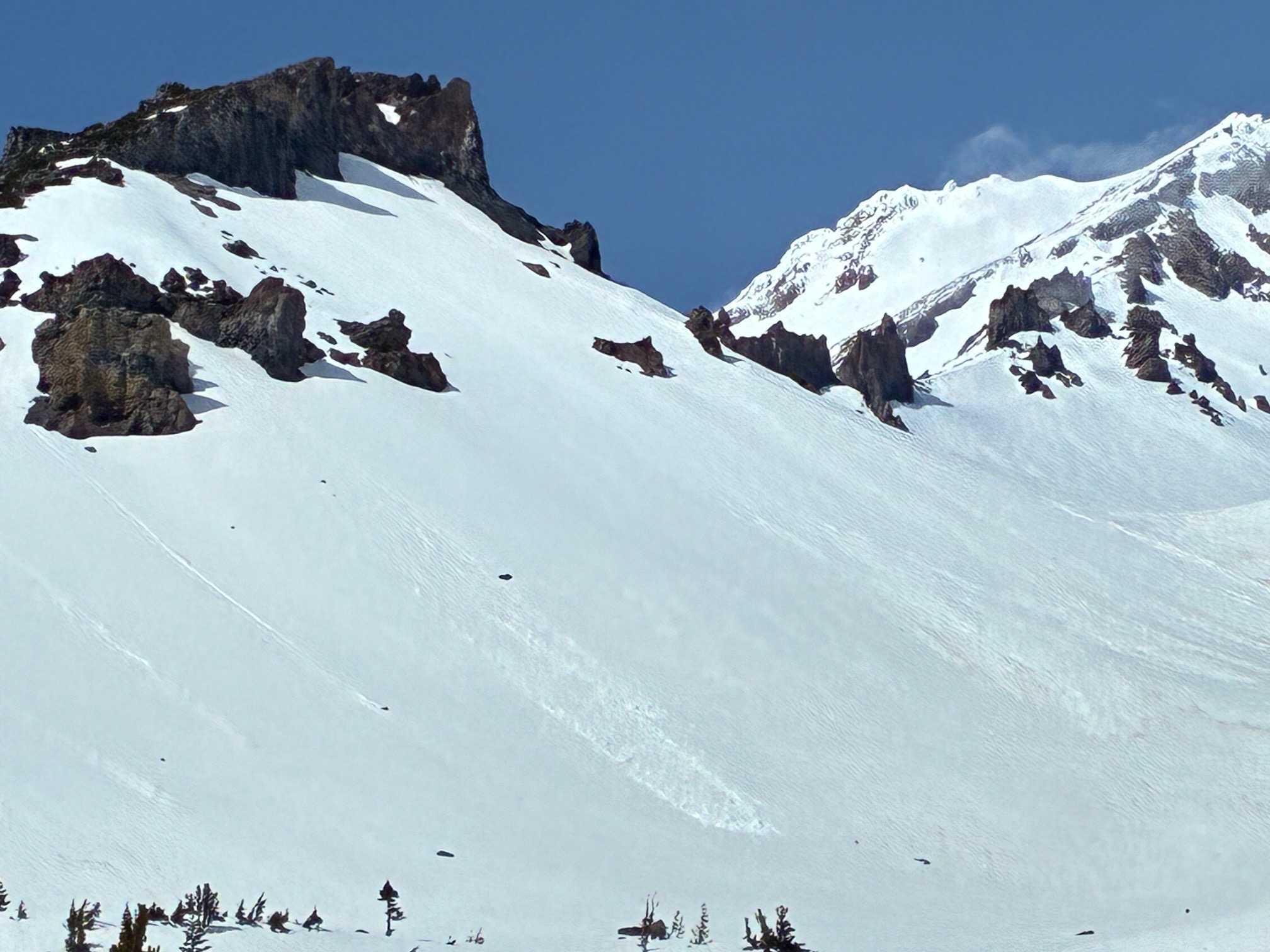
Wet loose avalanches observed from previous days on Green Butte, Giddy Giddy and Casaval Ridge and a small wind slab after last weekend's storm. Overall, the recent snowfall appears well bonded to the old snow surface, but lingering instabilities may be present in isolated areas on the upper mountain.