
Quick report
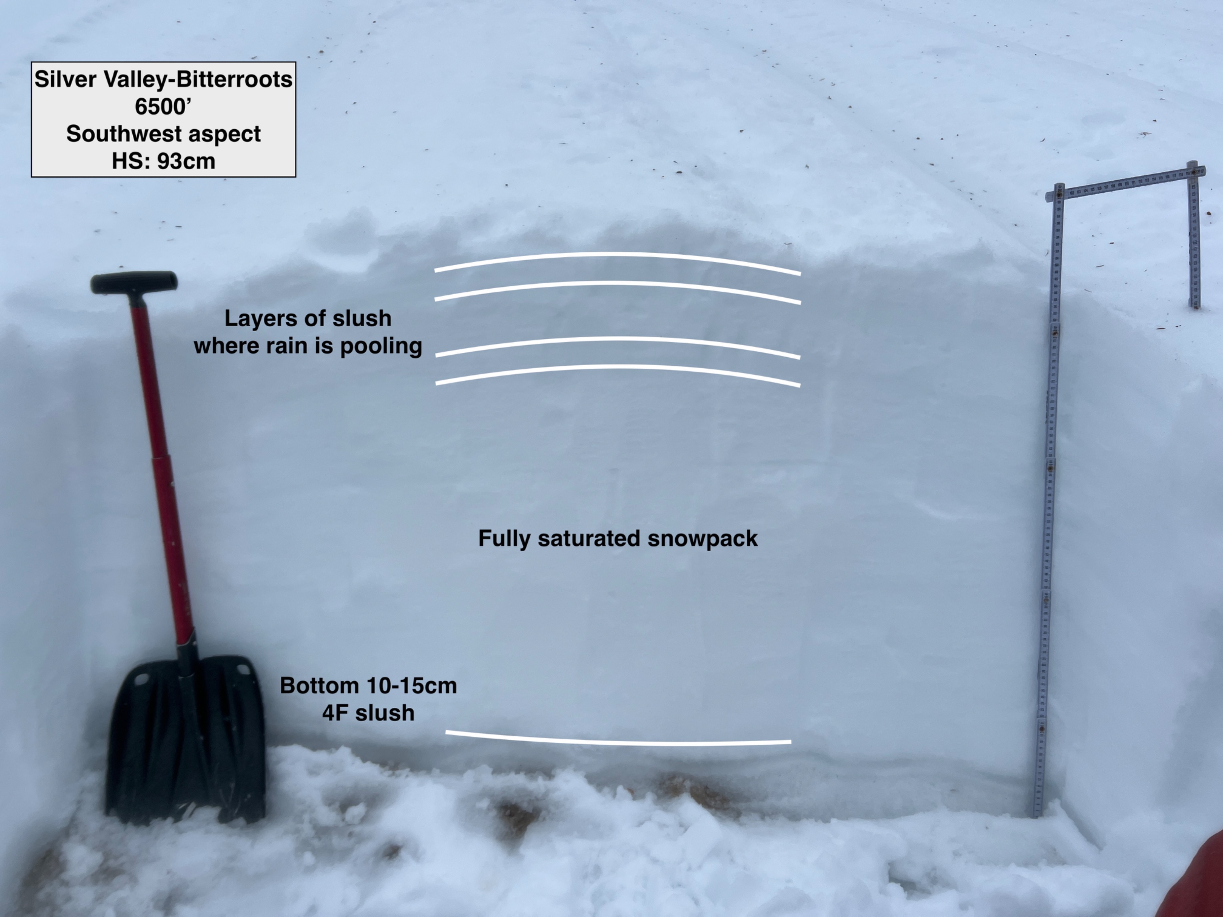
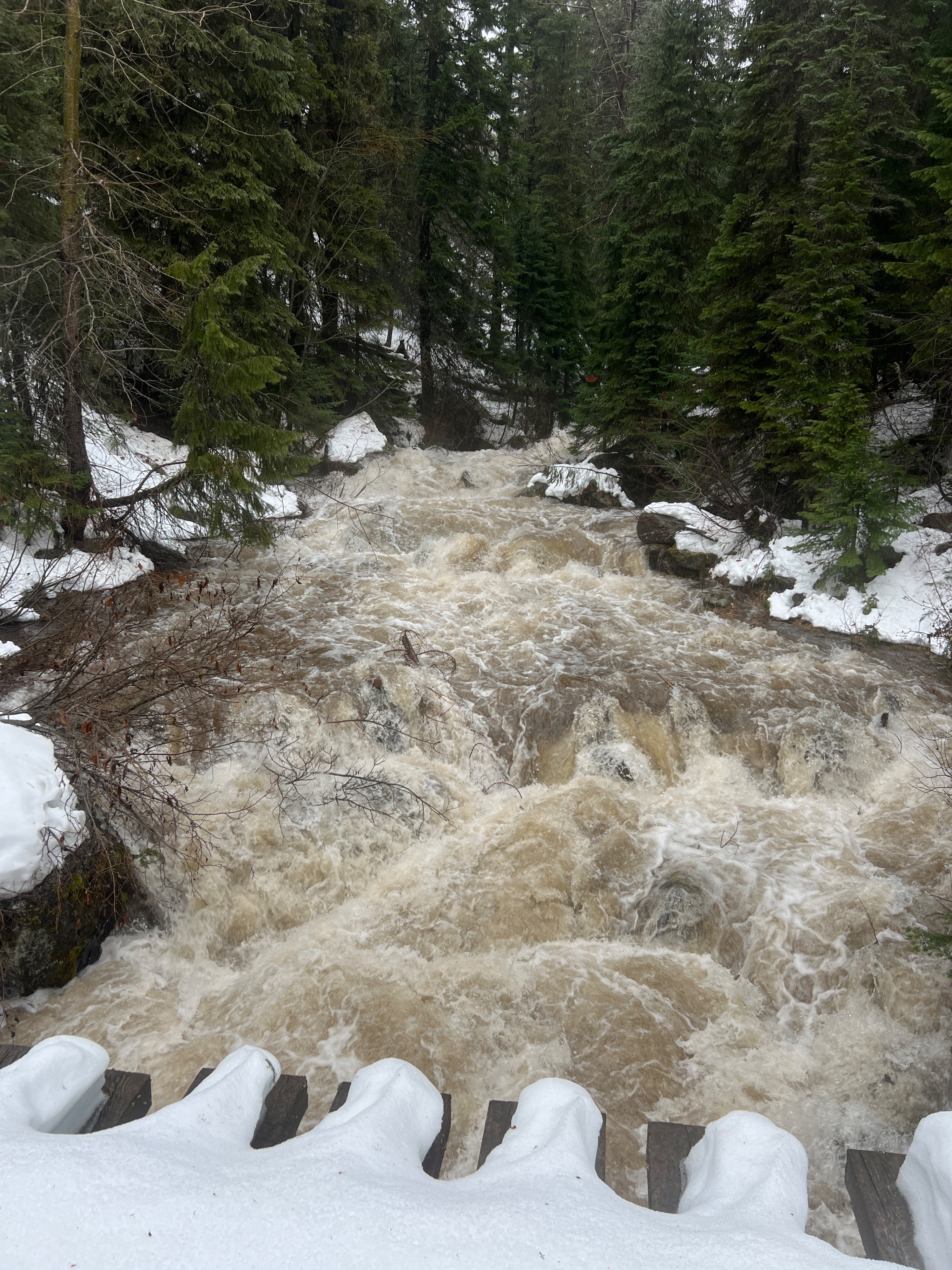
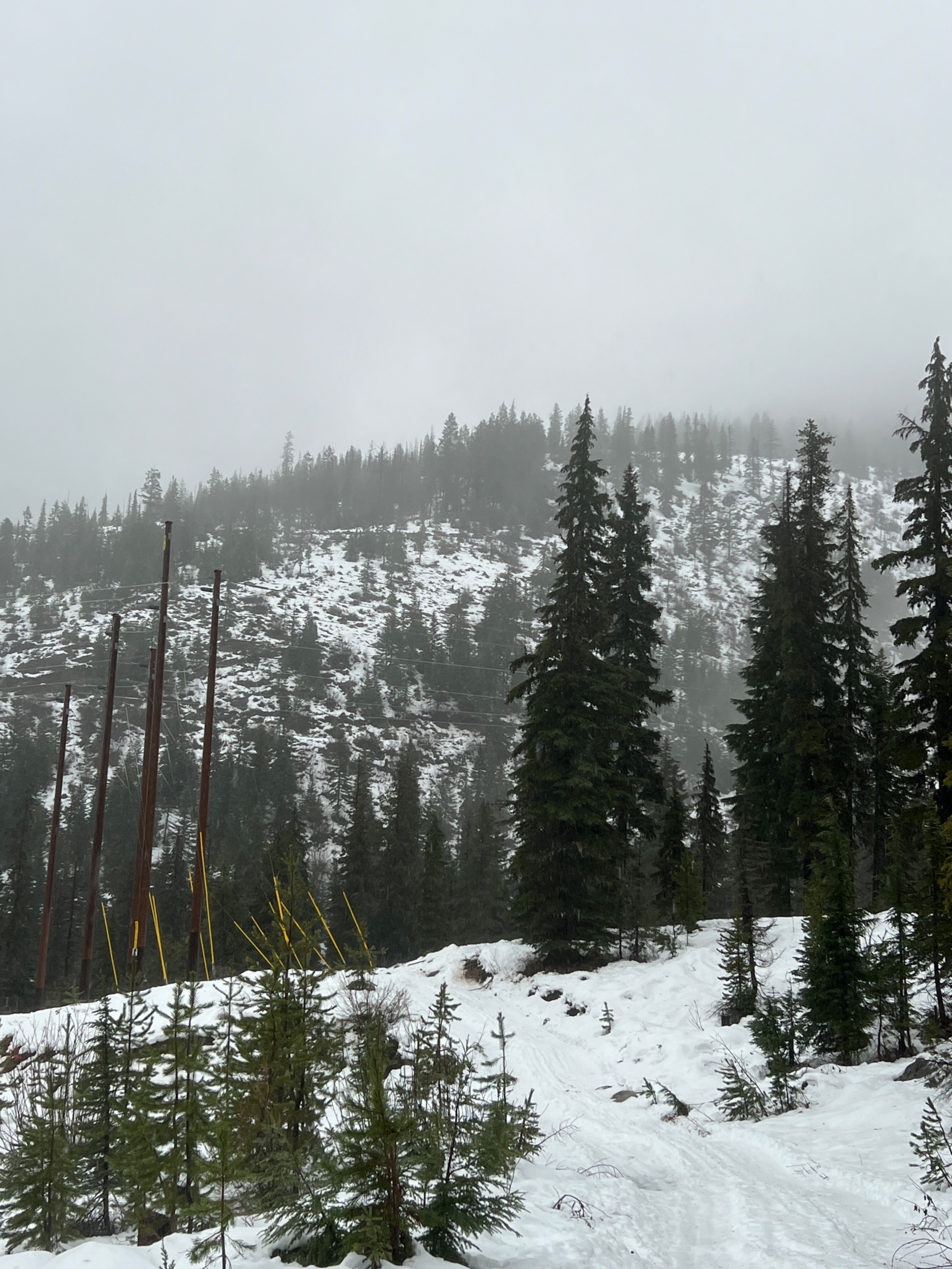
Rain totals from this morning show that the Silver Valley-Bitterroots have received 2.9-4.4 inches of rain since 12/9. This rain has saturated the entire snowpack at all elevations, leaving layers of slush in the middle of the pack and at the bottom.
Weather
- Air Temp
- 34
- Cloud Cover
- obscured
- Wind Loading
- previous
- Rain Elevation
- Rain observed up tp 6600' (Top elevation I reached)
- Recent Snowfall
- None observed
- Snow Avail For Transport
- none
Rain from the start of the tour until the end. Fog made for poor visibility. Moderate to strong winds from the SW/W.
Snowpack
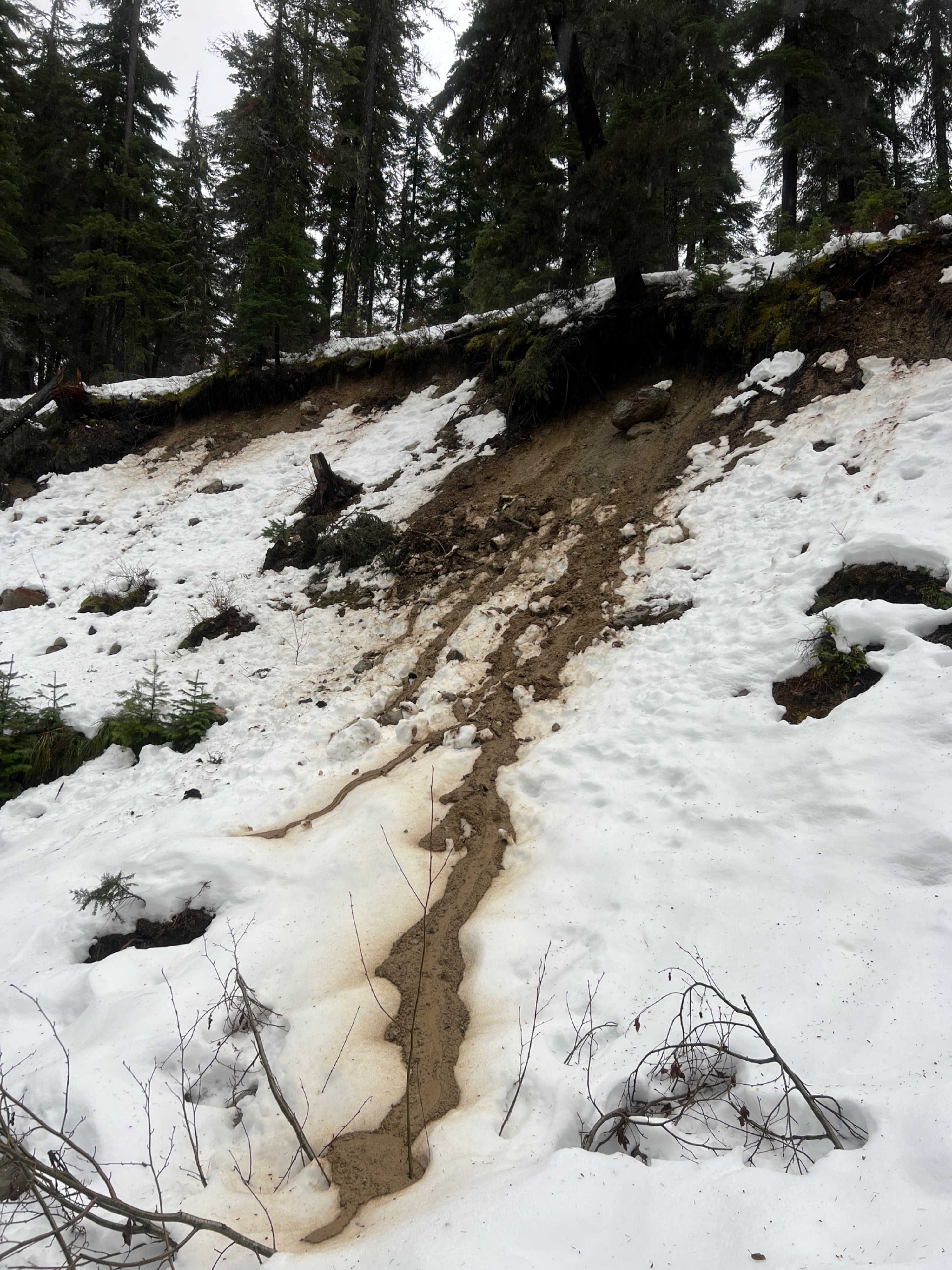
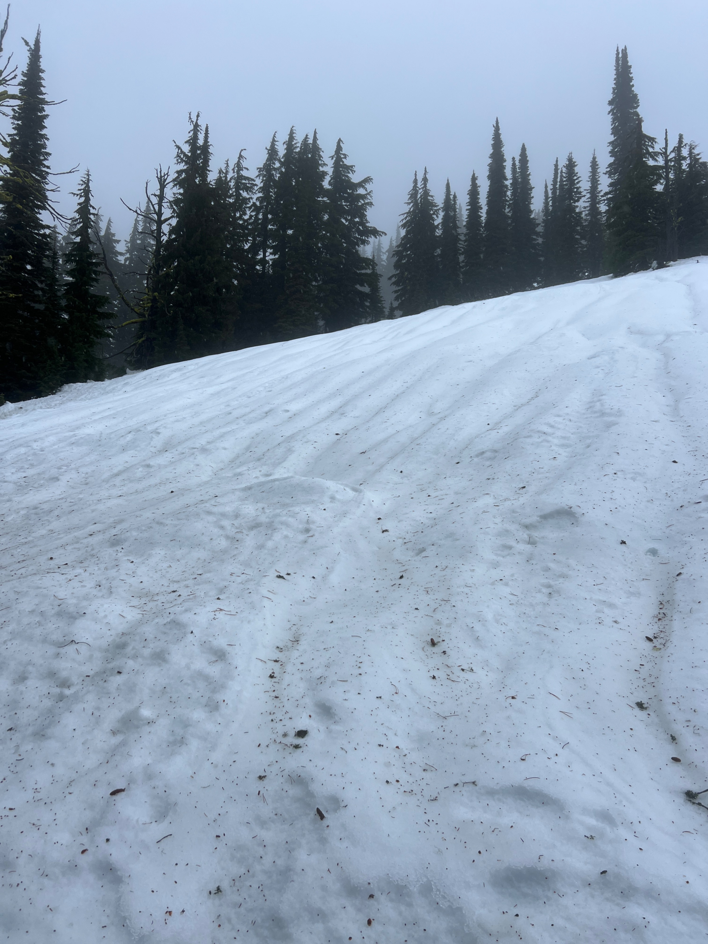
Rain from yesterday and today changed the surface conditions, and the previously existing supportable rain crust was softened to mush at all elevation bands. Rain runnels gouged all slopes, and lower elevation roads had running water. The entire snowpack is saturated and is made of melt forms and slush. The bottom of the snowpack has a 10cm slush layer, and there were 2 other mid-pack slush layers where water was pooling.
At 6500' on a SW aspect, HS was 93cm and was a previously wind-loaded area. CT results showed several PC and SC failures with easy to moderate force in the top 30cm.
Today, I went back to the same location where I had collected some field data right before the rain on snow event that started on 12/8. Key takeaways:
-Below tree line has lost over 50% of snowpack depth.
-On 12/7, my pit at 6200' had a HS of 94cm. Today at the same location, the HS was 60cm.
Avalanche
Visibility was too poor to see any avalanches.