
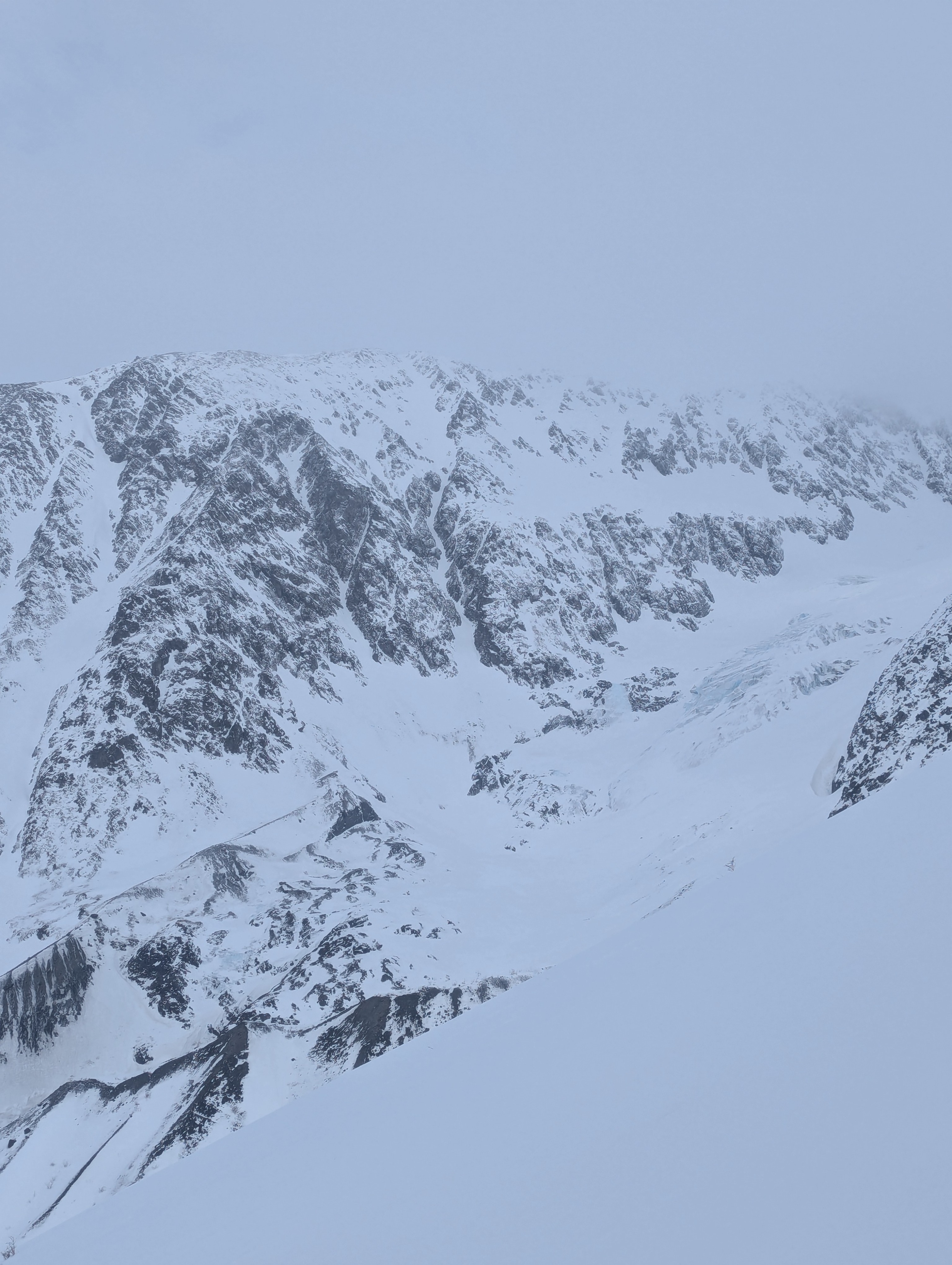
Quick report
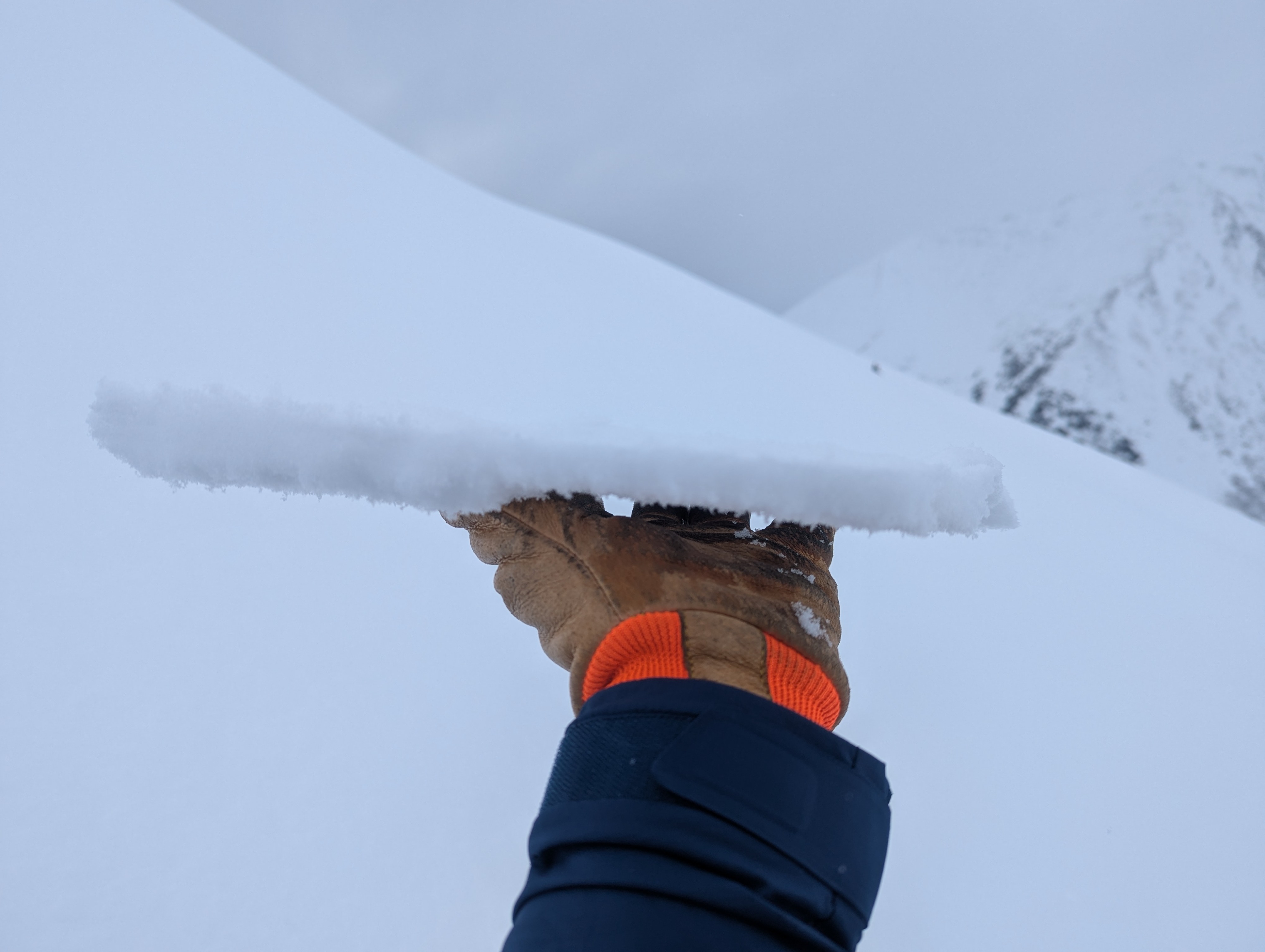
From the trailhead to ~2000' we found warm wet snow that did not freeze overnight. Above this, the snow slowly transitioned to dry with a thin melt-freeze crust on the surface up to our high point of 3100'. There was 4 to 5in of new snow that had accumulated over the weekend, while upper elevations in Turnigan only received 2in.
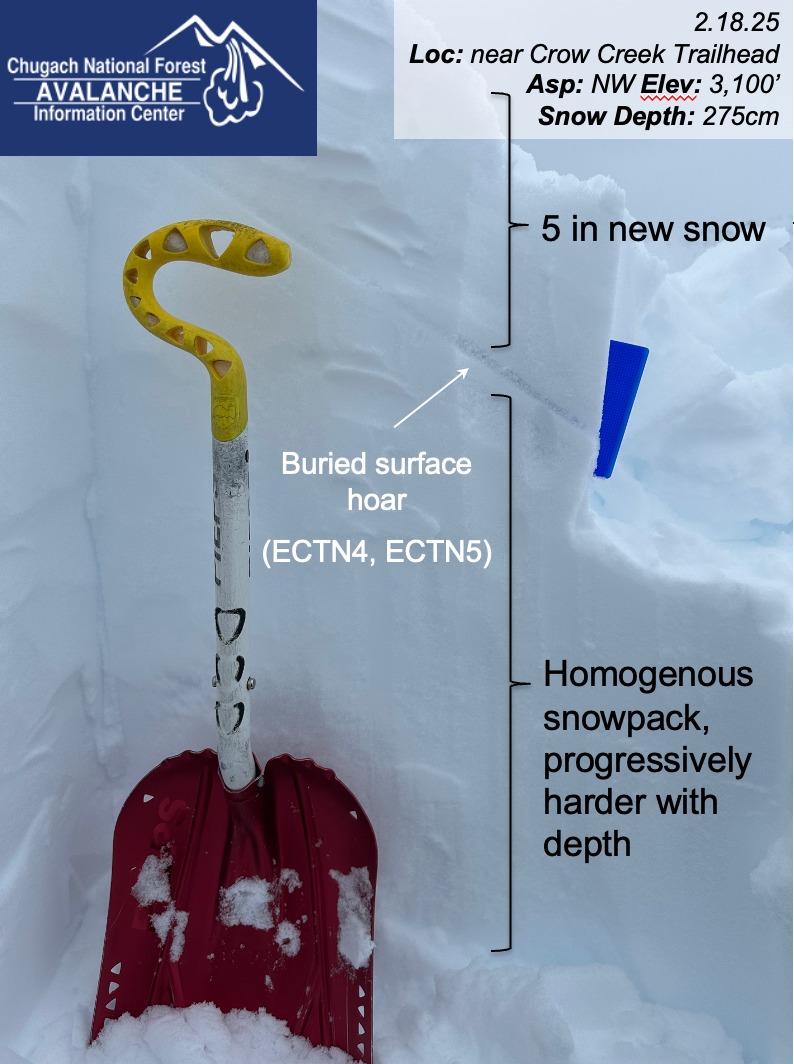
In two nearby snowpits at 3100' on a NW aspect, the new snow appears to have fallen on weak faceted snow in one location and buried surface hoar in the other. We were surprised when we did not get any concerning results in our snowpit on the layer of buried surface hoar. This snowpit was near a ridge and the surface hoar could have been blown over as the new snow was deposited on top of it. This will be an important layer to track going forward since it has the potential to propagate and create large avalanches. Besides these weak layers near the surface, the rest of the snowpack was relatively strong and homogenous.
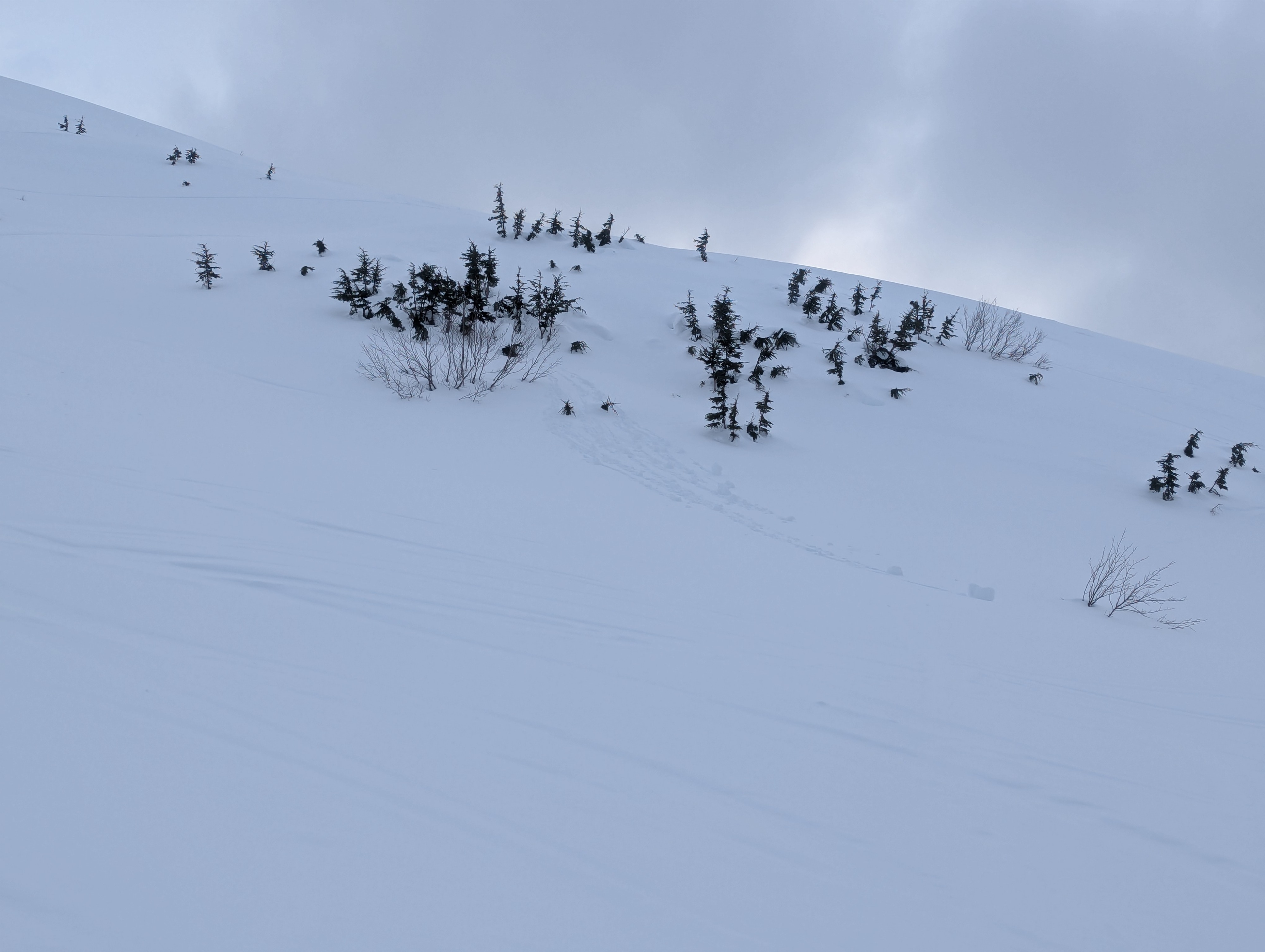
Widespread roller balls and several wet loose were observed around the valley.
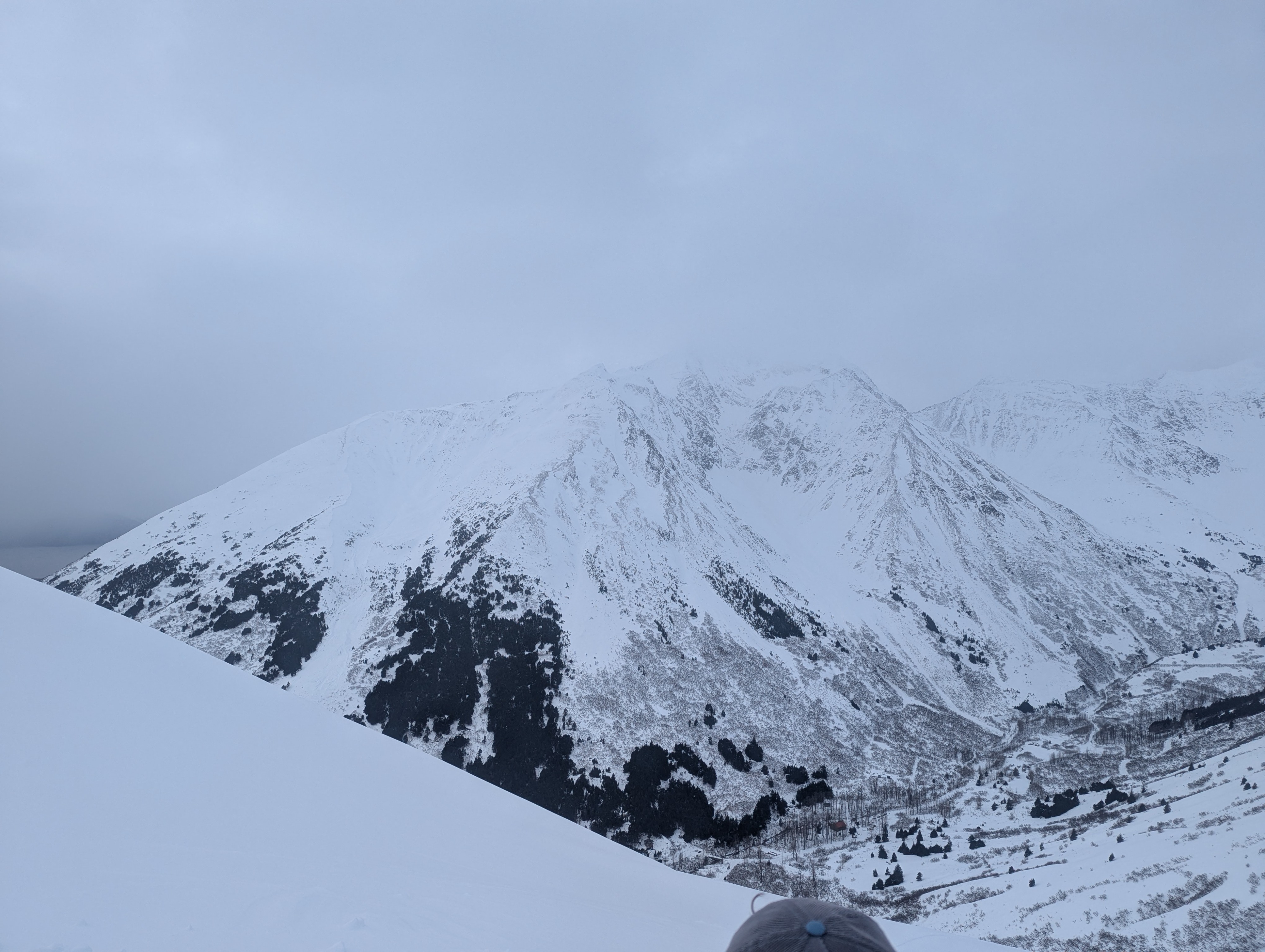
Blowing snow.Weather
- Cloud Cover
- broken
- Wind Loading
- light
- Rain Elevation
- 2000
- Recent Snowfall
- 10
The day started with overcast skies and became broken later in the day. Pulses of light precipitation with no real accumulation. Winds were light with occasional gusts that moved snow around and made plumes on the ridges, but not much transport. Temps were warm at the trailhead and close to 32F by 1800'.