

Quick report
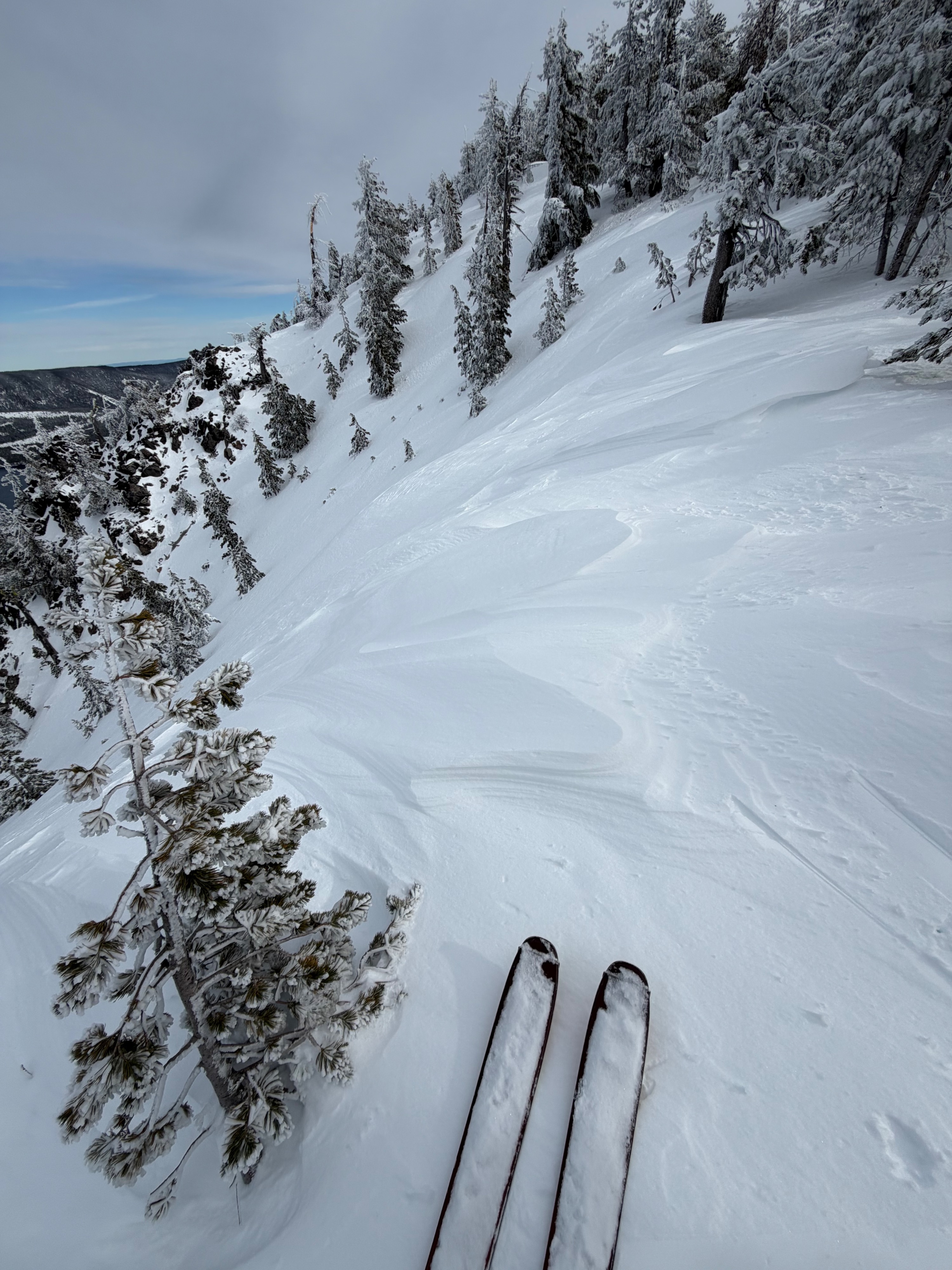
It was a beautiful wintry day out at Paulina today. It was so lovely to be out in the new snow! At lower elevations we received around 7 inches and at mid elevations it was closer to 10 in. The weather is already starting to impact our new snow surface with sun crusts forming on solar aspects and wind drifts/slabs building along ridgelines. There was also surface hoar present in wind protected zones. Skiing on East slopes was a mix of dry open forest turns, with occasional sun crusts and icy tree bombs. Shaded North aspects were dry and lovely (but be careful on these slopes with the new snow falling on old facets- see below). West aspects in the open trees were dry and lovely, saw lots of fun snowmobile tracks along my ski.
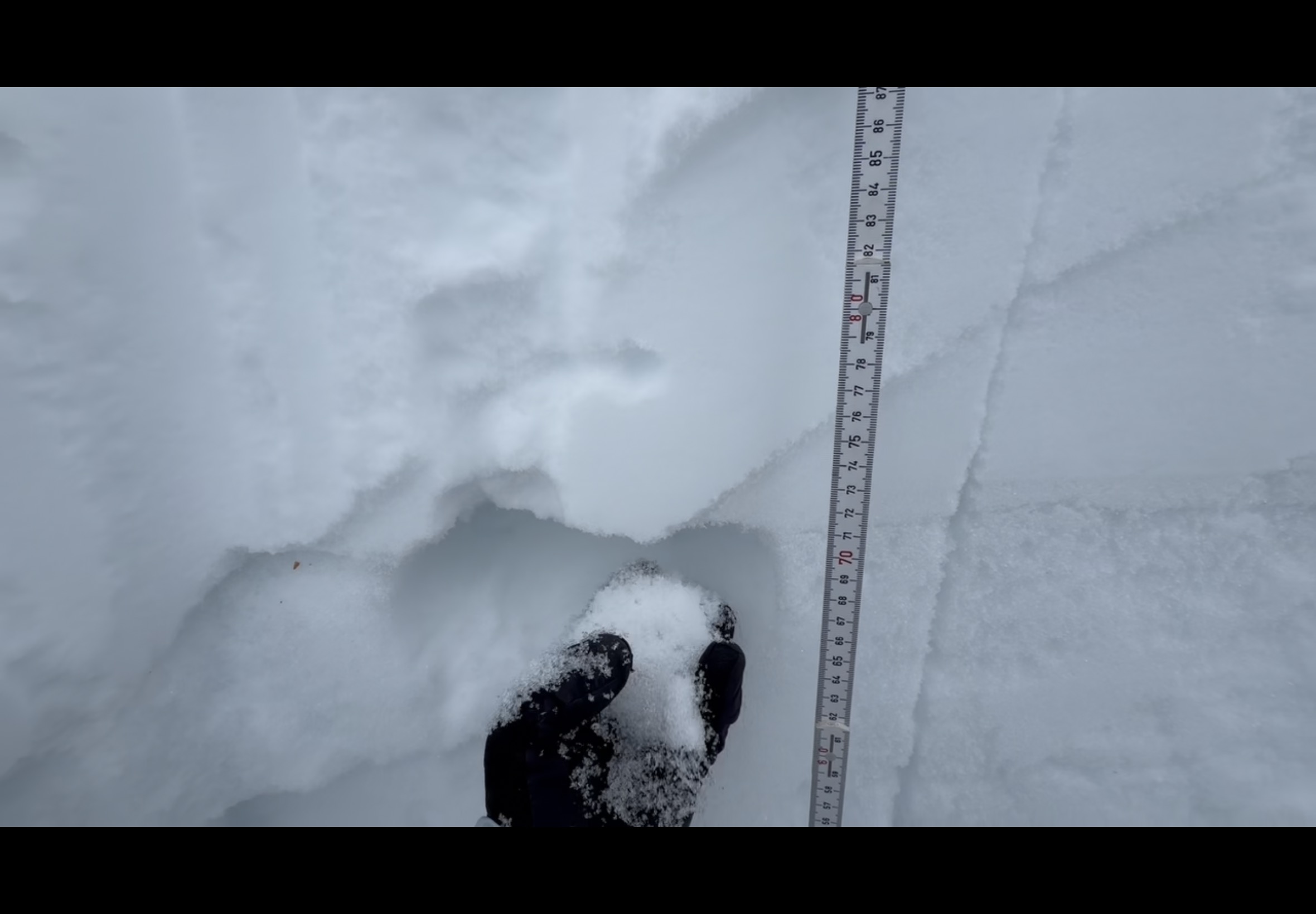
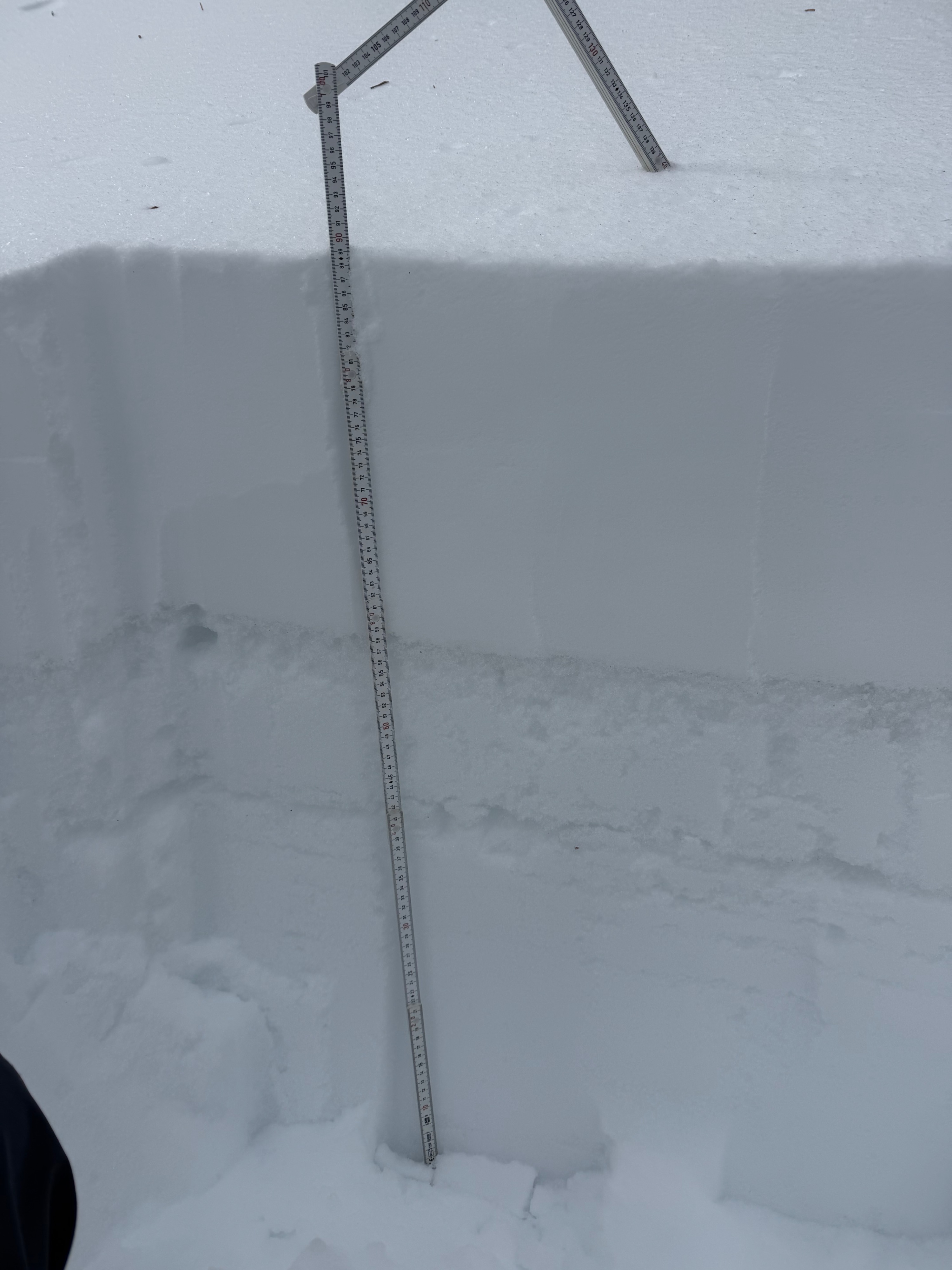
In terms of avalanche activity and snow pack stability, it is a mixed bag with this new snow falling on the variable surfaces we had over the long drought period. On South and East aspects I found the new snow to be bonding fairly well on the previous melt freeze crusts, and only found shallow instabilities in the new snow. On North aspects I found that the new snow is sitting on some pretty weak faceted snow. In the column tests I did on north aspects around 7800' today I mostly found instabilities in the new snow (CT8 down 9cm, CT 10 down 14cm) but also got some results on the faceted layer (CT16 down 22, CT20 down 29cm). When I followed up these tests with an extended column test I did not observe any propagation (ECTN at the faceted layer). This is telling me that there are some instabilities between the new snow and the old facets, but that currently it seems like the new snow layer isn't cohesive enough yet to create a significant slab avalanche problem. It is important we continue to keep an eye on this layer as the new snow condenses with time/warming and we get new loading with future storms.