
Quick report
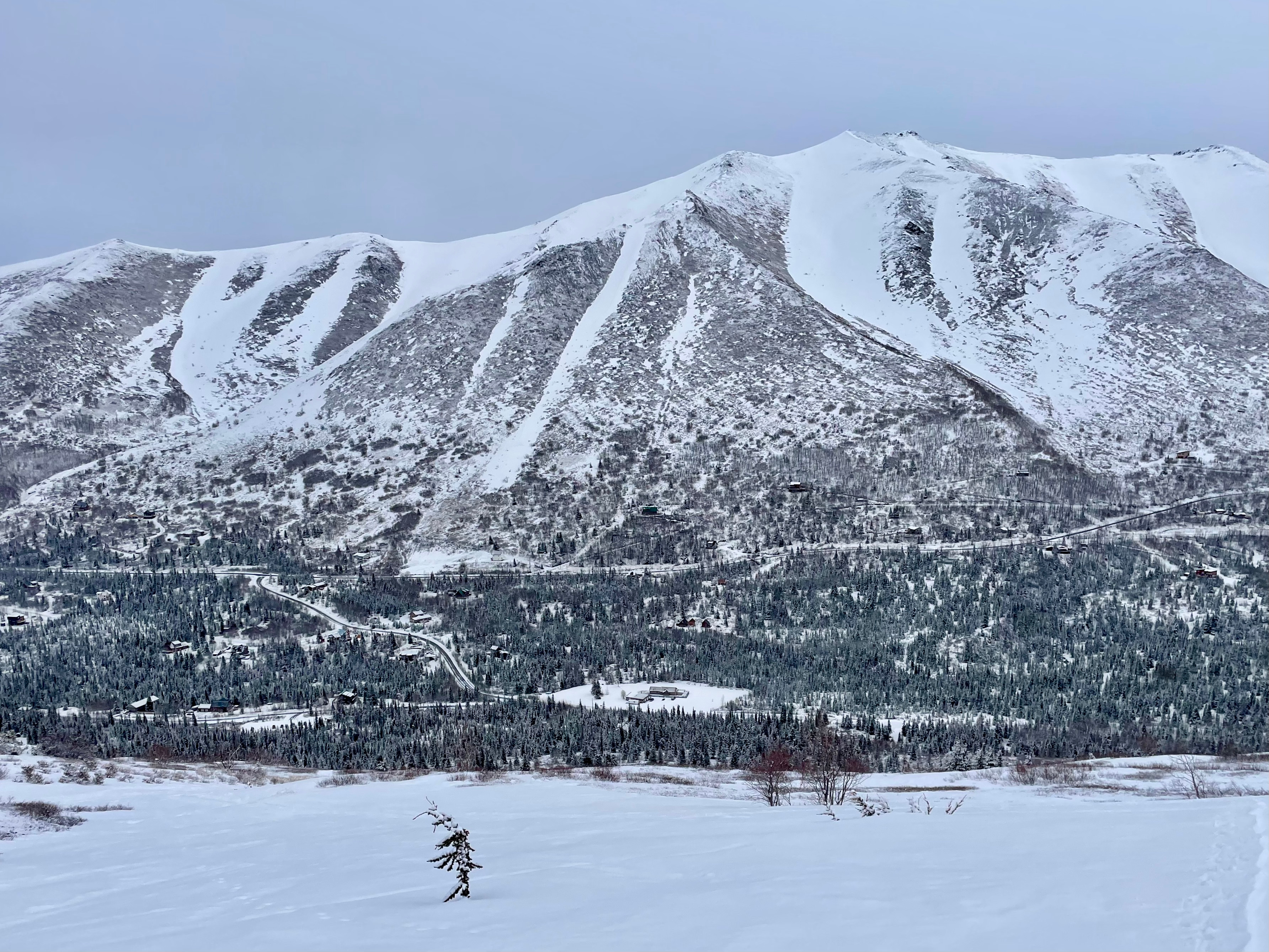
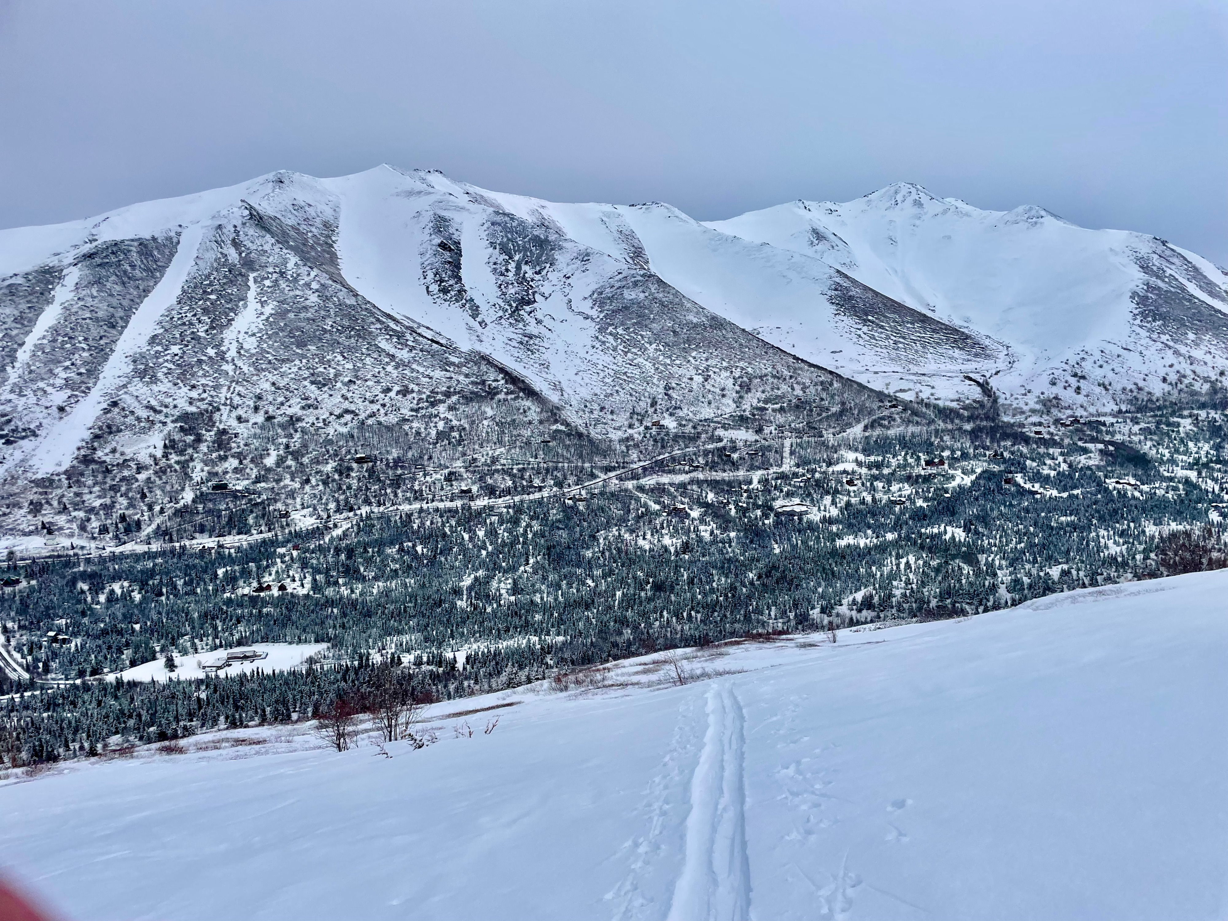
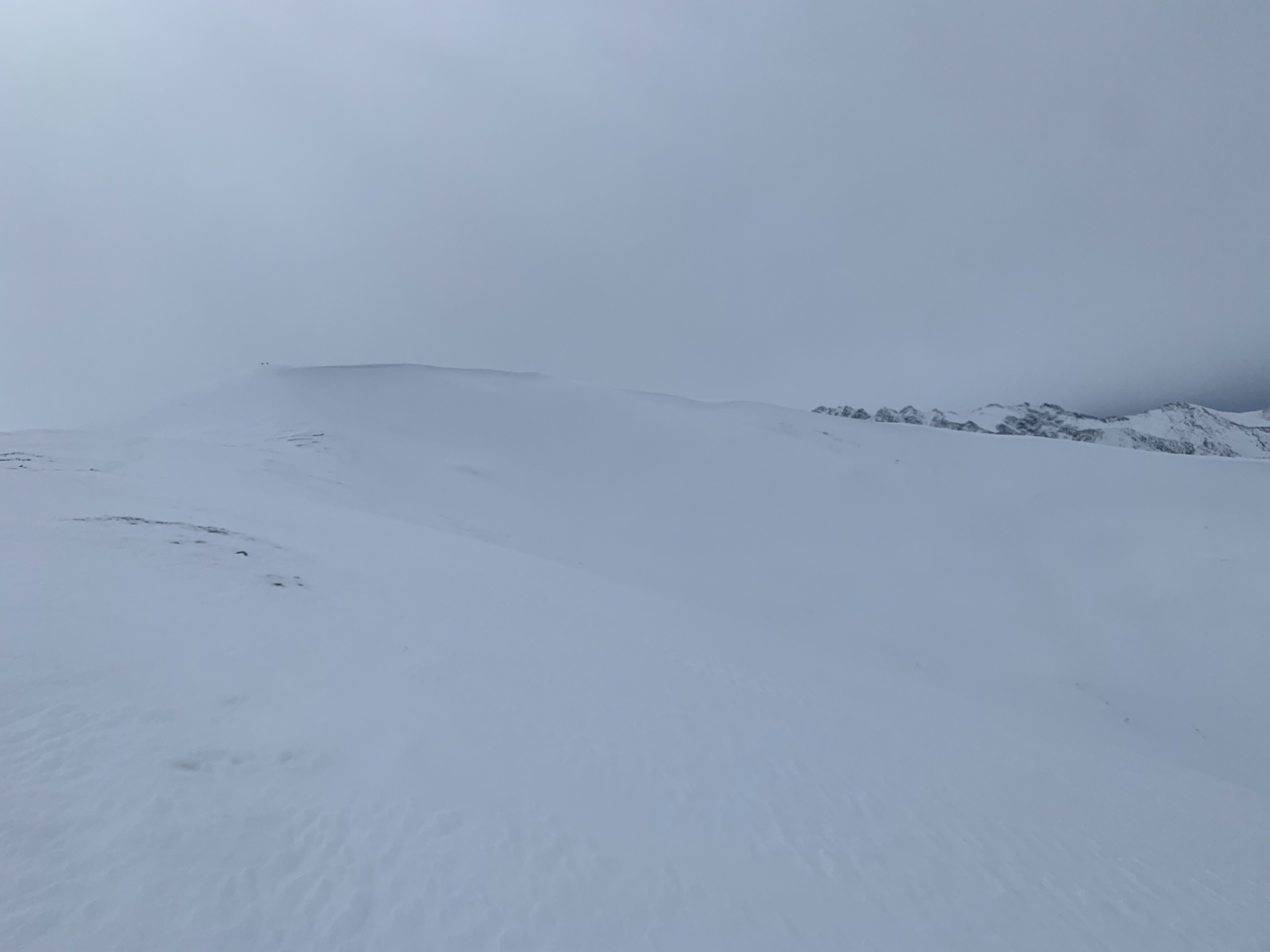
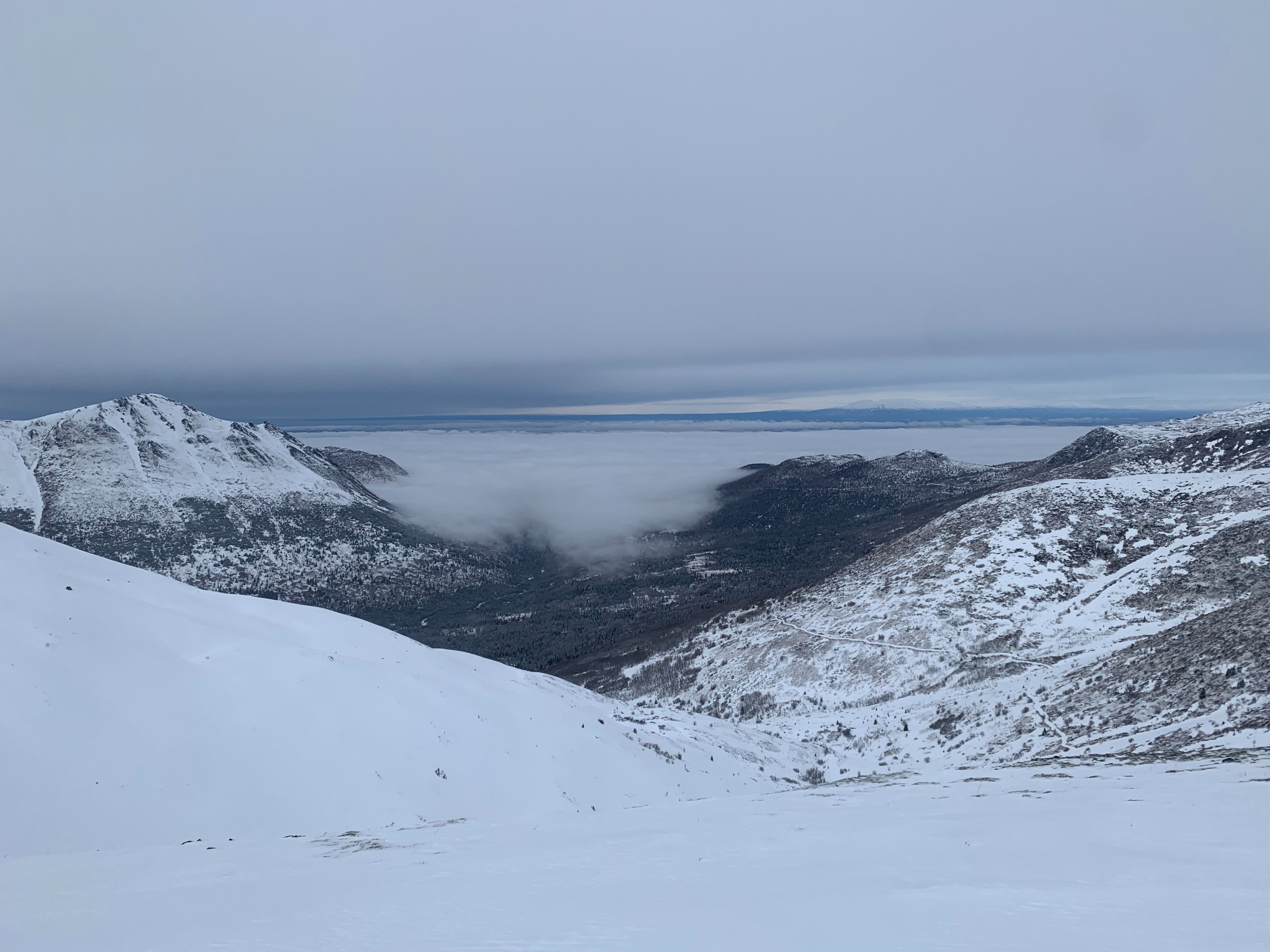
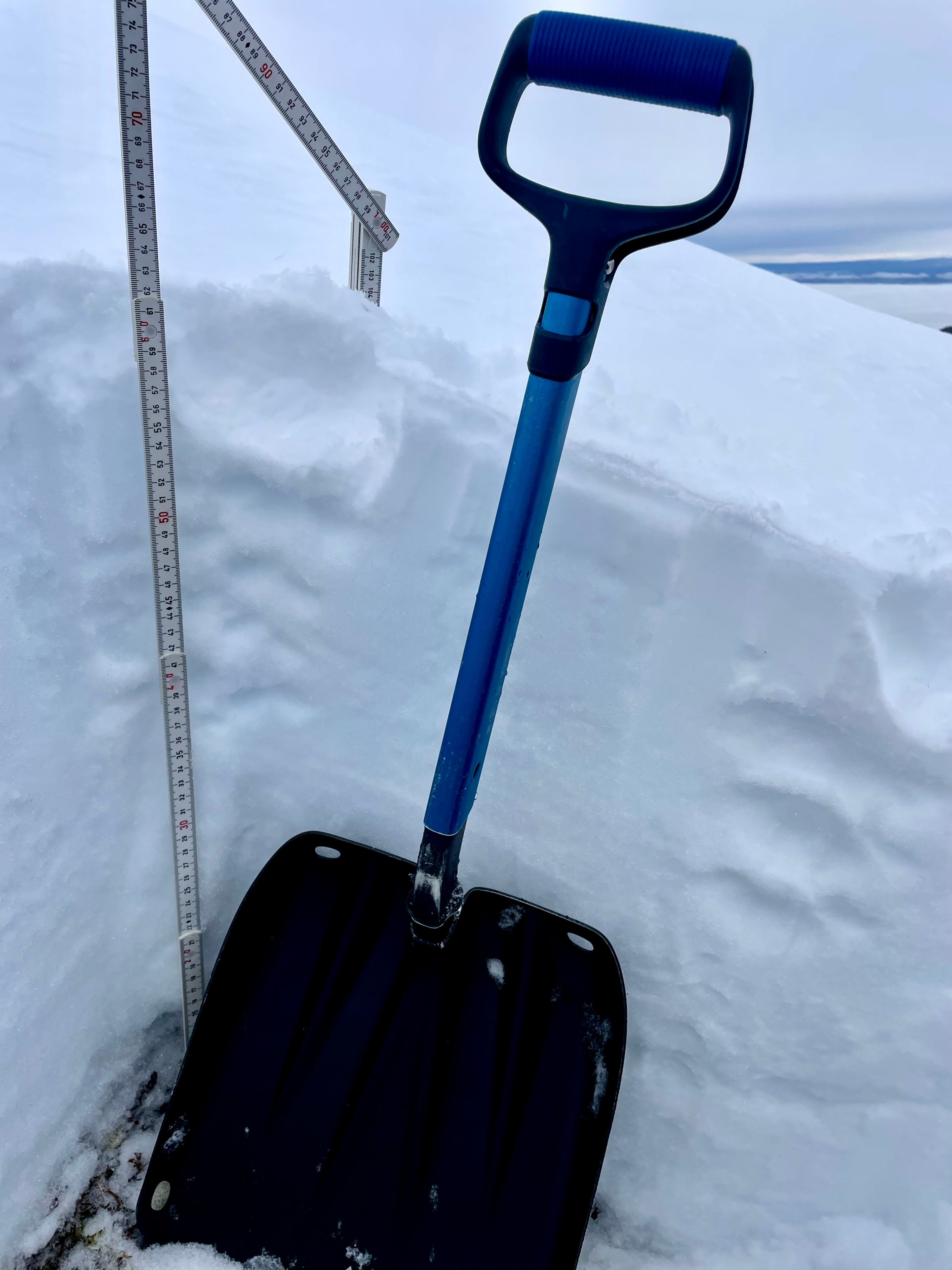
Toured up to North Bowl to see what the recent storm had given us and to assess the interface of the new snow and warming/sun crusts from the false spring weather the past few weeks. We found 4 to 6" of new, low density snow sitting on top of firm icy surfaces throughout the day. In a pit at 3800' on a north aspect, we found poor snowpack structure yet no concerning instability test results. Another pulse of snow and wind moved in at around 2pm with steady snowfall and moderate westerly winds. Skiing was "not bad for what we've got" as the dust on crust conditions made for a fun but variable ski.
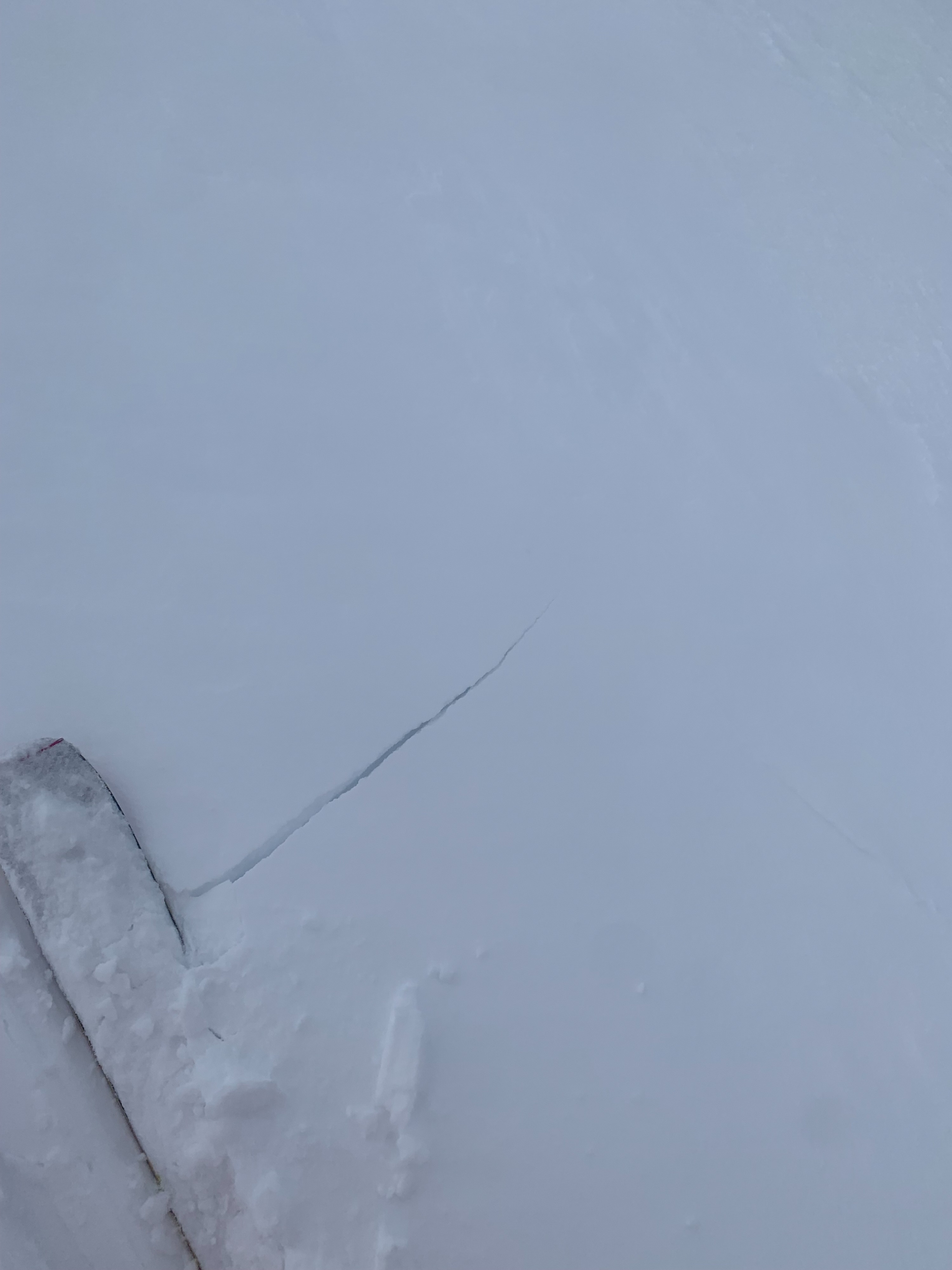
One small shooting crack in upper elevation northerly terrain where new snow had formed a 8" deep soft slab. No other instabilities observed.Weather
- Cloud Cover
- overcast
- Wind Loading
- light
- Recent Snowfall
- 4-6"
- Snow Avail For Transport
- small smounts
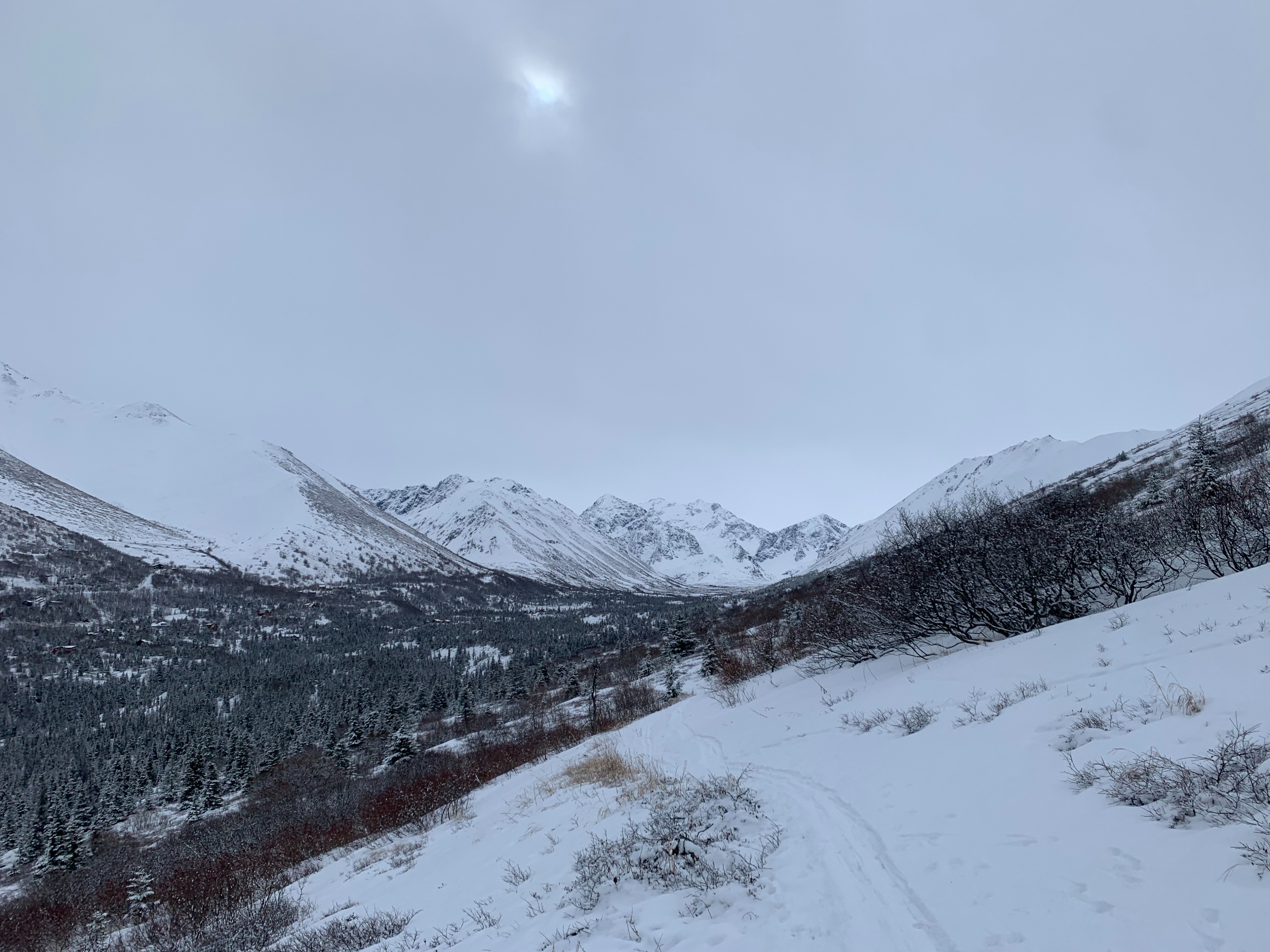
Low fog and lowering cloud ceiling throughout the day. Snowfall picked back up around 2pm with moderate westerly winds.
Snowpack
Overall we found 4 to 6" of new, low density snow on top of the old firm icy surfaces everywhere we traveled. Dug a quick pit at 3800' on a N aspect. Found poor snowpack structure but no concerning instability test results (ECTX). There was a thin warming crust below the new snow but below that was a fully winter snowpack with the depth hoar and facets we have been tracking all season. Near ridgetops we found a variable thin wind slab that had formed with the new snow where we got one ~5' long shooting crack.