
Quick report
Toured up to 11,000' via Garnet Canyon. We observed a variety of snow surfaces which is typical for this time of year. Surfaces on sheltered north facing slopes were still dry down to 7,500’. North aspects were wind affected to varying degrees above 9,000’ as a result of the recent northeast winds. This ranged from a light wind texture that was soft and edge-able to stiffer wind board. Any old wind slabs lurking in steep terrain at the upper elevations were isolated and appeared to be unreactive to humans.
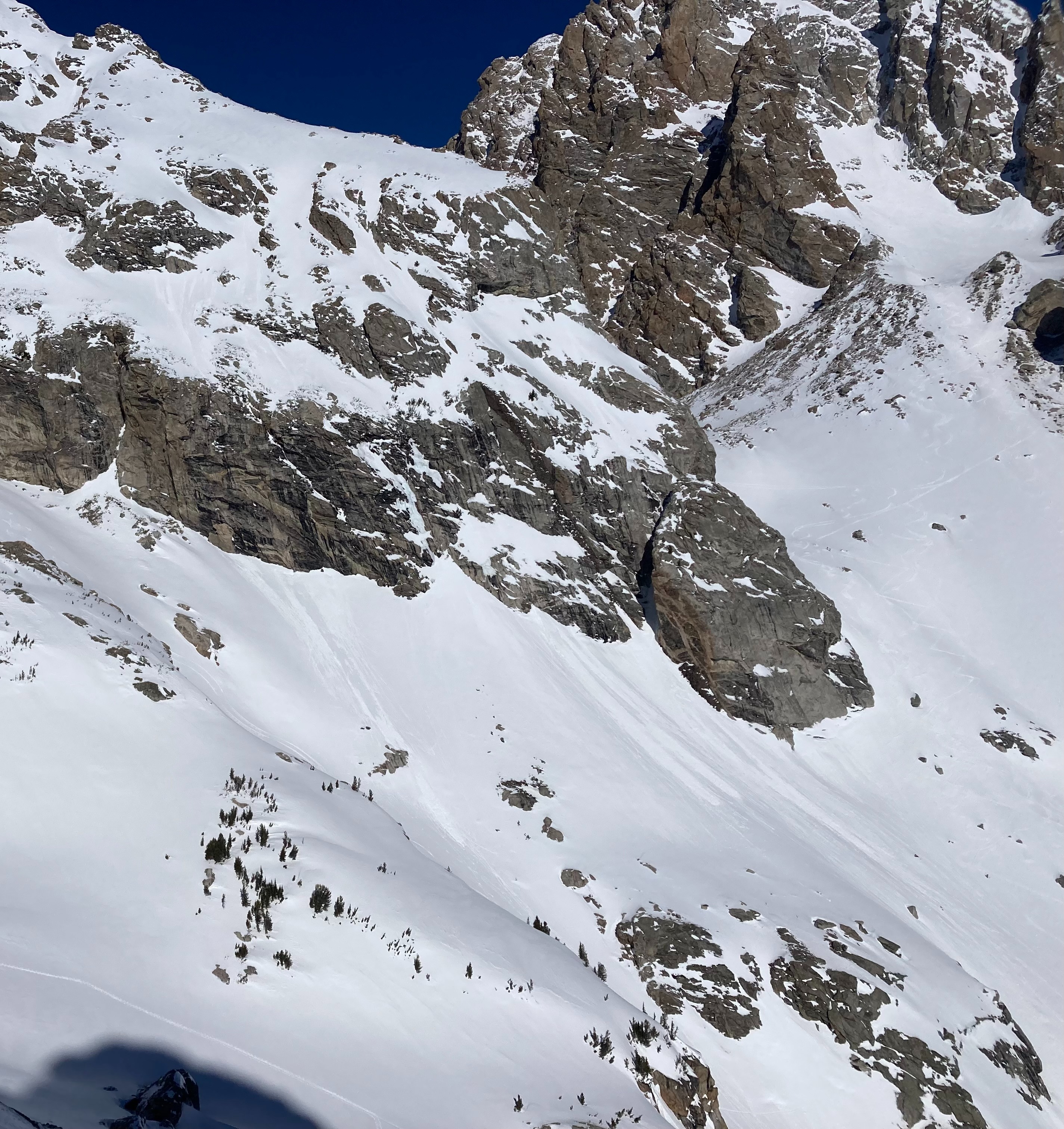
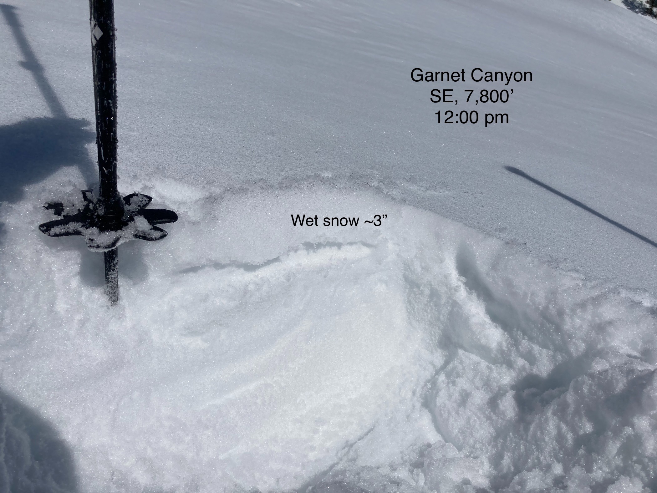
Crusts of varying thickness were present on southerly aspects up to 11,000’. East facing surfaces began to soften around 10 am. By noon, the top 3-4” of the snow surface had become wet on a southeast facing slope at 7,800’. Wet loose activity (<D1) that occurred yesterday afternoon (3/15) was small and limited to steep southerly slopes near rocks and trees. I observed a recent large avalanche triggered by cornice fall east of Mount Meek from a high point in the canyon.
Conditions change fast in the spring and will probably be different tomorrow than what’s written here. Upper elevation temperatures are climbing above freezing as I write this observation. Wet loose activity will most likely be larger and more widespread this afternoon. Day time highs are only supposed to increase during the next few days and winds are expected to be light. Early starts and monitoring warming snow surfaces will be essential in the coming days.
Weather
- Air Temp
- 30
- Cloud Cover
- clear
Spring sunshine continues. Mild temps at the mid and low elevations. Upper elevations still felt cool with a light wind out of the northeast.