
Quick report
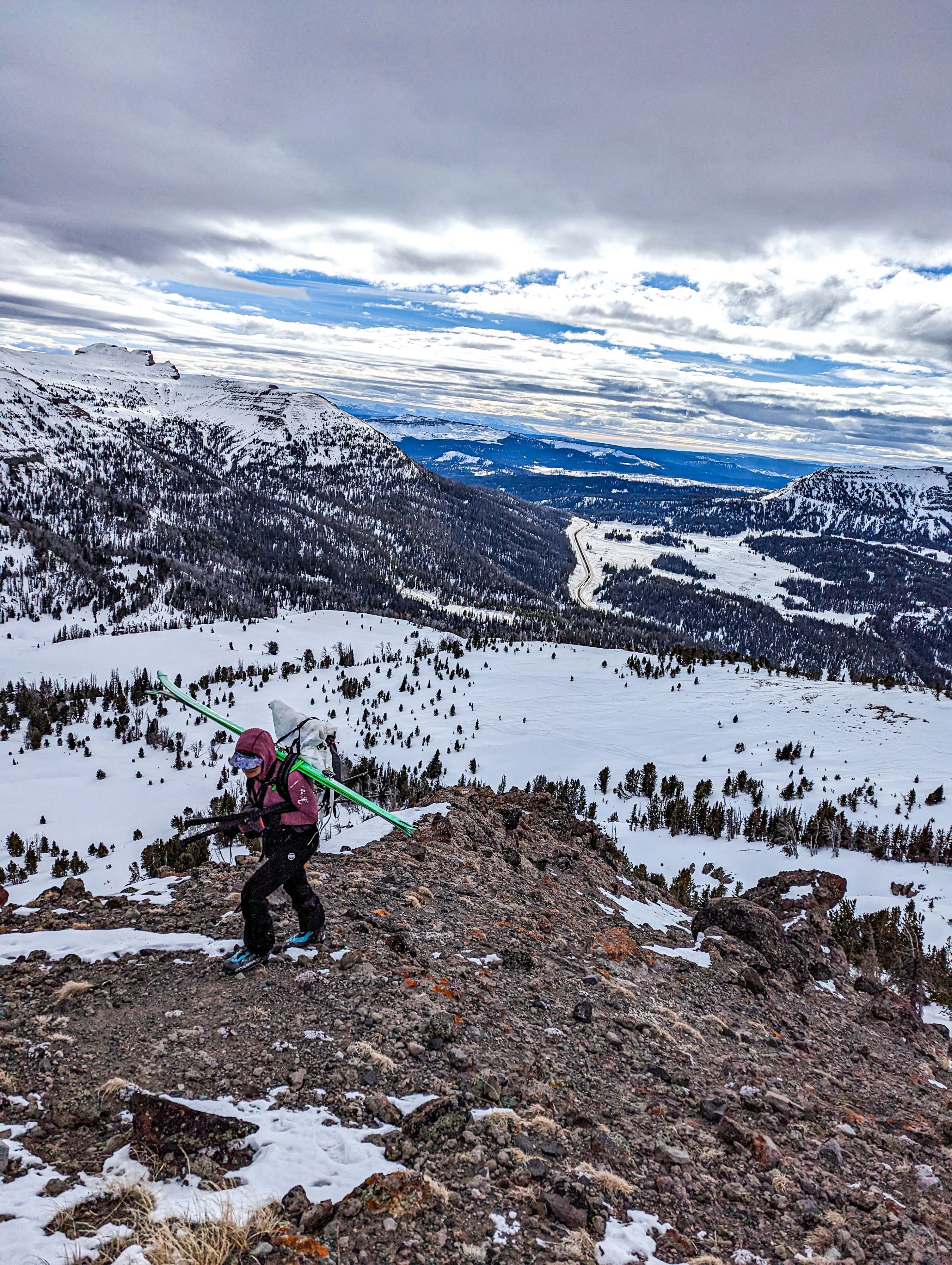
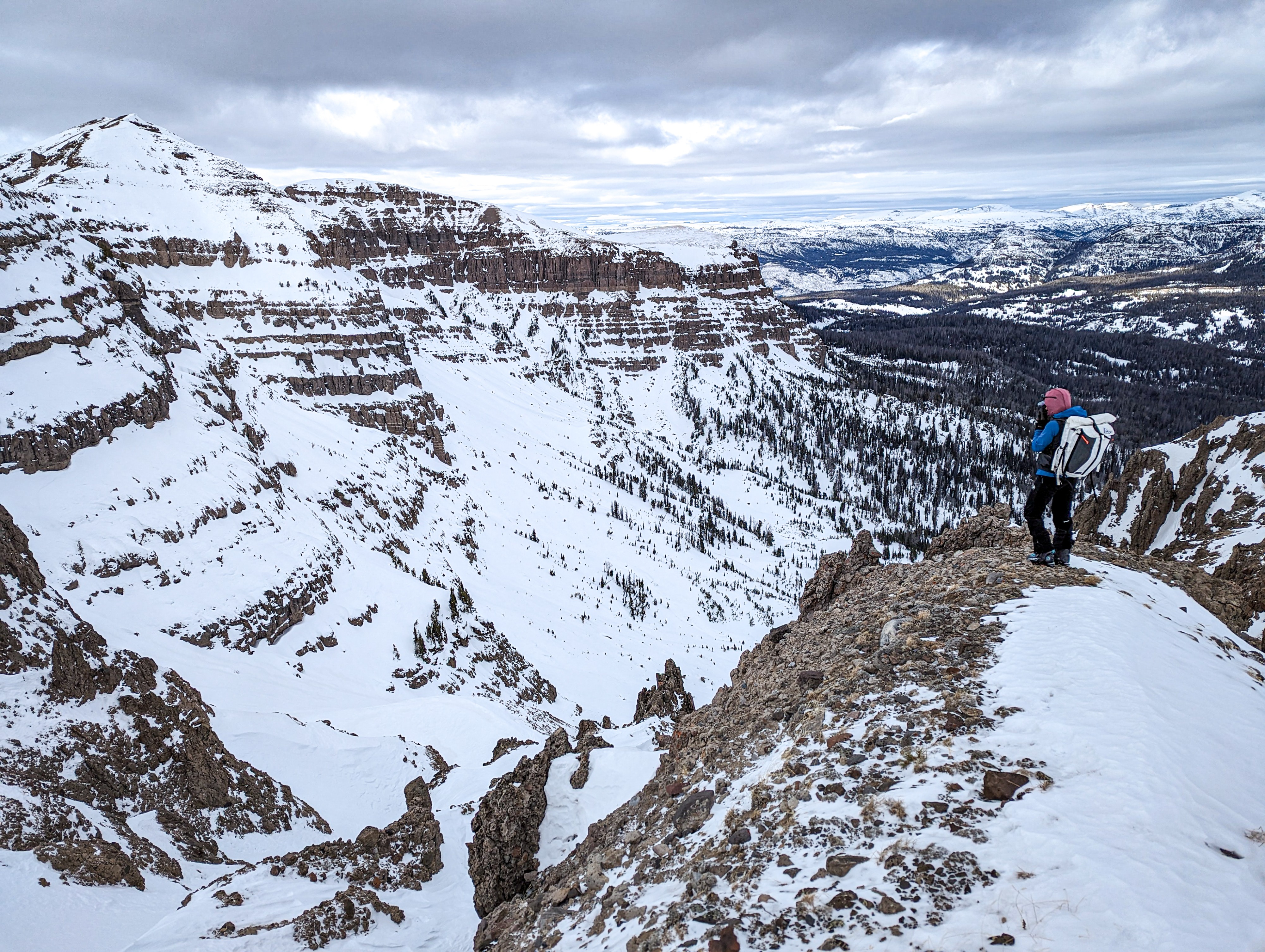
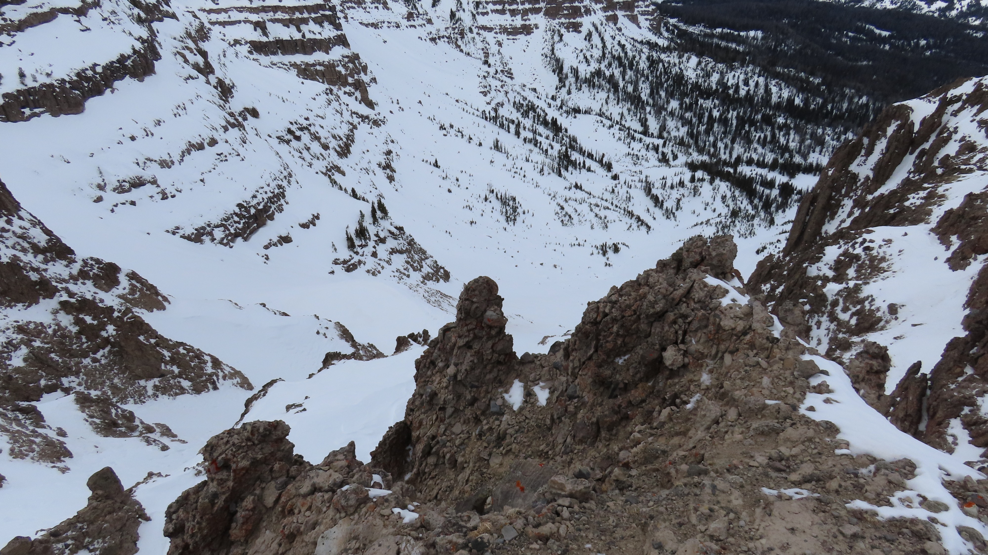
Toured up to Breccia today to peak at upper elevations at Togotwee and what's hanging out on some north aspects in the alpine. Surface conditions included near-surface facets and surface hoar up to 9,500 feet; locations above this elevation lacked surface hoar, but the requisite surface facet mix was present across the board. My impression is that the middle elevation band will be more sensitive with the next storm due to shallower and continuous weak snow in this elevation band. The height of the snowpack (HS) averaged from 1 foot to 3+ feet and was variable due to early season weather and wind here. Moving forward, it will be interesting to predict instabilities here, as the snowpack is relatively weak overall in the middle elevations where it exists. In the upper elevations, it is pretty variable in depth. It was above freezing to 10,000 feet today, and the surface conditions bordered on moist, which I think will bode well in the longer term for bonding and buffering some of the clear weather day and faceting/surface hoar growth we've been experiencing.
Weather
- Air Temp
- 32
- Cloud Cover
- broken
- Wind Loading
- previous
- Recent Snowfall
- Nil
- Snow Avail For Transport
- none
Greybird trending clearer in the afternoon; light winds aloft, but predominantly calm.