
Quick report
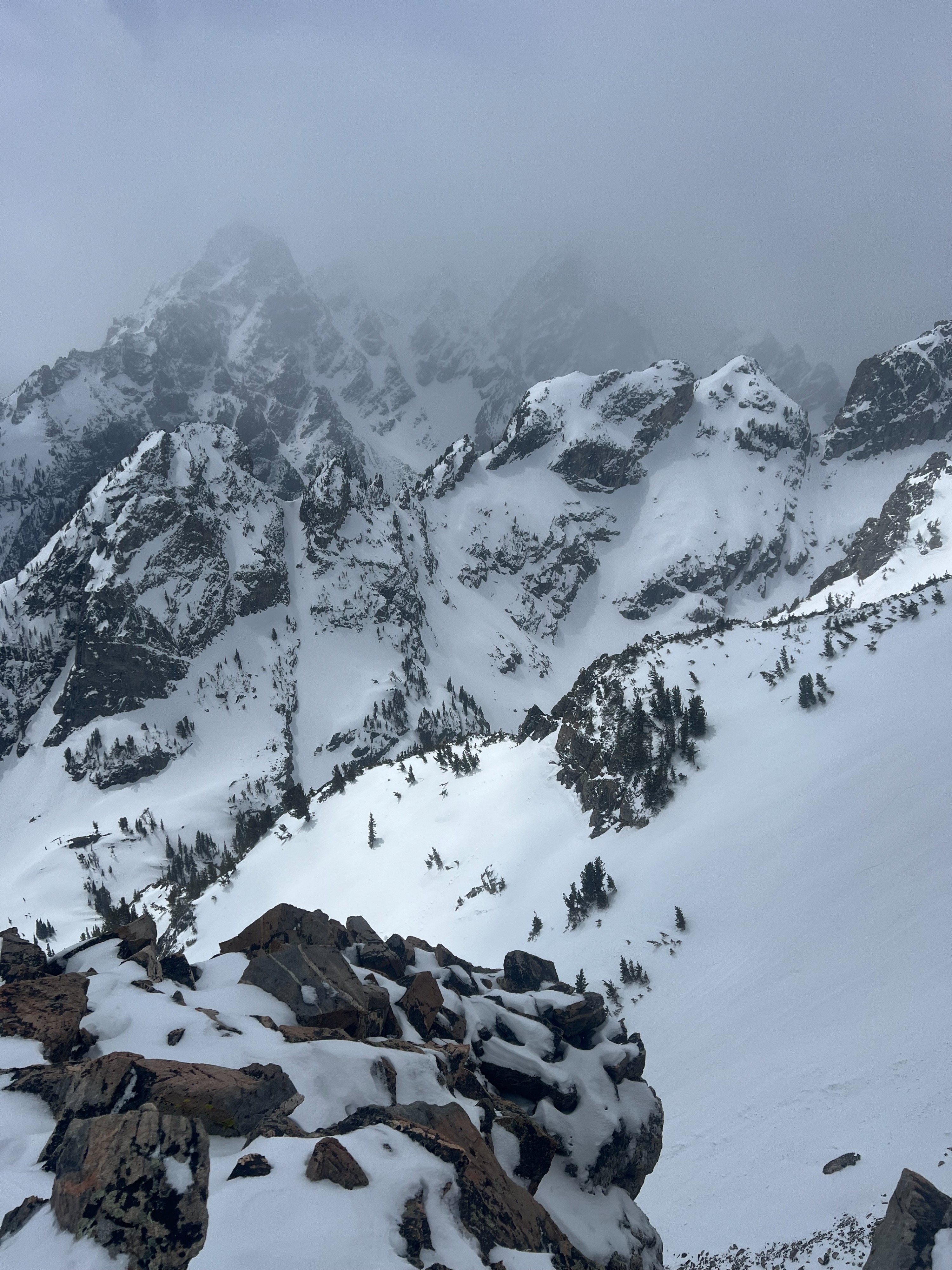
Observed every type of spring conditions out there today: sunshine, rain, snow, crusts, powder, and wind. Snow conditions changed drastically at around 10,000'. Below 10k the upper snowpack remains fairly isothermal as temps have stayed fairly warm in combination with insulating cloud cover at night. Bootpack penetration was knee deep in some spots even up to 9,000'. Snow became consistently dry and supportable around 10,000'. Wind affect is still the main factor in recent snow depth as winds have veered (NE-E-SW) over the last three days with predominant S/SW wind over the last 24 hours hovering around the 20s at JHMR Summer Summit weather station. Did not observe any recent signs of instability even in wind drifted areas. Observed visibile wind transport above 10,000'. Older wind slabs are becoming stubborn but continued sustained wind will form fresh slabs (especially above the forecast boundary). Rain level appeared to be between 7-8,000' today. Recent snow was becoming moist and sloughed easier around 9,000' by noon due to warm ambient air temperature even on northerly aspects. Lower elevation valley bottom is melting fast but still accessible for touring. Lower to middle elevation south aspects are melting down to bare ground on southerly slopes. Sky cover started scattered becoming broken throughout the day with more cloud cover in the high peaks.