
Quick report
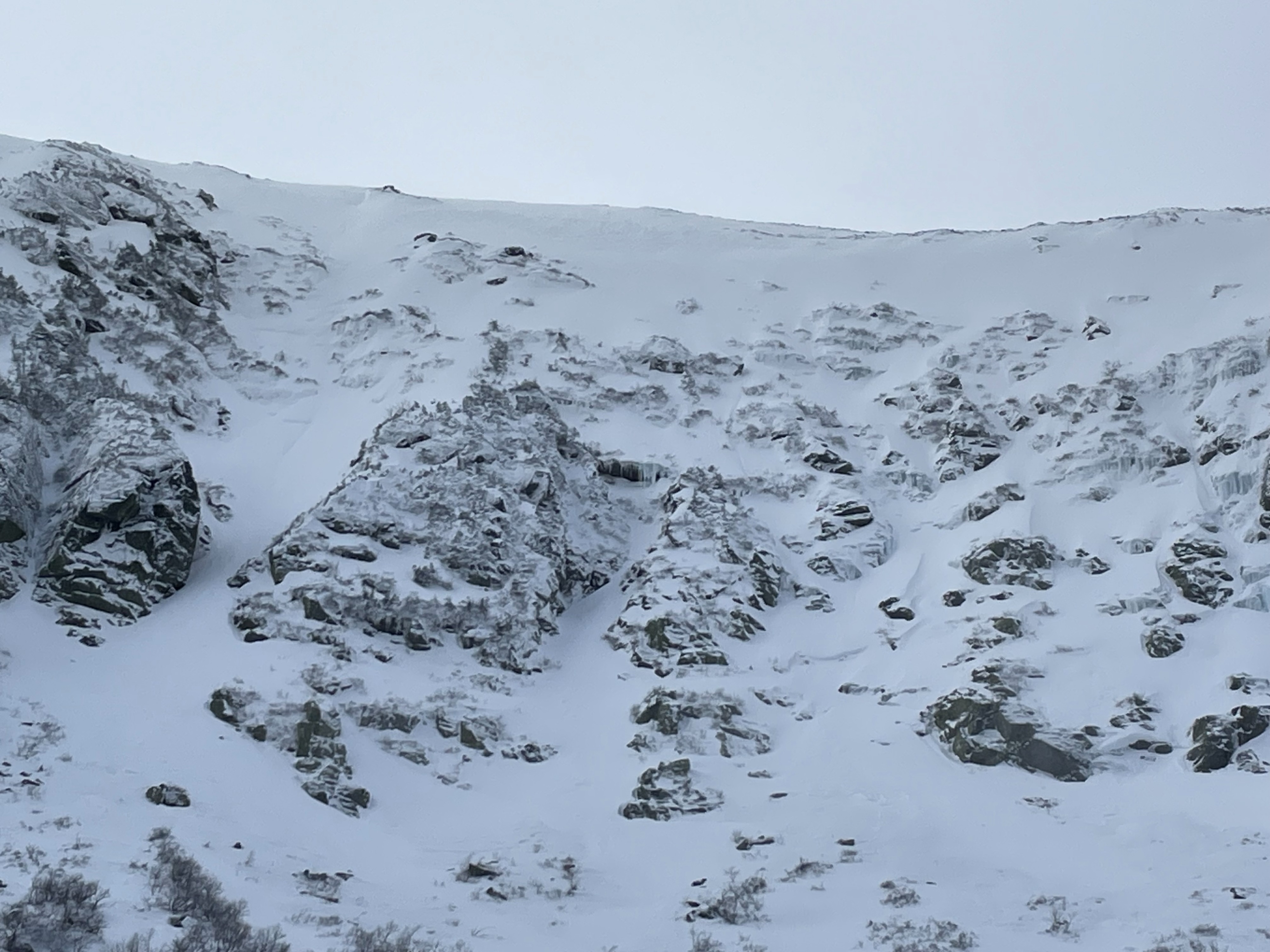
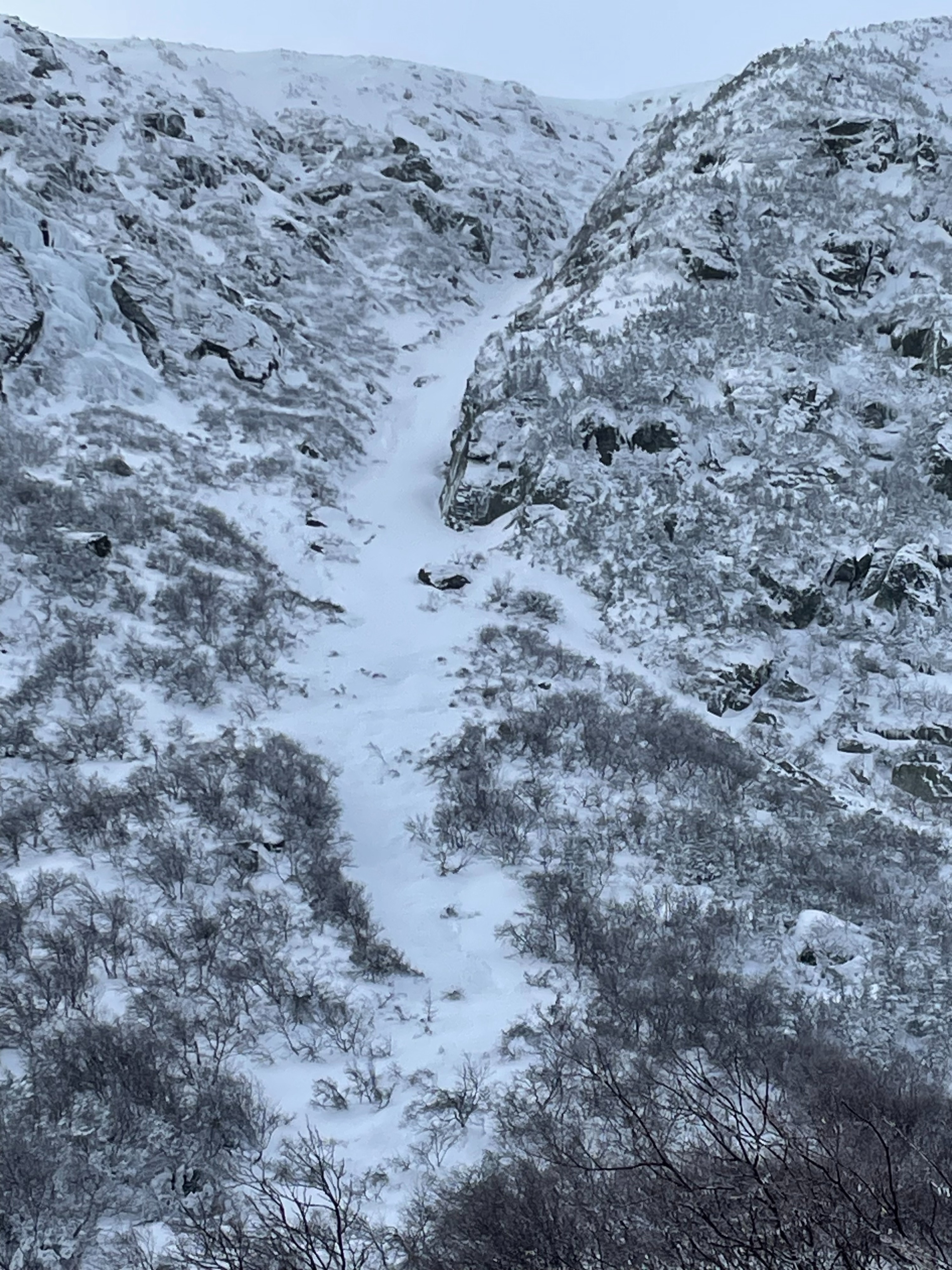
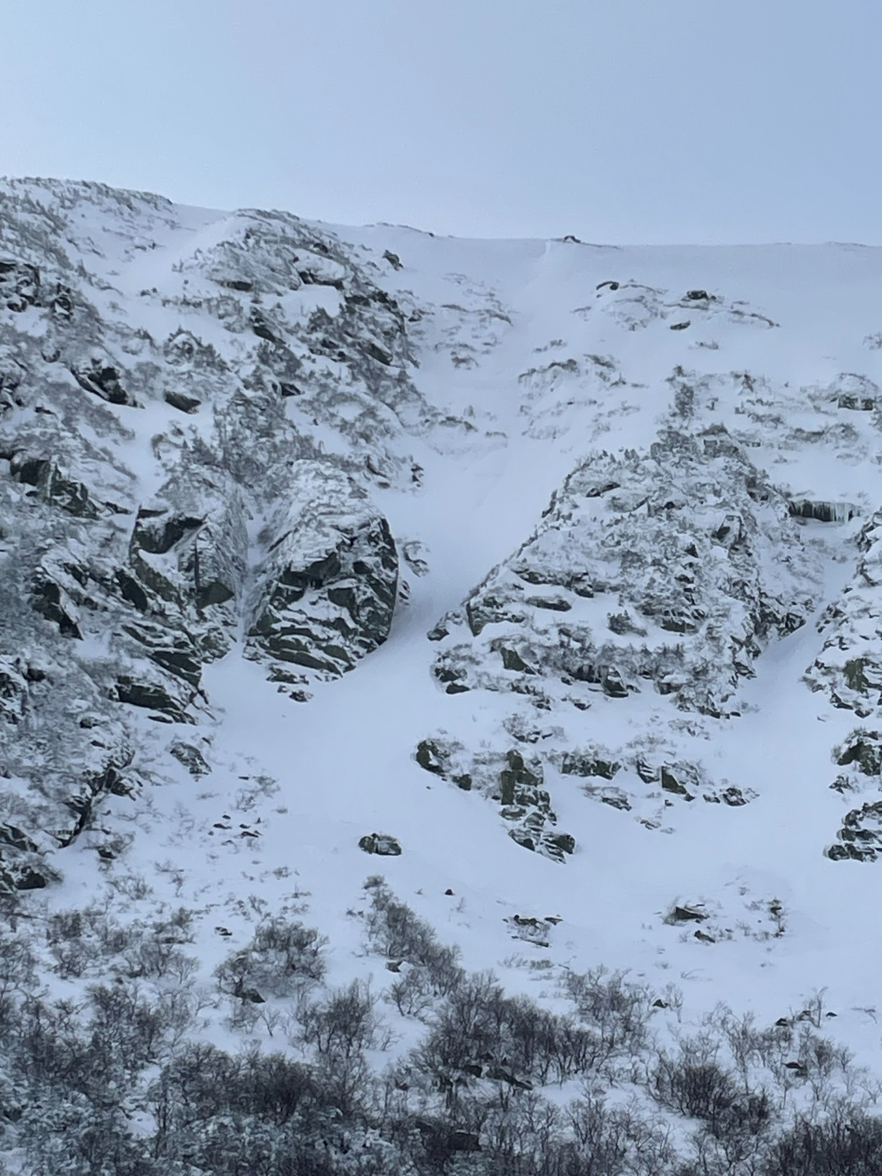
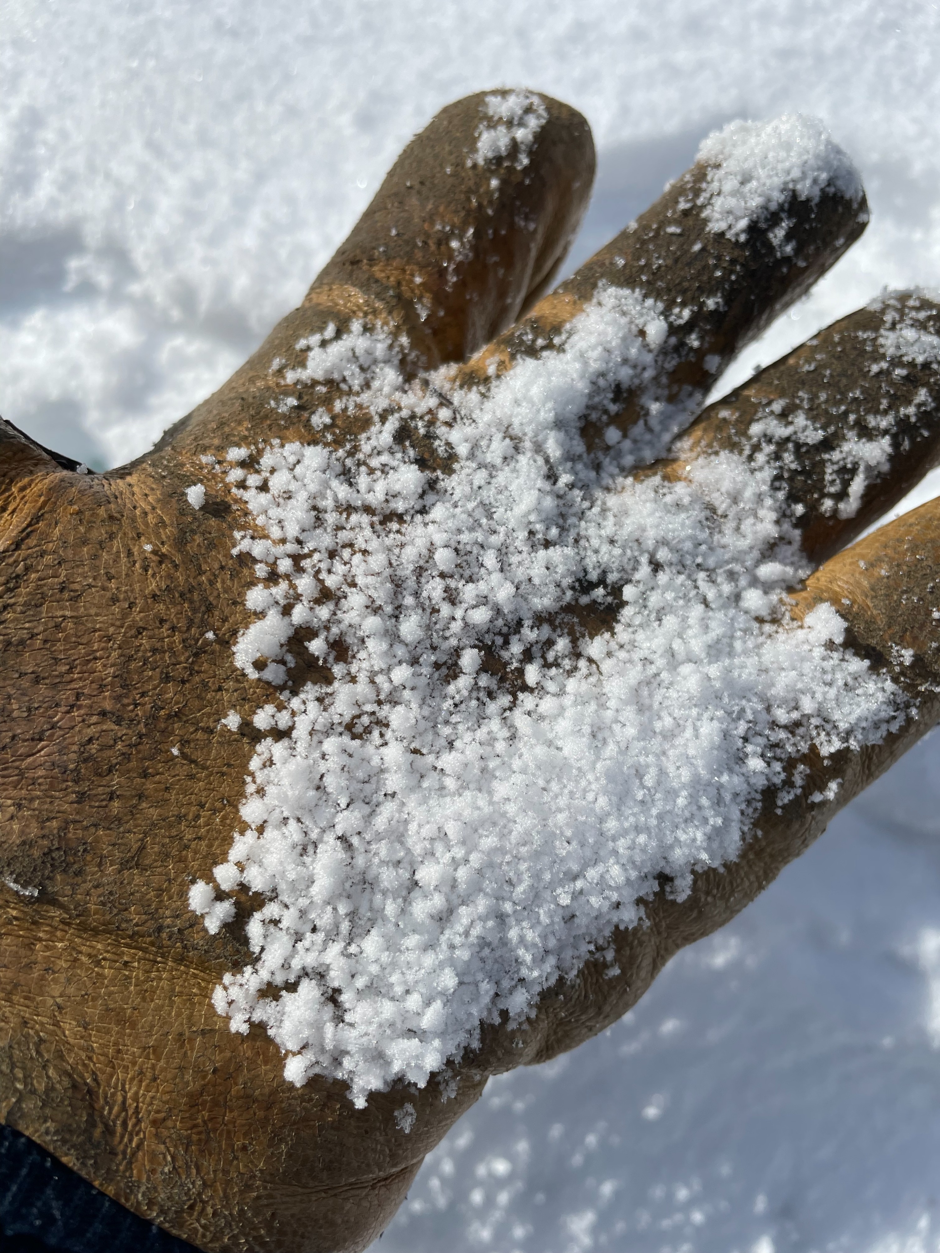
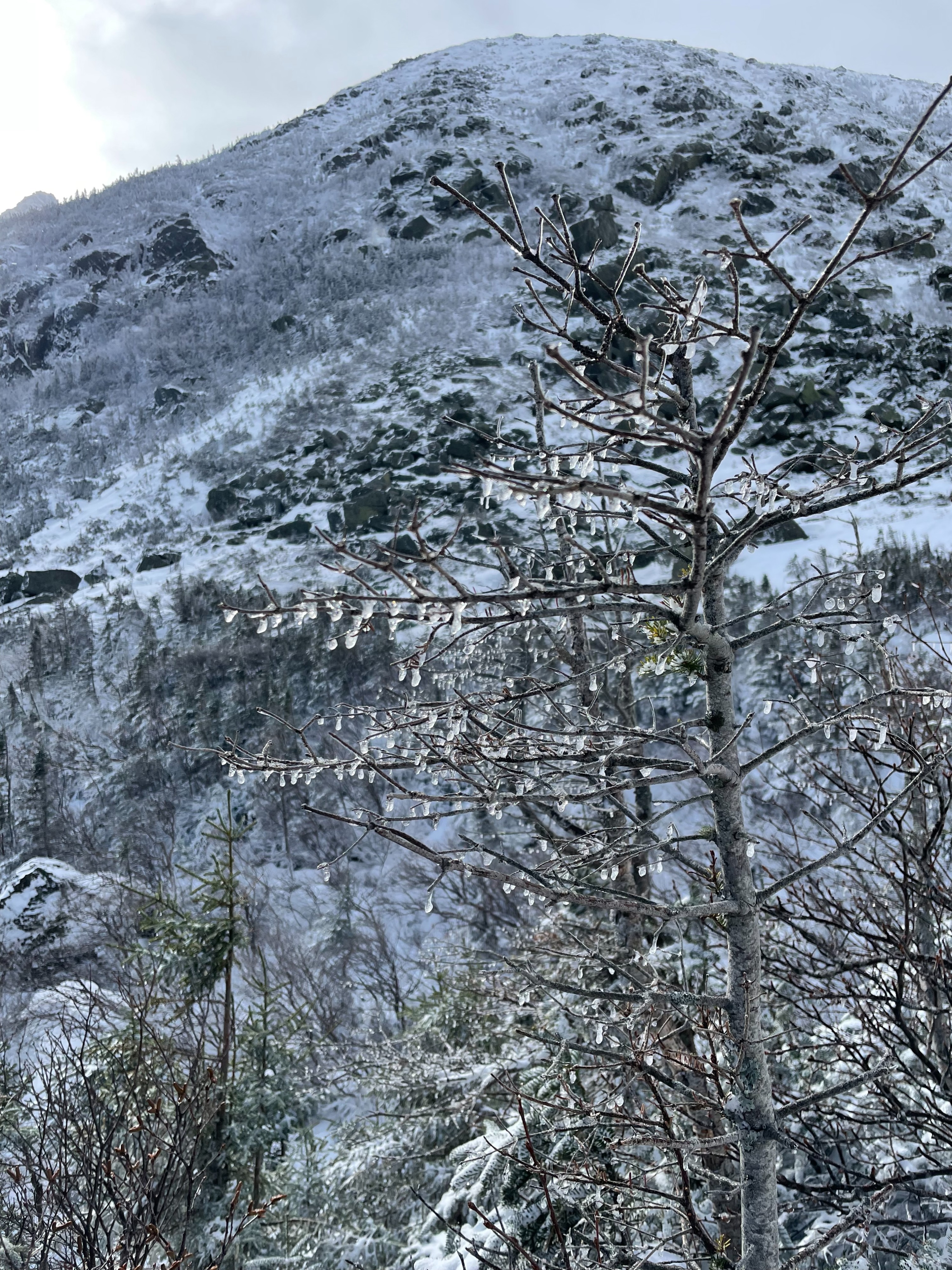
Tuesday morning I hiked up to Levy rock in the bottom of Tuckerman Ravine to see how things had fared after the storm Sunday-Monday. Skies were obscured when I reached the bowl, and winds were from the west at 10-12 mph with the occasional gust of 20 mph. The temperature at 11:05 was 17 degree F with no precipitation. Old crown lines could be seen in Chute and the Headwall area from last week. Overall the terrain lacked connectivity between snowfields, and no new avalanche debris was observed. Evidence of a freezing rain event was present around 3800’ and could have been from the transition of rain to snow Sunday into Monday. There was approximately 2 inches of new snow from last night along with some graupel that was being actively transported into wind drifts on east aspects and lee features. Pockets of wind slab could be seen in steep, middle elevation slopes along with wind textured snow on the upper levels of the middle elevation terrain. I had anywhere between 5 cm to 16 cm of boot penetration due to the wind drifted snow. In hand sheer tests of the wind drifts there were cohesive slabs of 5-8 cm in thickness, and these were failing on a weak snow interface, not an ice lens as I had expected. No compression tests were performed because of the extensive underbrush within the snowpack at the bottom of the ravine. Overall there was considerable spatial variability in the snowpack because of the rain on Sunday and it being early season. However isolated pockets of wind slabs were found due to the 2 inches of new snow and strong west winds.
Weather
- Air Temp
- 17
- Cloud Cover
- overcast
- Wind Loading
- light
- Recent Snowfall
- None
- Snow Avail For Transport
- small smounts
Skies were broken lower in elevation but became overcast when I got to Hermit Lake. Visibility into the gullies was good while I was there.