
Quick report
Today, focus was set on the Gray Butte area in hopes to observe surface conditions before the new snowfall. I found multiple different surfaces: very firm icy snow, Near-surface facets, and soft solar snow. These surfaces could present bonding issues with tomorrows snowfall. That being said, at this point, its very hard to determine how much of an issue it will actually be. More observations will be needed during tomorrows snowfall. One things for sure, with the new snowfall, avalanche danger will certainly rise.
No signs of instability were observed.Weather
- Air Temp
- 42
- Cloud Cover
- clear
- Wind Loading
- none
- Rain Elevation
- N/A
- Recent Snowfall
- 0
- Snow Avail For Transport
- none
Sunny, clear skies, with no noticeable wind. Temperatures were warm, 42 degrees F at 2 pm.
Snowpack
Three dominant snow surfaces were observed throughout the day:
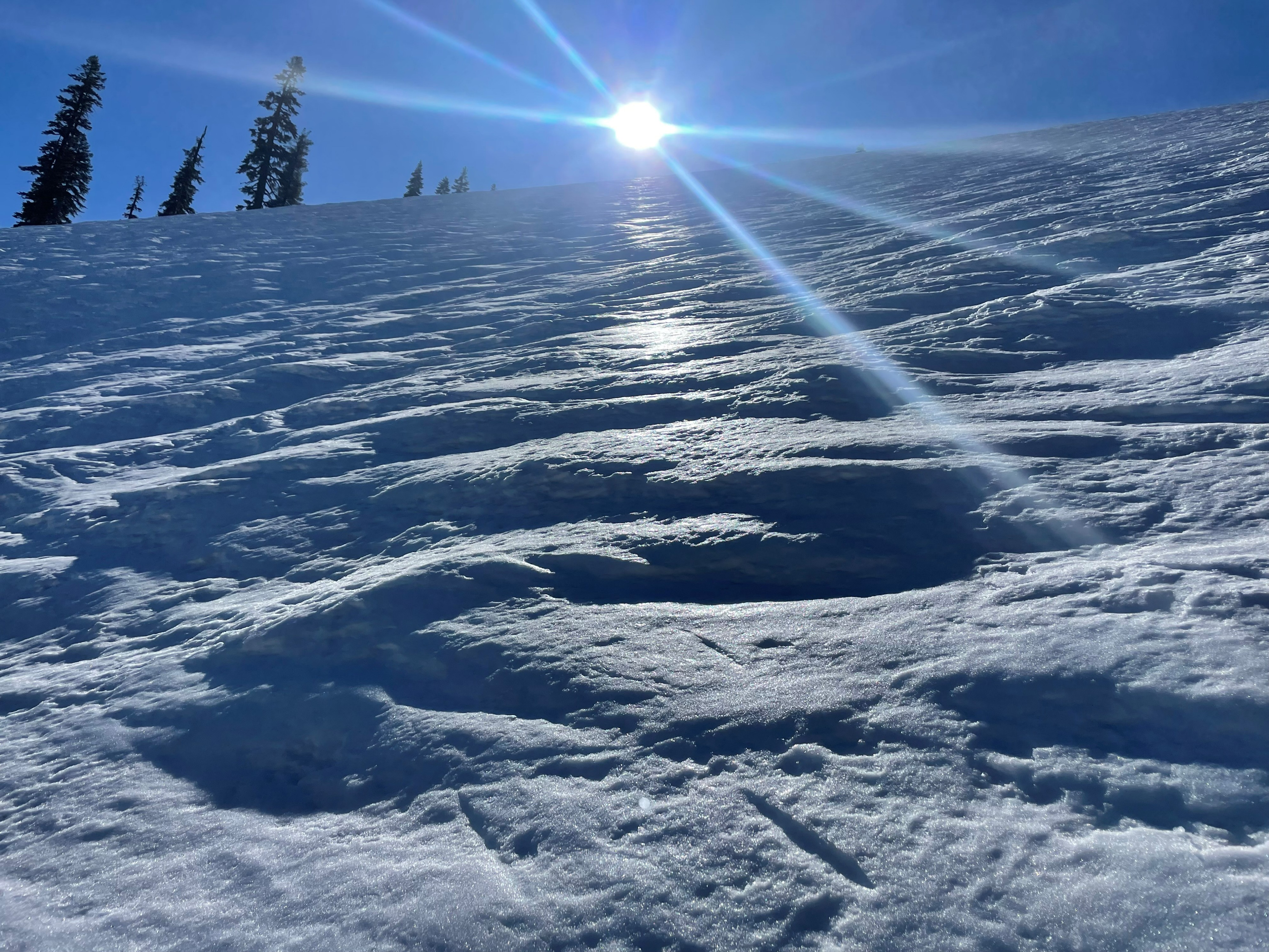
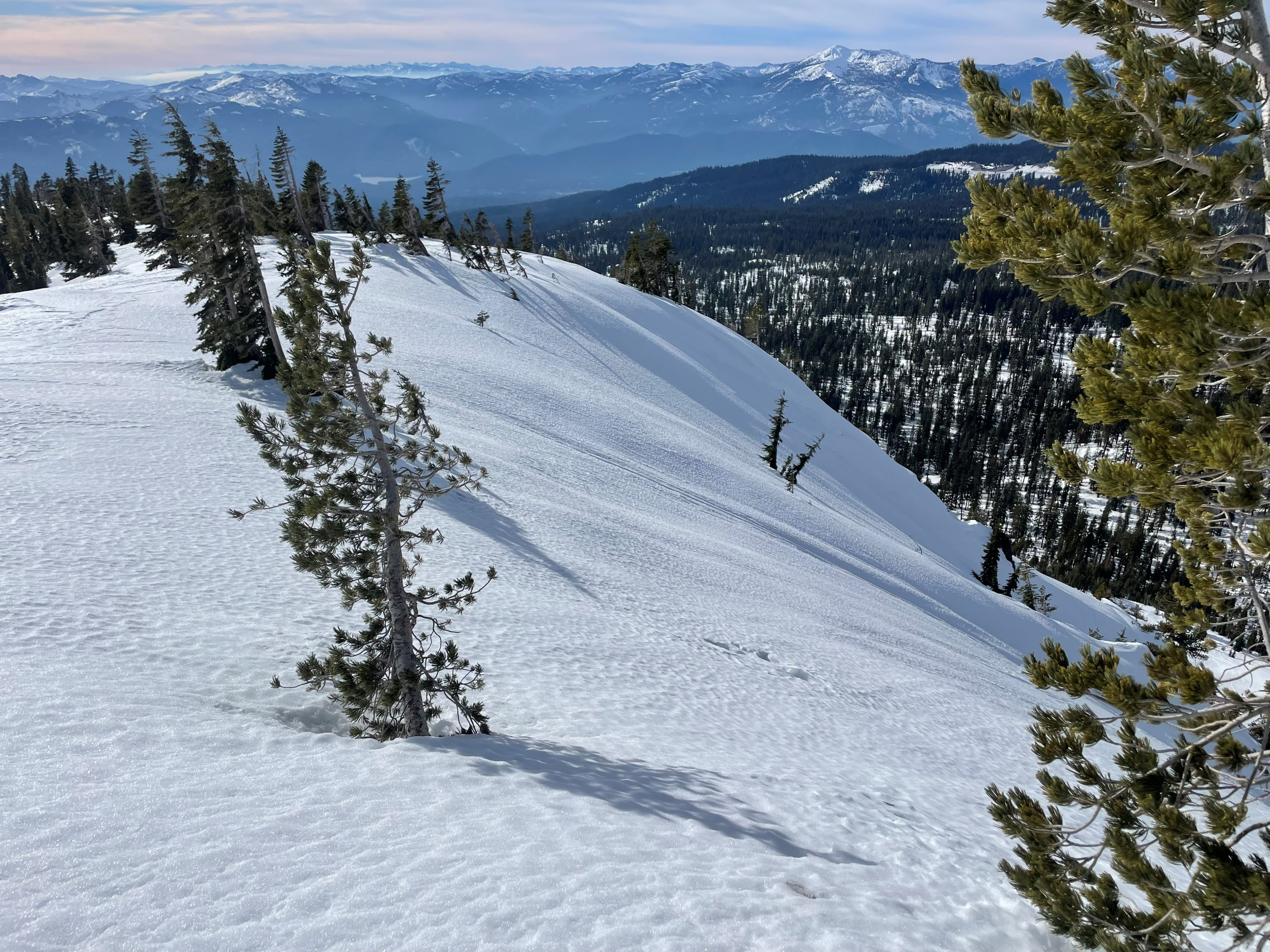
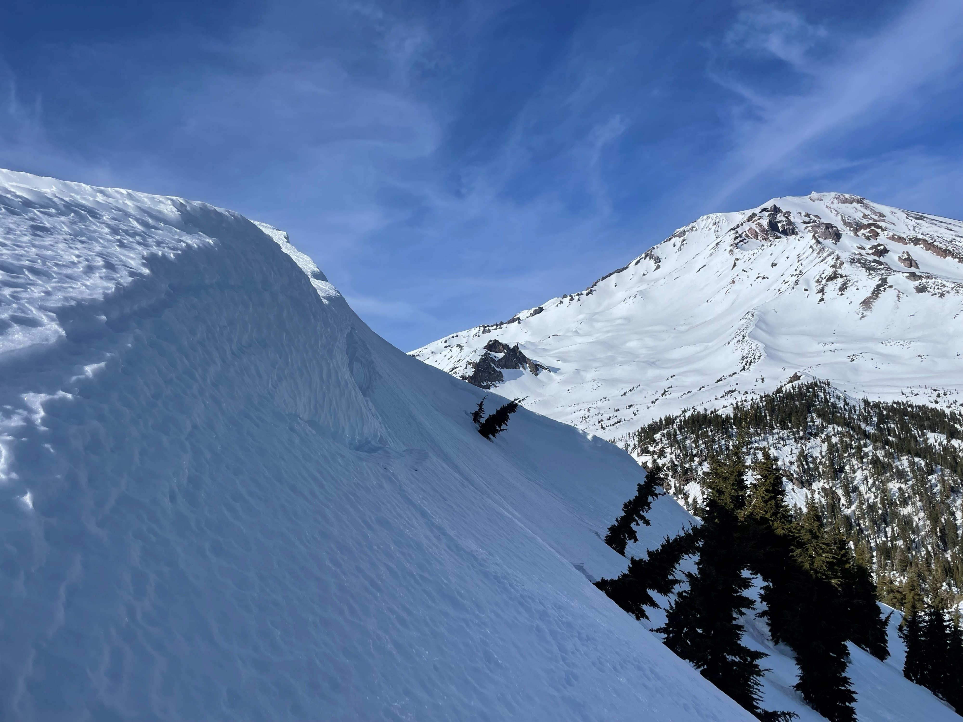
1. Bullet hard, icy snow. This was mostly found on shaded aspects (NW-N-NE-E) that havbe been wind packed by the northerly wind. These surfaces are as slick as they get, even with warm midday temperatures. Being so firm, its hard to say how well the new snow (tomorrow) will bond to these surfaces.
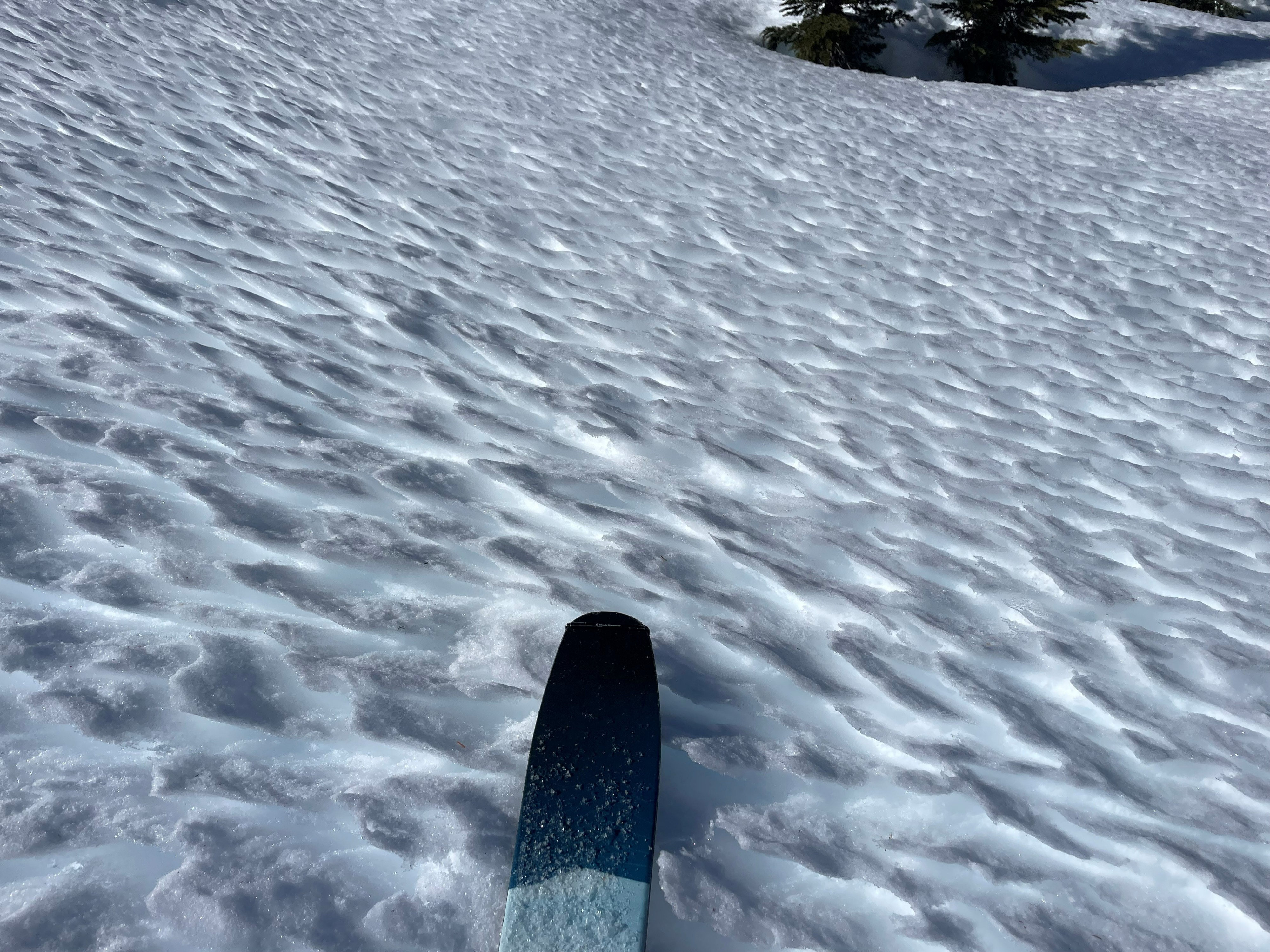
2. Sun affected soft snow. Providing decent ski and travel conditions, these surfaces were focused to southerly aspects that receive ample amounts of sunlight.
3. Faceted snow. Presenting as Near-surfaces Facets (NSF's), these look like loose sugar snow underneath a thin surface crust. The distribution is specific, and inconsistent. This grains can found in very shaded, cold aspects that have had little wind effect over the past few weeks. Nevertheless, these grains could be an issue with new precipitation.