
Quick report
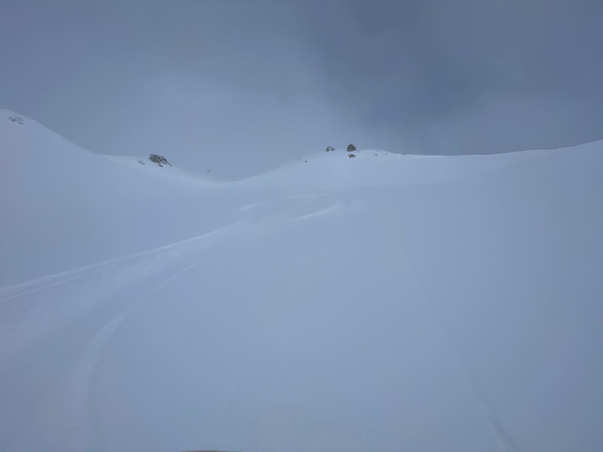
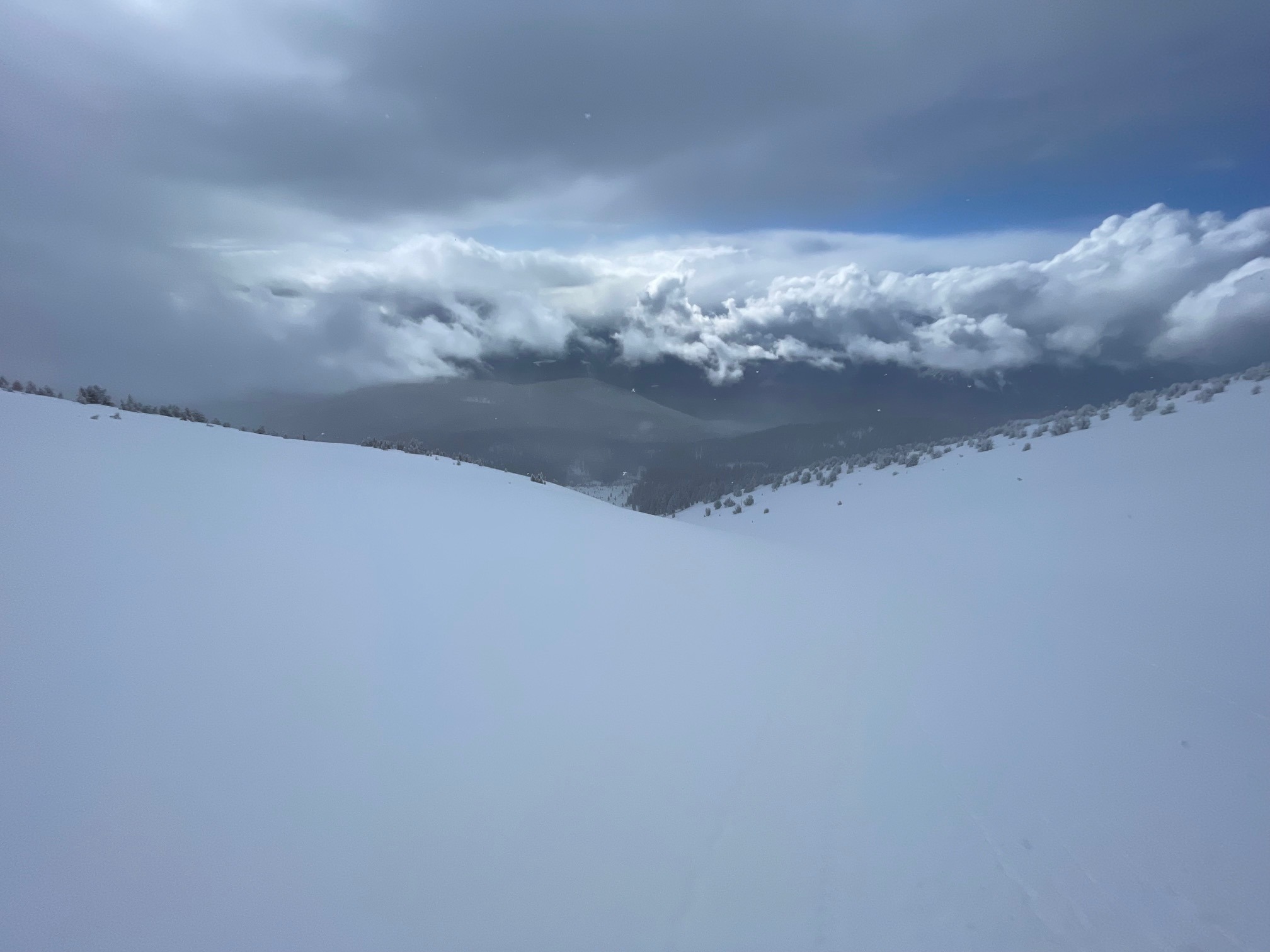
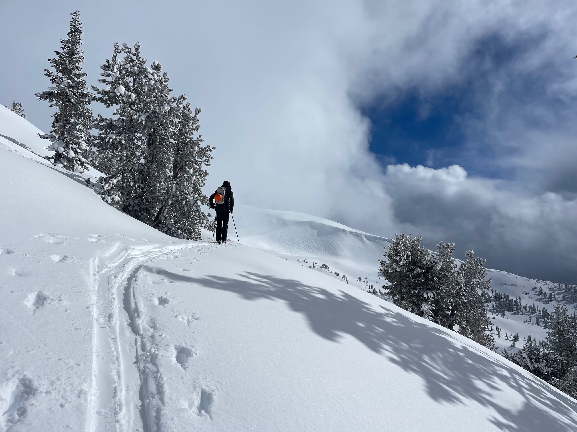
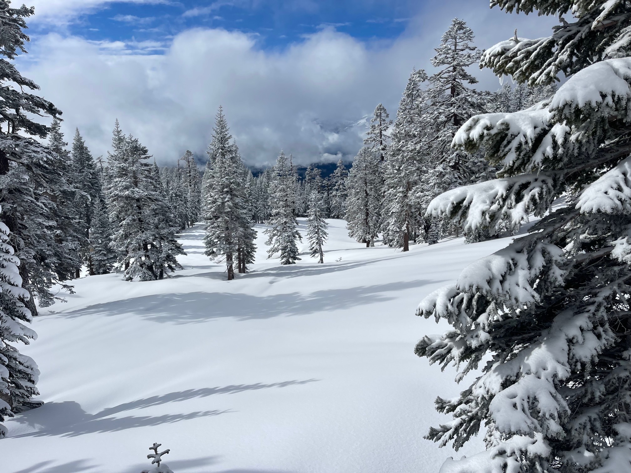
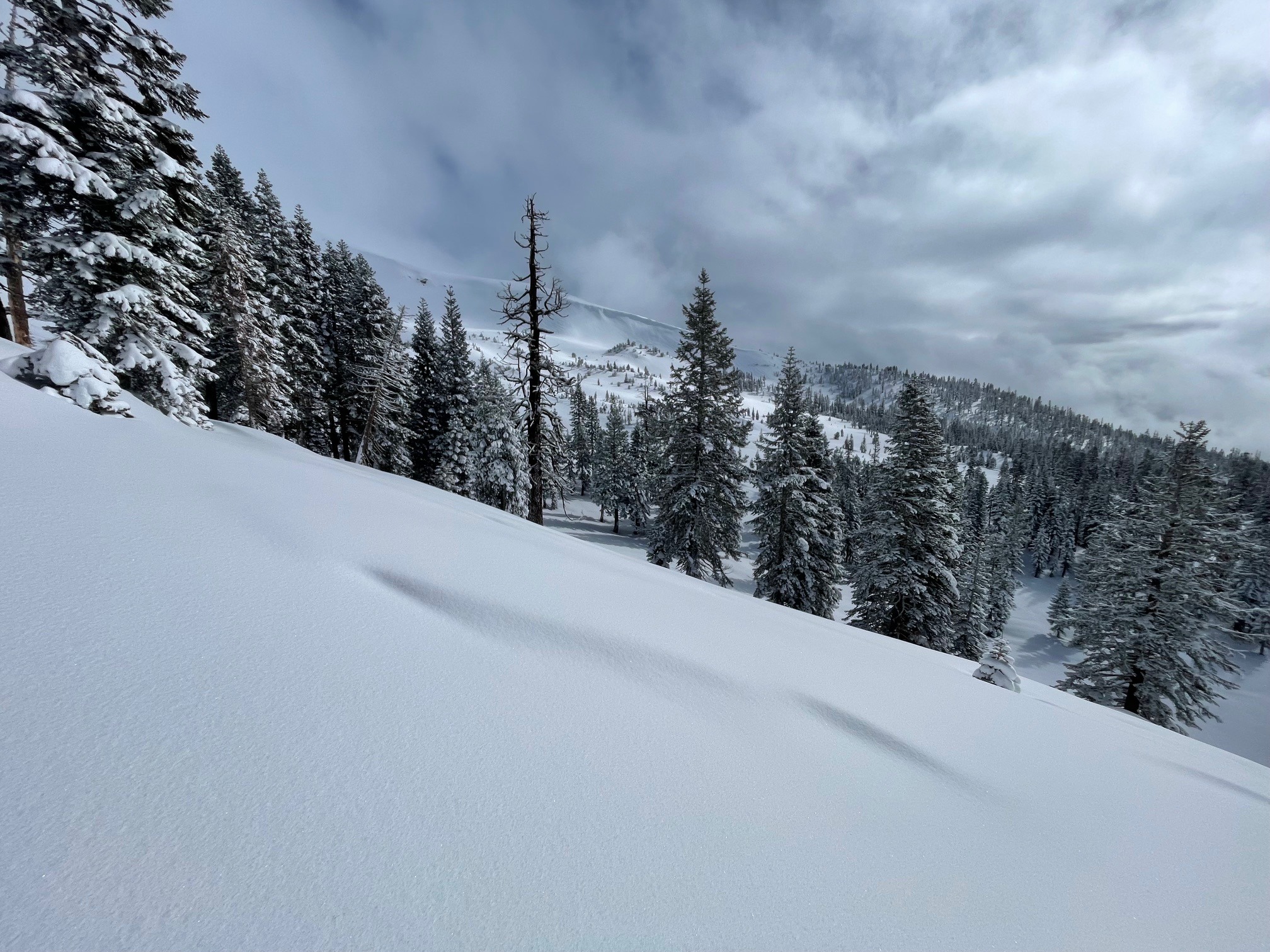
While no instability was observed today, conditions are good for future wind loading from a wind event. Plenty of snow is available for wind transport Good skiing, very little past or present wind effect, chilly temps with below freezing temps kept snow surfaces soft. Cornices have formed on some ridges and could be touchy.
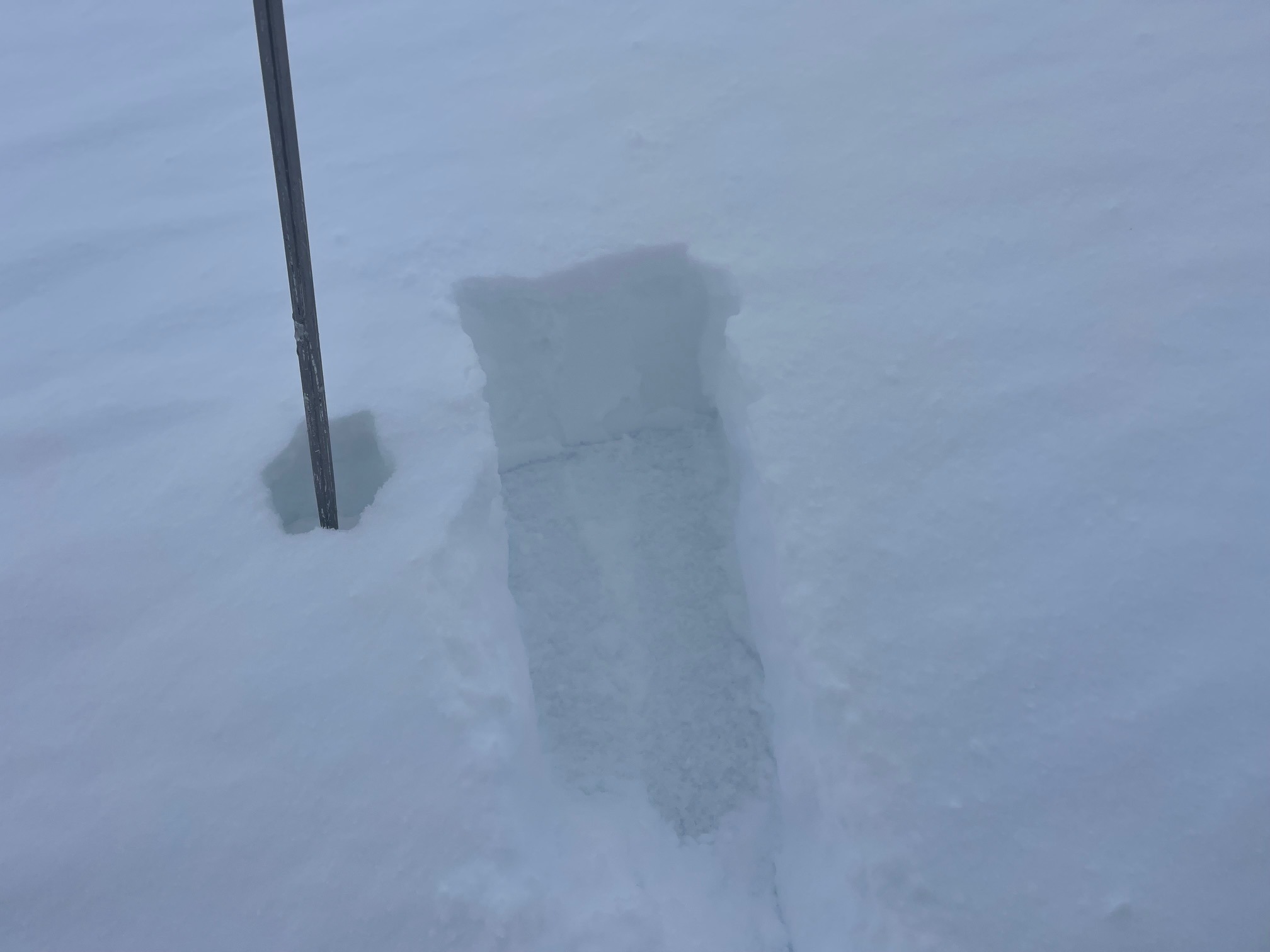
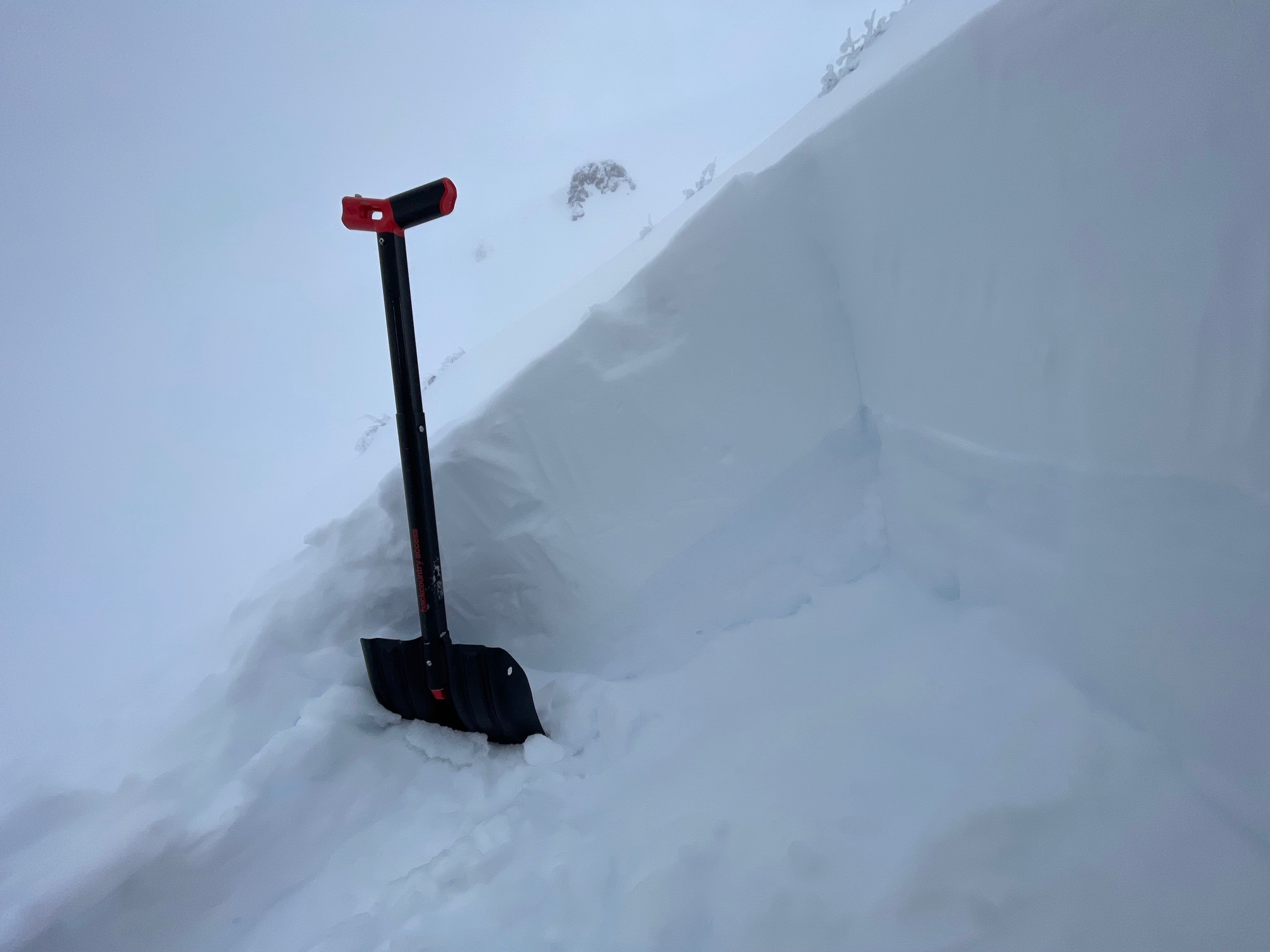
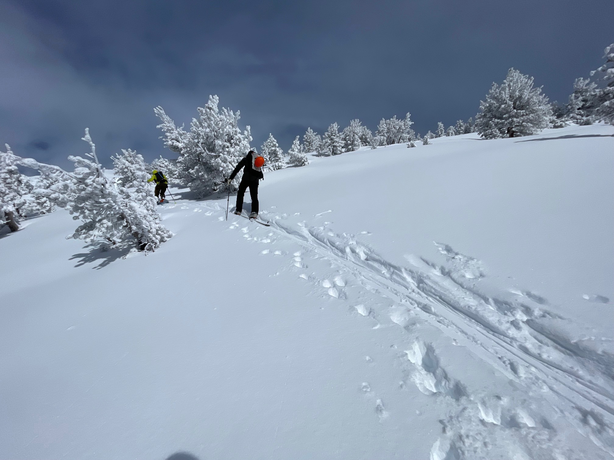
No instability was observed, no cracking or blocking, no recent avalanches. New snow was well bonded onto firm surfaces below at pit location: above treeline Mt Shasta 9,000 feet, west aspect, 39 degree slope angle. Stability tests could produced ECTX results at said location. Small loose dry sloughs were possible upon ski cuts in steep terrain. Other small, steep test slopes did not produce slab avalanches. Everything seems remarkably stable at this time.Weather
- Air Temp
- 23
- Cloud Cover
- obscured
- Wind Loading
- light
- Rain Elevation
- 5,000
- Recent Snowfall
- 1-2
- Snow Avail For Transport
- large amounts
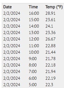
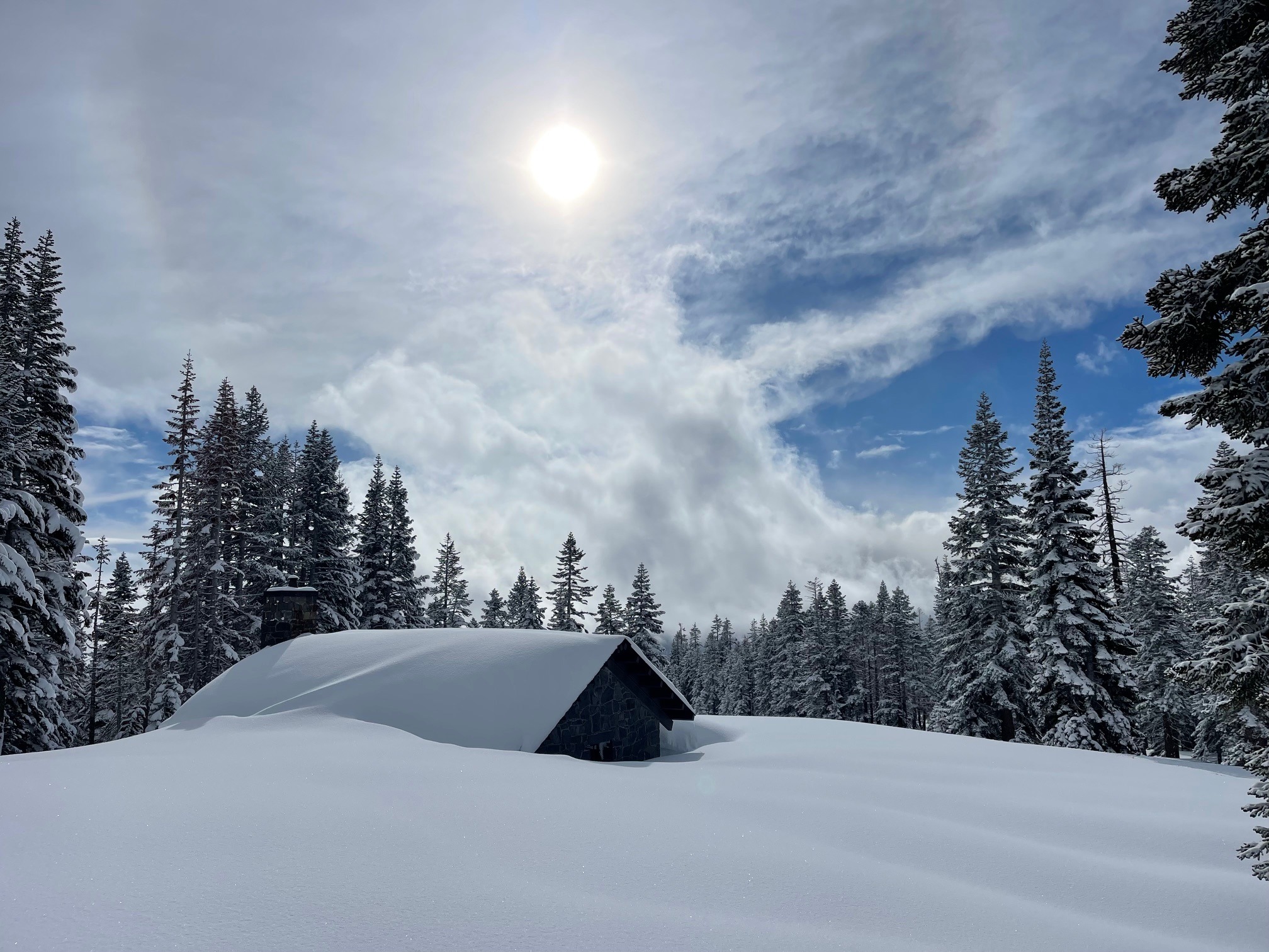
A chilly day with light westerly wind. The early morning was mostly clear, giving way to increasing clouds and fog at all elevations for the latter part of the AM hours and afternoon. A few moments of decent visibility occurred in between full whiteout conditions. Light snow flurries moved through the area. An inch of new snow fell. Temperatures bounced all over the place.
Snowpack
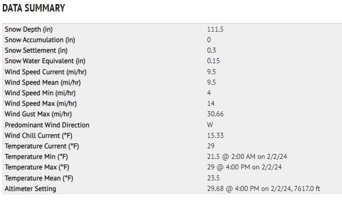
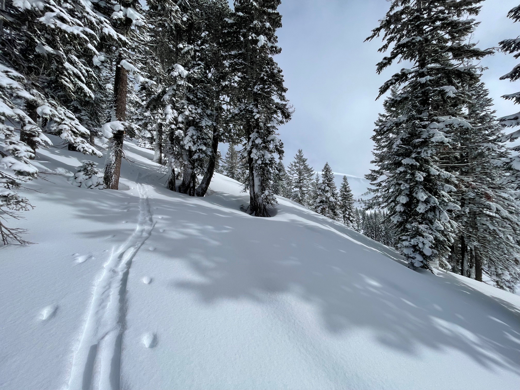
The snowpack near treeline on Mount Shasta averages 111 inches. Only an inch or two of snow fell in the past 24 hours, however two feet of snow (3.14 inches of water) fell within the last 3 days. The new snow has settled out well, and instability was hard to come by today. That said, plenty of low density snow remains available for wind transport. Recent new snow is not distributed evenly across the landscape. Anywhere from 6 inches to over 2 feet can be found pending aspect and elevation. New snow has bonded well to the underlying firm, icy crust.