
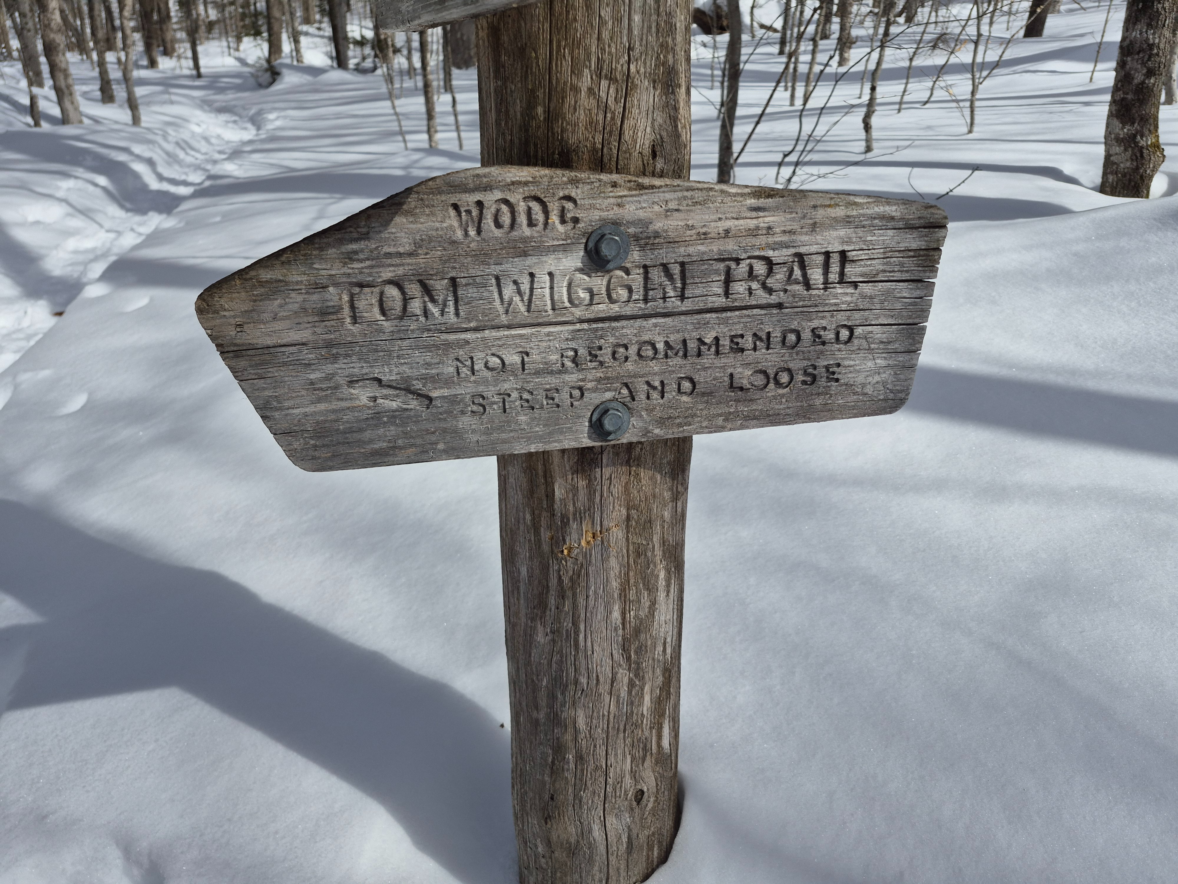
Tom Wiggin Trail - Sandwich Range
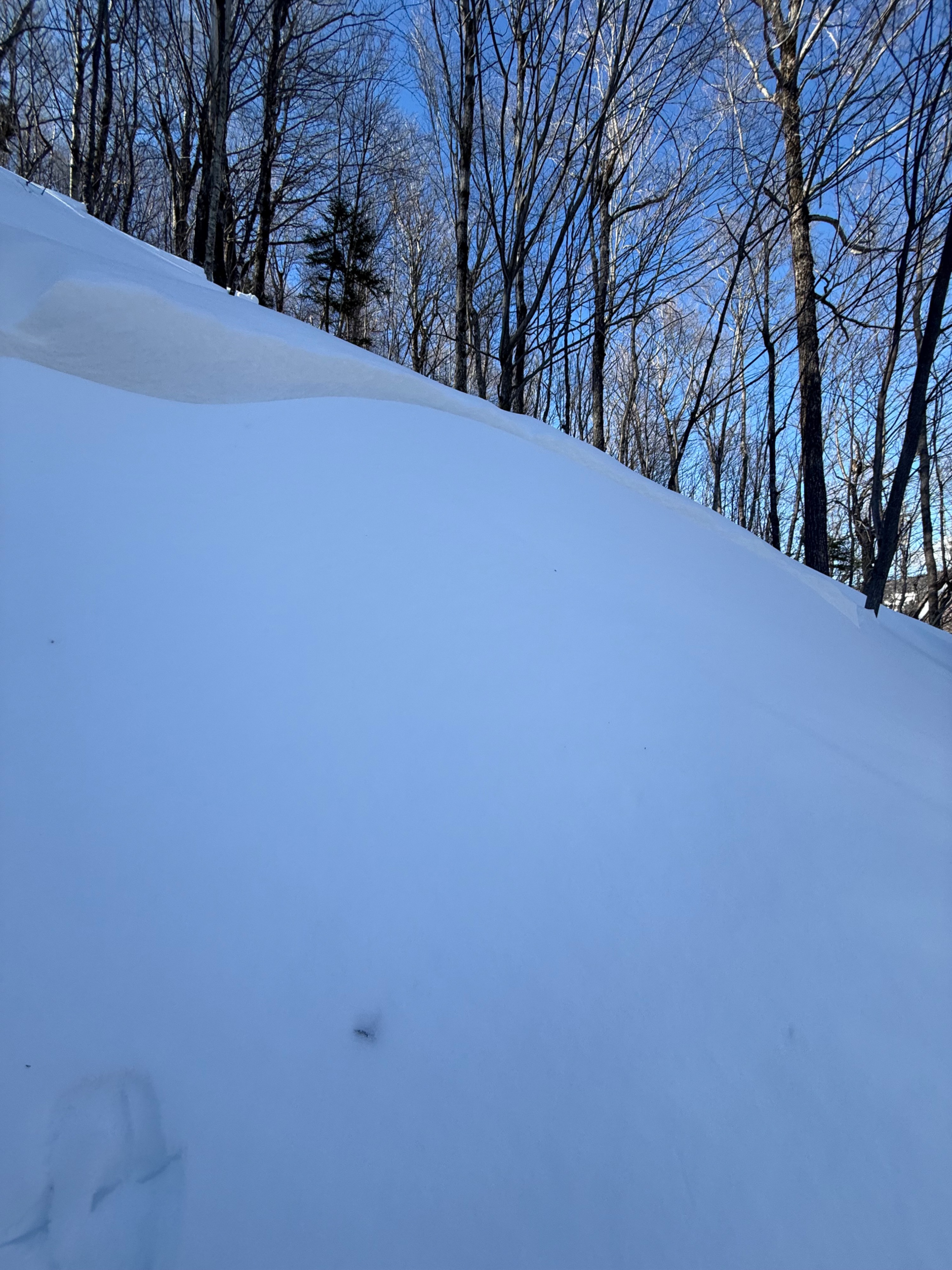
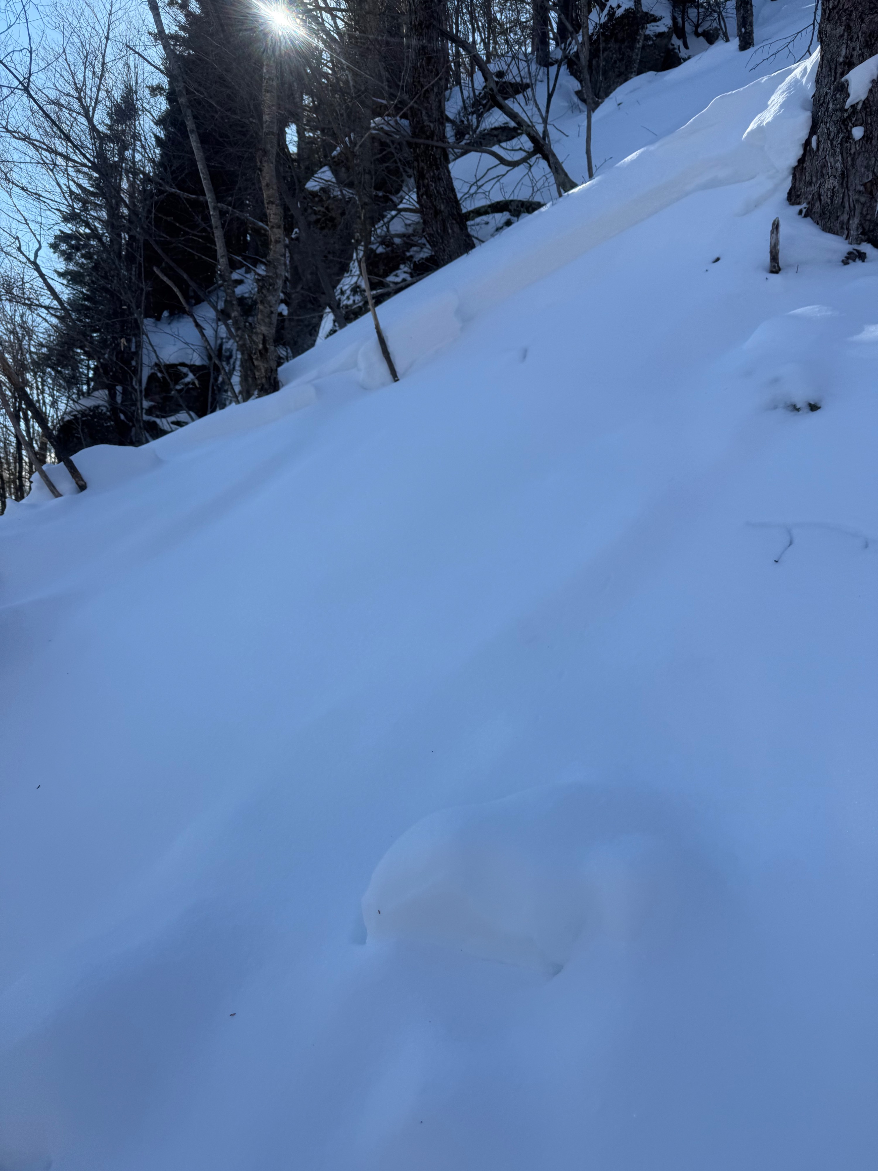
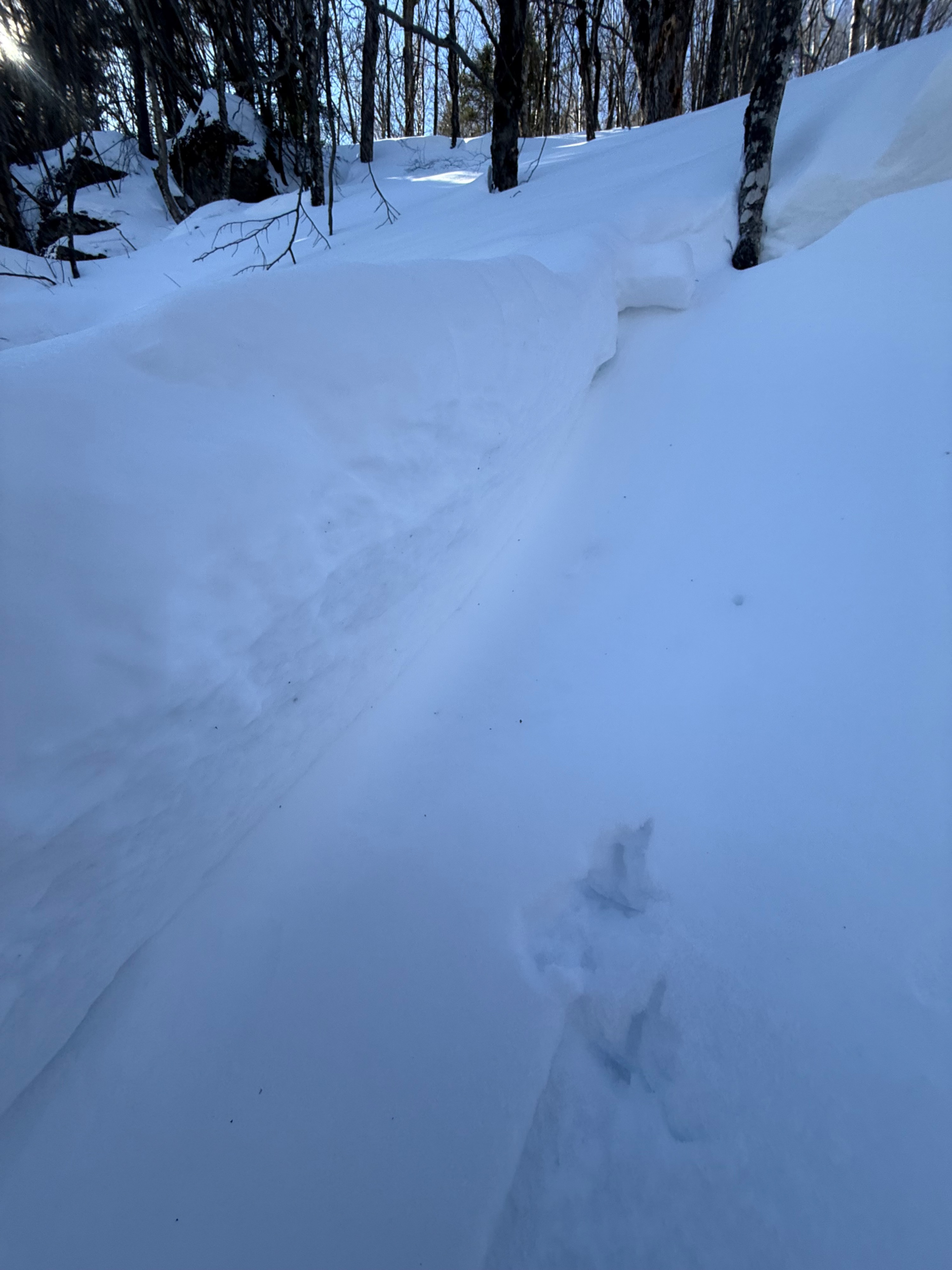
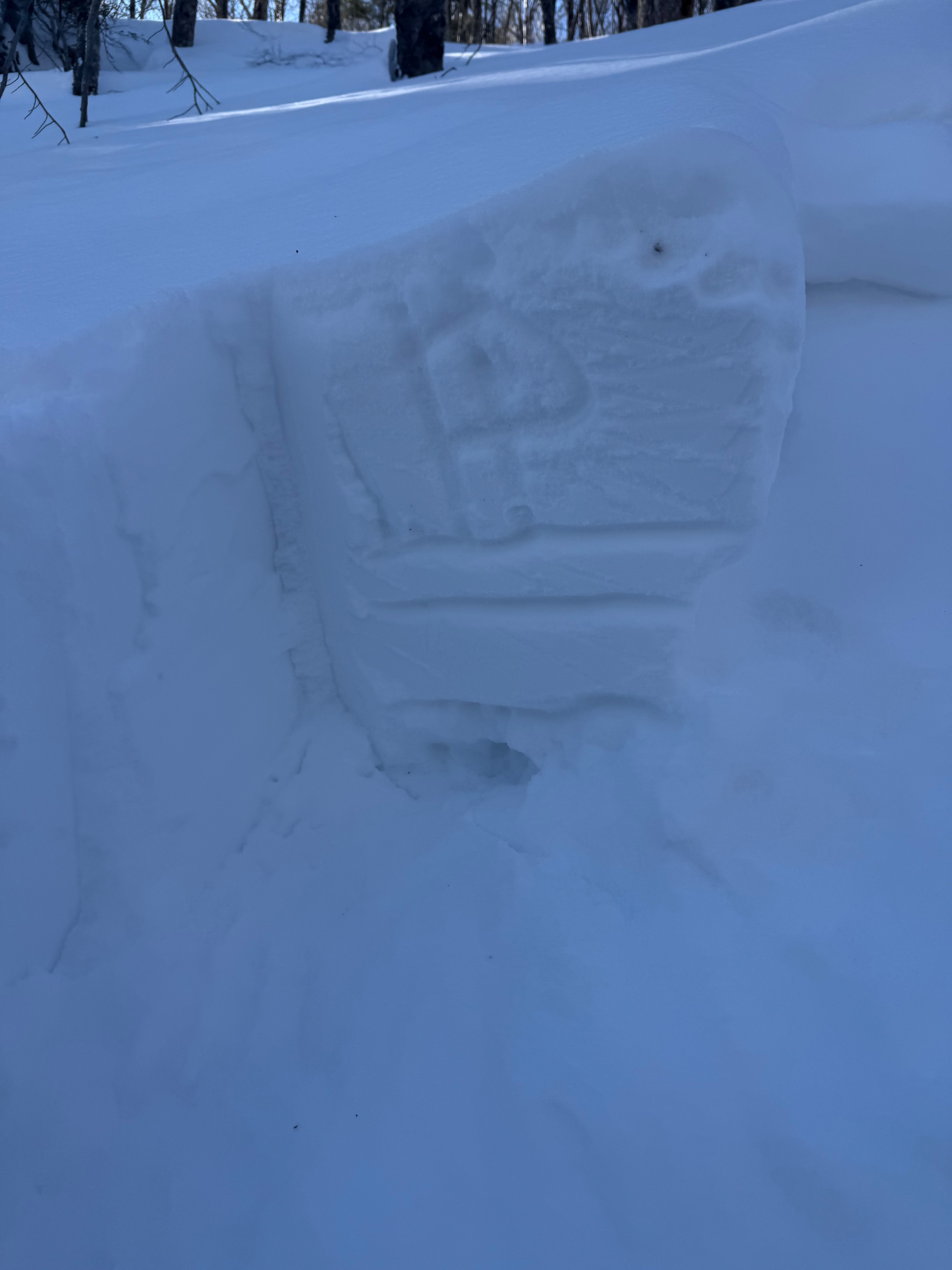
Weather
- Air Temp
- 30F (estimate)
- Cloud Cover
- scattered
- Recent Snowfall
- 3cm
Warm in wind protected areas. light westerly winds. scattered cloud cover.
Snowpack
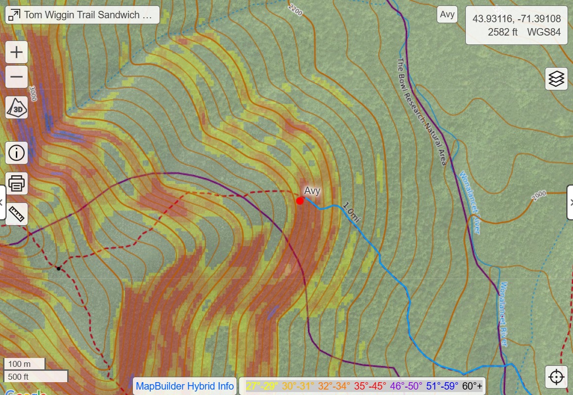
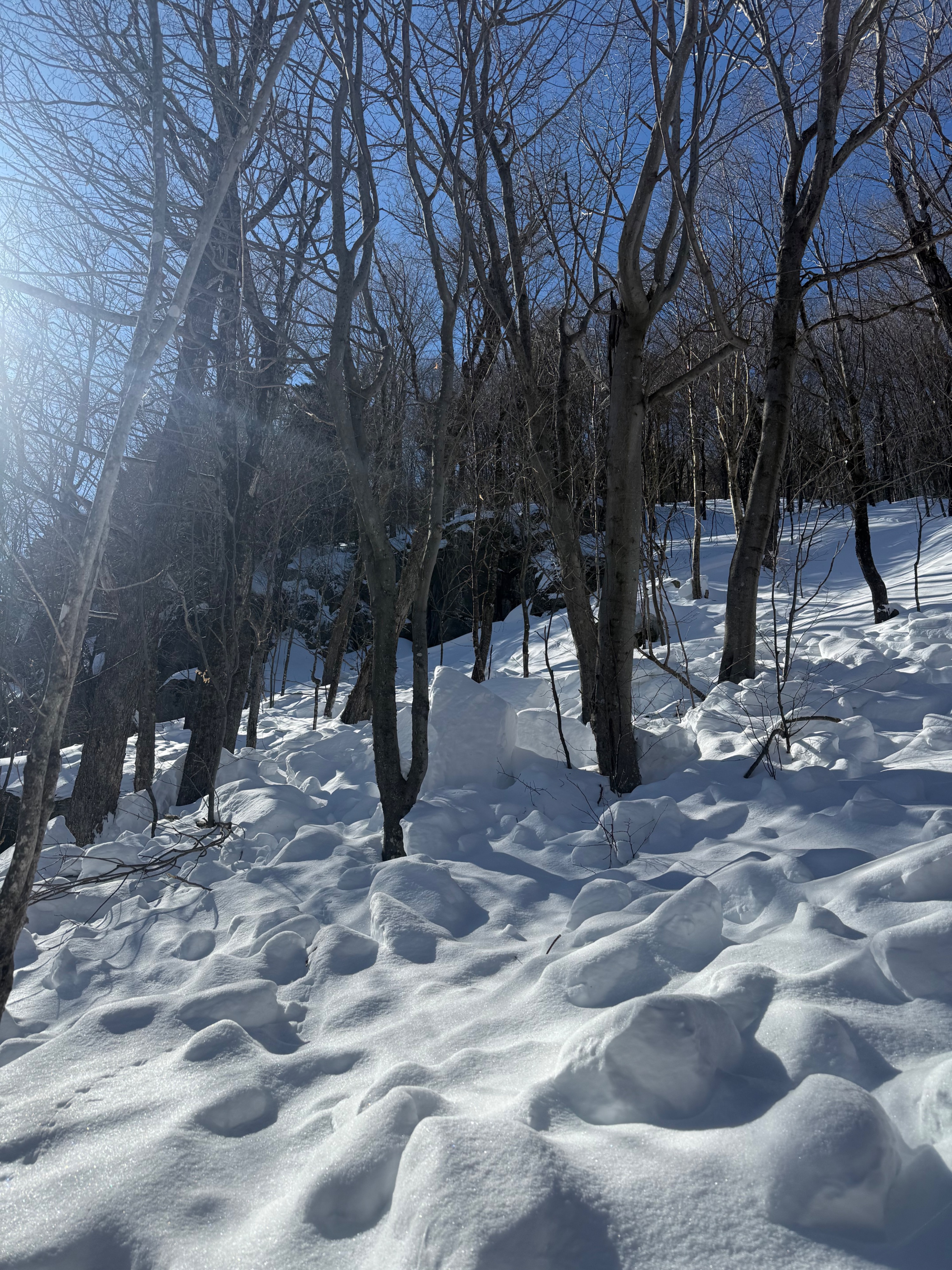
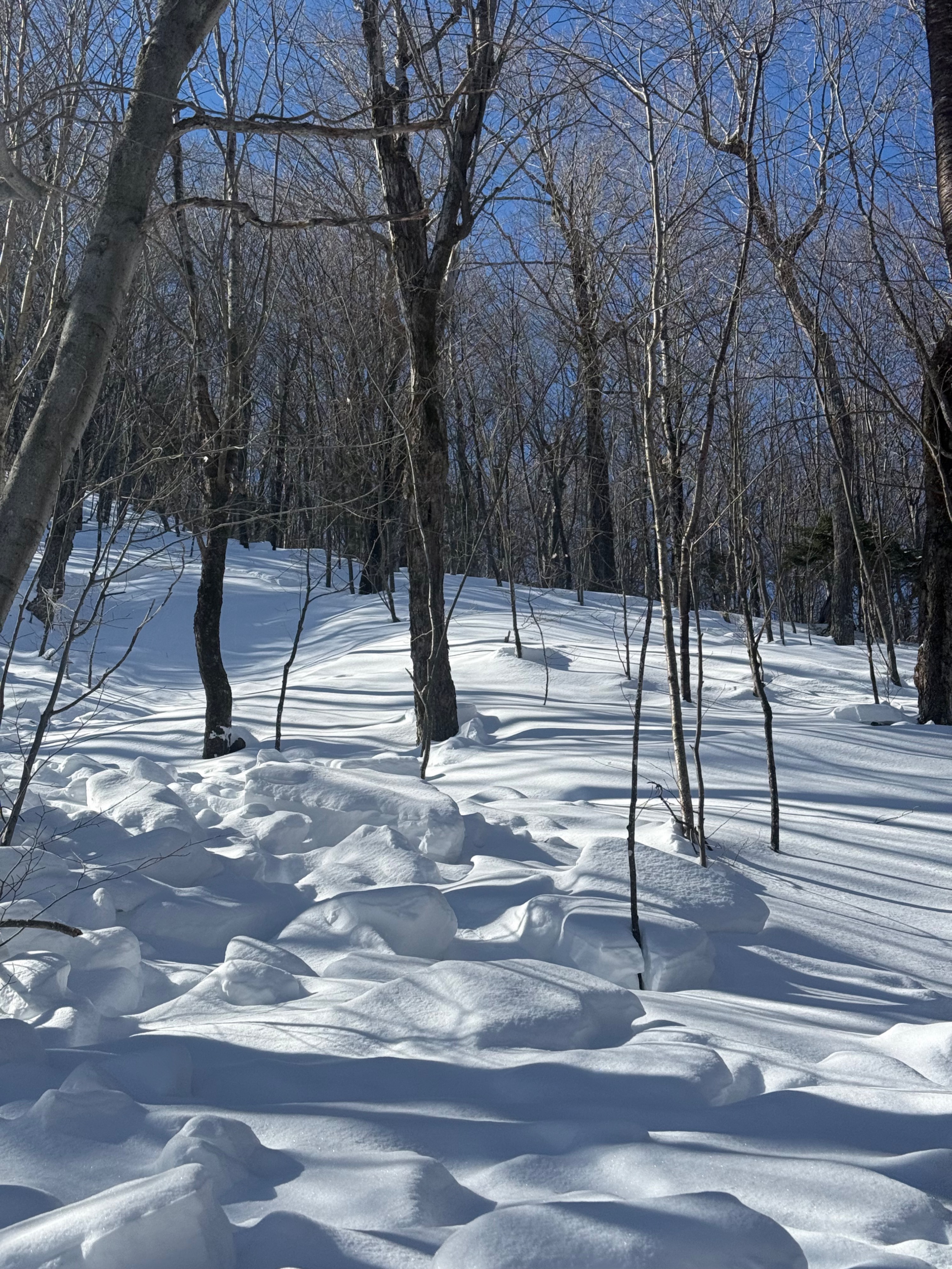
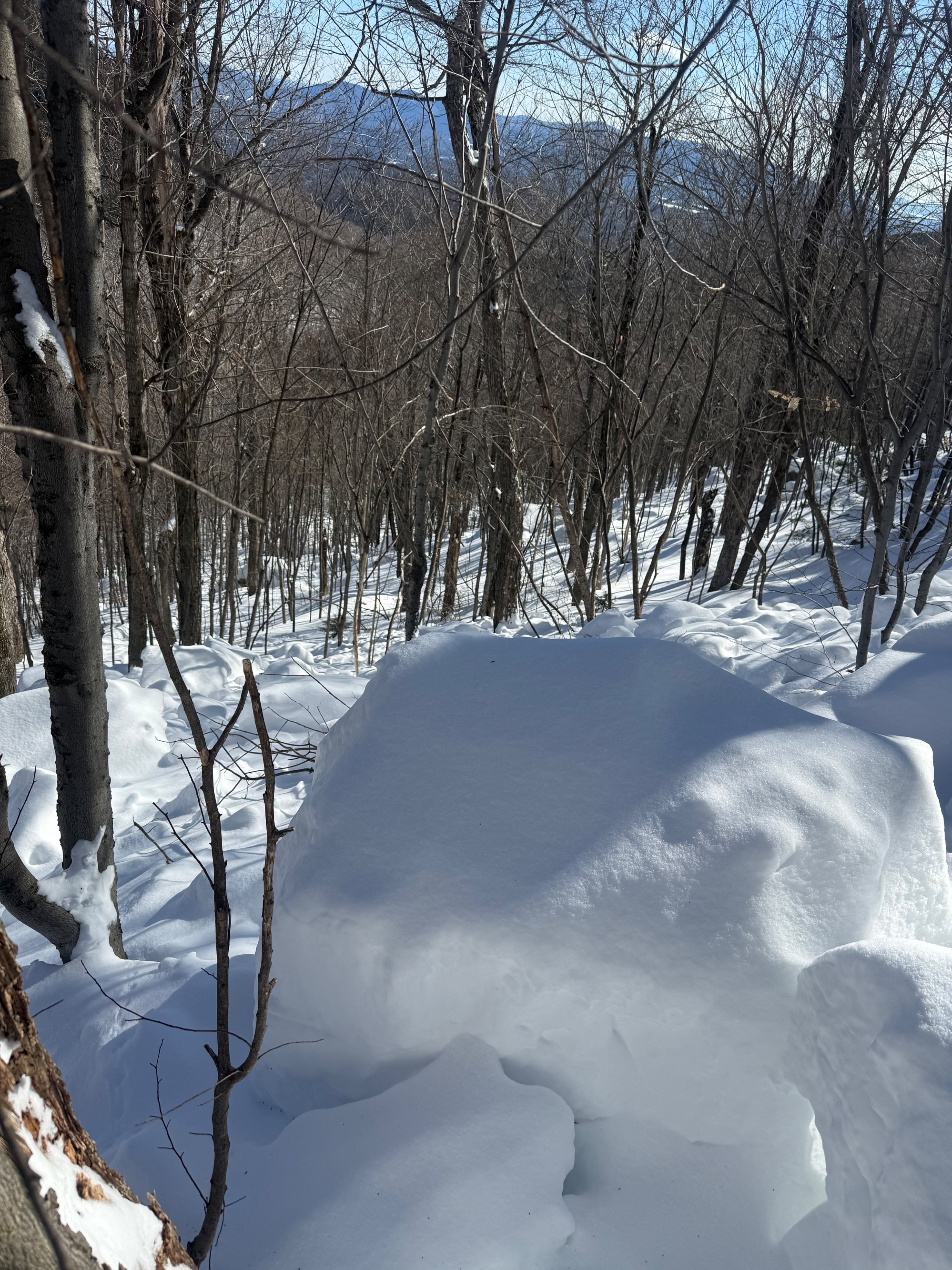
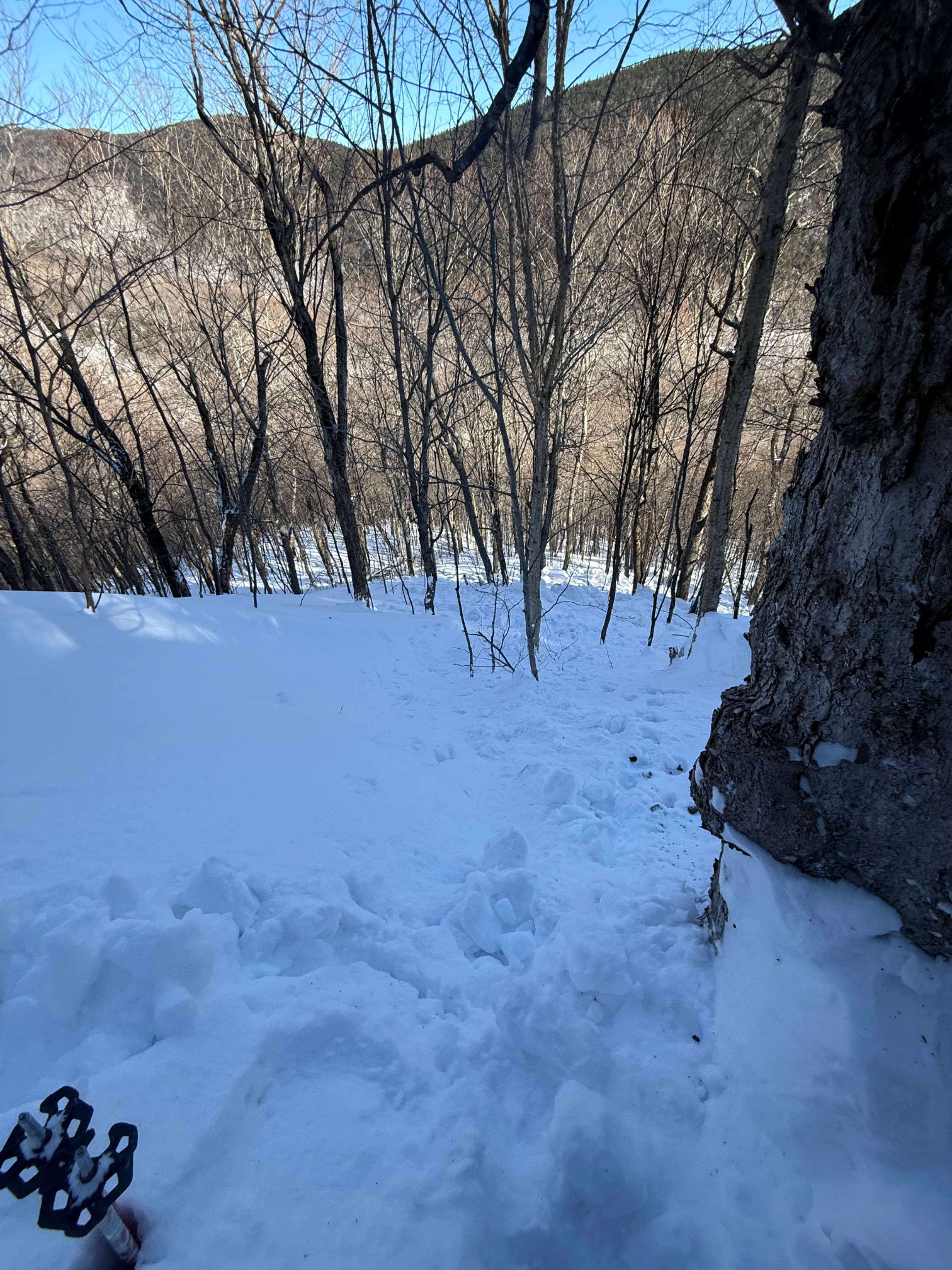
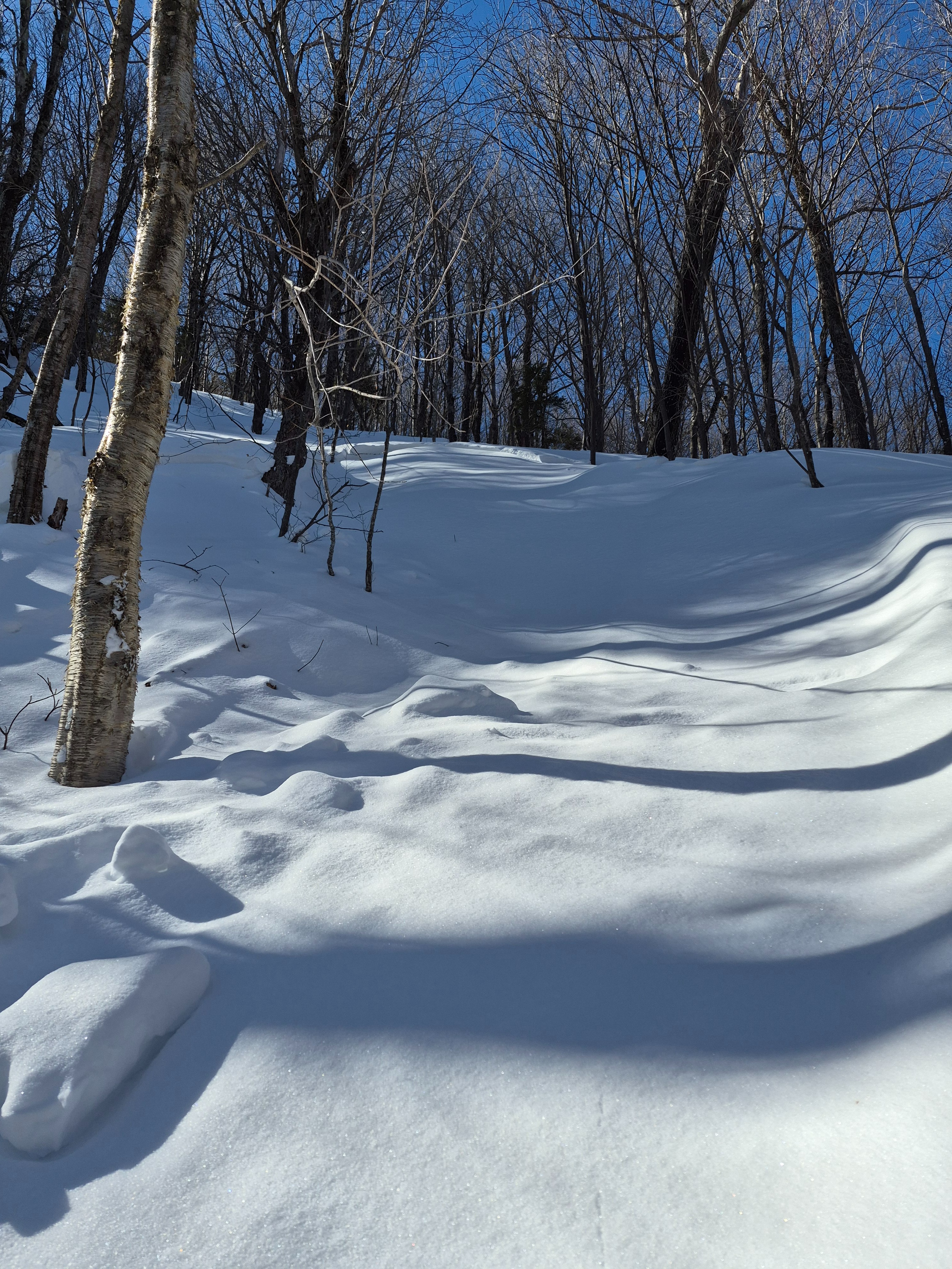
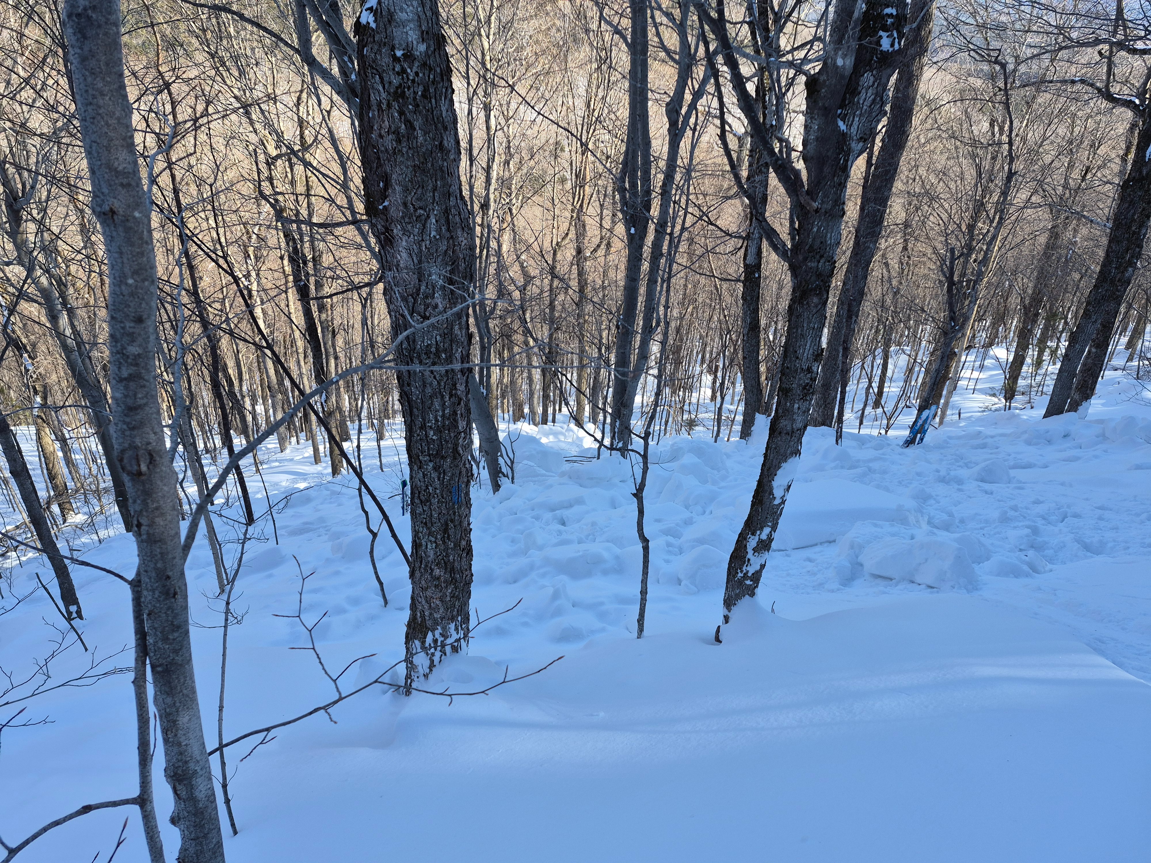
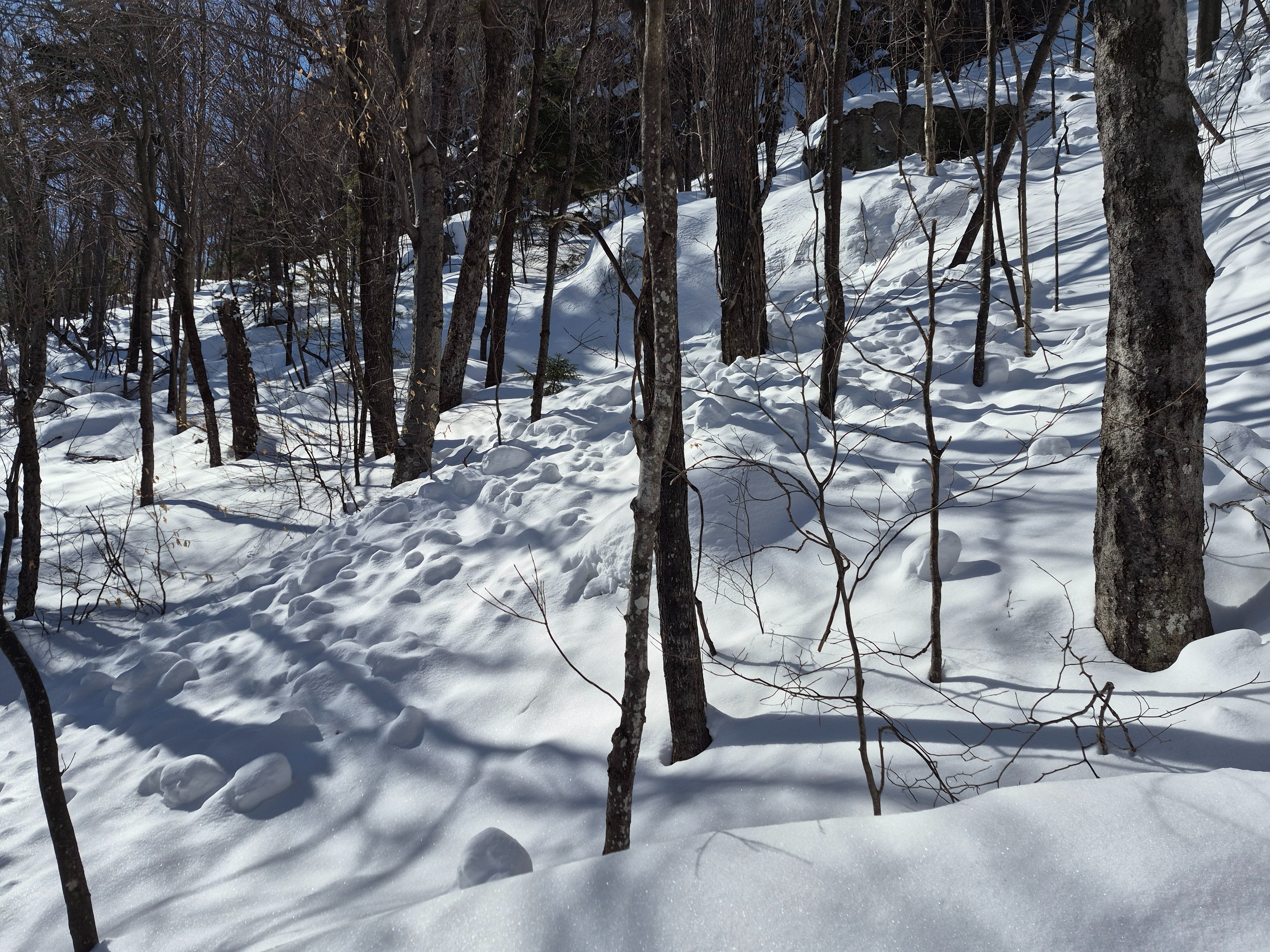
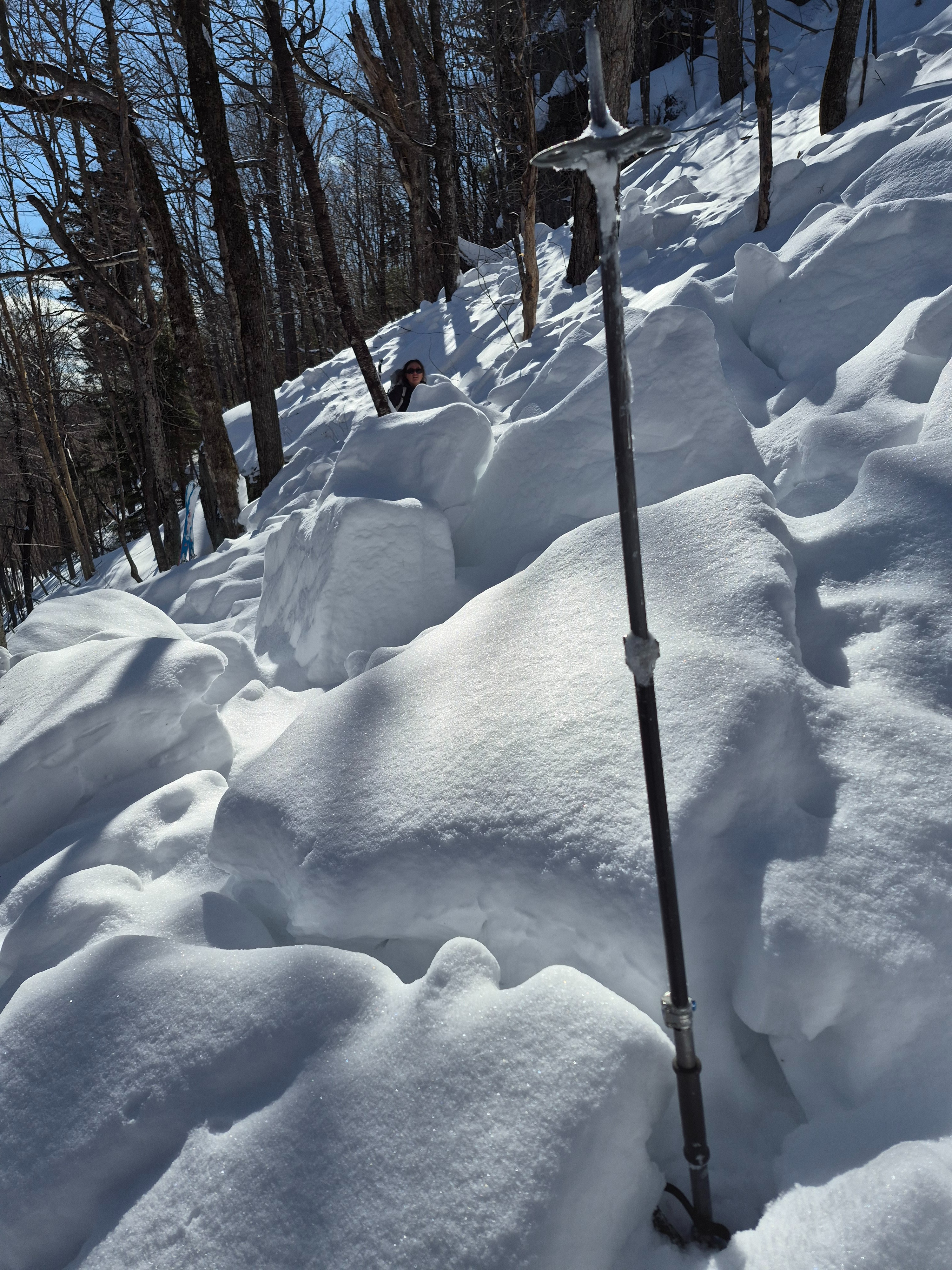
Touring up, ski and boot penetration were approximately 15 and 35 cm with the snowpack mainly unconsolidated. Once near the avalanche, the pencil hard slab structure was supportive and slick underneath 3cm of new snow from Wednesday 2/25. The bed surface was somewhat supportive in places and others we easily punched through hip deep.
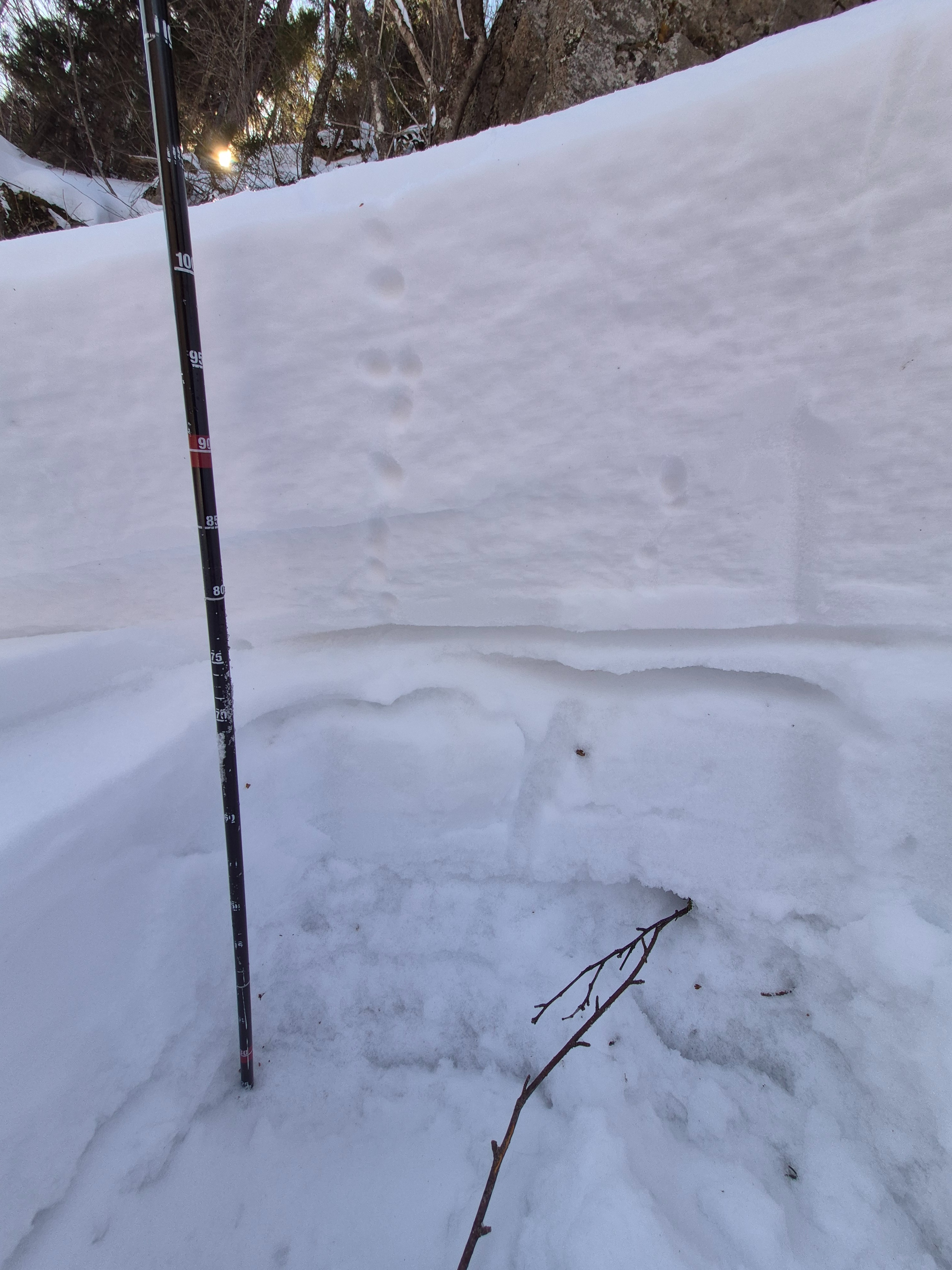
We investigated the crownline in two places. Removing yesterday’s new snow from the picture, it appeared that half of the avalanche failed in slightly softer snow directly on top of a 2cm crust layer (possibly 1/10) about 25cm down from the snow surface. The other side of the slide appeared to have run within density changes in old snow. The crust structure existed in this location as well but was buried another 40cm lower. A PST within the old snow propagated at 64/End approximately 40cm down.