
Quick report
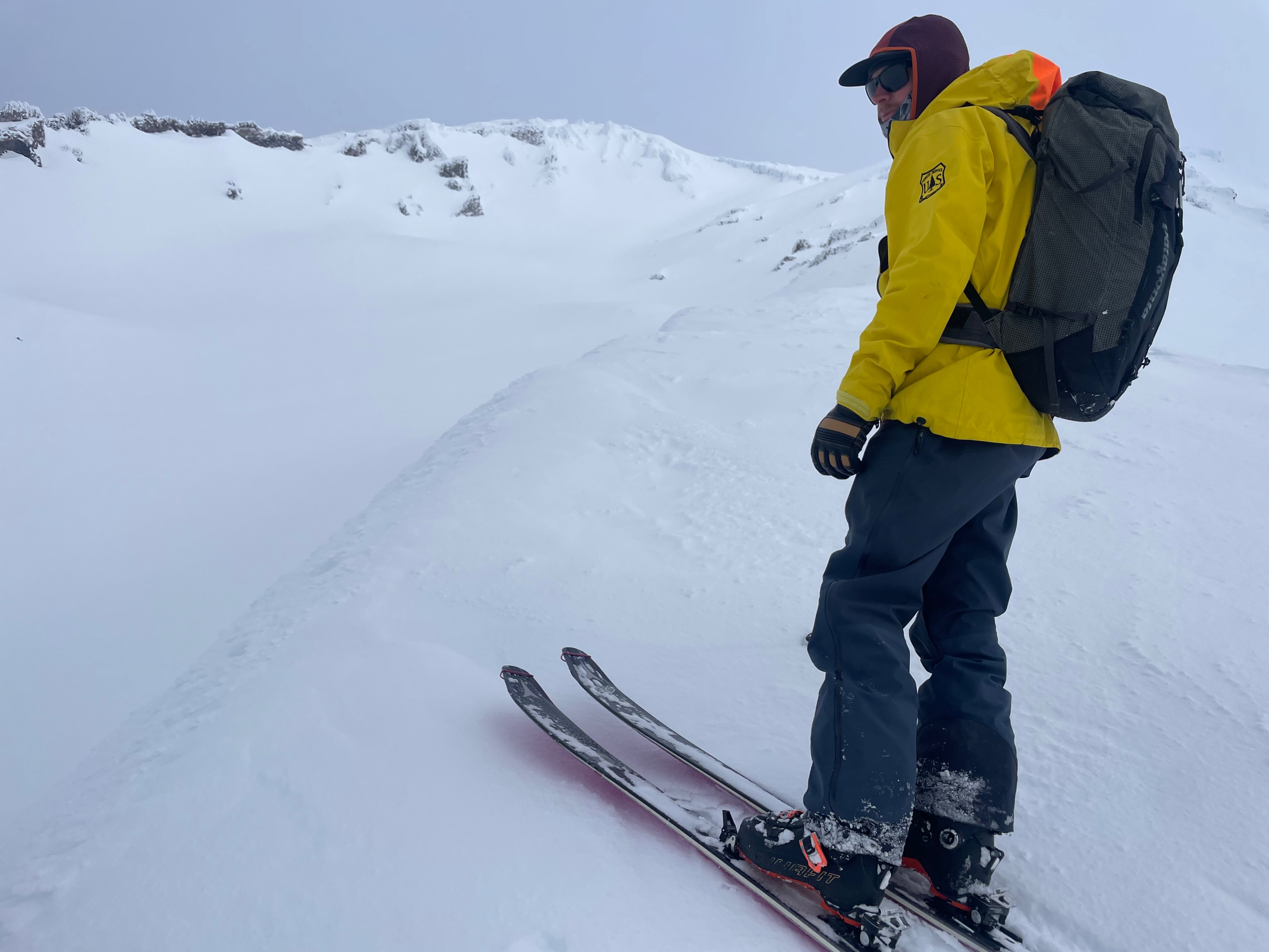
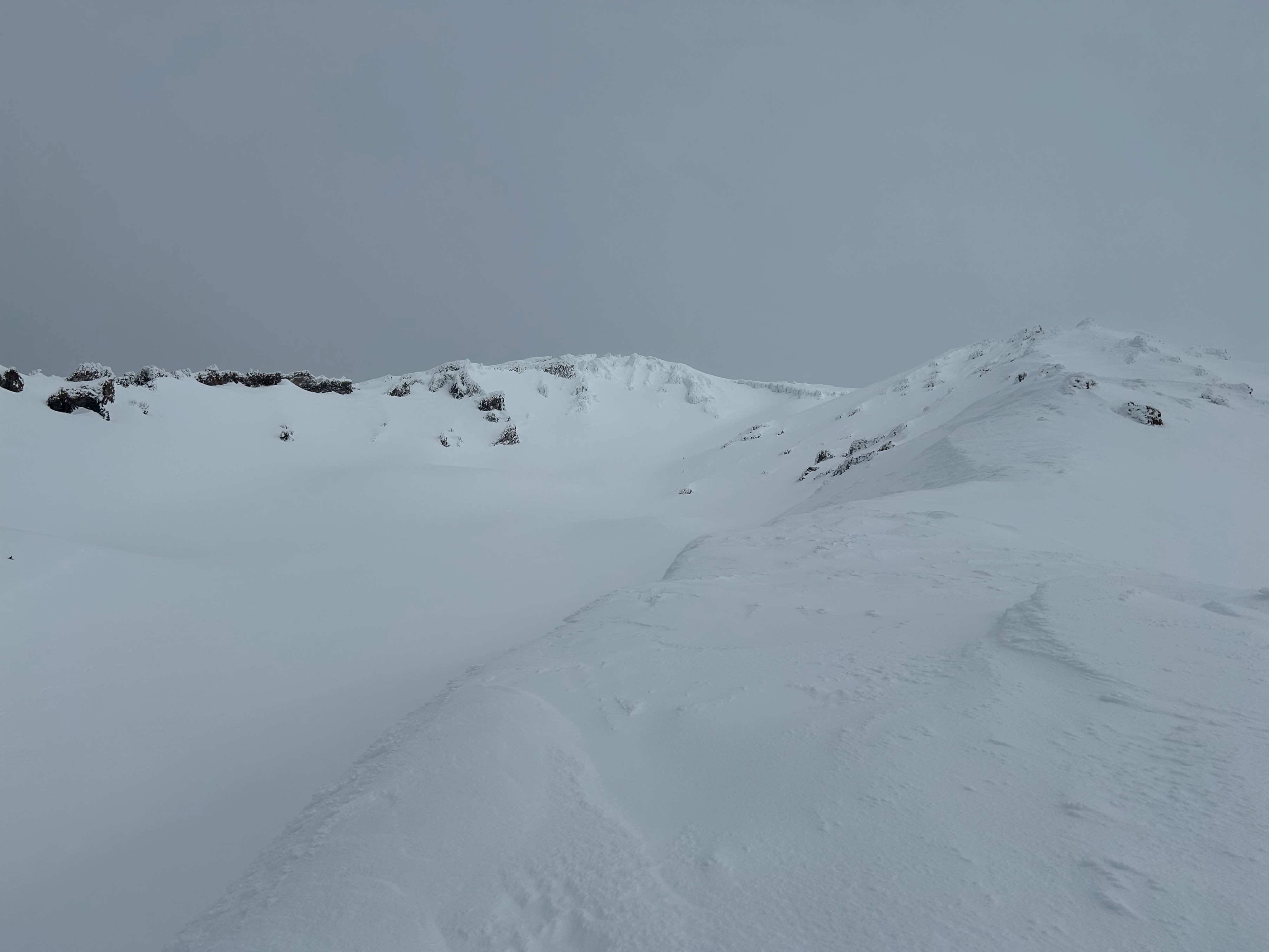
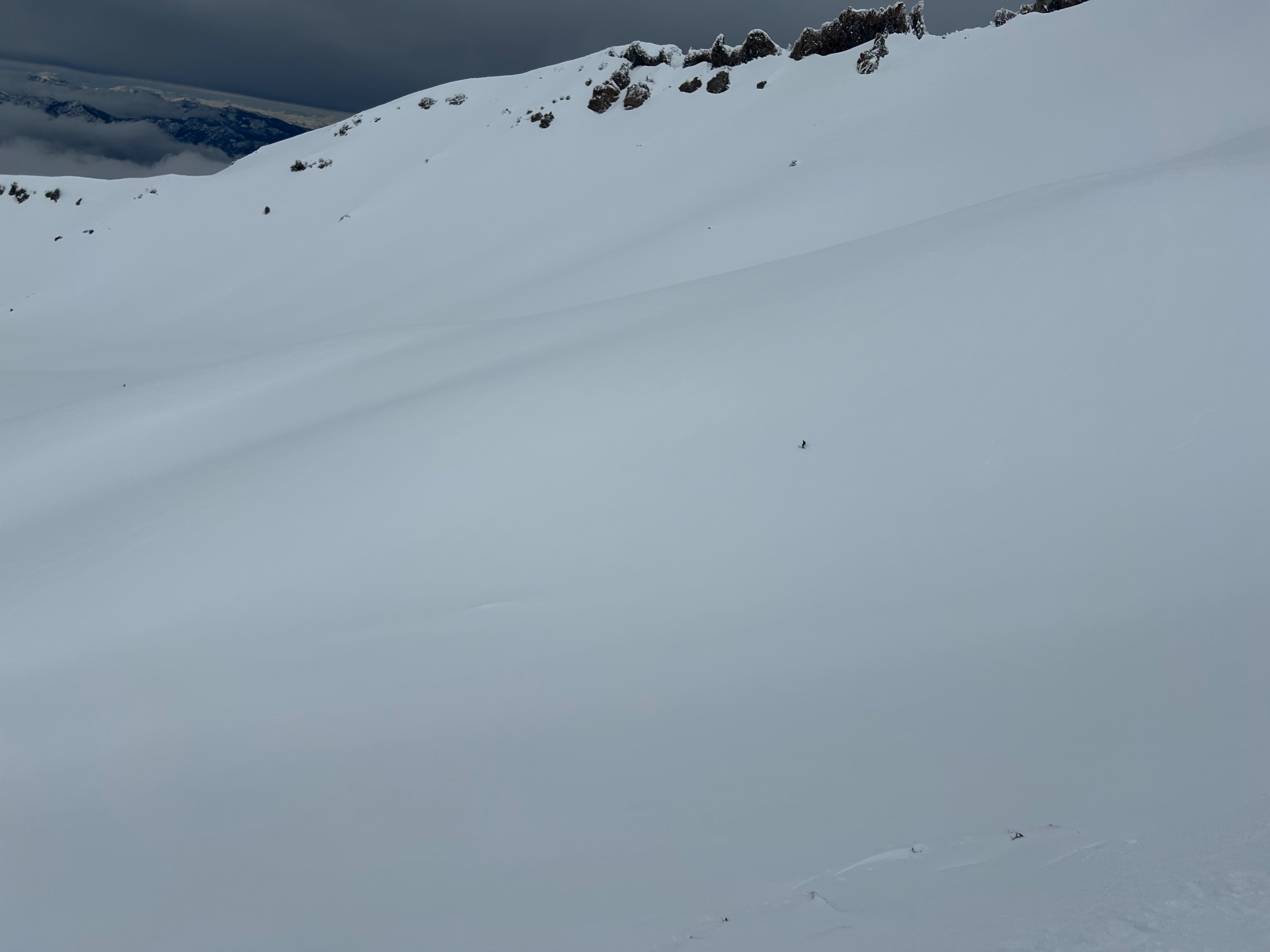
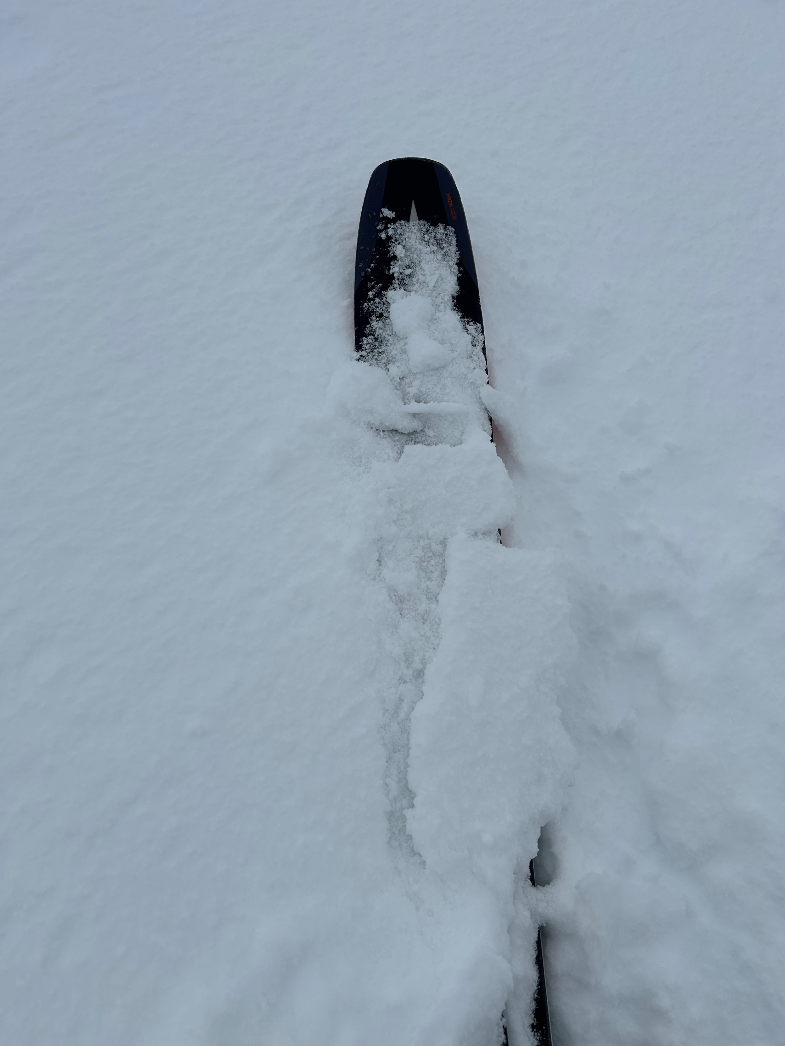
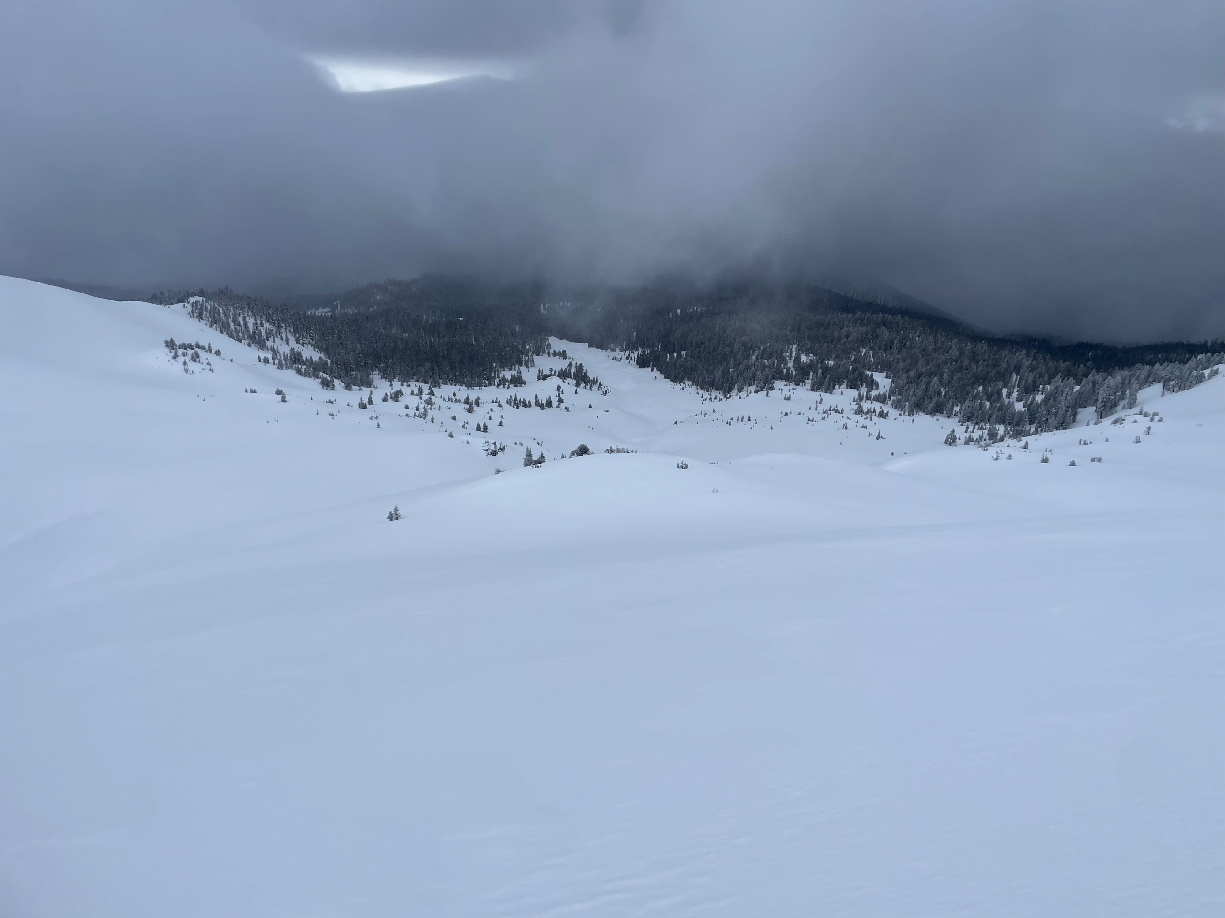
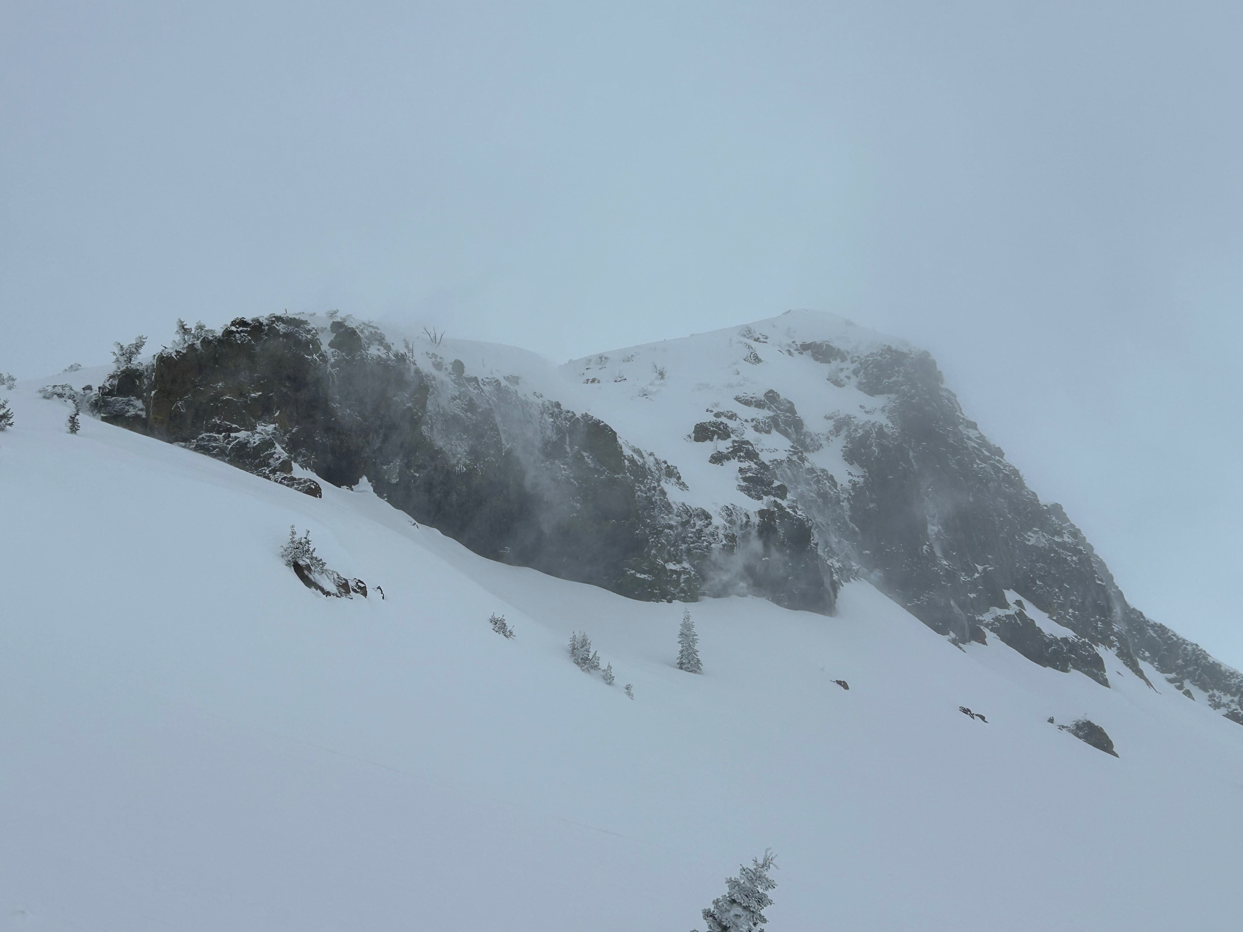
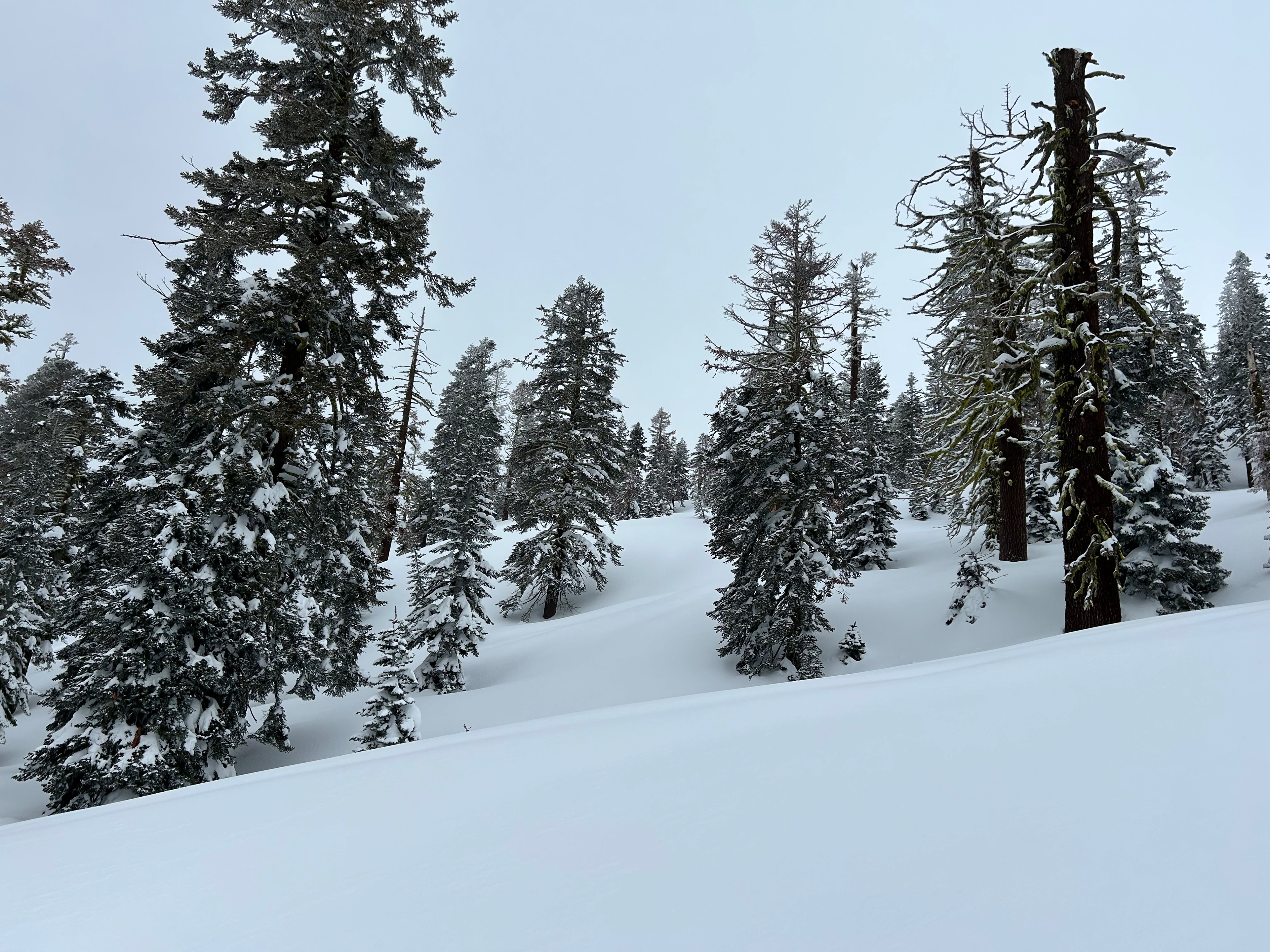
Very wintry and frigged conditions prevailed throughout the day. No major red flags of avalanche danger were observed. Near treeline and above, drifting snow was present off ridgelines and rock outcroppings. Surfaces above treeline are wind textured but remain relatively soft. A thin and almost non-noticeable breakable surface crust was present on south, east, and west aspects, with a trace of very fine precipitation particles and graupel on top. More variable surfaces were experienced along ridgelines and open, exposed slopes.
Weather
- Air Temp
- 22
- Cloud Cover
- overcast
- Wind Loading
- moderate
- Recent Snowfall
- 10
- Snow Avail For Transport
- moderate amounts
As the day progressed, so did the weather. Clouds built steadily and visibility was difficult due to the flat light. Winds blew out of the west at moderate to strong speeds, with wind chill values in the negatives. Temperatures remained below freezing, with a high of 28 degrees. Snow began to fall on our exit around 1:30 pm.
Snowpack
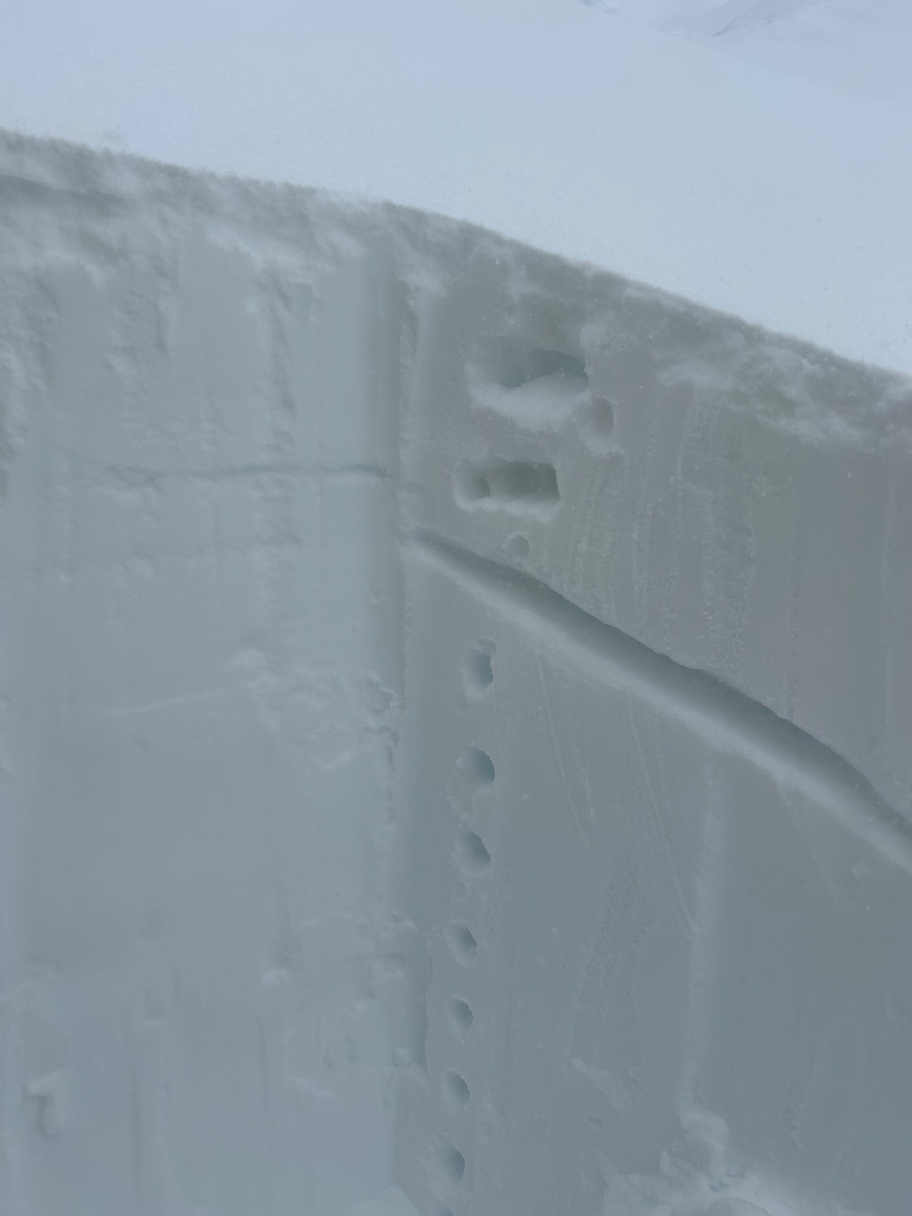
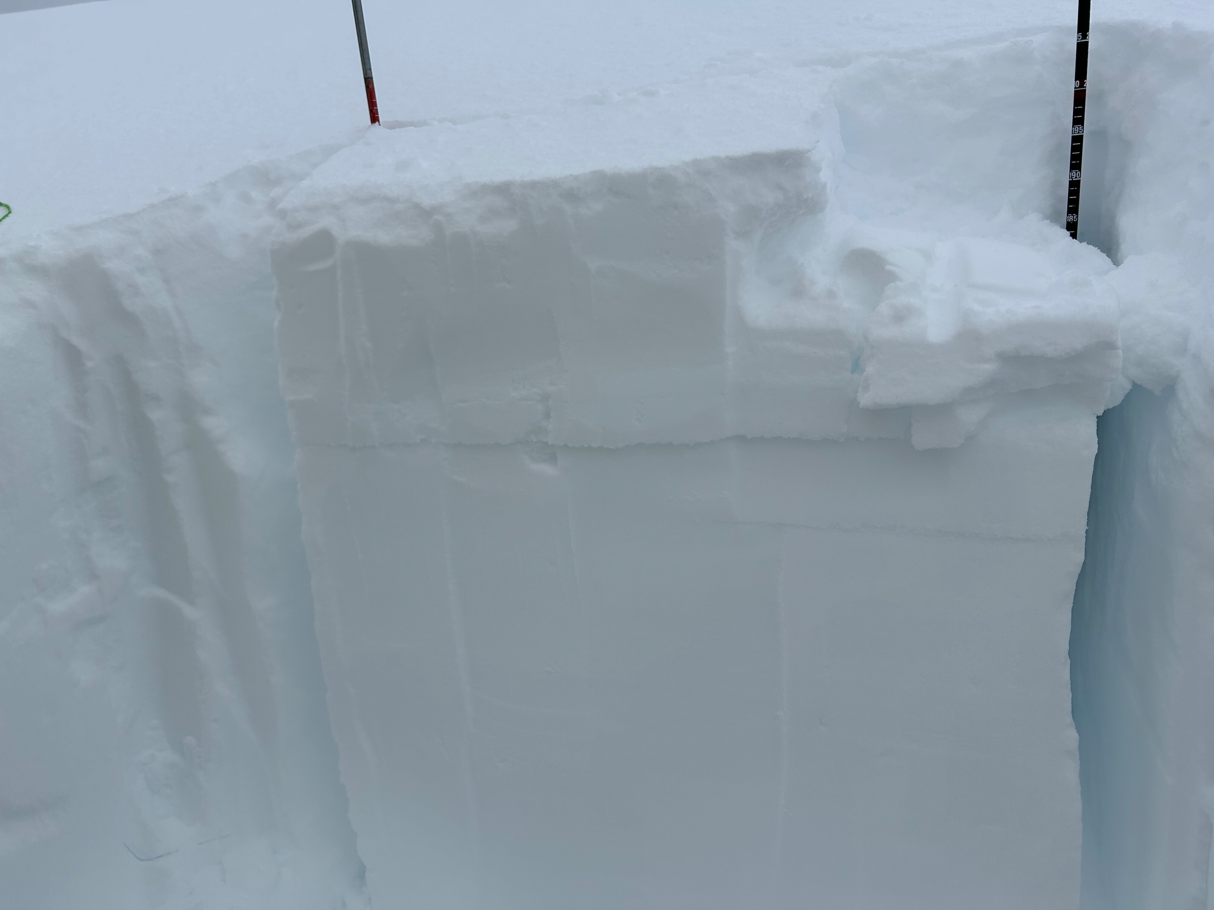
No wind slabs or signs of instability were observed today, despite the active winds and blowing snow. Snow surfaces were supportable and smooth for the majority, with light wind texture. Areas where the wind has been more active, like ridgelines, hold scoured and icy surface conditions. Pockets among alpine panels and rock outcroppings were experiencing drifting and looked wind loaded. A pit dug on a southeast facing slope at 10,000 feet revealed five inches of new snow atop a crust combo down 30 cm. Stability tests revealed the snow sandwiched in between the two crusts as the layer of failure (see photos). While not a major concern as of now, these crusts have the potential to be a problematic weak layer in the snowpack. These crust hold varying thicknesses and distribution, and were observed to be easily penetrable on southern aspects, opposed to east and north aspects.