
Quick report
The snowpack is refrozen, hard, and icy from rapidly decreasing temperatures after warming and liquid precipitation over the past couple days.
The snow surface is slick, hard, and icy in most areas. Some areas that are highly protected by the wind have a thin layer of new snow sitting on top of the melt freeze crust.
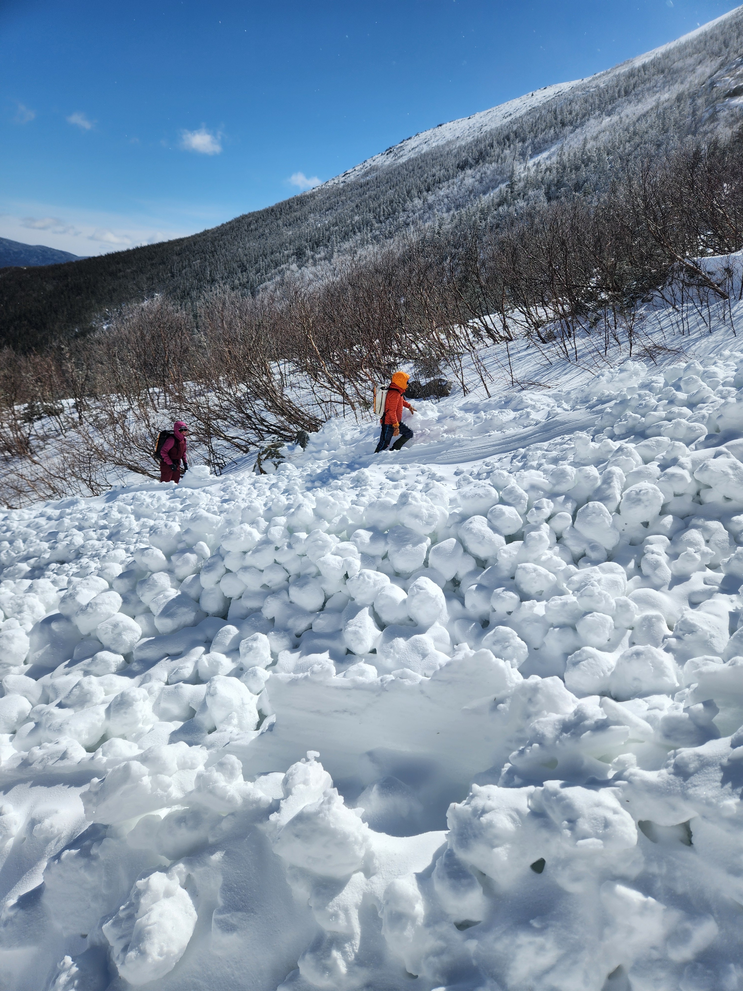
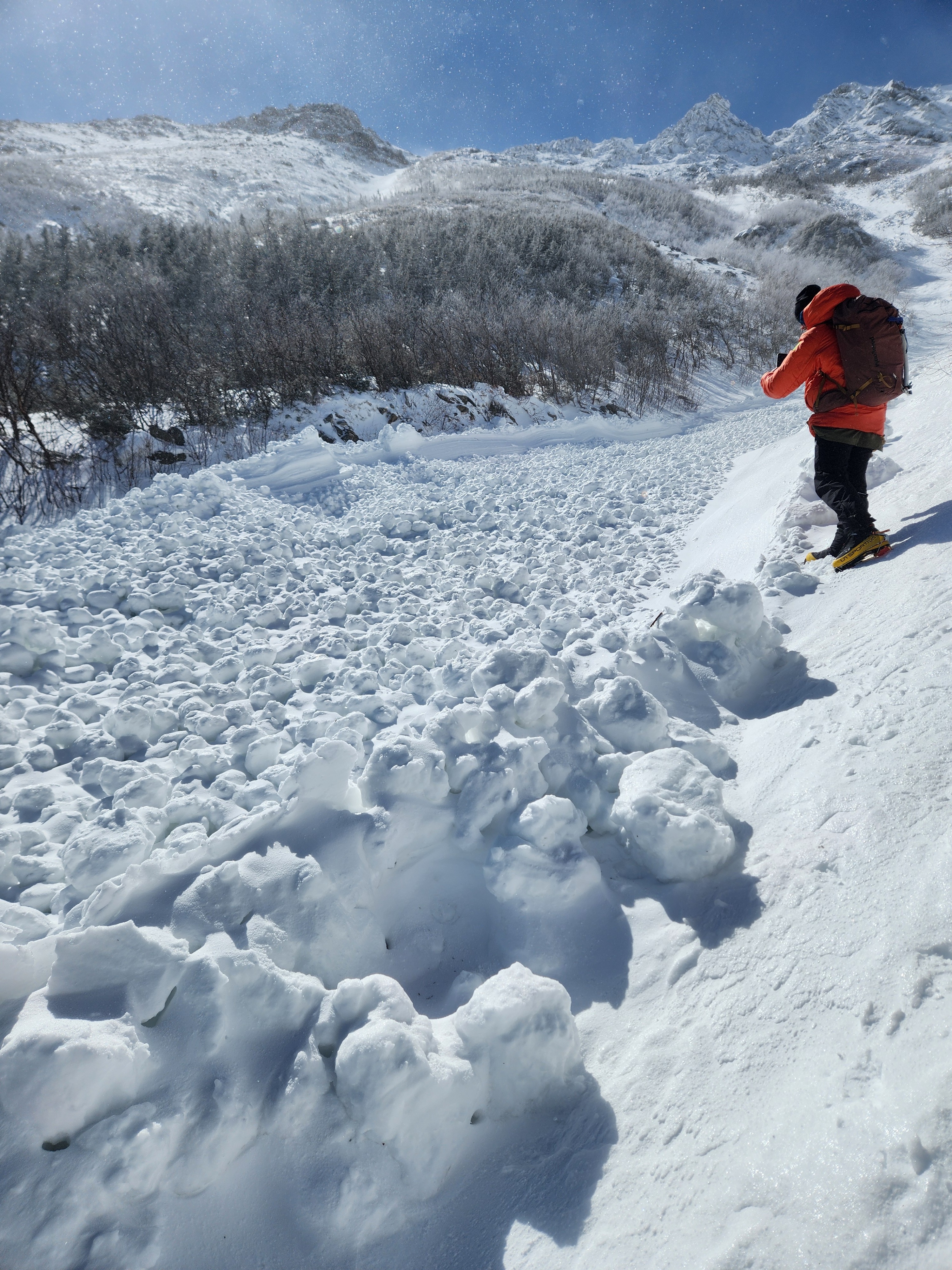
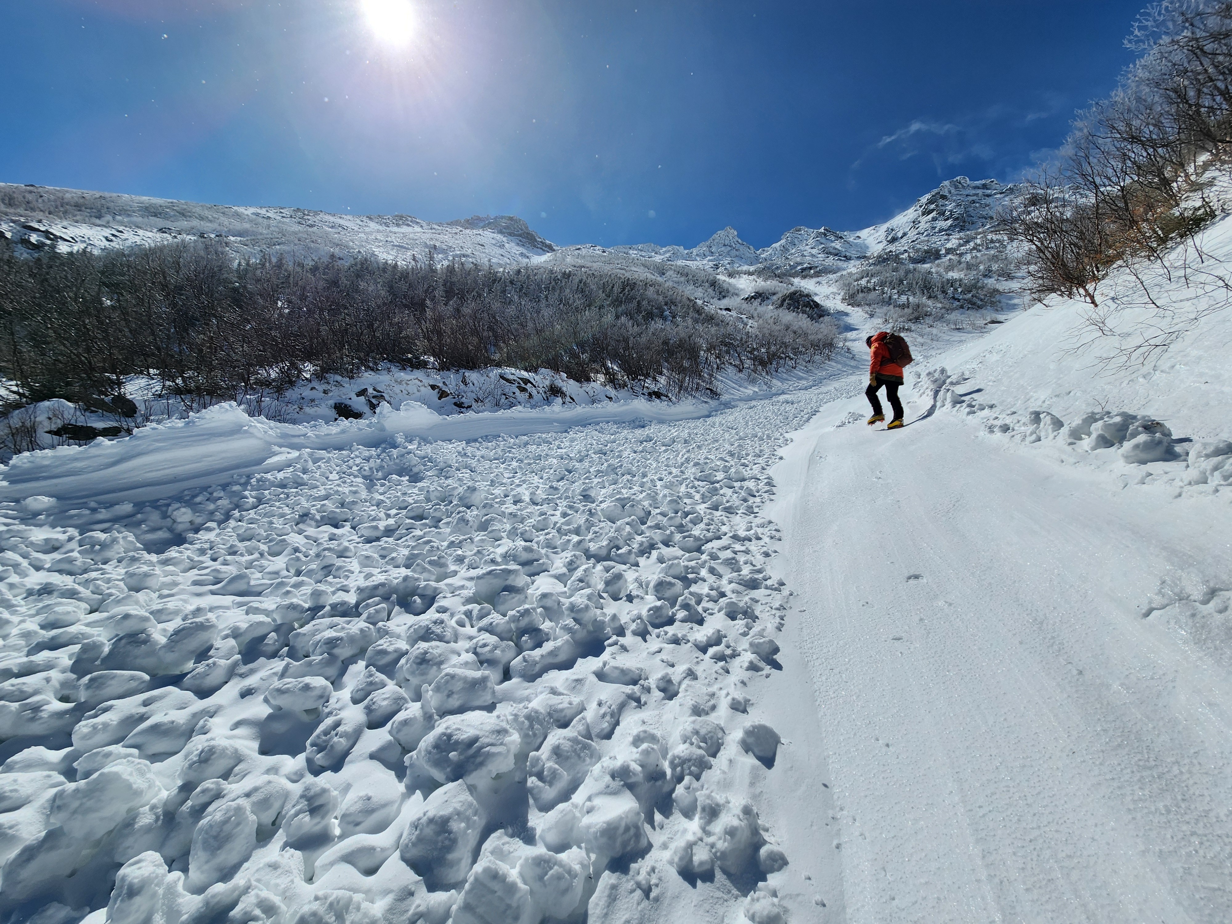
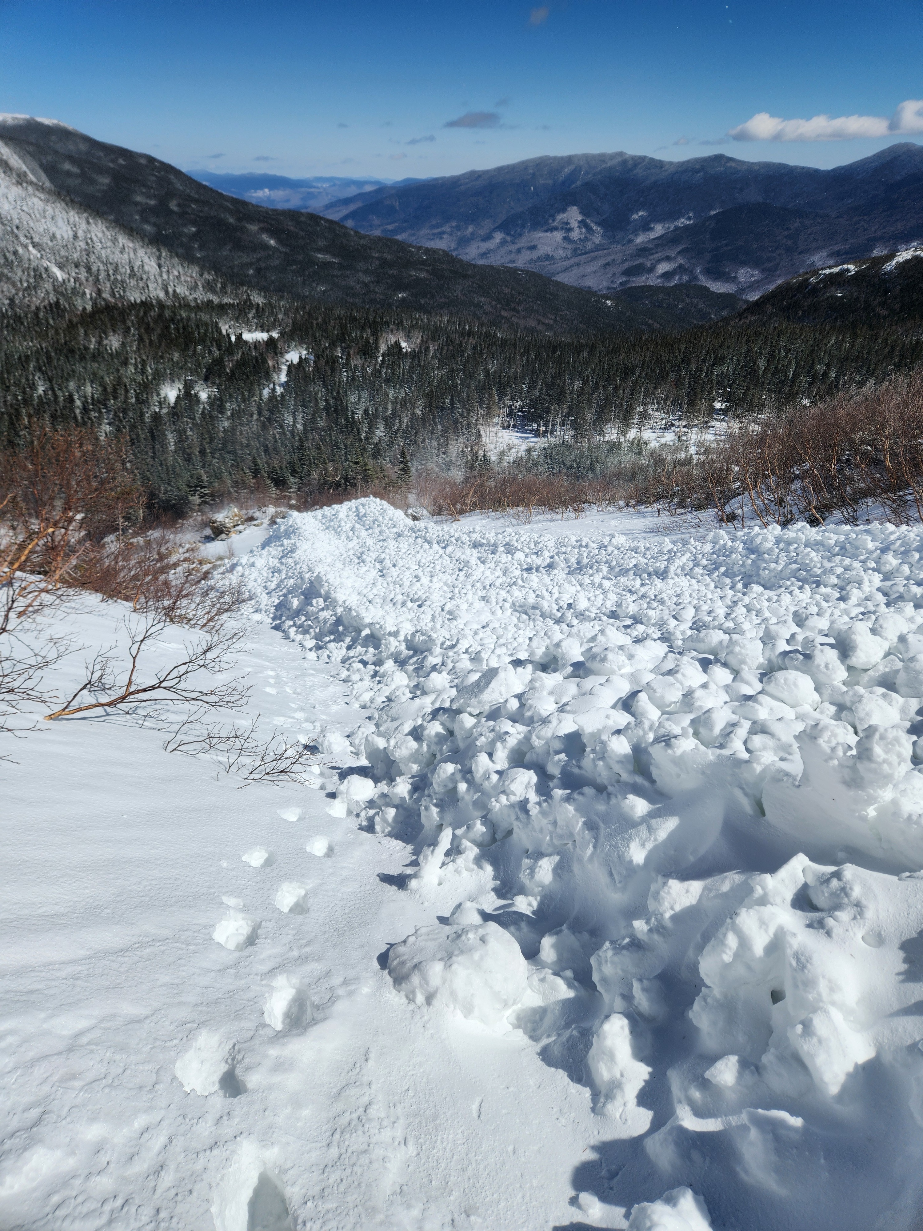
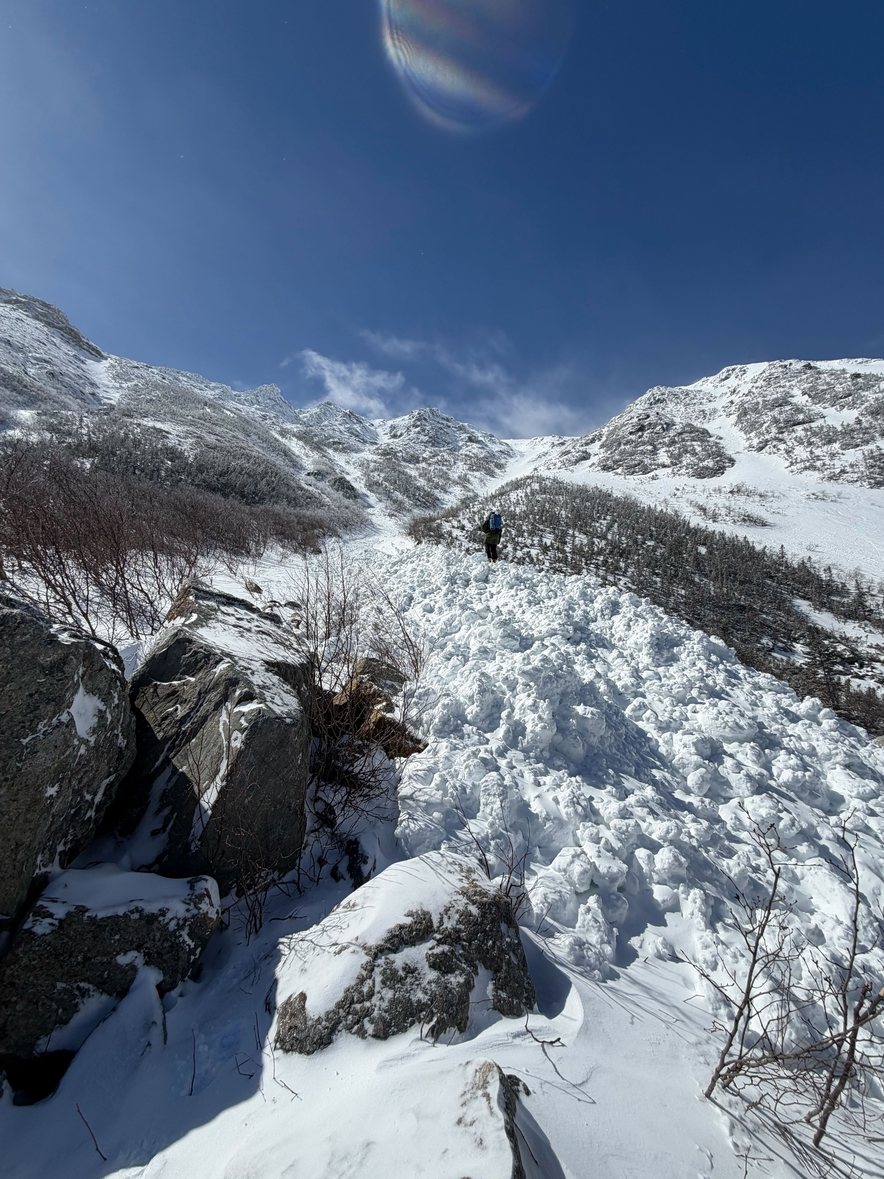
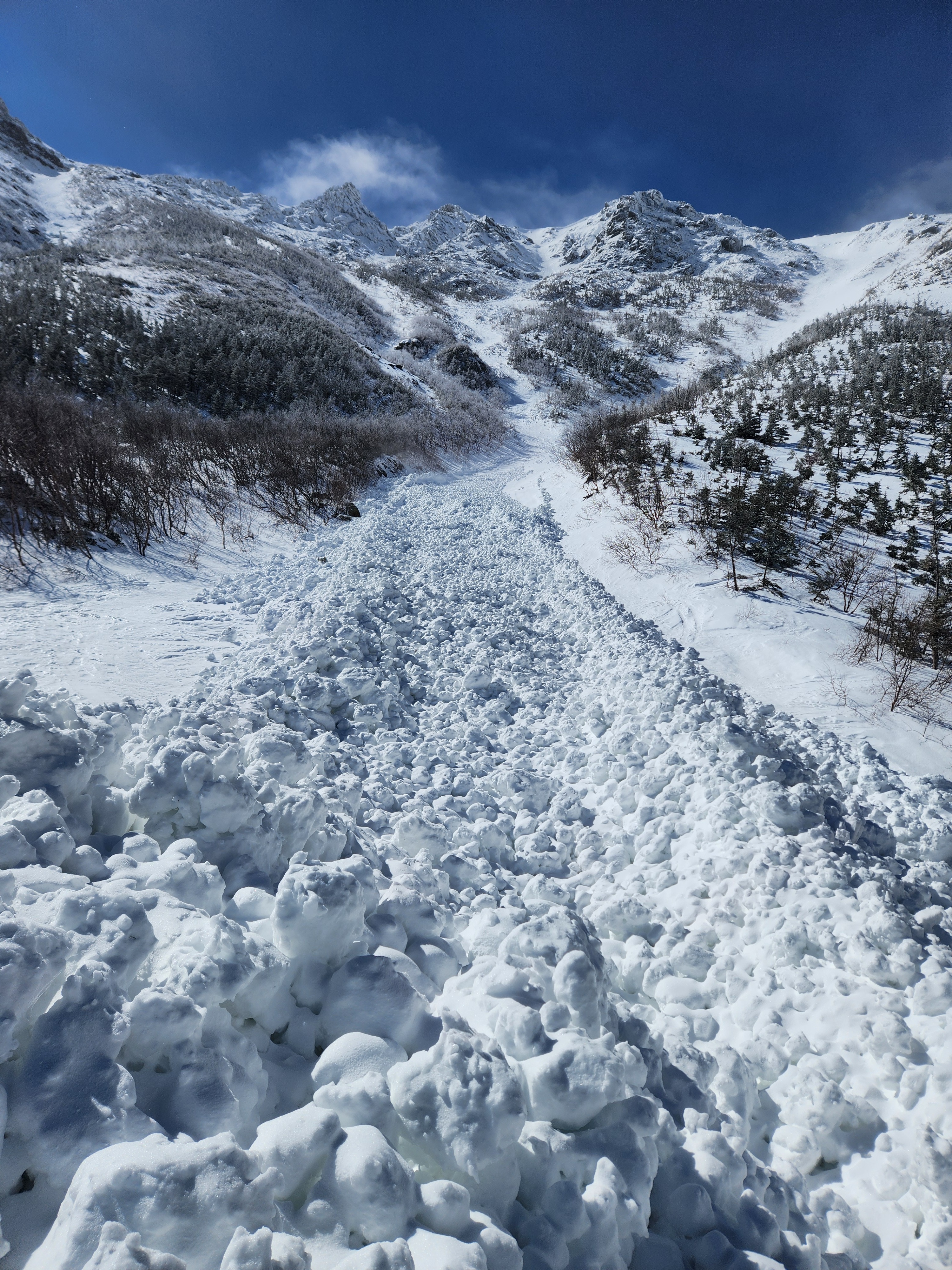
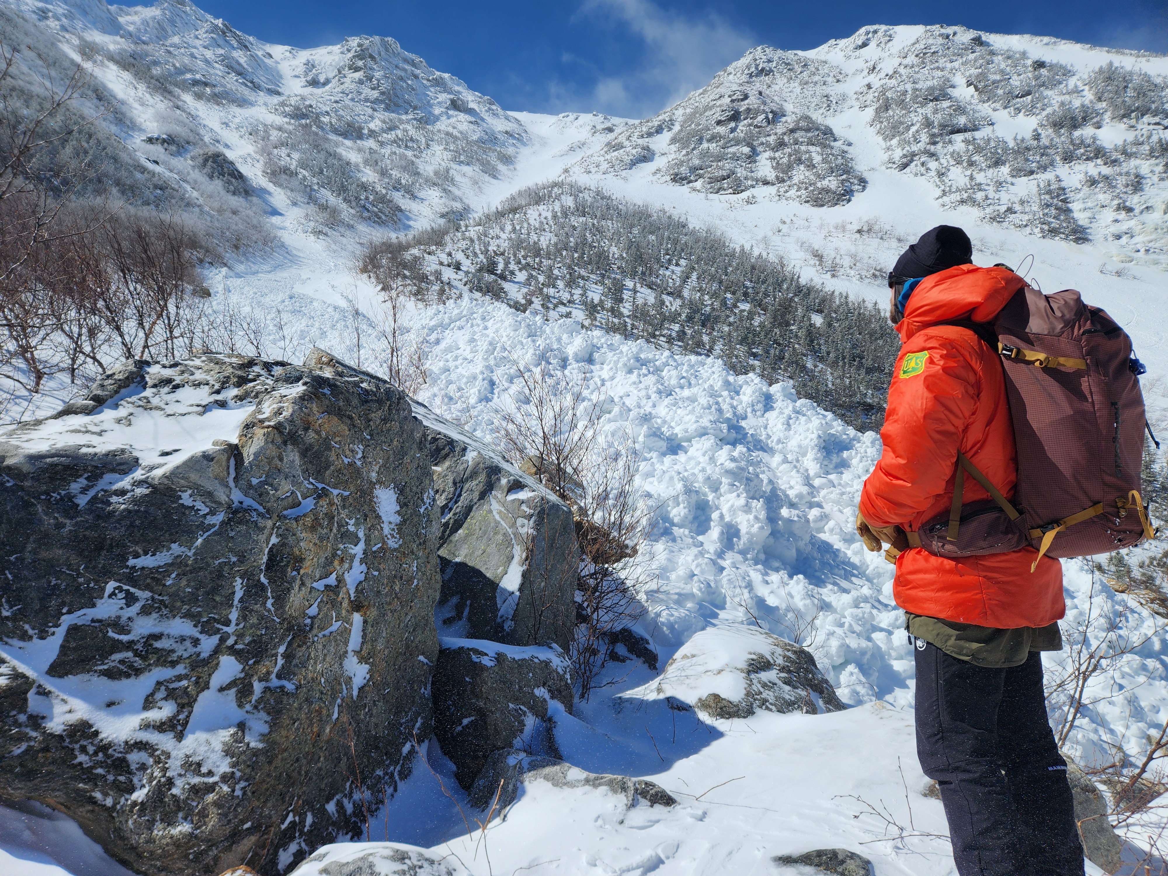
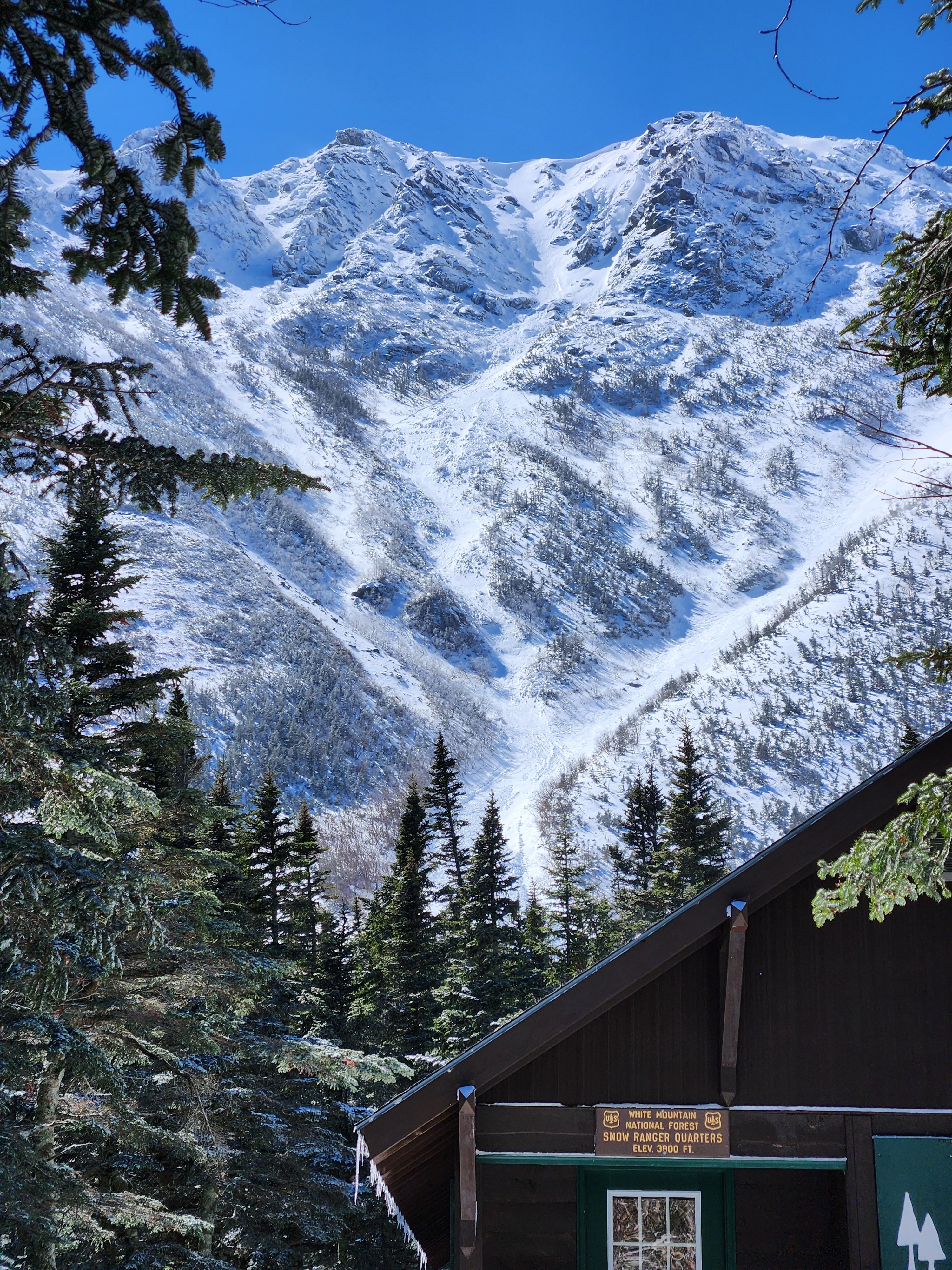
A large, natural wet slab avalanche was observed in Dodge's Drop which likely occured sometime yesterday during a period of warming temperatures at upper elevations. See the avalanche description for more info.
Weather
- Air Temp
- 20
- Cloud Cover
- few
- Wind Loading
- light
- Recent Snowfall
- Trace
- Snow Avail For Transport
- small smounts
Skies were mostly sunny, winds were strong and temperatures were decreasing through the day.
Avalanche
- Size
- D2.5 R3
- Type
- WS
- Aspect
- NE
- Trigger
- N
- Elevation
- 5300 ft
Large wet slab avalanche from the top of Dodge's Drop. Avalanche appears to have started as a slab, entraining all soft snow in the path above the 3/18 rain crust. A cornice collapse appears to have triggered the upper slab, but this is unconfirmed. Debris pile was roughly 20 x 25 feet with a depth of 8 feet connected to a shallower and longer debris pile uphill roughly 25 feet by 200 feet with an average depth of 3 feet. A rough estimate of total mass is 250 tons.