
Quick report
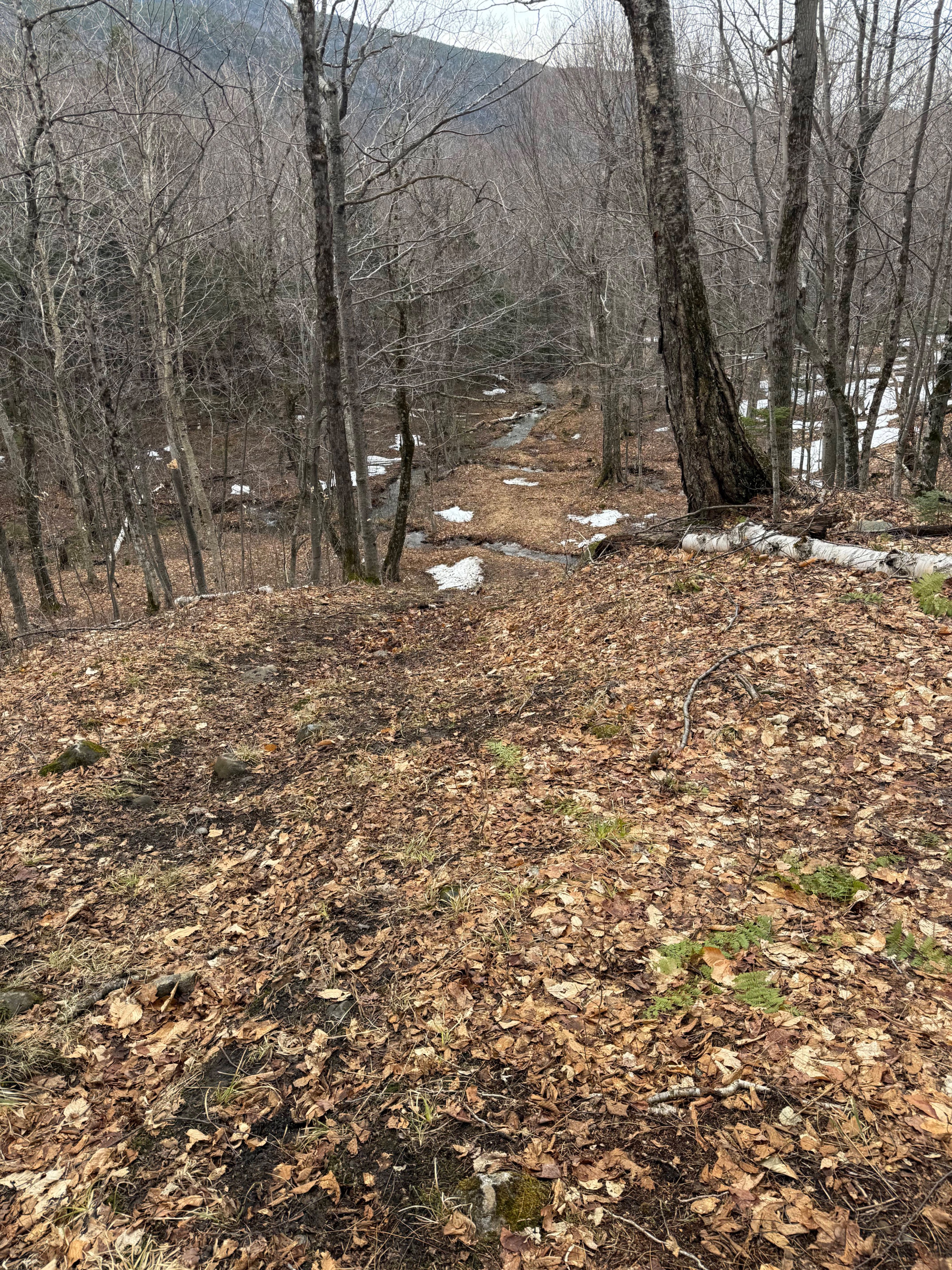
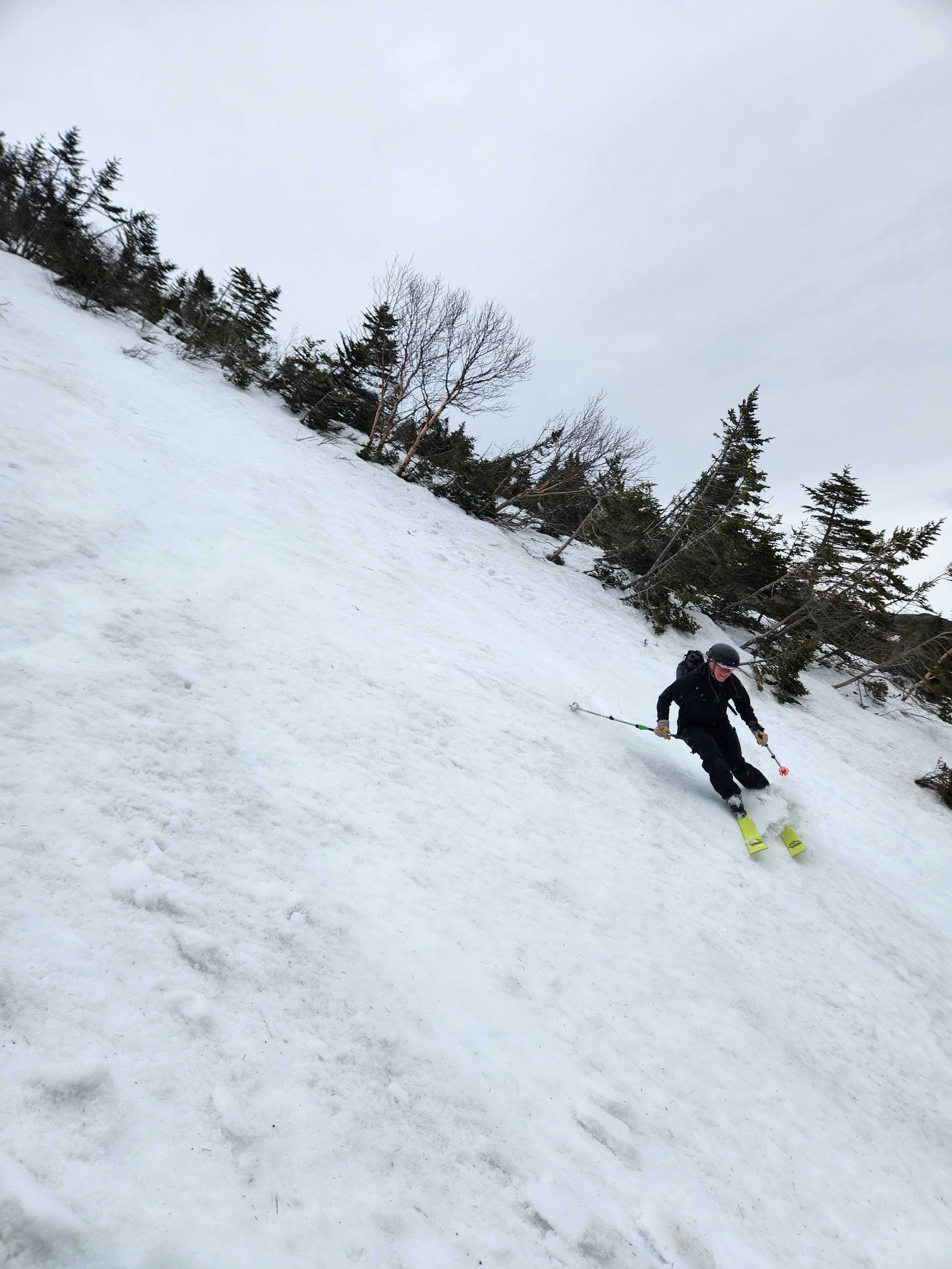
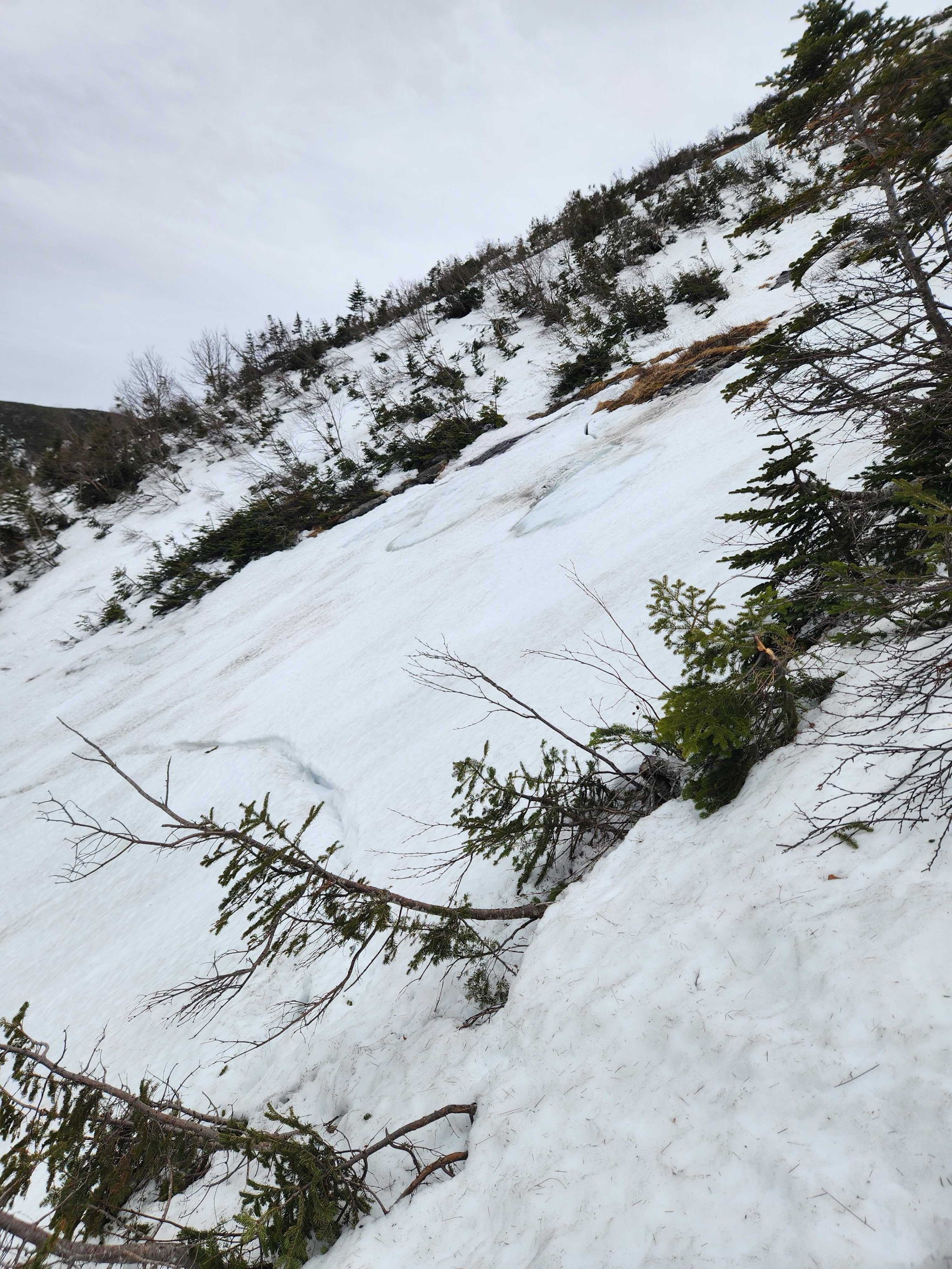
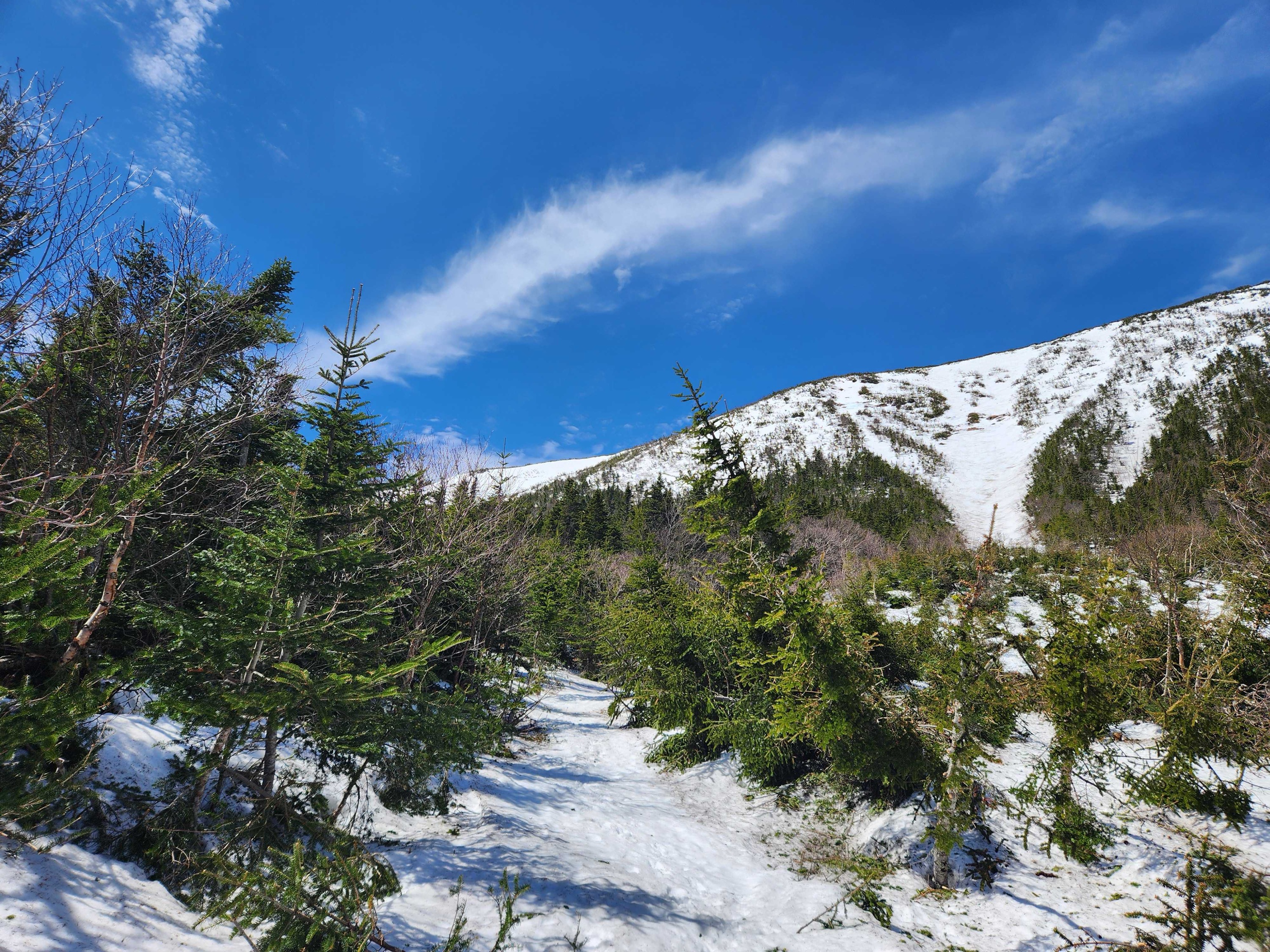
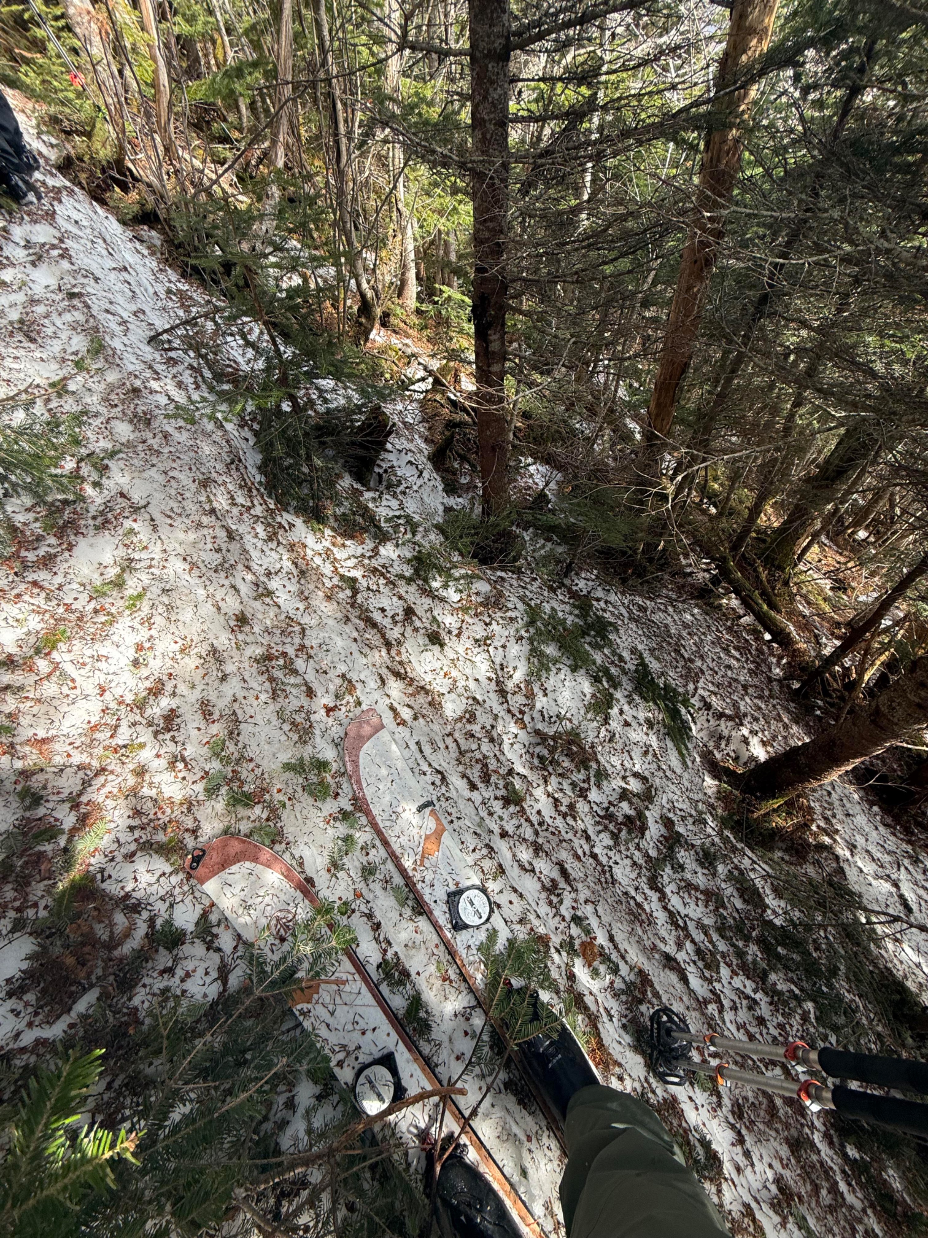
After multiple days of rain and warm temperatures, the snowpack we found was very spring-like and showed evidence of the associated hazards. We got out prior to the rain beginning Tuesday afternoon, so the snow has likely seen further deterioration. The Gulf of Slides trail below the junction with the Graham trail is almost entirely impassable on skis, with a large amount of water flowing down the trail. Near the junction with the Graham trail, the coverage improves, and it was possible to skin from that point up to the base of Main Gully. The gully retained a fair amount of snow, but numerous glide cracks crossing the slope had undergone freeze-thaw cycles. Although unlikely that these cracks constitute a significant avalanche hazard, they are an obstacle to avoid when moving up or down and could certainly catch the tip of a ski or snowboard. The choke in Main Gully is undermined, with running water flowing over rocks. While bootpacking up, the soft surface snow sat atop a firm melt-freeze layer, and crampons were necessary to move safely upward. In one section, boot penetration increased quickly from 4 inches to over a foot. A few feet higher, we could hear water flowing underneath the snow. Significant changes in boot penetration may be an indication of undermining and should be assessed carefully. Although the snowpack is more stable from an avalanche standpoint, safe travel will require looking, listening, and feeling as springtime hazards may not be as obvious as areas of drifted snow are in the mid-winter. The snow surface varied over the vertical extent of the gully, with firmer snow at the base, potentially due to previous avalanche cycles. After descending to the Graham trail junction, we removed skis and elected to hike across rather than skinning. Coverage is variable on the trail, and the snow has formed a monorail of supportable snow flanked by soft snow. Postholing is almost guaranteed. It’s possible to skin the second half of the trail (if approaching from GOS) to meet up with the Sherb. Coverage on the Sherb is thinning quickly and the trail closure will likely be moved higher in the coming days as the damage of this warm and wet weather pattern is realized. Although a general bulletin is in effect, wet loose avalanches remain possible, and an upcoming cold snap next week may bring back mid-winter avalanche hazards. Crampons, an ice axe, and the skills to use them should be considered necessary gear at this time.
Weather
- Cloud Cover
- few
- Wind Loading
- none
- Recent Snowfall
- 0
- Snow Avail For Transport
- none
Intermittent sunshine and unseasonably warm temperatures. Very light and infrequent rain started around 1pm and became more consistent around 3pm, without getting much heavier by 4pm.