
Quick report
- Cracking
- isolated
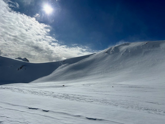
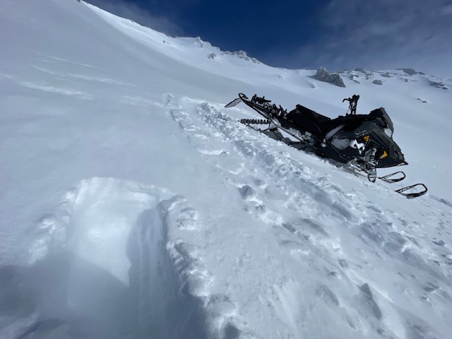
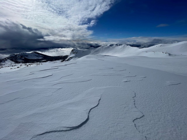
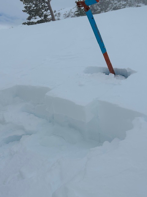
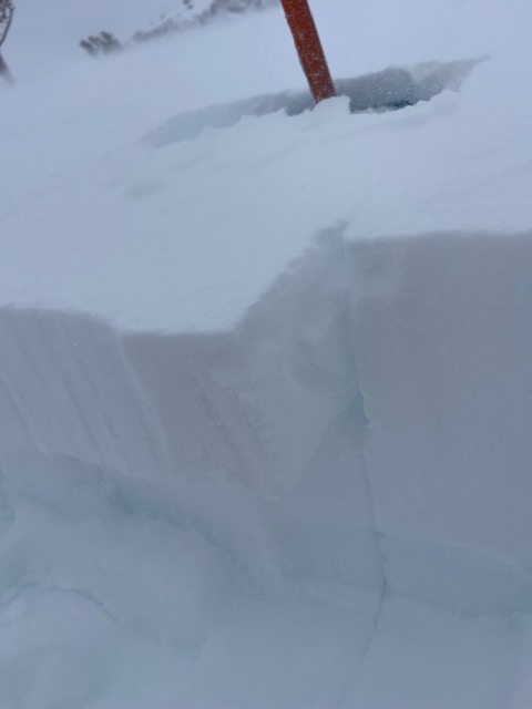
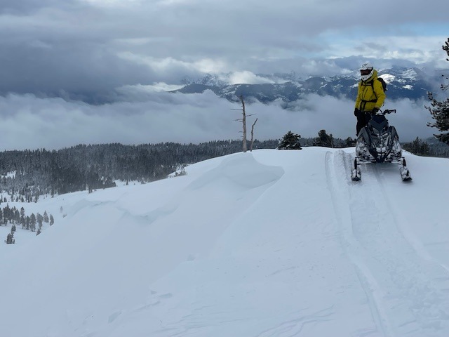
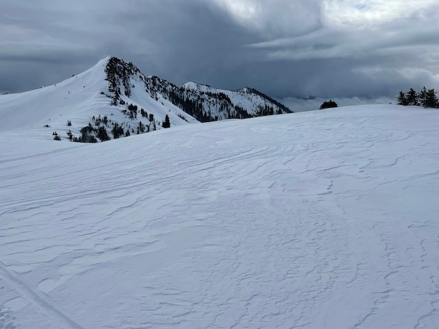
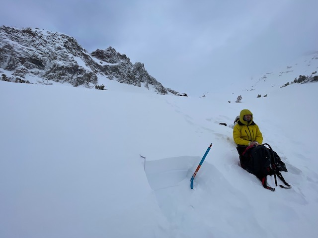
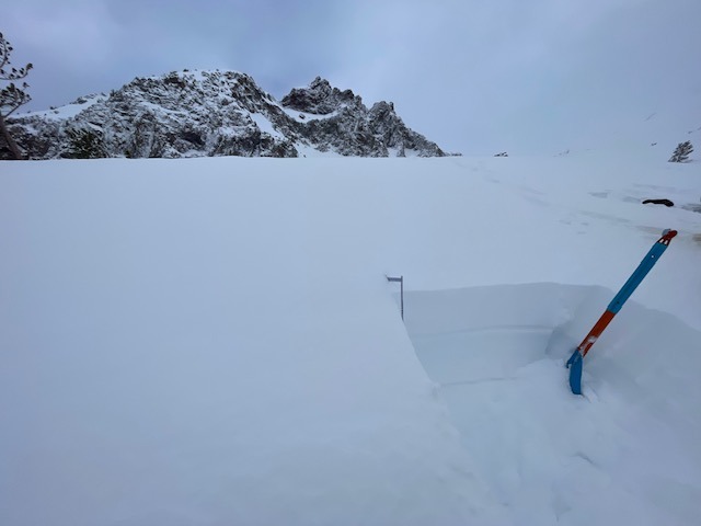
Northwesterly winds are transporting new snow, creating isolated slabs and cornices on S-SE-E slopes near and above treeline. These features are easy to trigger but not large enough to bury a person, though steeper or larger terrain could increase risk.
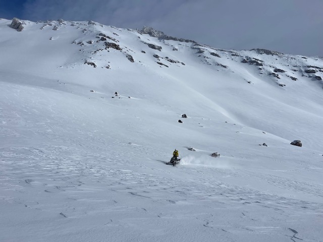
Cornices along ridgelines and small wind slabs were touchy today near and above treeline on leeward south, southeast and east aspects.Weather
- Air Temp
- 23
- Cloud Cover
- scattered
- Wind Loading
- moderate
- Rain Elevation
- ~8,000
- Recent Snowfall
- 5-25
- Snow Avail For Transport
- moderate amounts
Overnight rain transitioned to snow early this morning, leaving 3–5 inches at lower elevations and 5–10 inches higher up. Precipitation ended around 10 a.m., followed by clear skies, with a brief shower in the late afternoon.
Snowpack
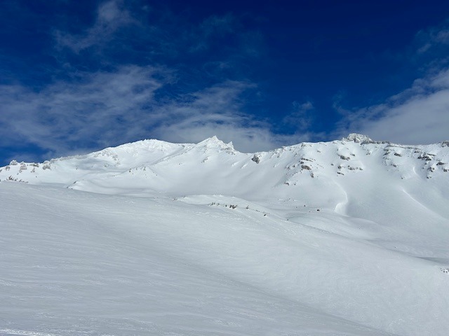
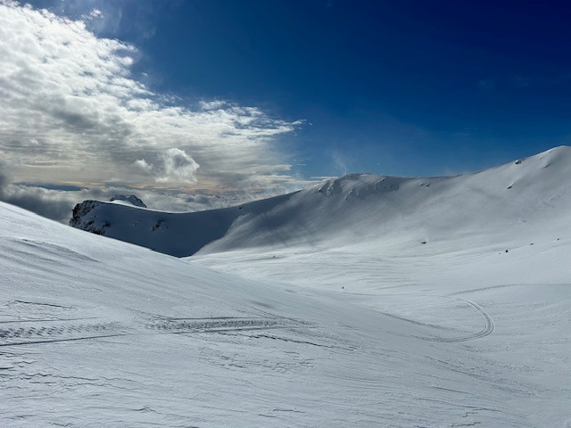
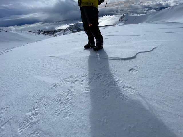
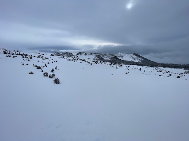
The overnight rain on snow is not a concern. Fresh snow from early morning is soft and prone to wind transport, forming small wind slabs and cornice features. Below treeline hosts uniform snow coverage. Near and above treeline, expect scoured, firm surfaces to windward; softer snow exists in gullies and depressions and leeward south, southeast and easterly slopes.
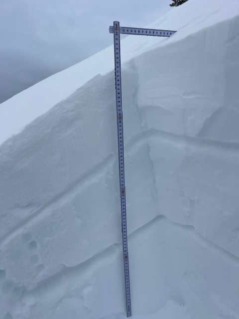
Near treeline in the Old Ski Bowl, 80 inches of snow is on the ground.
Avalanche
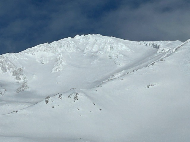
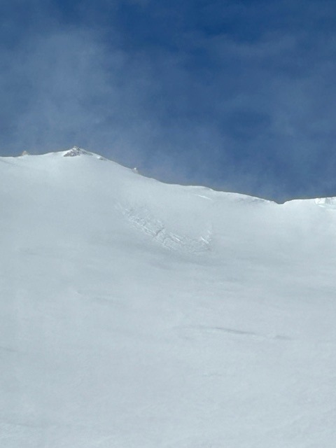
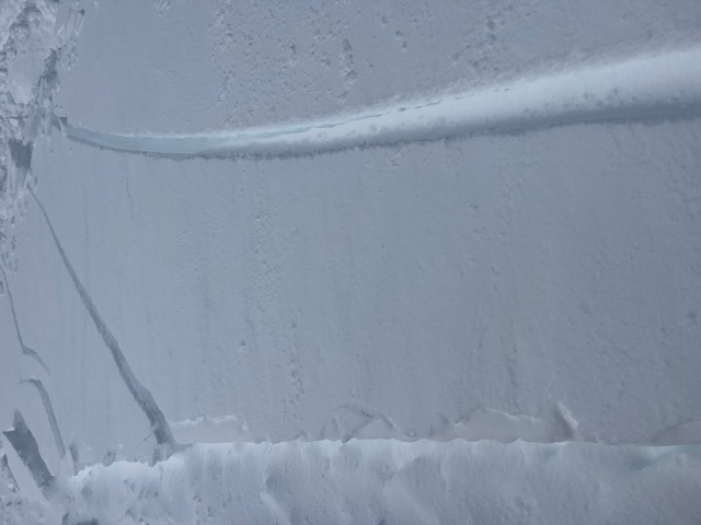
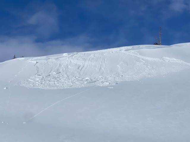
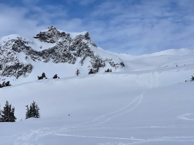
Observed one small (D1) natural avalanche off the leeward, easterly aspect of Green Butte Ridge, above treeline, ~9,000 feet. See photo