
Quick report
- Aspect
- North
- Red Flags
- Rapid Warming
- Elevation
- 2134 m
- Slope Angle
- 34°
- Red Flags Comment
- <p>Warming is my primary concern in this low elevation (by Tusher standards) area.</p>
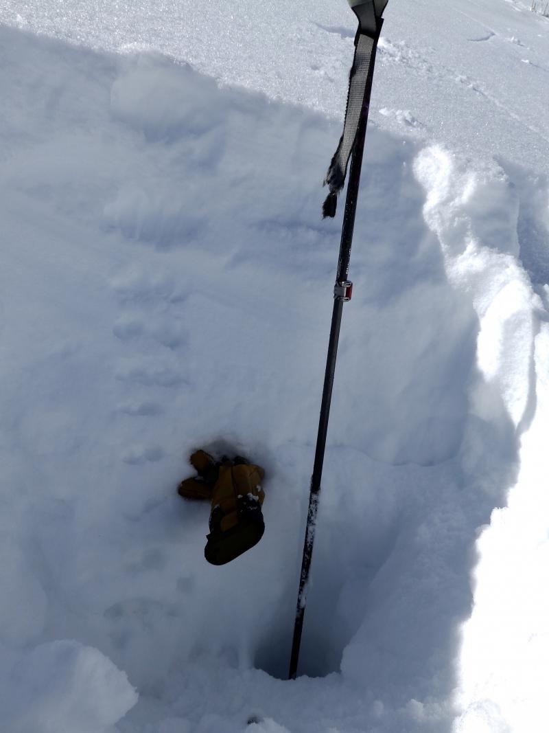
Overall an impressive snow pack for 7000' in SW Utah, I assume it will not be like this very year! No significant basal facets, 4" or so of damp rounds, overlain by a solid mid pack. HS 100 cm, The glove marks the location of a knife hard 6mm rain crust that is decomposing. ECTN, the column eventually fell apart. Ski pole is sitting on the ground.
Photo below, surface hoar.
Photo below, some roller balls while skiing through a slightly damp layer of surface hoar. Less activity than expected.
And now, as Paul Harvey would say: The rest of the story: I went looking for terrain along the I70 corridor and to get a look at the big north faces of the Tushers, wound up skiing some laps on an I70 road cut, above an exit parking area (not the highway itself) ! I was glad it did not slide because Bill Nalli (UDOT) once told me not to start avalanches above the road!
I was impressed by the depth and stability of the snow pack in this area. I am calling this area as part of the Tushers since it is on the south side of I70. Pahvants are the north side of the road.
The nearest snotel site is the Kimberly Mine located appro. 3 miles north at 9100', HS is 53 inches. I did not observe any sled activity heading into the high country in this area.
Snowpack
- Instability Comment
- <p>Moderate to perhaps considerable hazard, I tend to overshoot on this hard to predict hazard. Saw some wet activity on road cuts in Clear Creek Canyon on south aspects, nothing major but still getting to the road.</p> <p>Although I did not ski through any area containing major slabs, by the looks of wind activity a bit higher, I assume they exist.</p> <p>Moderate hazard.</p>
I would call the surface facets and damp facets. Only the upper couple of inches were damp, most of the snow pack remained dry. Photo of surface hoar below. Some rollerballs caused by skiing also shown below.