
Quick report
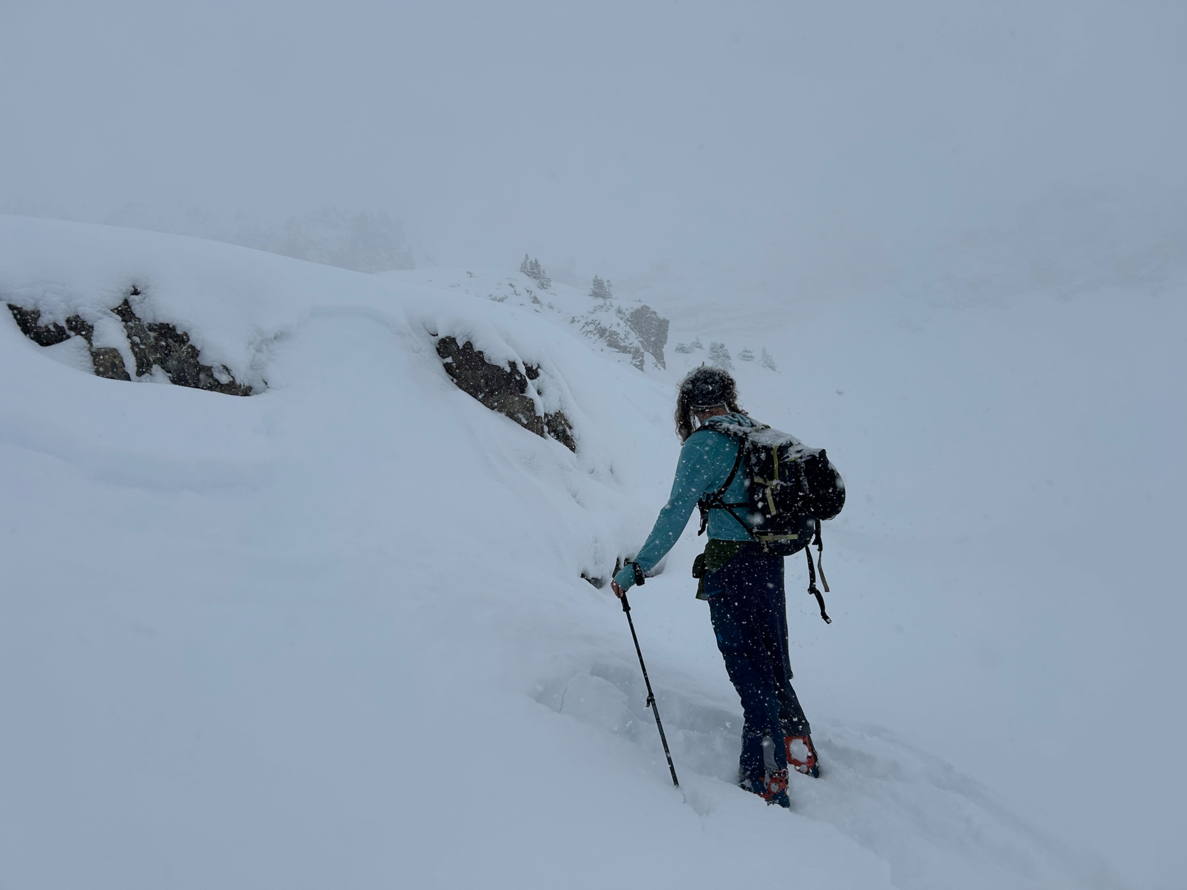
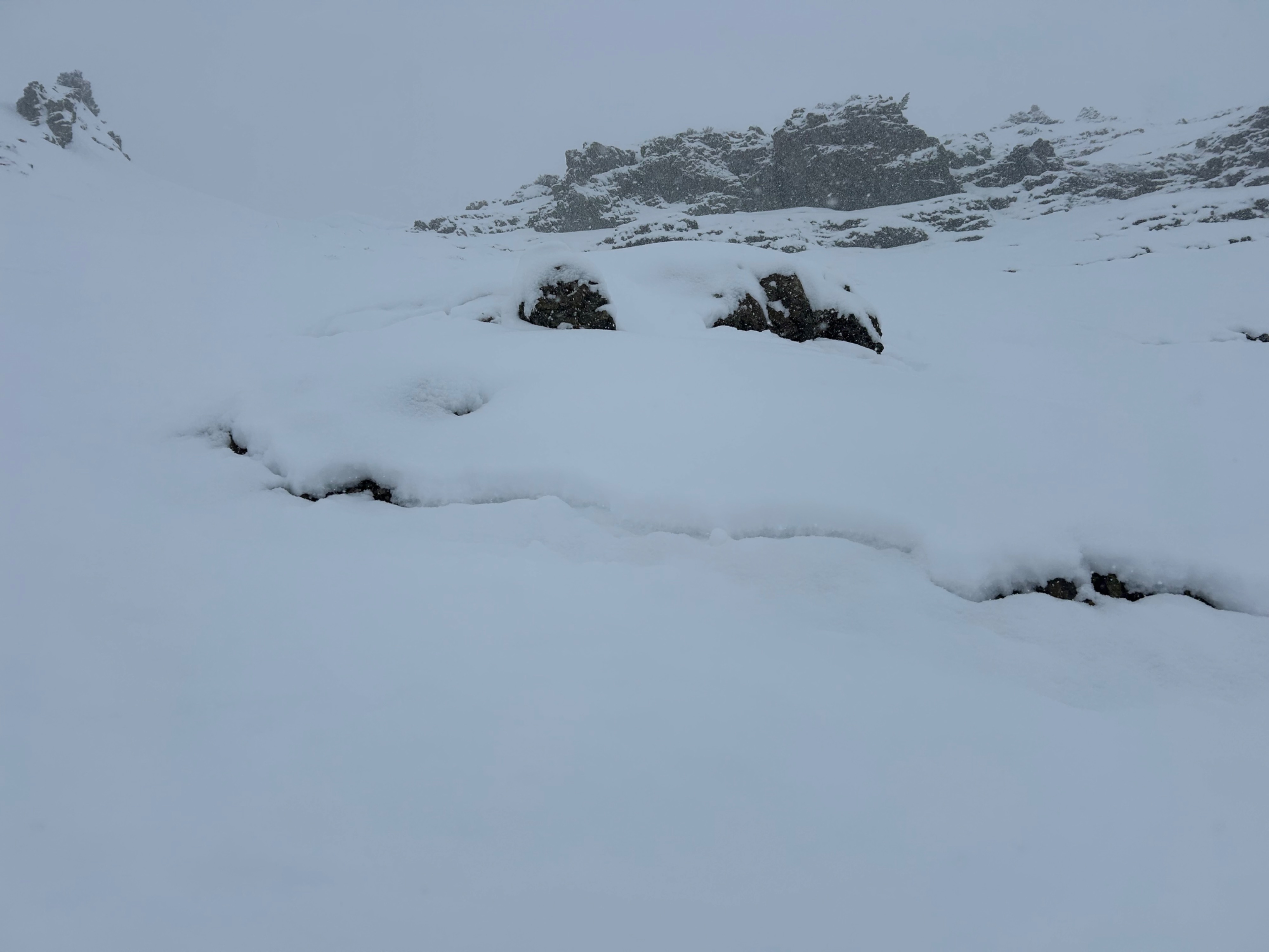
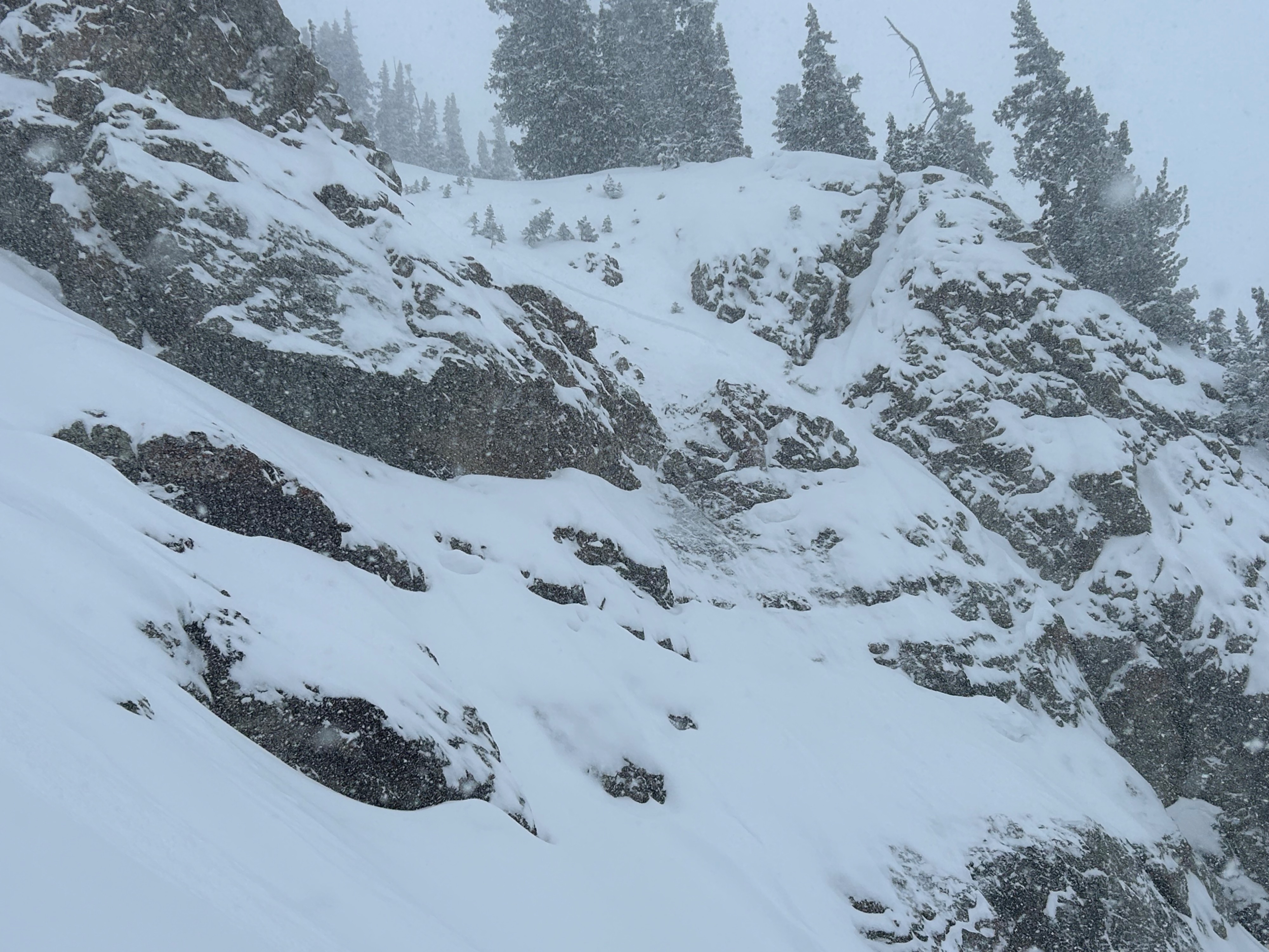
Storm totals significantly exceeded the forecast here and the danger increased through the day with small natural storm slabs releasing on the fragile storm interface after about 6" of new snow accumulated. The new snow was very low density, but was still failing as a slab, which highlights how fragile the facets below it are. The slabs we observed were all very small on small terrain features; they would be more dangerous in steep, long-running terrain where they entrained more snow and the weak facets below. Everywhere steep that we traveled on east and west was old weak bedsurfaces below the new snow; ski pen was knee deep basically to the ground through fist hard new snow and fist hard facets. Southeast and southwest aspects held a stronger crust at the storm interface that appeared to be less reactive.
Numerous shallow soft slabs released naturally on the storm interface and we skier triggered similar instabilities and sluffs. Minor cracking underfoot.Weather
- Cloud Cover
- overcast
- Wind Loading
- light
- Rain Elevation
- N/A
- Recent Snowfall
- 30
- Snow Avail For Transport
- large amounts
A Ruby Range surprise! Moderate snowfall (S3) with periods of heavy snowfall (S5). By 3 p.m., storm totals were 12" at 11,500' and 6" at 10,500' of very low density snow. Light west winds at ridgetop and on exposed west facing terrain. Elsewhere, calm winds.
Avalanche
- Size
- D1
- Type
- SS
- Count
- 6
- Aspect
- NE
- Trigger
- AS
- Elevation
- 11000 ft