
Quick report
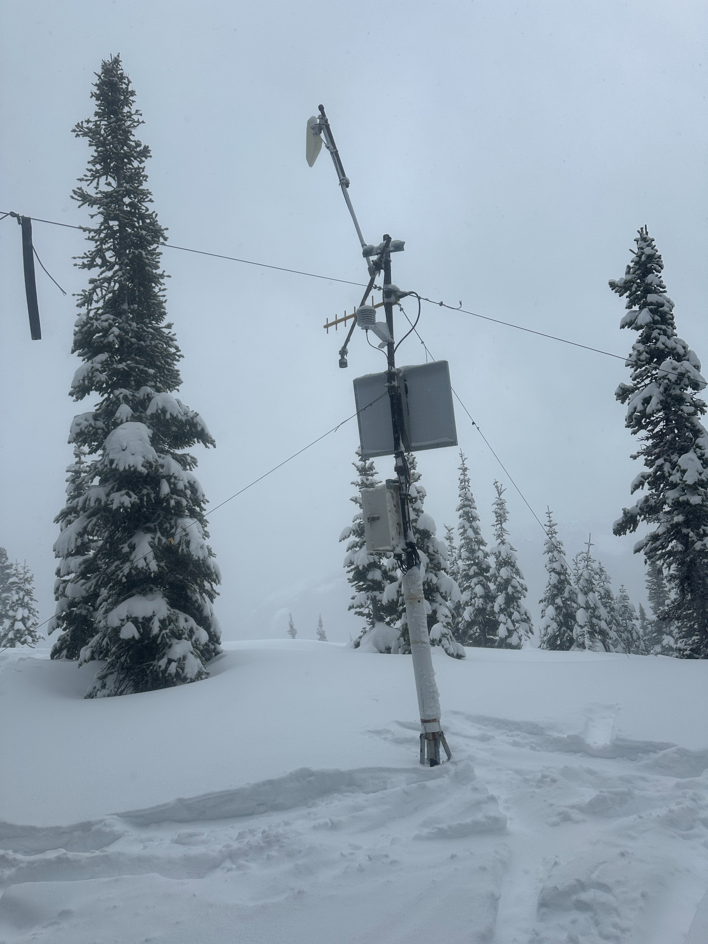
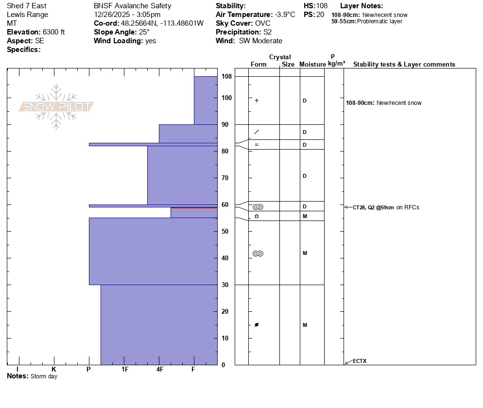
• No avalanches observed, but visibility was very limited. • Very thin snow coverage until about 5500’ with snow depths ranging from 5-10”. • Snow depths increased quickly above 5500’ and ranged from 15-55+”. • Above 6000’ there was about 4-6” of new snow with plenty of wind transport due to the moderate to strong SW winds. • No signs of instability observed but kept to mostly sheltered and low consequence terrain. I’m sure there was a developing wind slab problem above my high point and in more exposed terrain. • Dug snow pit just above the Shed 7 East avalanche path at 6300 on an ESE aspect. Snow depth was 43” and consisted of mostly right side up and stable snow. Found the same layer of moist rounding facets on top of the early Dec. crust that we observed on Tuesday (Dec. 23) in Shed 10.7. More details in the snow pit profile.
Weather
- Cloud Cover
- overcast
- Wind Loading
- intense
- Recent Snowfall
- 10-15
- Snow Avail For Transport
- large amounts
• Full on wet and windy storm day with overcast/obscured skies and snowfall rates up to S2 for brief periods. • SW winds picked up in late morning creating blizzard conditions and heavy wind loading above 6000’. • Daytime high temperatures climbed just above freezing on the Canyon floor but remained in the mid to high-20s °F up at 6400’.