
Quick report
- Cracking
- Observed
- Collapsing
- Observed
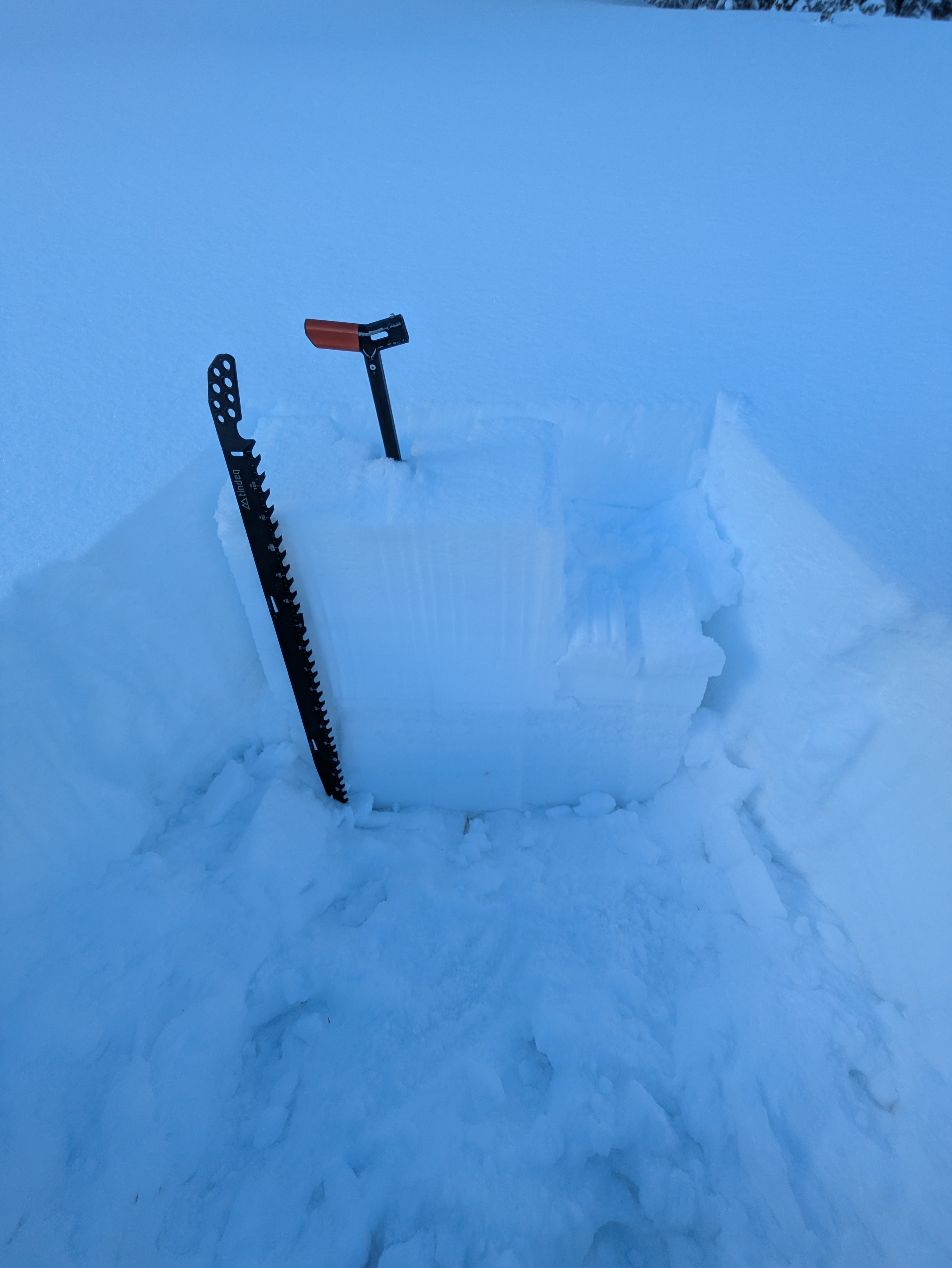
This was a walk to look at some snow and make some soft turns. At 7,000', all of the snow on the ground is from the past two weeks. By 8,000' there are sizable pockets of older snow, and by 8,500' old snow is widespread on shaded aspects. As you gain elevation, it quickly changes from thin and scratchy conditions to a widespread, complex, variable 2-3 foot-thick snowpack. The slab of recent snow sitting on the mid-November drought/rain crust is growing in size and beginning to make its presence known. This slab is currently 14-18" thick, and mostly quite soft (in sheltered terrain). I experienced a number of collapes that seemed to involve this layer. These collapses were more common in sheltered or gently wind-affected terrain. The largest collapses I triggered involved areas of snow the size of a basketball court. Snowpack tests produced variable results, with some ECTs propagating crisply and other tests producing ECTN results on the same layer. This layer is becoming a problem and will be able to make avalanches with a more significant slab of snow on top. The most recent snowfall fell mostly without wind, providing some nice surface conditions. Unfortunately, wind speeds were increasing significantly by sunset and lots of snow transport and redeposition were occurring. Conditions were changing rapidly when I exited the field at sunset. I experienced a handful of relatively quiet, muffled collapses above 9,000' in both sheltered and wind-affected terrain. Some of these produced visible cracks on the now surface and others did not.
Weather
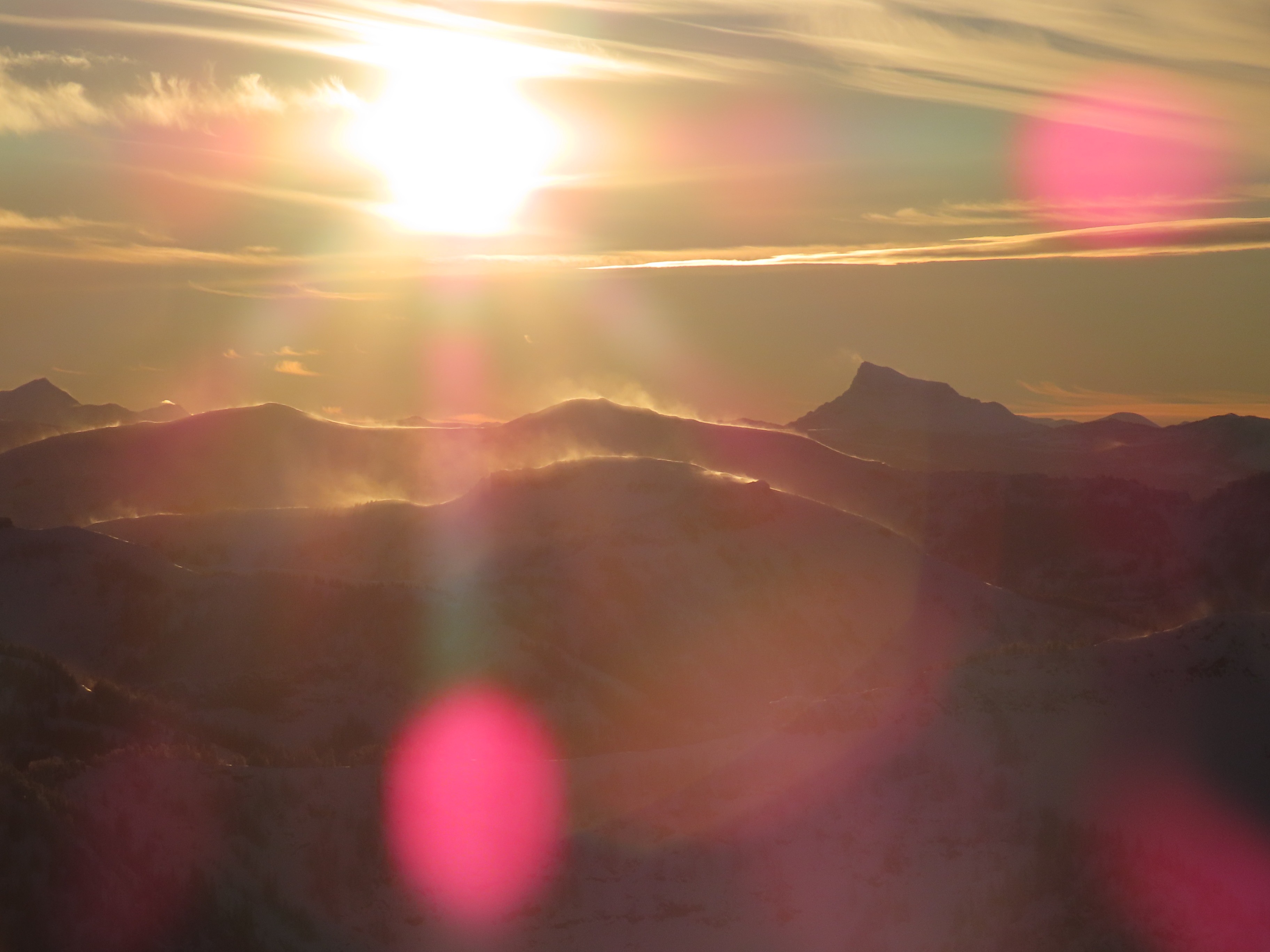
Air felt cold all day. About 6 inches of new snow at reservoir level, increasing to 8+ inches in upper elevation terrain. Lots of sun with some intermittent mid-level clouds. W/SW winds were calm to light earlier in the day, increasing to moderate by sunset and moving plenty of snow. I could see large amounts of snow in the air looking west towards the Madisons.
Snowpack
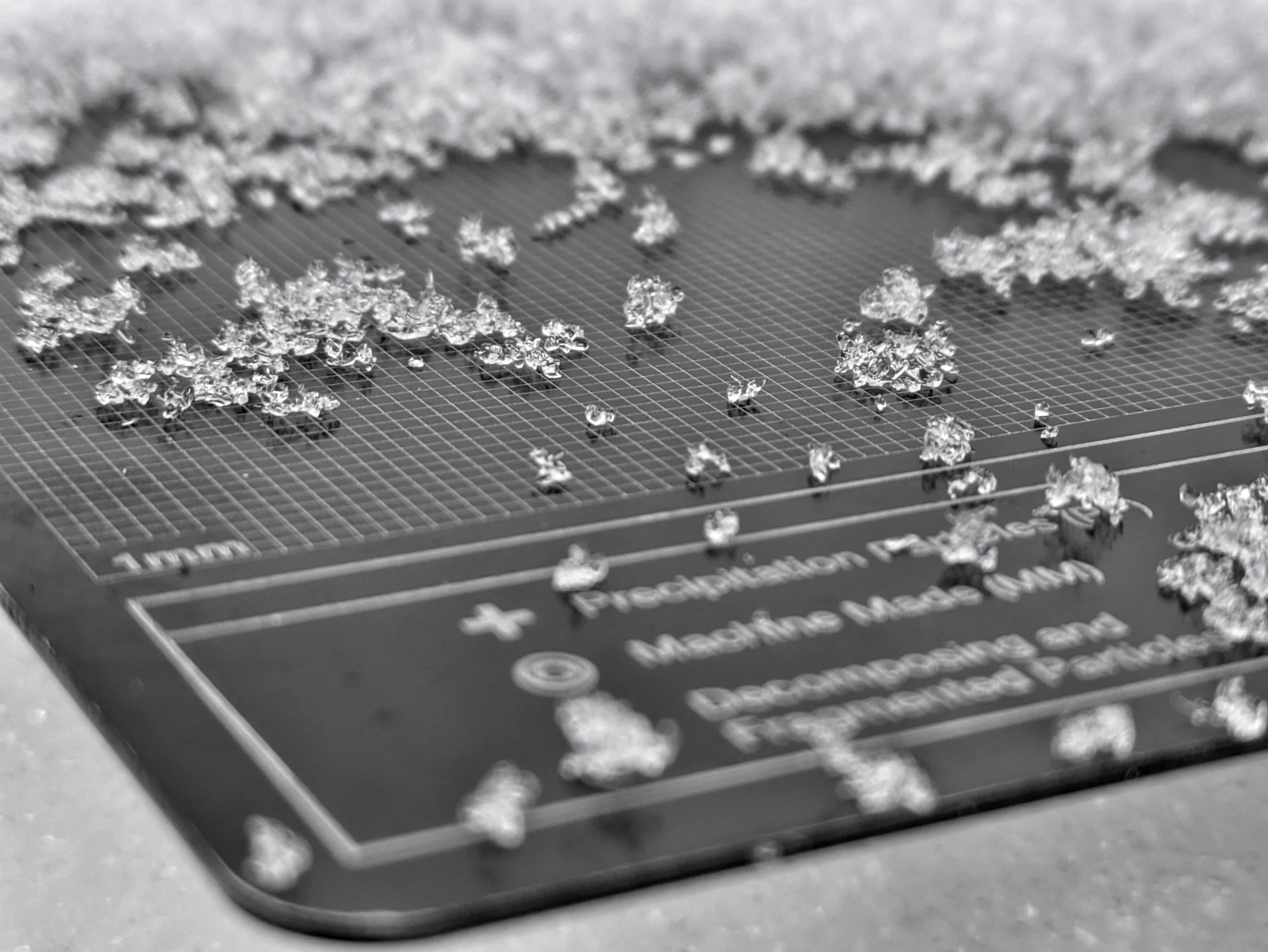
Basic set up: new snow from storms over the past two weeks is sitting on a variable layer of crusts with facets sandwiched in between. The nature of this mid-November layer changes significantly with elevation, particularly between about 8,500 and 9,500', thanks to high rain lines from earlier storms. There are also some layers apparent within the upper snowpack that formed during breaks in precipitation over the past two weeks. I found some spotty surface hoar at these layers, as well as a thin and subtle but widespread rain crust with small facets adjacent that formed right before/during last week's strong cold front.
Avalanche
Observed avalanches refers to numerous small, dry loose avalanches that involved the latest snowfall. Many of these occurred when the sun came out today.