
Quick report
- Collapsing
- specific
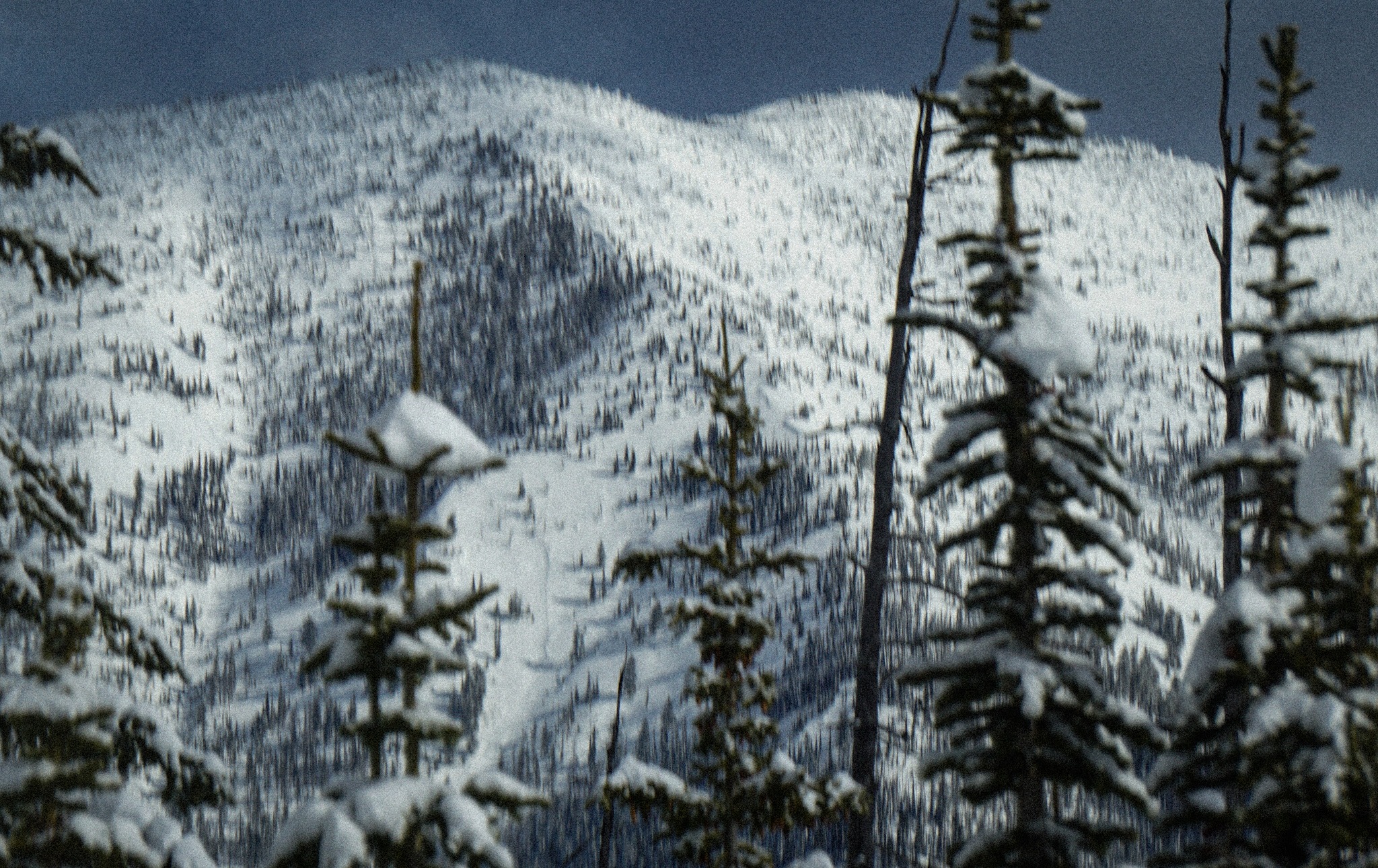
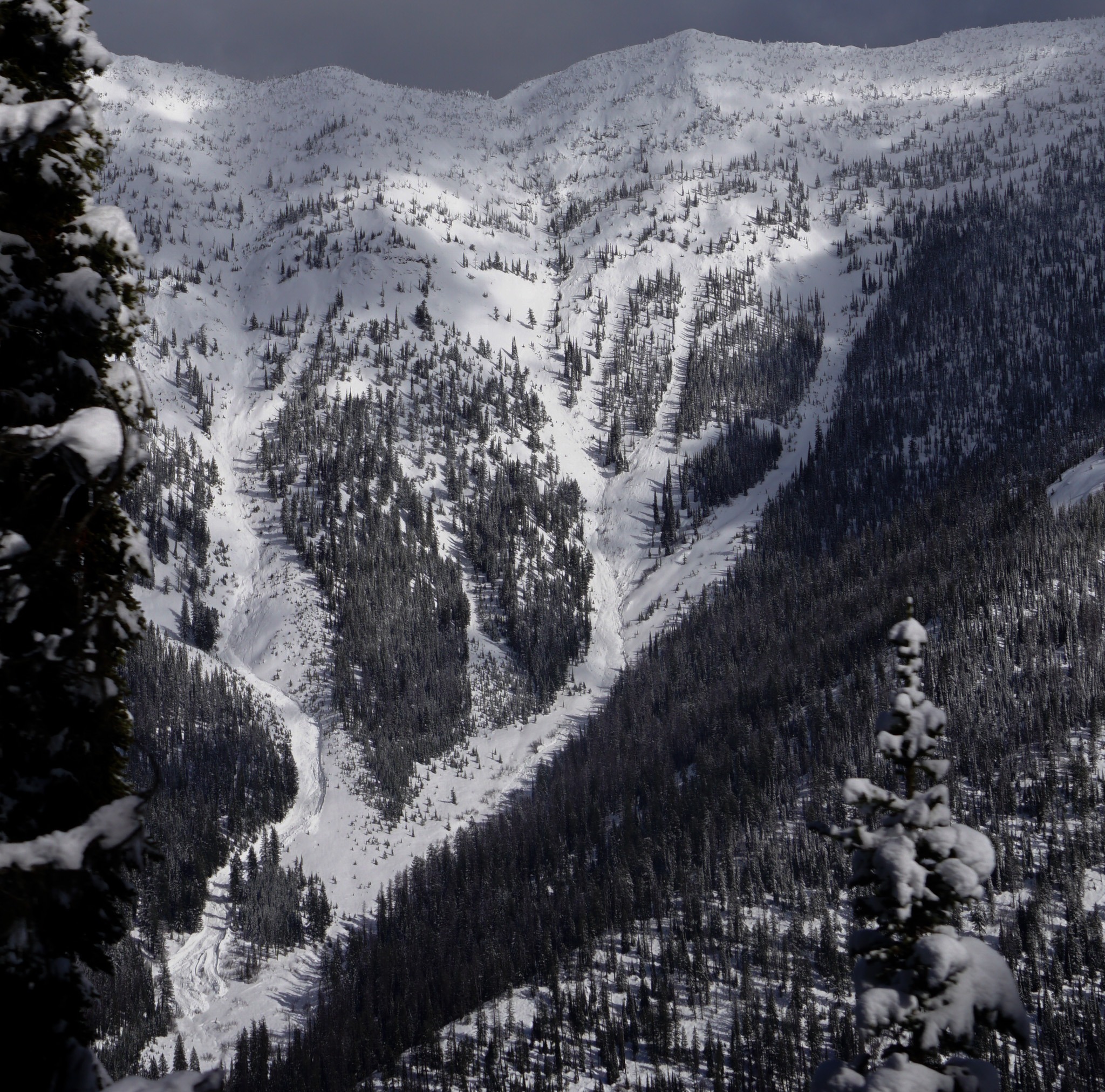
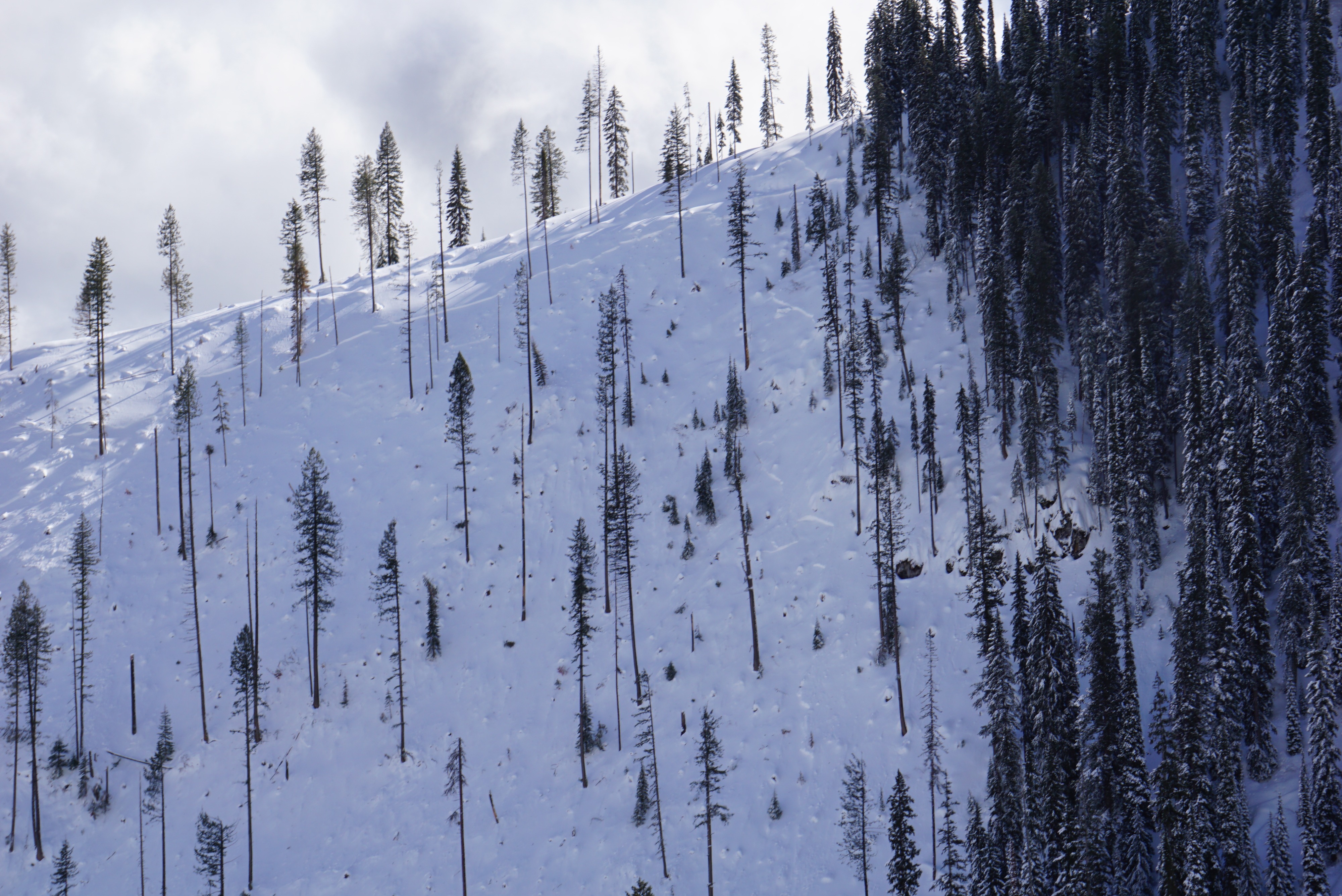
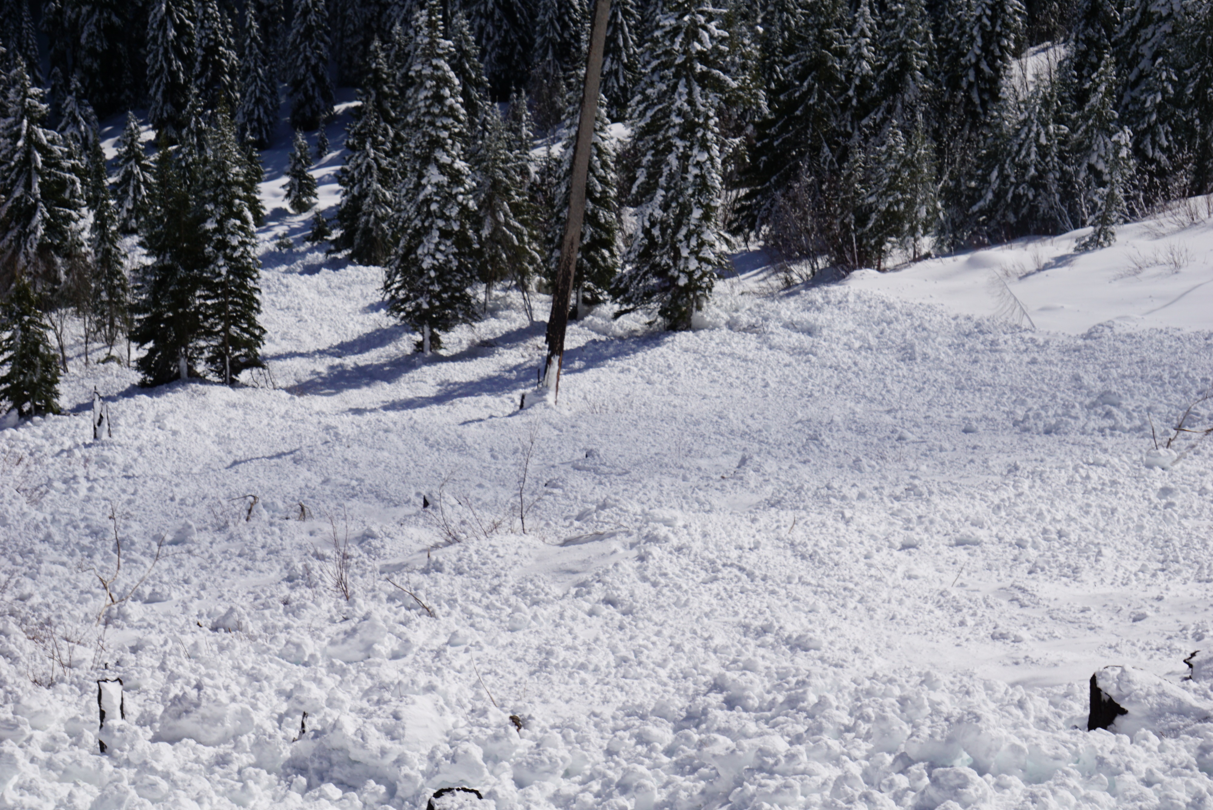
Visibility and cat skiing led to great visibility across at northern Whitefish range. About 1/2 of the historic paths that I could visually identify had slid sometime in the last 24 hours. Crowns were often at mid-elevations leading to less than historic runouts but some impressive ones none the less. On our side, the heavily logged areas around Stryker Ridge had some decent sized slides. One area that is not skied and does not impact the groomed trail system that we estimate to be about 800 vertical feet of mostly near 40 degrees finally went as pictured. The area that does impact Stryker Ridge trail system was buried overnight and Jay brought a winch cat up to clear the road. On egress while traveling in lower angle terrain across the top of the road, multiple large collapses were observed but not triggered further slides.
Avalanche
- Size
- D2
- Count
- 4
- Aspect
- N
- Trigger
- N
- Elevation
- 6200 ft