
Quick report
Gotta get down to the mine.
- Raced the rising sun for dry snow on easterly aspect today and found it prior to 1030. A thin cloud layer created a green house effect and warmed surface snow within a matter of minutes up to 6500' on easterly aspects.
- Found 5-6 cm of new snow on top of this week's storm totals (45 cm).
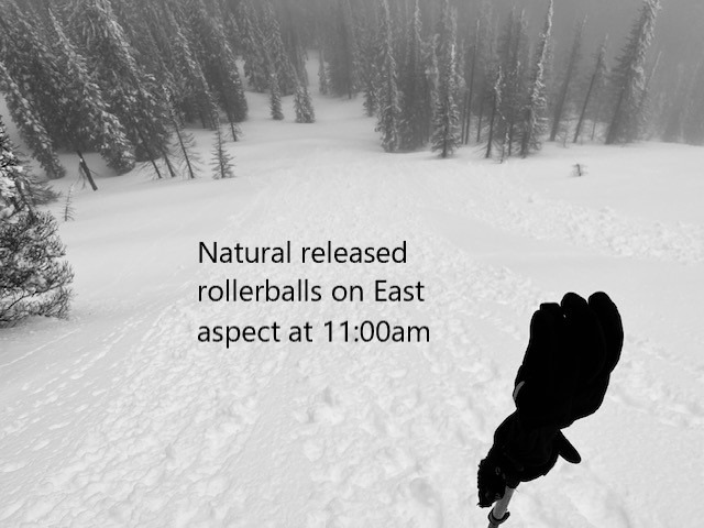
- Numberous natural rollerball activity from treebombs, small steep convexities and rock outcroppings.
I don't know now, I just don't know, If I'm coming back again.
- Shifted over to northerly aspects and found dry to mostly dry snow down to 5700'. Below that, all snow surfaces were wet.
Weather
- Air Temp
- 28-34
- Cloud Cover
- broken
- Wind Loading
- none
- Rain Elevation
- n/a
- Recent Snowfall
- 5
- Snow Avail For Transport
- small smounts
Thin cloud cover with intermittent sun breaks. Shifted to overcast/fog in early afternoon, with eventual clearing by mid afternoon. Temps warmed quickly on aspects getting direct sunlight.
Snowpack
- E-S-W aspects changed over from dry to wet snow in a matter of minutes around 1045. Wet snow was down about 10 cm below the surface. Boot pen at the beginning of the day was 10 cm.
- Northerly aspects held dry snow till around 5700-5800' where it quickly transitioned to wet surface snow.
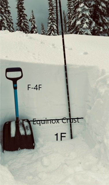
- Snowpit data at 6450', HS 286cm @1330
- The Equinox Crust is present on a NE aspect with rounding facets above the crust
- Recent storm snow totaled around 45 cm for the week
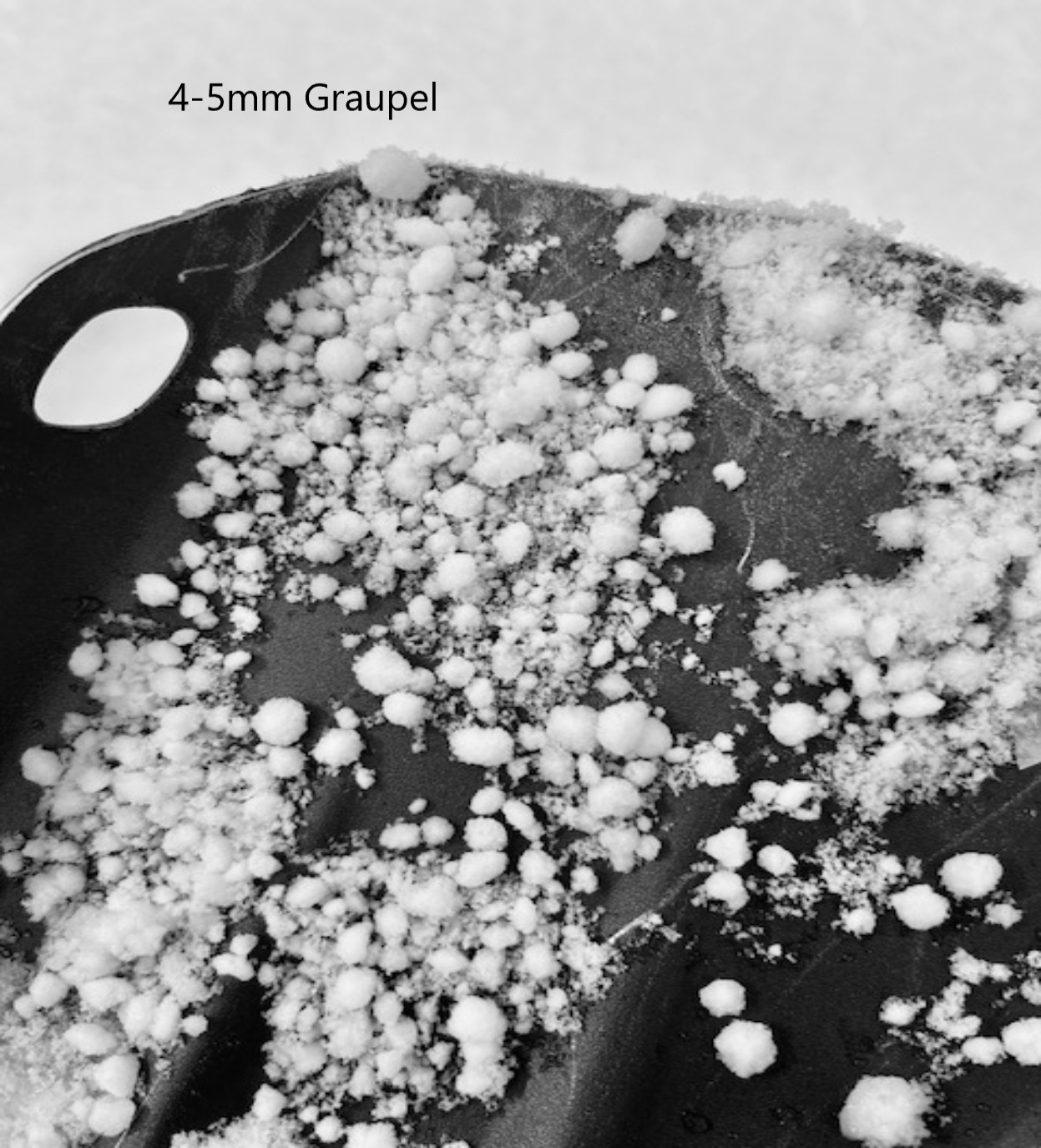
- Several distinct graupel layers between storm intervals
- Boot pen 23 cm / ski pen 12cm.
Avalanche
none observed