
Quick report
- Collapsing
- specific
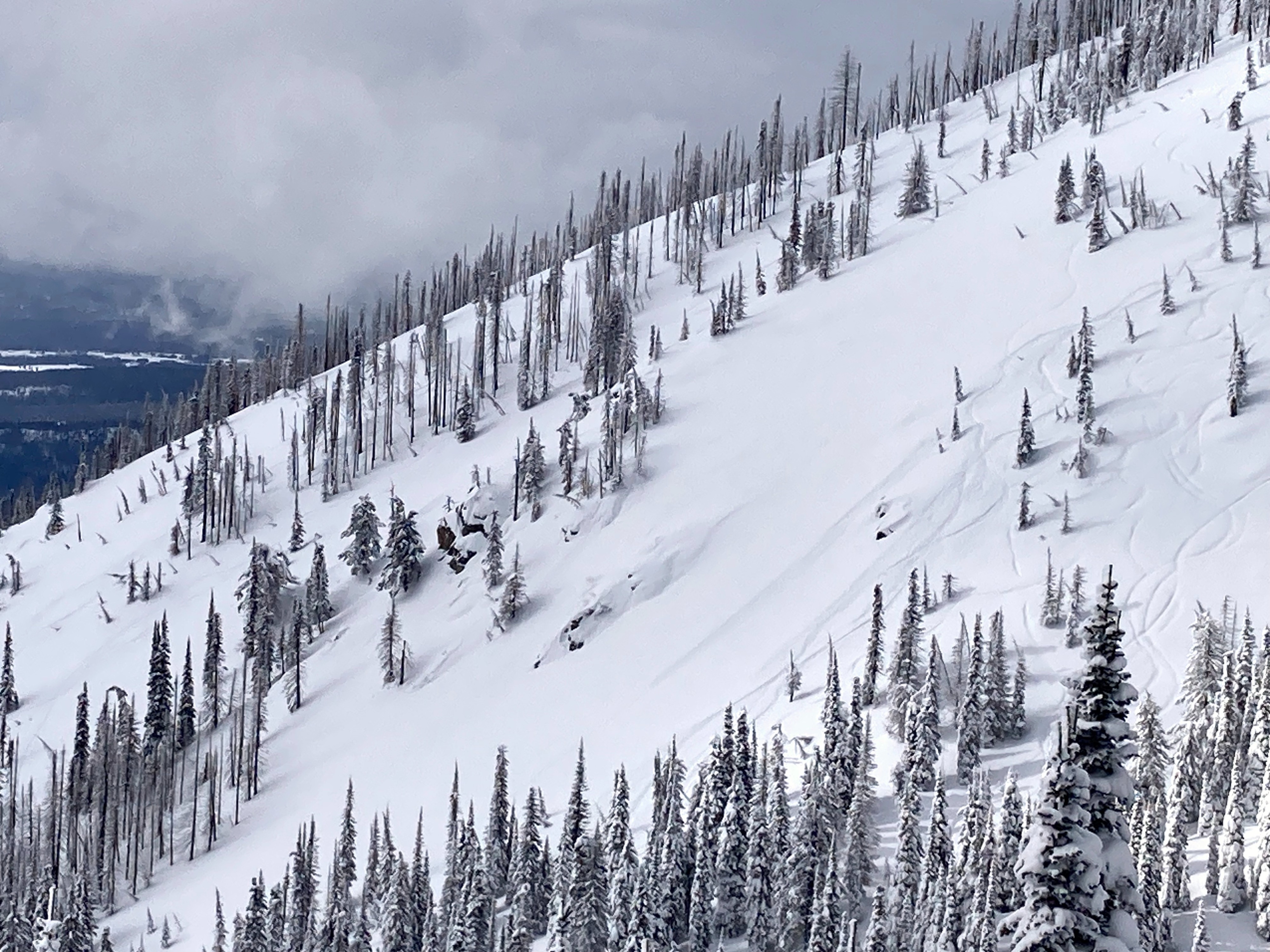
Toured east from WMR to investigate the snow structure on slopes in the southern half of the compass.
- Some signs of instability: one very small slab, a few point releases, wrinkles and cracks in the snow surface, muffled whumpfs on a cross-loaded ridge, and one loud, surprising collapse on a southeast-facing, mid-elevation slope (See snowpack section).
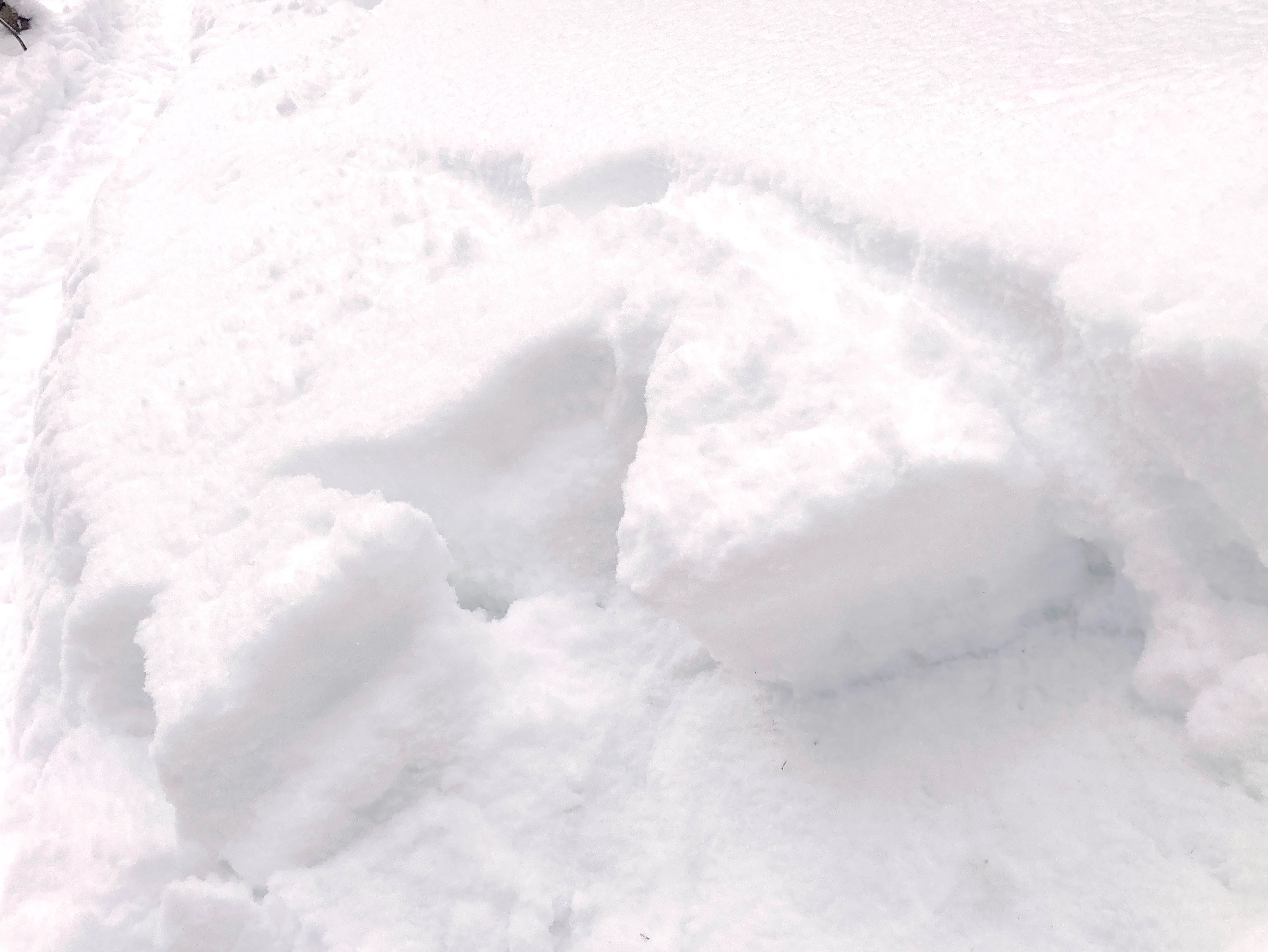
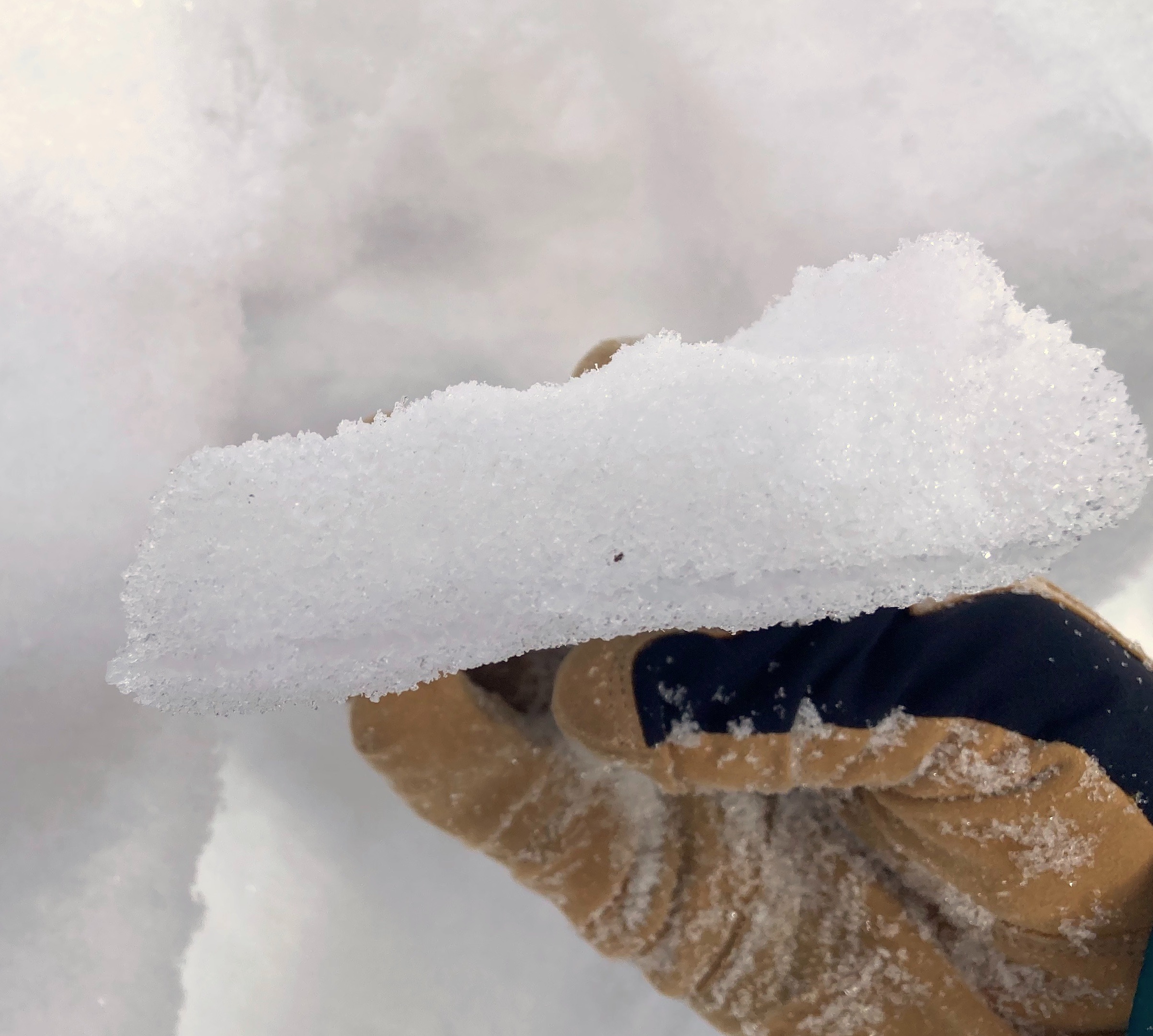
- In sheltered locations, 40-55 cm of soft, right side up snow over surface left by Dry January. The most recent snow is about 5% density. Maybe lighter before settlement.
- The February snow sits on a series of crusts and facets. Lots of variability to this complex. The crusts range from < 1 to 5 cm thick, and 1 F to ice lens. The facet layers also vary in thickness.
- A few general impressions:
- The most developed facets seemed to pair with the thickest crusts.
- Southeast aspects seemed to be the most sensitive to rider's weight (though we only had limited travel on open southwest aspects).
- My sense is that that the Persistent Slab avalanche hazard remains isolated. That is, there aren't many slopes where you could trigger a slab on the 1/31. Nonetheless, my terrain choices today were very much driven by that possibility. I was looking and listening very closely for any signs of a surprise. Got one. Still enjoyed some truly memorable skiing.
Weather
- Air Temp
- low teens
- Cloud Cover
- broken
- Wind Loading
- none
- Recent Snowfall
- 25 cm
- Snow Avail For Transport
- large amounts
Mostly broken skies, with scattered clouds towards late afternoon. Mostly calm with a few light gusts and minimal wind transport.
Snowpack
Focused on southern half of compass because of results last field day (2/6; Red Meadow). Multiple hand pits; one profile (SE, 6100 ft, HS ~160 cm). General obs:
- 10-55 cm recent/ new snow since 1/31, with lesser amounts on ridges exposed to cross winds. The most recent snow is remarkably low density.
- Above the 1/31 surface, the snow is right side up (Fist to 4 finger), though the top 5-15 cm was sometimes ever-so slightly more cohesive.
- Below the snow of the past 10 days are crusts of varying thickness and hardness, either sandwiching or sandwiched by, facets. Generally, three crusts.
- The crusts we saw were thinnest (< 1cm) on sheltered and westerly slopes.
- The top crust was thickest on slopes with the most direct sun. In many places as much as 5 cm thick and about 1 f hard. I also found a thin (< 1cm) ice lens at the base of the melt-freeze grains in places; it was Pencil to Knife hard.
- Below and/ or between the crusts are F-hard, well developed facets. The faceted snow below the crusts is perhaps the thickest layer of junk snow I've seen at mid elevations here, though the grains aren't that large.
Blocks in hand pits sometimes failed on a thin layer of facets above the top crust. In the profile at 6100 ft SE, we did not get propagation in an ECT (ECTN 26, ECTN 27; CT H 21 SC) that failed below the ice lens, in the topmost layer of facets.
Given those results, I was surprised when the slope 100 feet away (SE, < 30*) collapsed with a pistol-shot loud crack with my partner's first turn. We did not spot a crack resulting from the collapse.
Avalanche
Pont releases off steep rock knuckles on westerly slopes. Didn't entrain snow or run far. One very small slab (previously reported)