
Quick report
- Cracking
- specific
- Collapsing
- specific
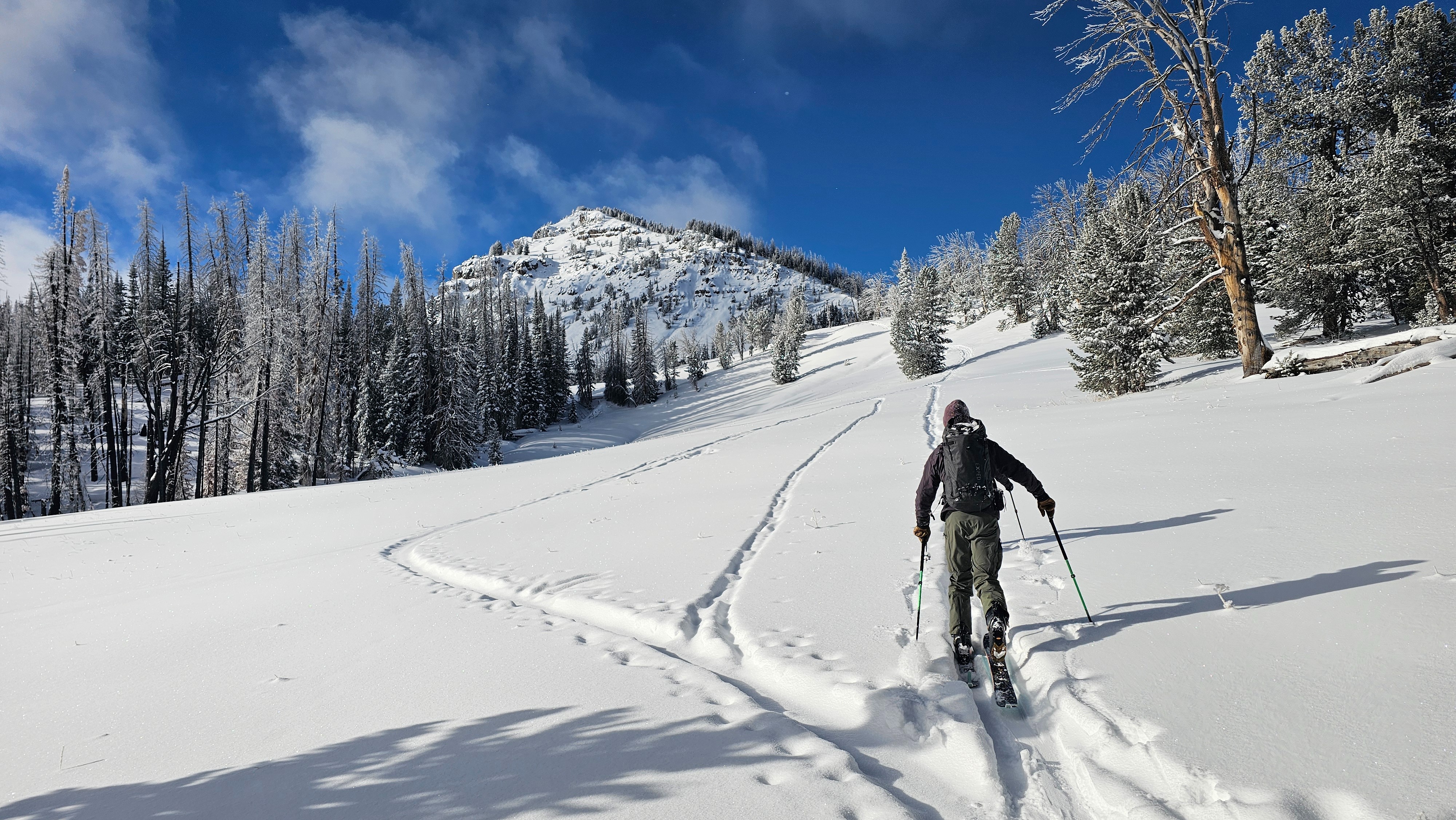
Coverage is slowly improving and good turns can be found here and there. Today, early season hazards such as hitting rocks and stumps were the main concern. Avalanches will become a concern when we start to see a more cohesive/harder slab develop above the current buried weak layers. This could happen soon if this weekend’s storm delivers the forecasted snowfall totals.
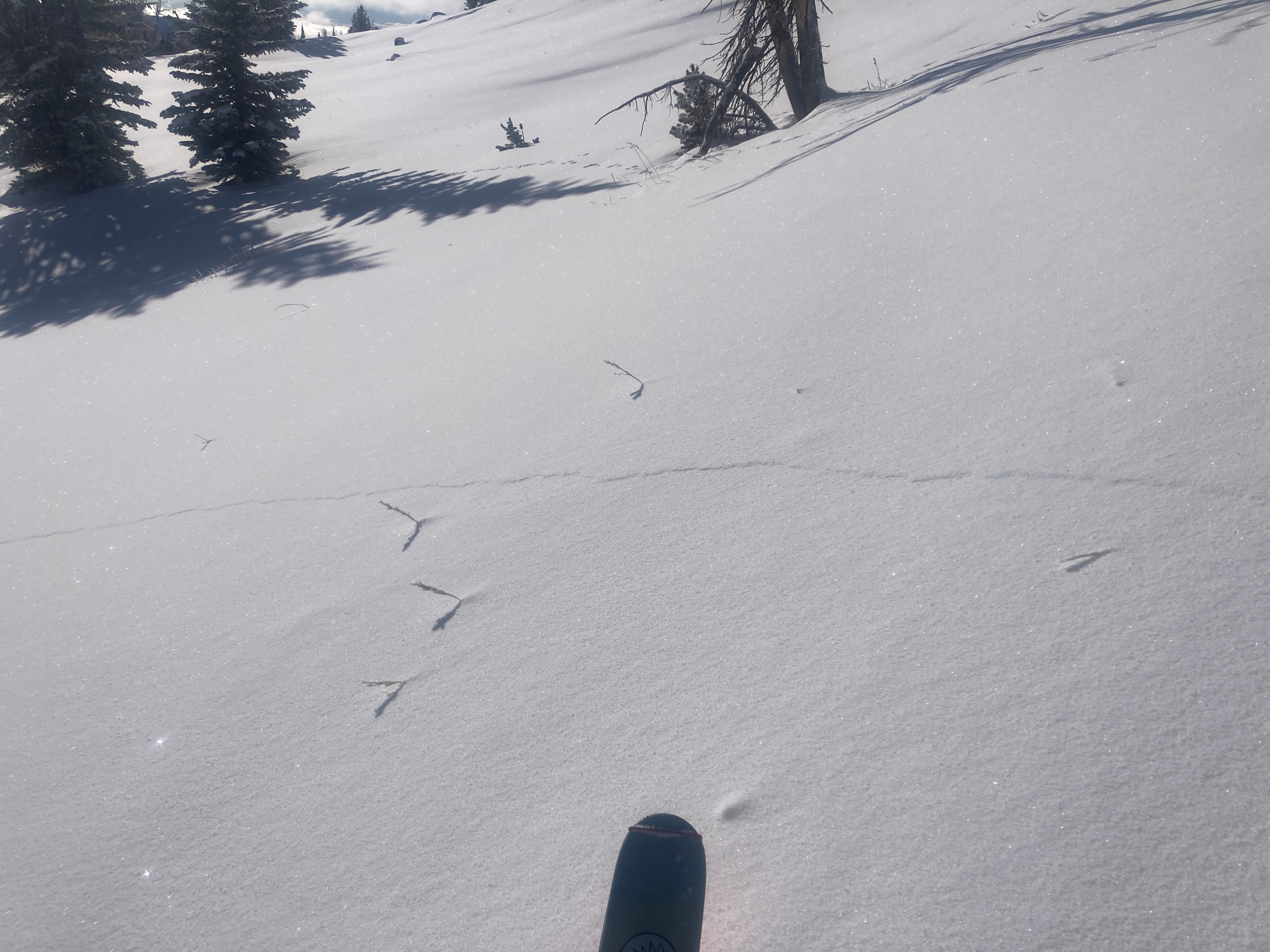
We noted cracking and collapsing on a variety of aspects and terrain types. All locations contained a layer of buried surface hoar 10-12 inches below the surfacece, as well as other faceted layers.Weather
- Air Temp
- 15
- Cloud Cover
- clear
- Wind Loading
- none
- Recent Snowfall
- 2"
- Snow Avail For Transport
- small smounts
Clear, calm, and cold. Clouds slowly building throughout the day.
Snowpack
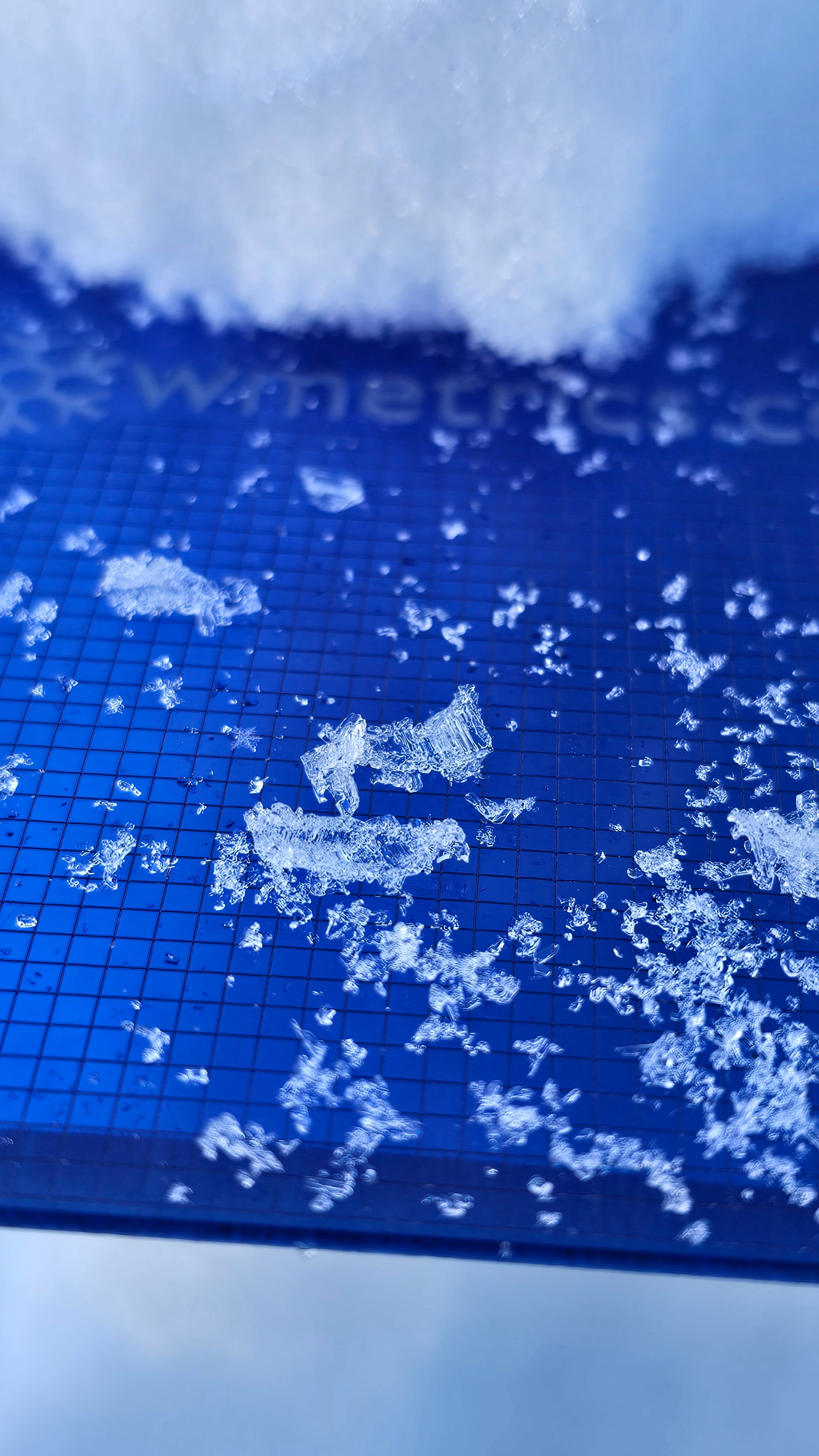
We traveled from 9,600’ to 10,300’ staying mostly on east through north aspects. We found snow heights of 1.5-3 feet in shaded terrain that is sheltered from the wind. In general, the bottom two thirds of the snowpack is weak, faceted snow with some crusts in the mix. Atop this sits a layer of buried surface hoar that is upright, and intact in most locations around Two Ocean Mountain. The top 10-12 inches of the snowpack is recent snow that has started to facet.
Right now, the weak snow buried below the surface isn’t very concerning given the general lack of a cohesive and connected slab above it. Things are likely to change as snow from this weekend’s storm will stress these weak layers, create more of a slab, and increase the avalanche danger on slopes holding old snow from October/November. It’s worth noting that buried surface hoar can be especially reactive and is something to keep an eye on as the storm hits.