
Quick report
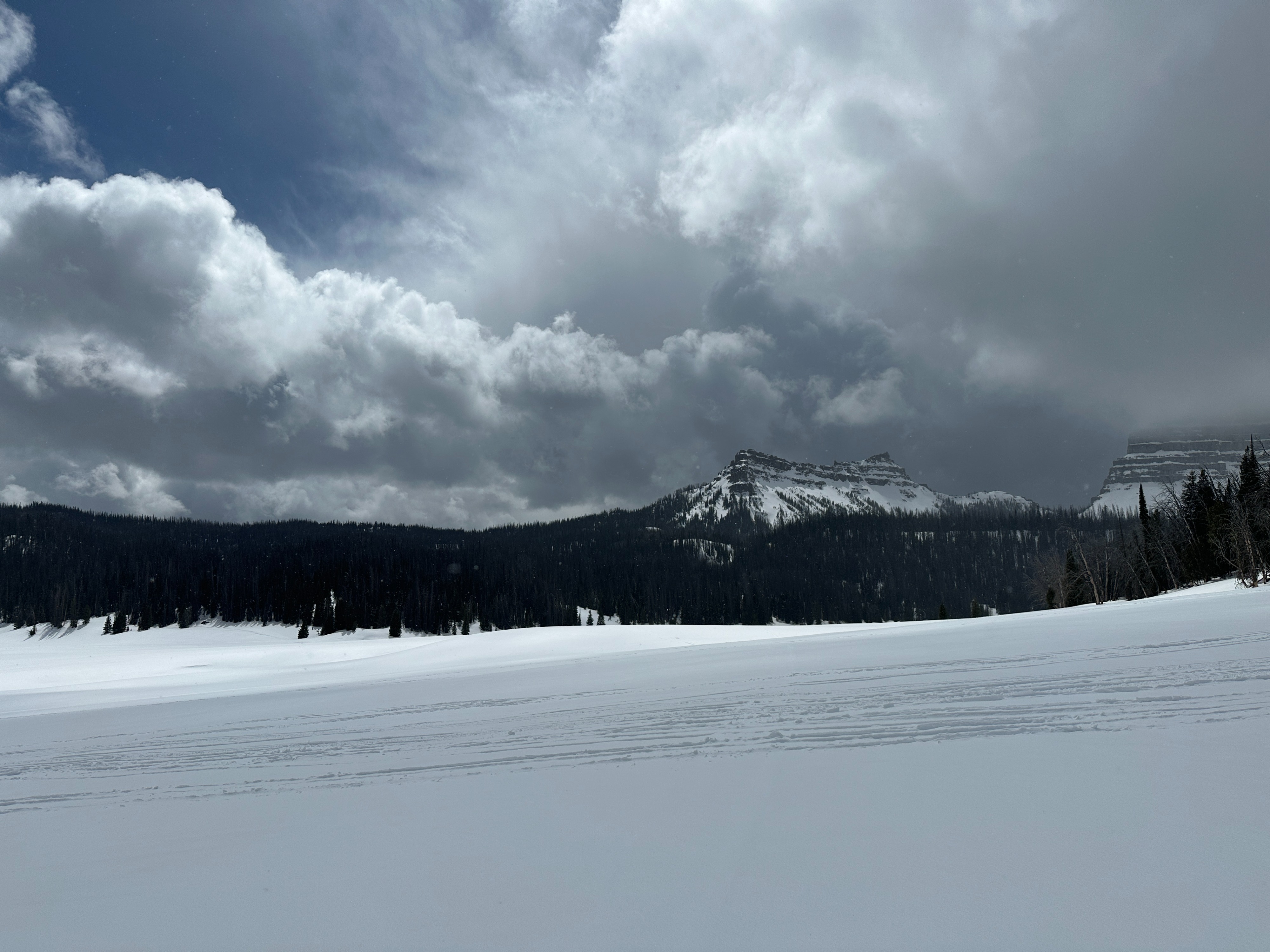
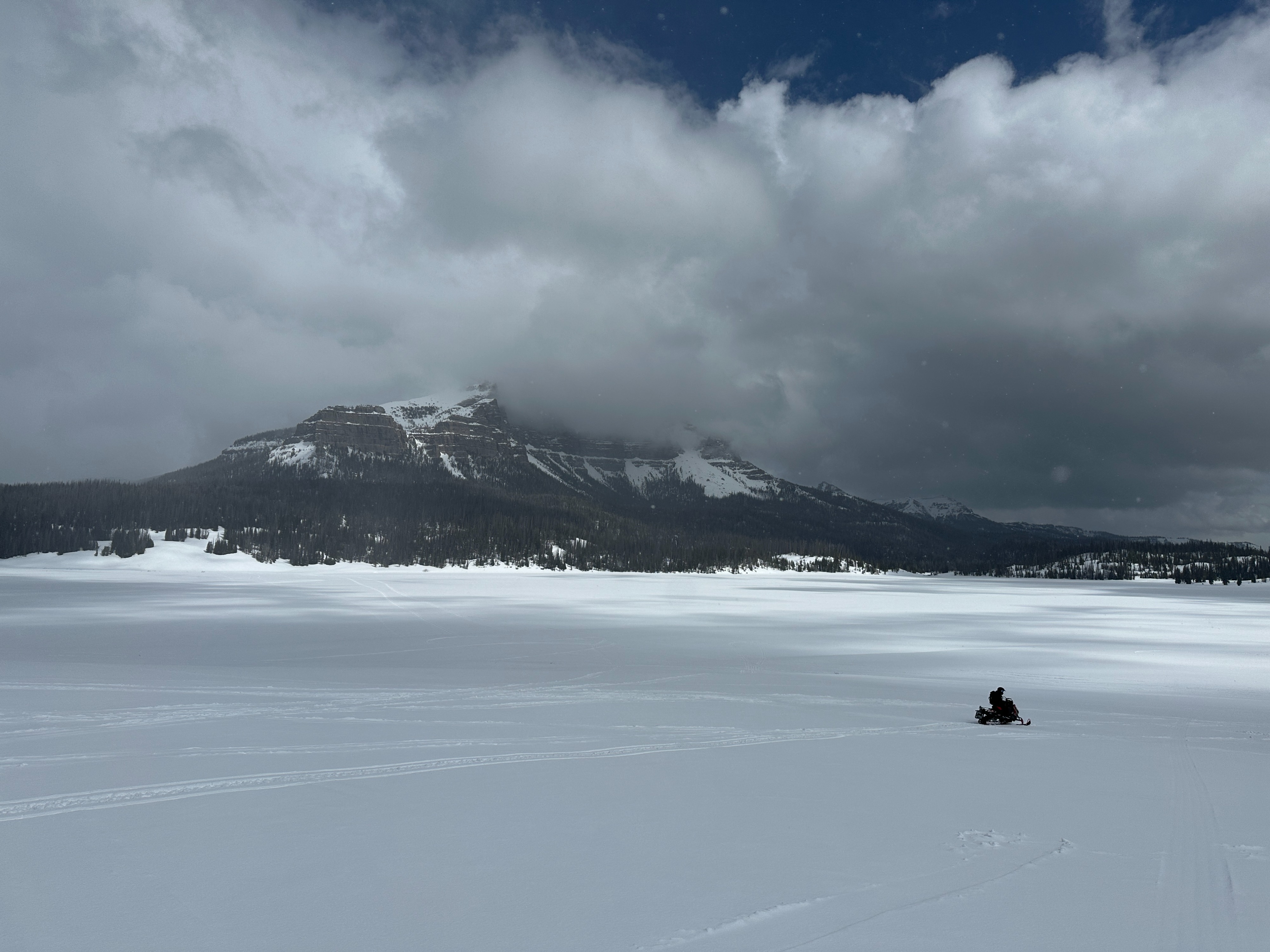
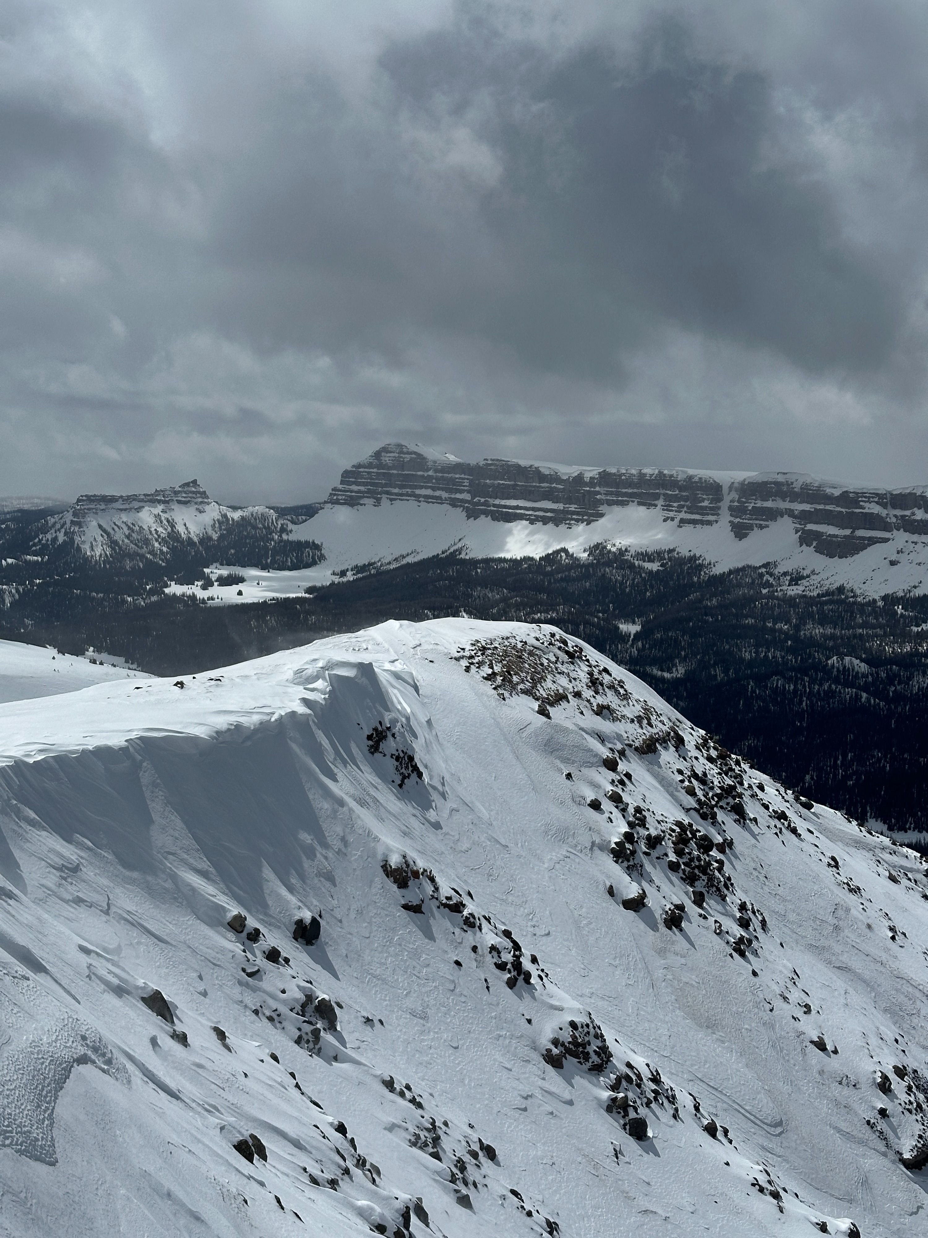
Traveled through the upper elevations of Togwotee on the summit and east of the divide. Storms delivered 2 - 3 inches of new snow over the past 24 hours, with continued scattered showers today. Storms were producing larger accumulation totals east of the divide. Above 10,000, much of the new snow remained dry, and moderate winds from the west were transporting new snow along ridgelines and on exposed upper elevation slopes. We found evidence of recent wind slab development on east and north-facing terrain near 10,500' that was ~6 inches deep. These slabs were isolated in high elevations and behaved stubbornly. New snow was quickly turning wet or moist below 10,000 feet from brief periods of sun. Trails are beginning to melt out in the upper elevations. Coverage is still rideable, but patches of dirt/rocks and logs are starting to emerge from the snowpack. While a very firm snowpack will keep riders on top, pay attention to new obstacles that have not been seen since early season.
Weather
- Cloud Cover
- broken
- Recent Snowfall
- 6
Broken skies brought scattered snow showers to the pass summit and the east side of the divide throughout the day. Snowfall rates were strong for brief periods. Winds were moderate from the west above 10,000'. Temperatures were mild, hovering around the mid-30s F at 9,000.