
Quick report
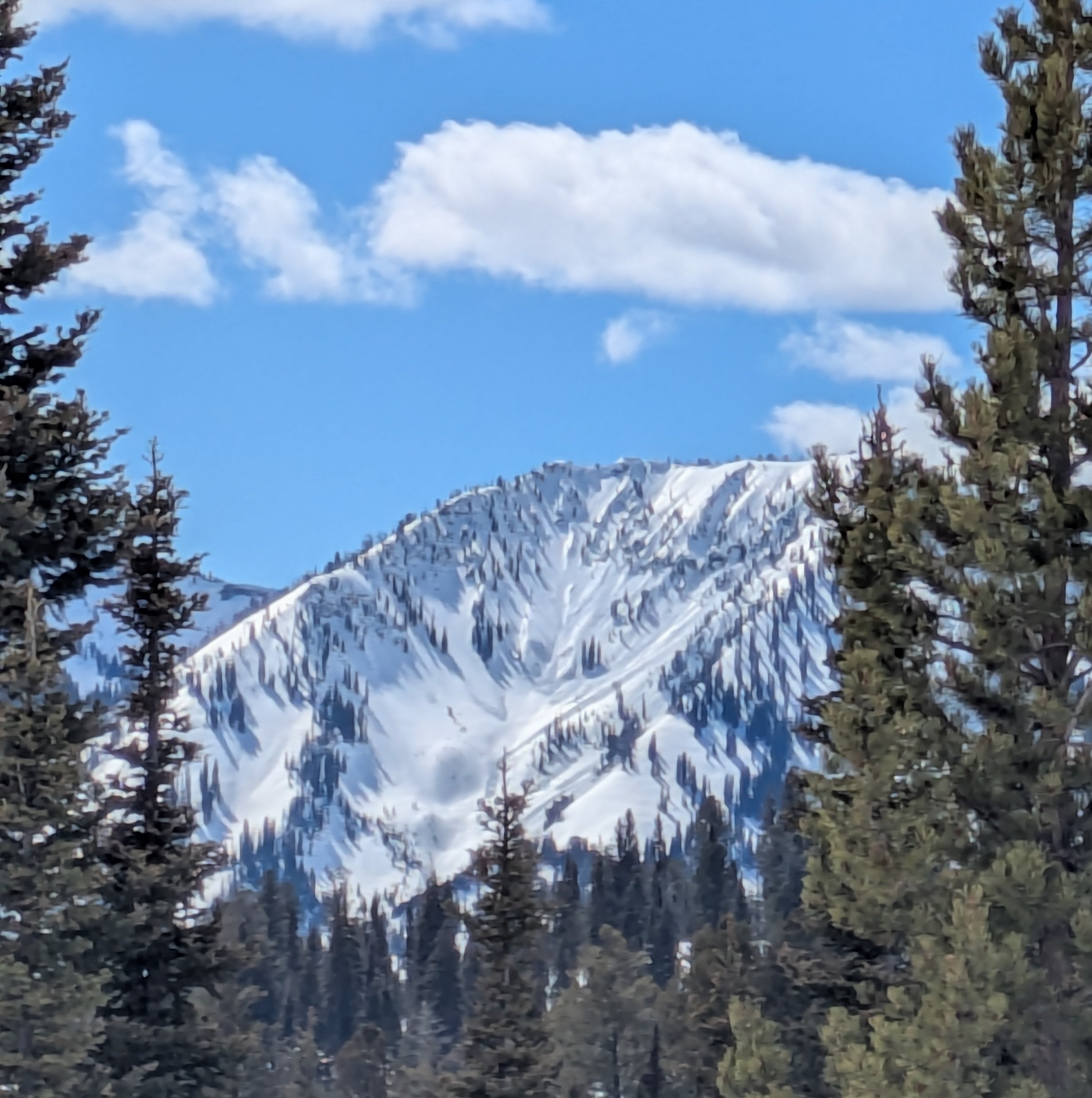
Widepread wet loose cycle on the peaks visible from Mud Pass, primarily in south facing bowls, No new crowns on those areas.
Weather
- Air Temp
- 42
- Cloud Cover
- few
- Wind Loading
- previous
- Snow Avail For Transport
- none
Good refreeze overnight frozen surfaces and dry snow below on shady slopes above 7500'. Temperatures rose to mid 40s at 8000'.
Snowpack
Snow temps warmed quickly in the sun though snow above 8,000' was far from reaching the point were wet slabs could occur...just not enough free water flowing in the snowpack beyond the upper 8-12". Looks as if the fractured in the Tetons were wind slabs sitting on some weak facets or crust facet combinations that were formed 3/13 and triggered as the heat weakened the tensile strength of the slab. Watch temps closely tonight for a refreeze which will arrest free water in the snowpack and may stop a wet slab cycle, for now. Even warmer temps tomorrow could trigger wind slabs and wet loose to higher elevations than today. Nothing good will come from steep, south facing slopes tomorrow once the snow turns to mush.
Avalanche
- Size
- D1
- Type
- WL
- Aspect
- E
- Trigger
- N
- Elevation
- 9200 ft