

Quick report
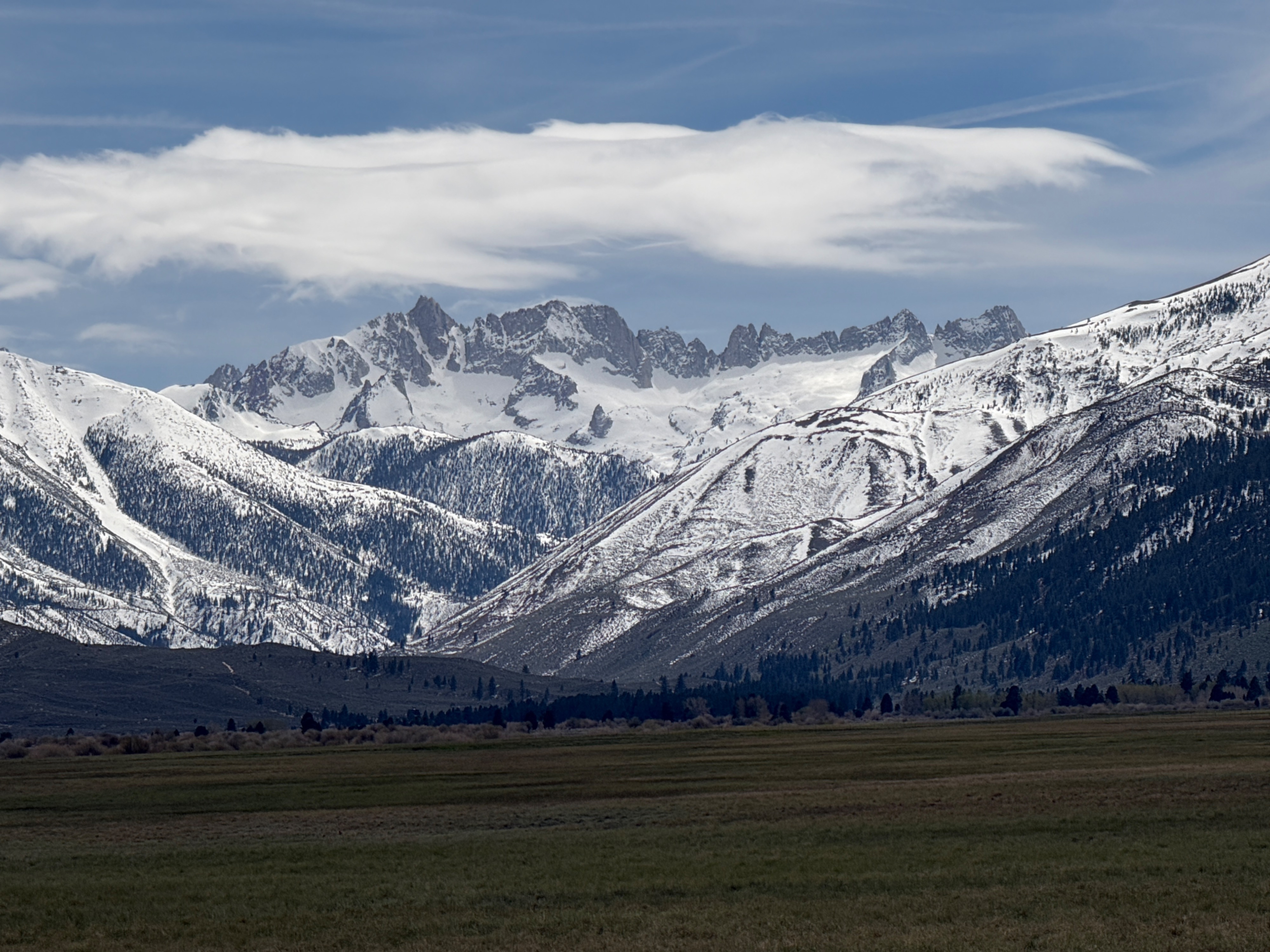
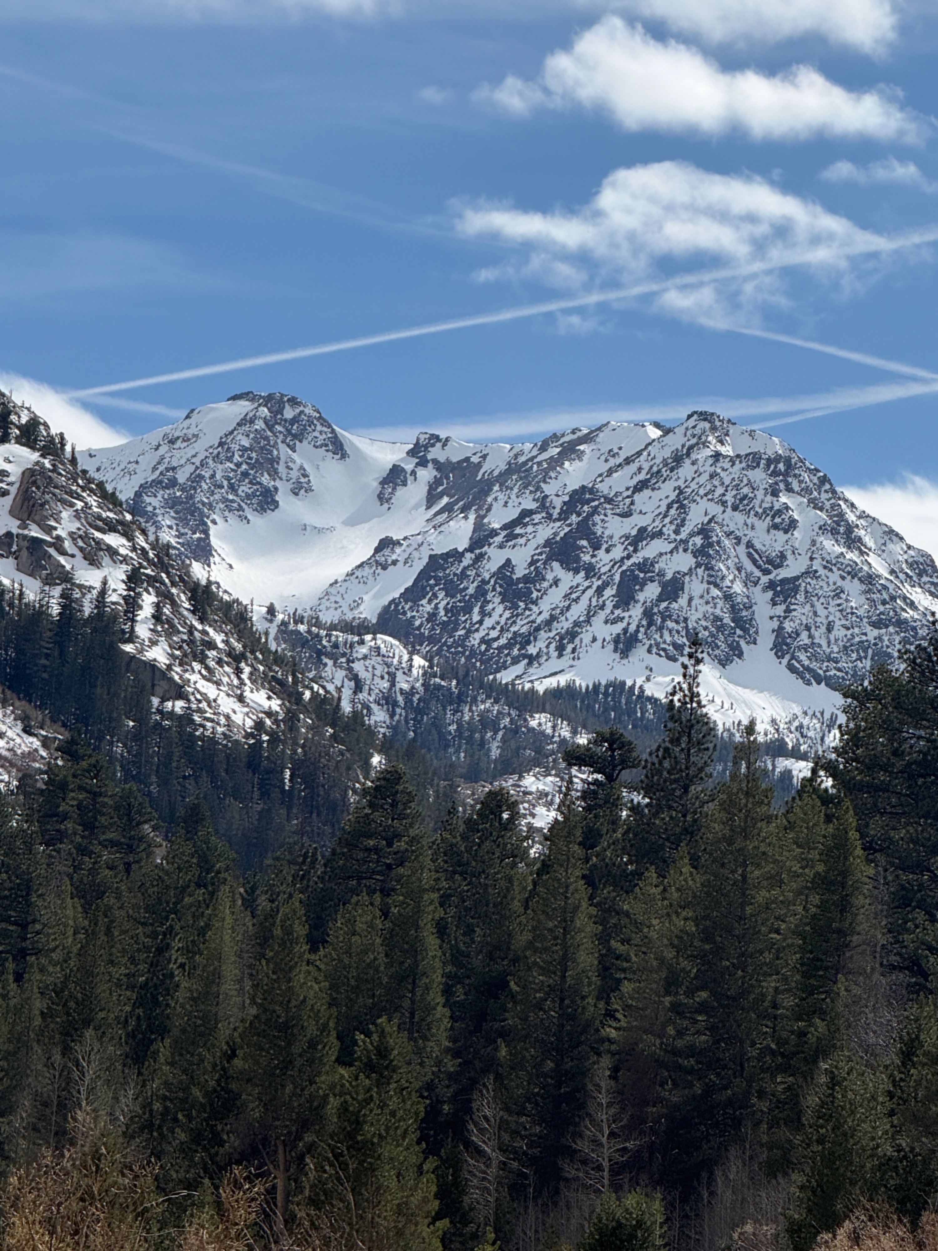
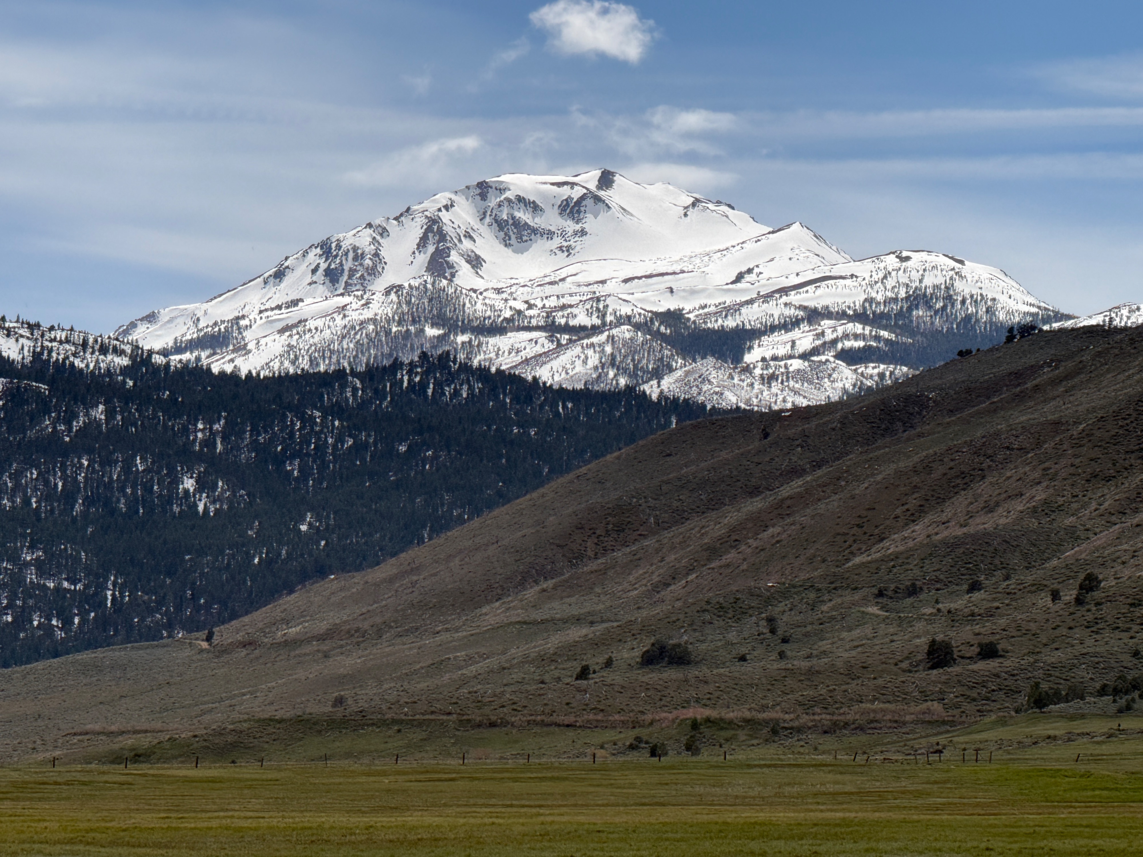
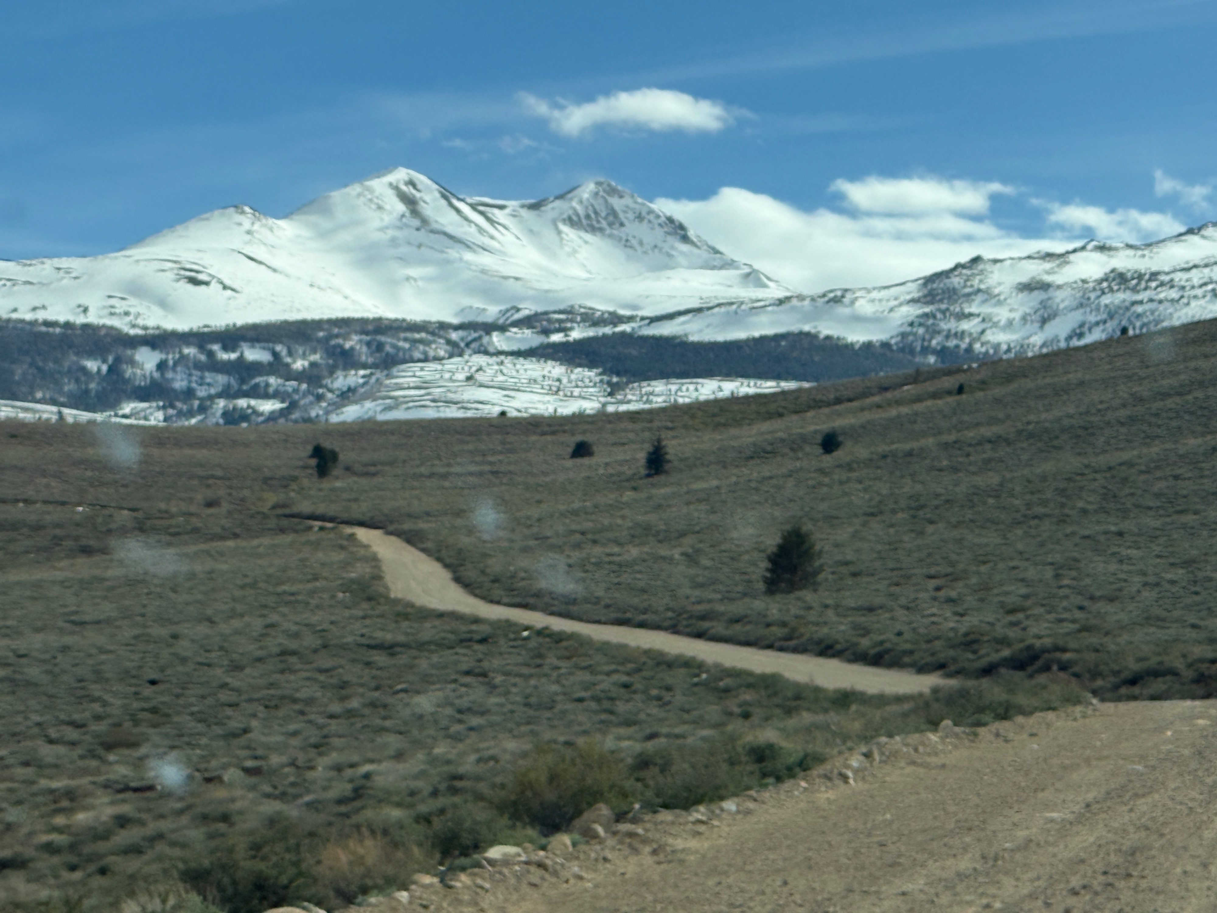
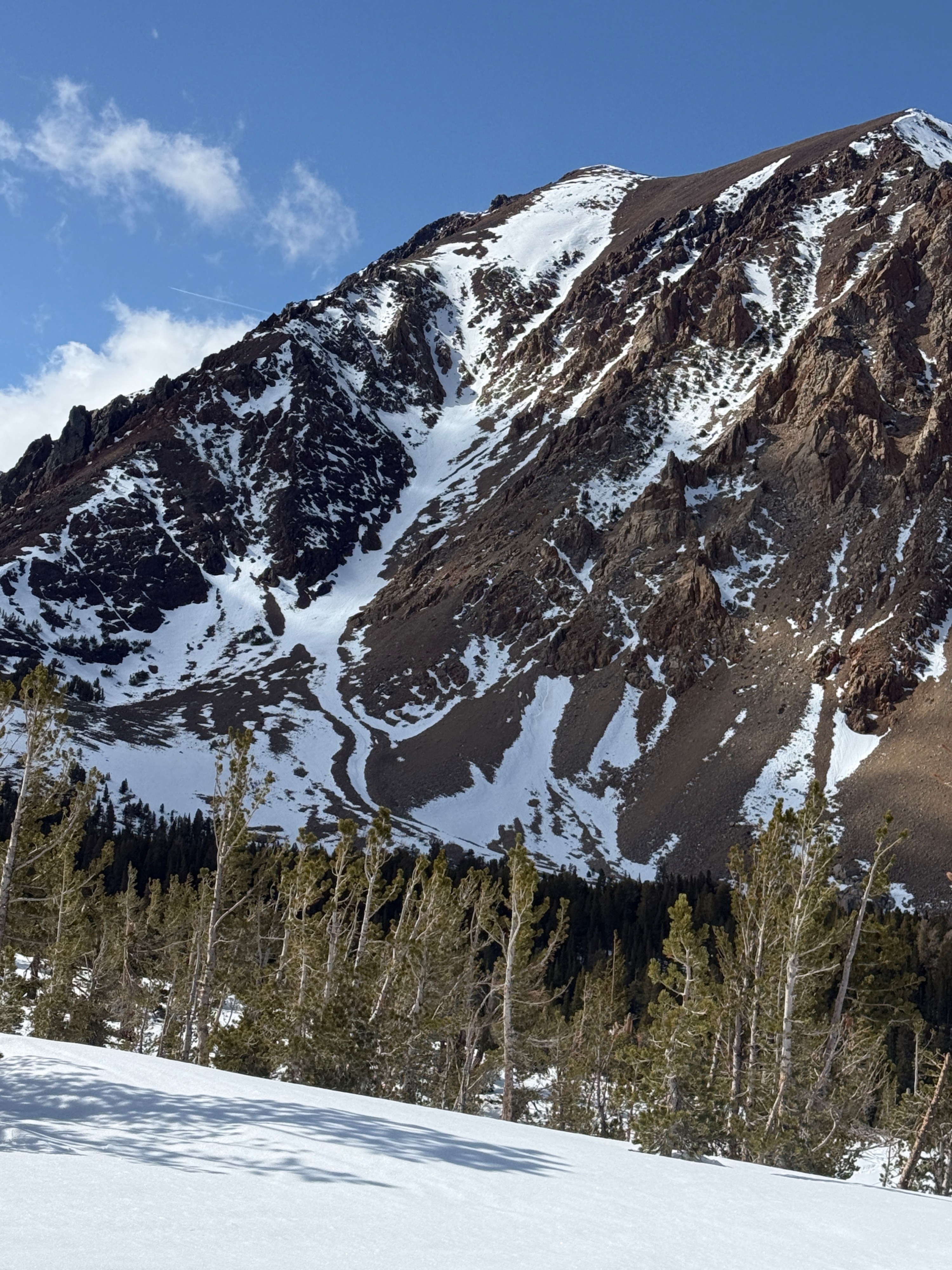
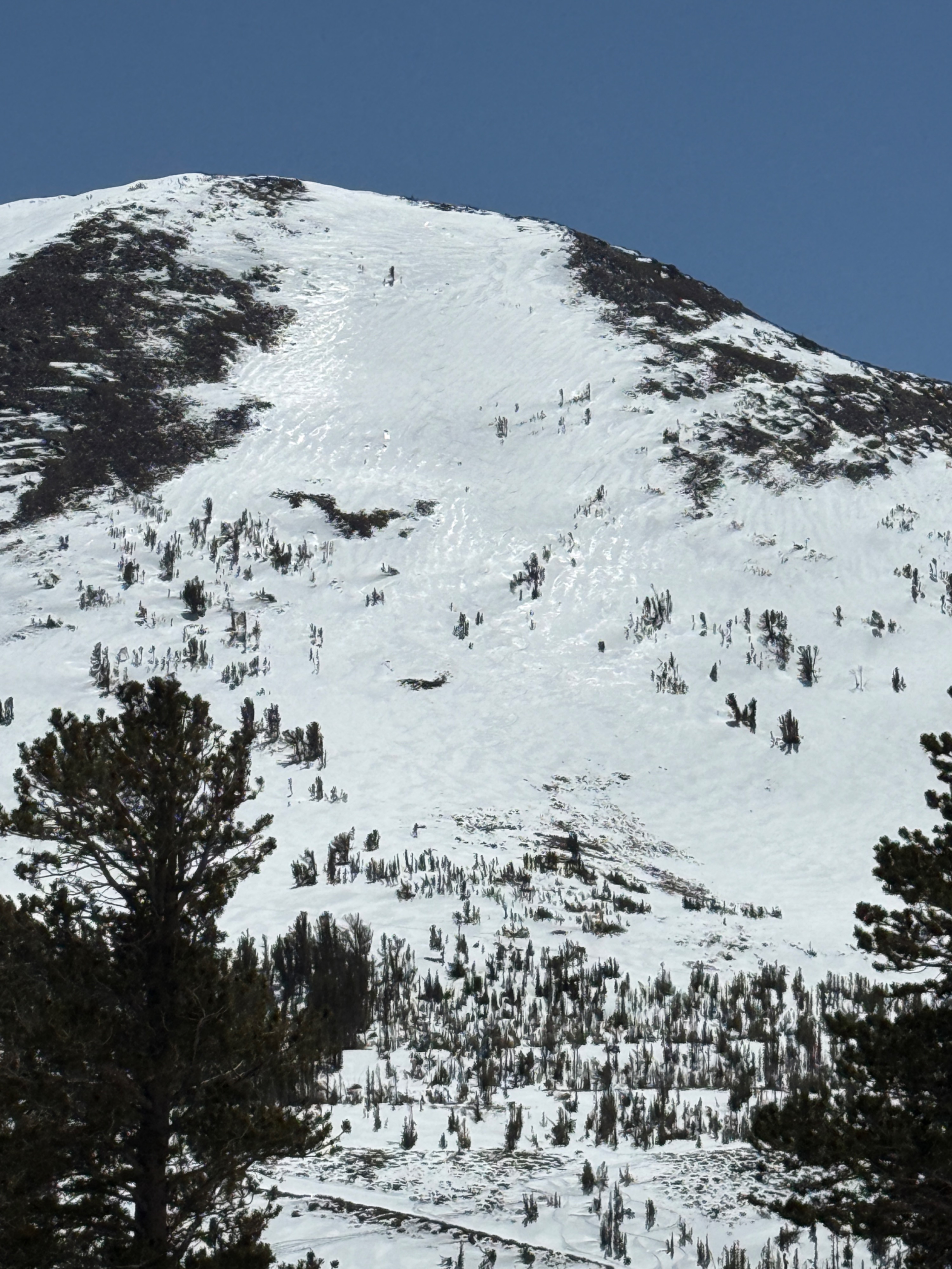
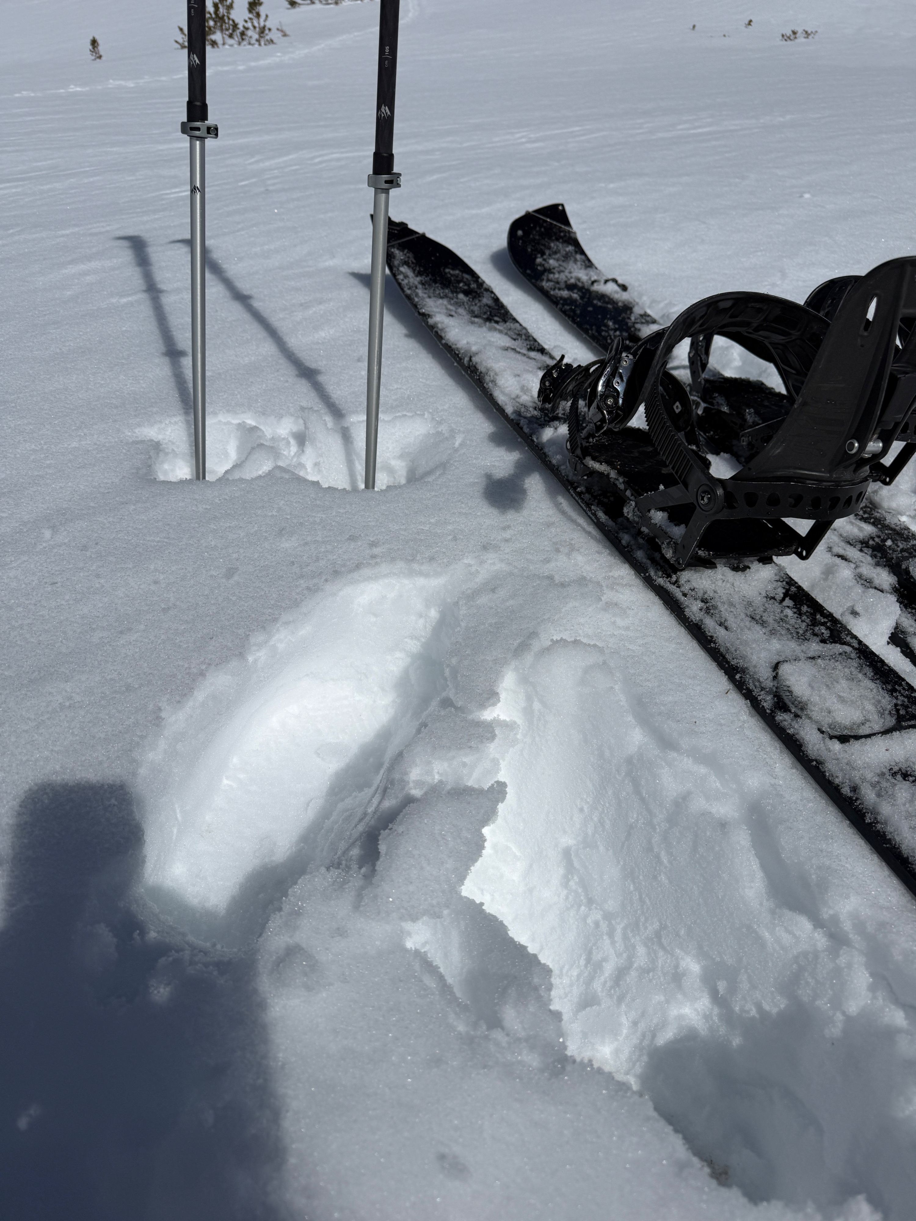
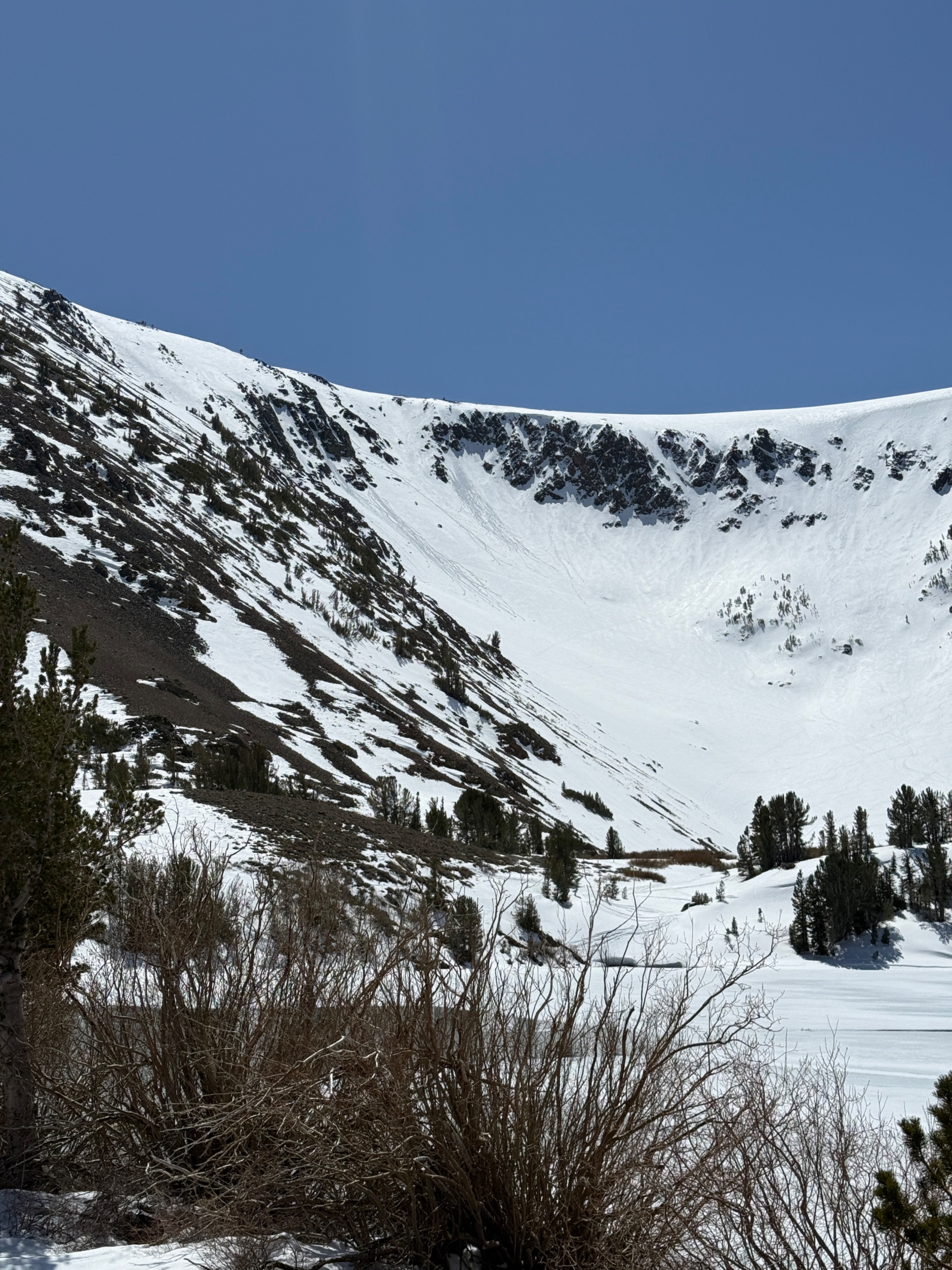
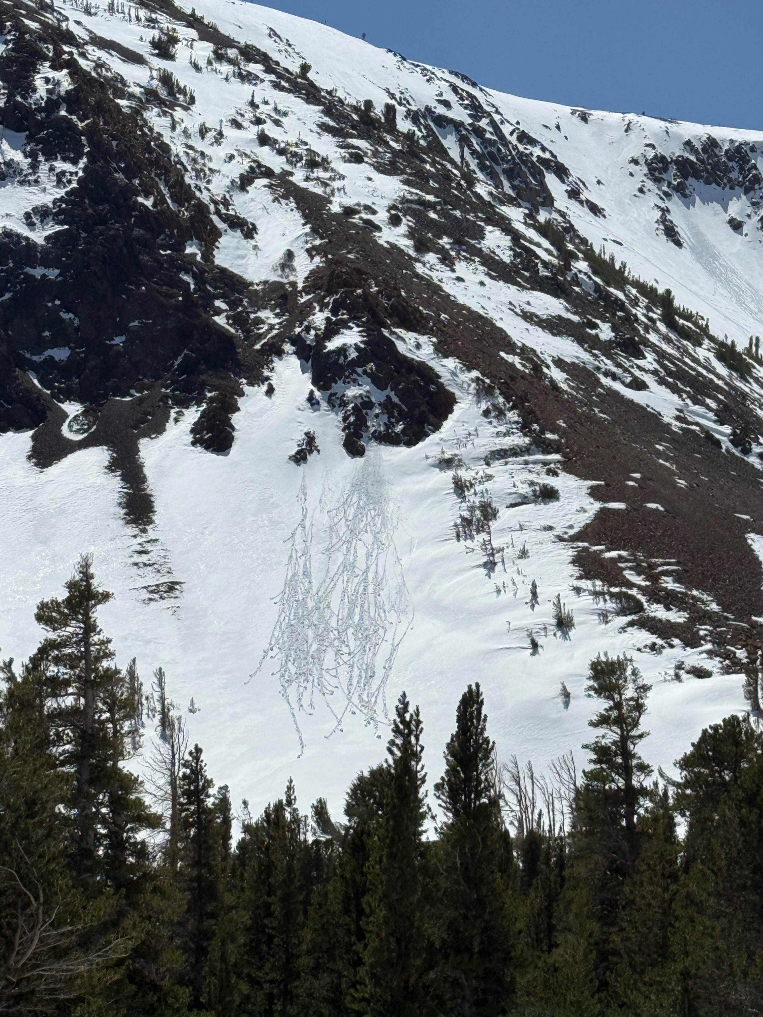
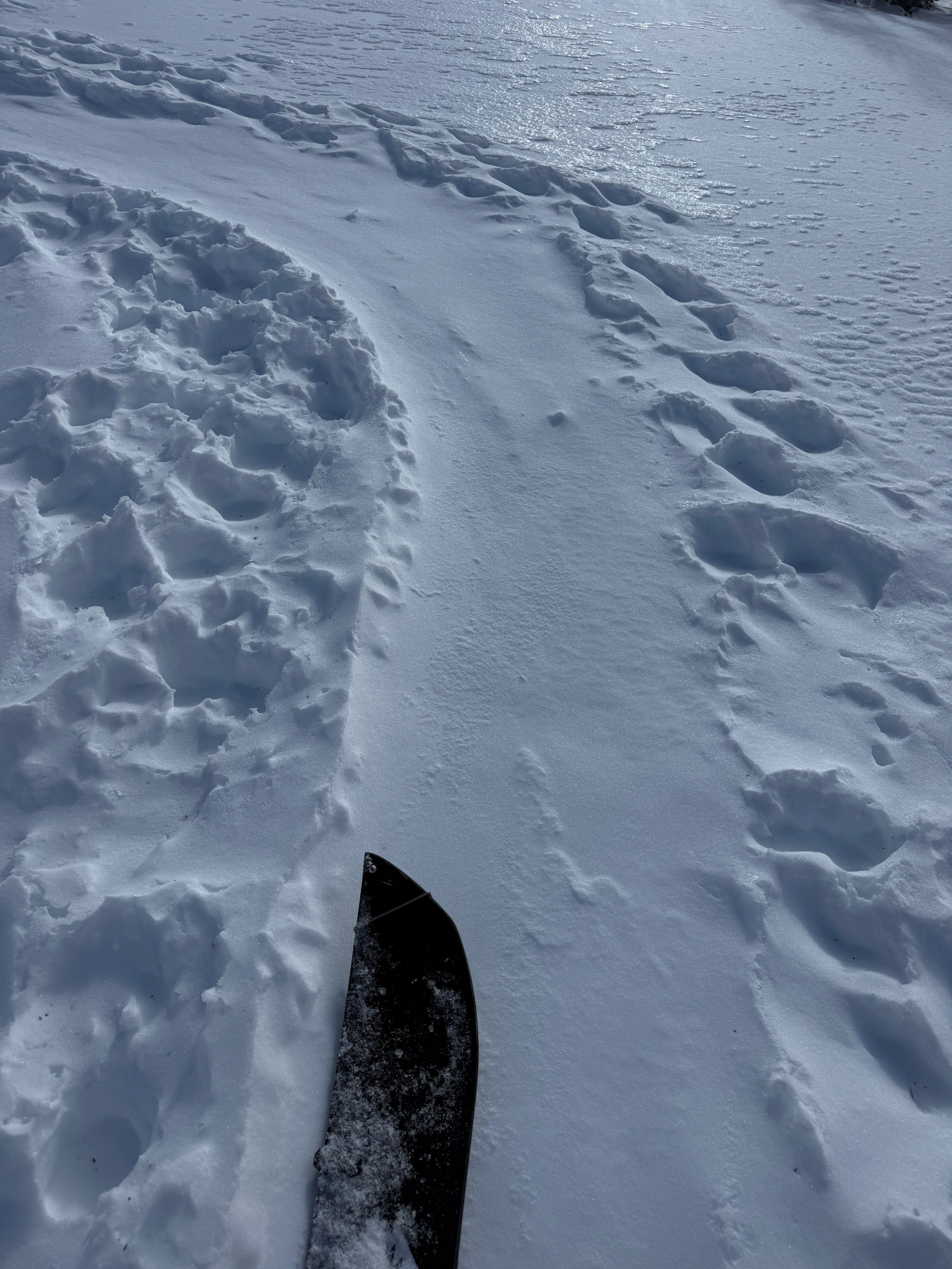
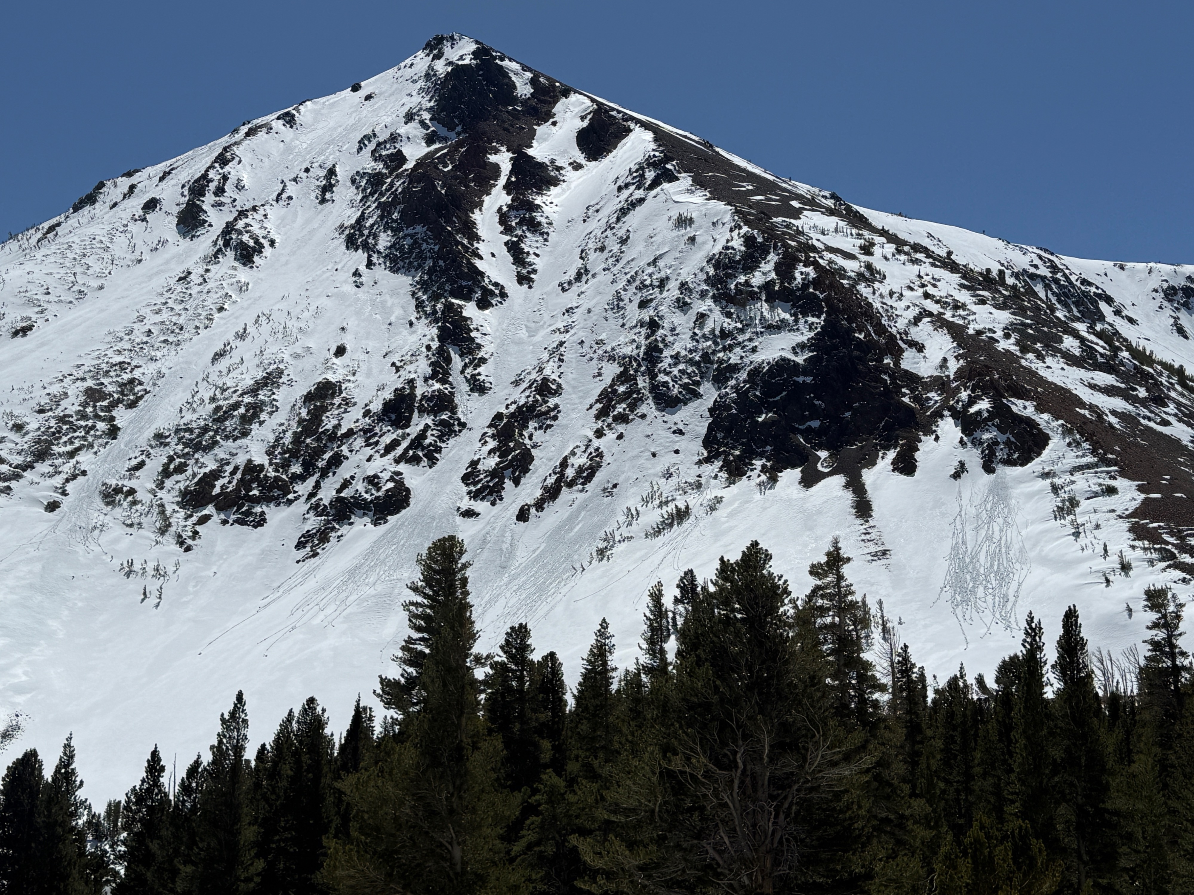
Windy conditions overnight and early in the morning tapered down throughout the day. The wind helped keep the snow surfaces cool, however the mid April sun was out and warmed up the snowpack by mid day. Temperatures were well above freezing and rose into the low 40's F. The new snow that fell at the start of the week has begun to transition. A mixture of snow surfaces were present today, and the surface crust extended into Alpine elevations. I also checked out some trailheads adjacent to Virginia Lakes. Overall, the below treeline terrain is mostly base ground, and the melt off is substantial. A few roller balls were observed below rocky terrain, and were small. No other instabilities in the snow were observed today.
Weather
- Cloud Cover
- few
- Wind Loading
- none
- Recent Snowfall
- 0
- Snow Avail For Transport
- none
Windy and warm. Wind was strong overnight and into the morning, tapering throughout the day.
Snowpack
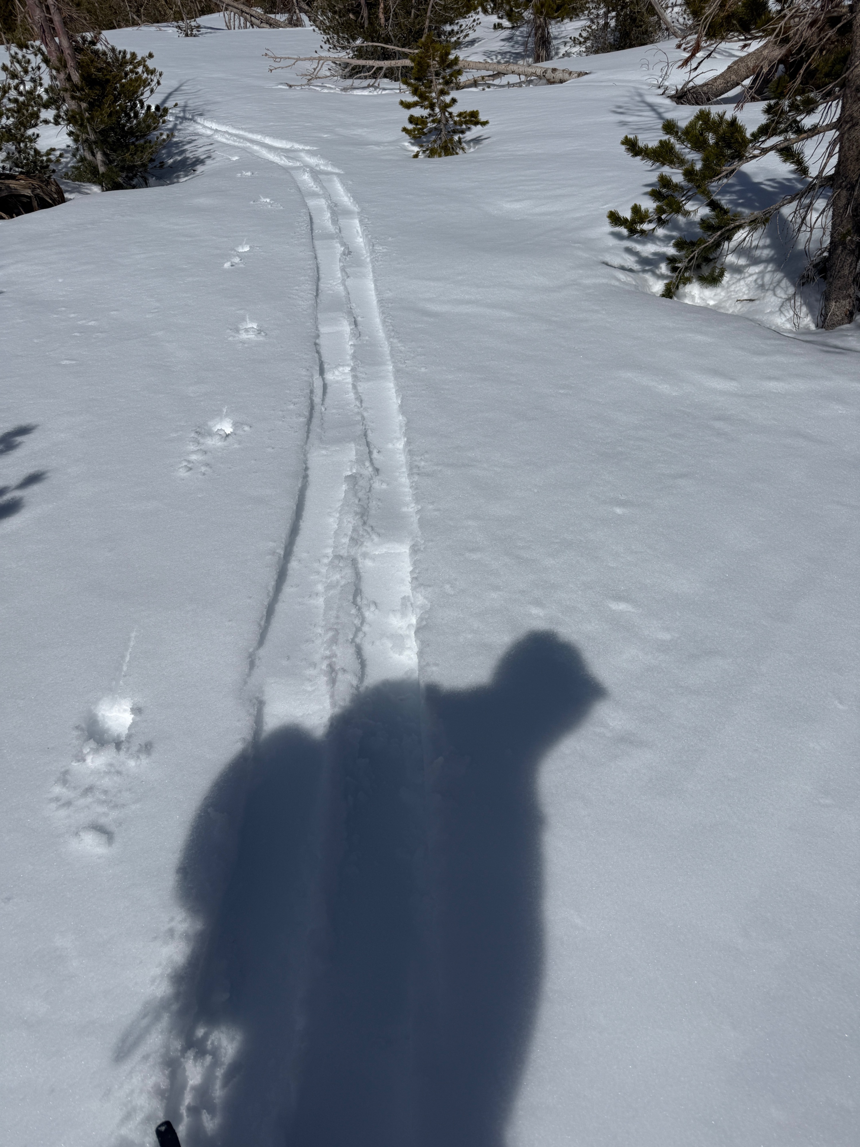
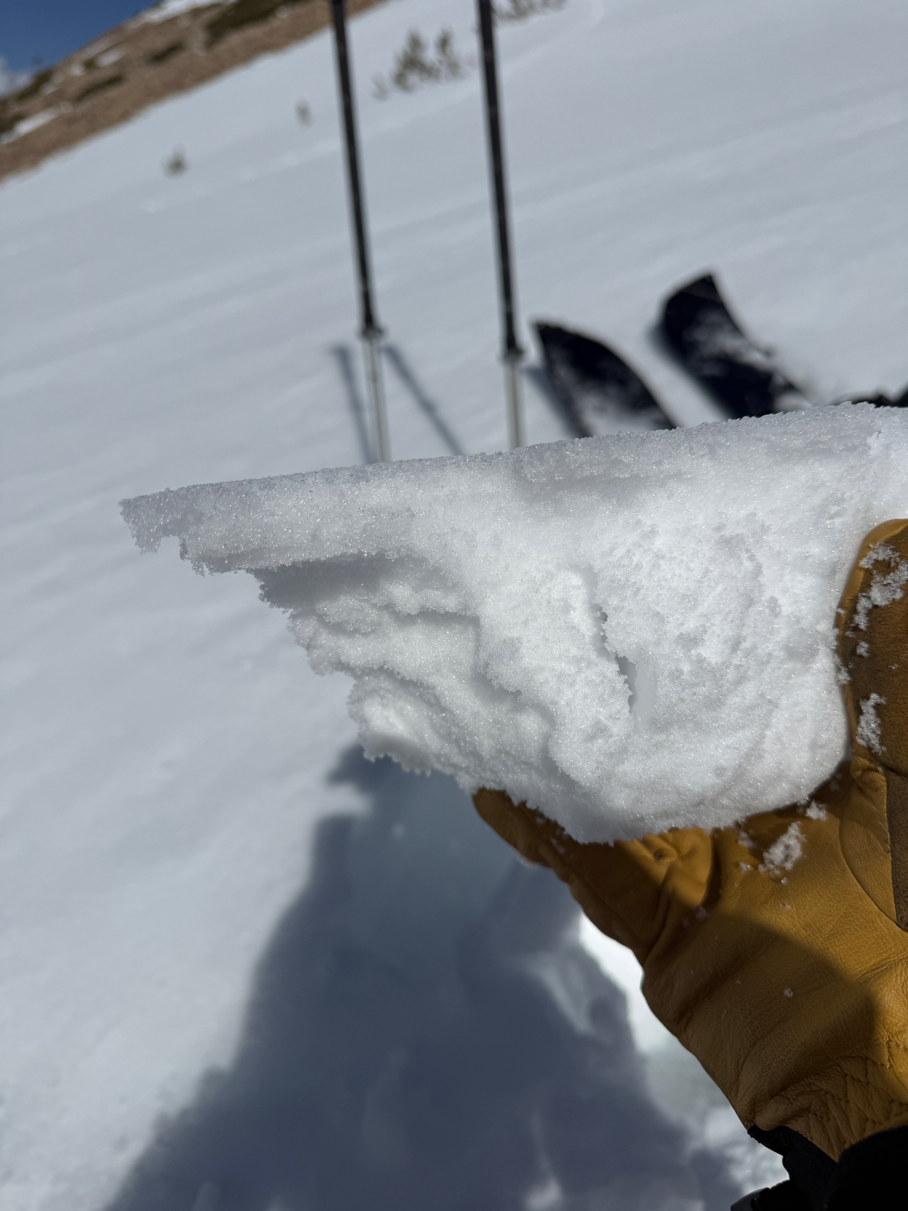
The snowpack was transitioning today from the powder snow that fell at the start of the week, to a consolidated springtime pack. A surface crust was present today with mostly dry grains underneath. Below the 10 cm's of new snow is a well-consolidated snowpack.