
Quick report
My goal was to track warming and wetting of the snowpack on both solar and northerly aspects near and below treeline today.
- Minimal signs of instability: no new avalanches. I could only push the top 3-4 inches downhill on test slopes, and the debris didn't run far.
- The snowpack is wet, with crusts and melt forms at lower elevations and extending into the upper elevations on solar aspects. I found a layered snowpack in a hole at 9500 ft. on a northeast slope where I could get a layer of old rounding facets to propagate in a snowpack test.
- It remained about as hot as it's been over the past 2 days. Hazy high clouds and light shifting winds may have helped limit surface melting.
Weather
- Air Temp
- Upper 40s
- Cloud Cover
- scattered
- Wind Loading
- none
- Rain Elevation
- NA
- Recent Snowfall
- 0
- Snow Avail For Transport
- none
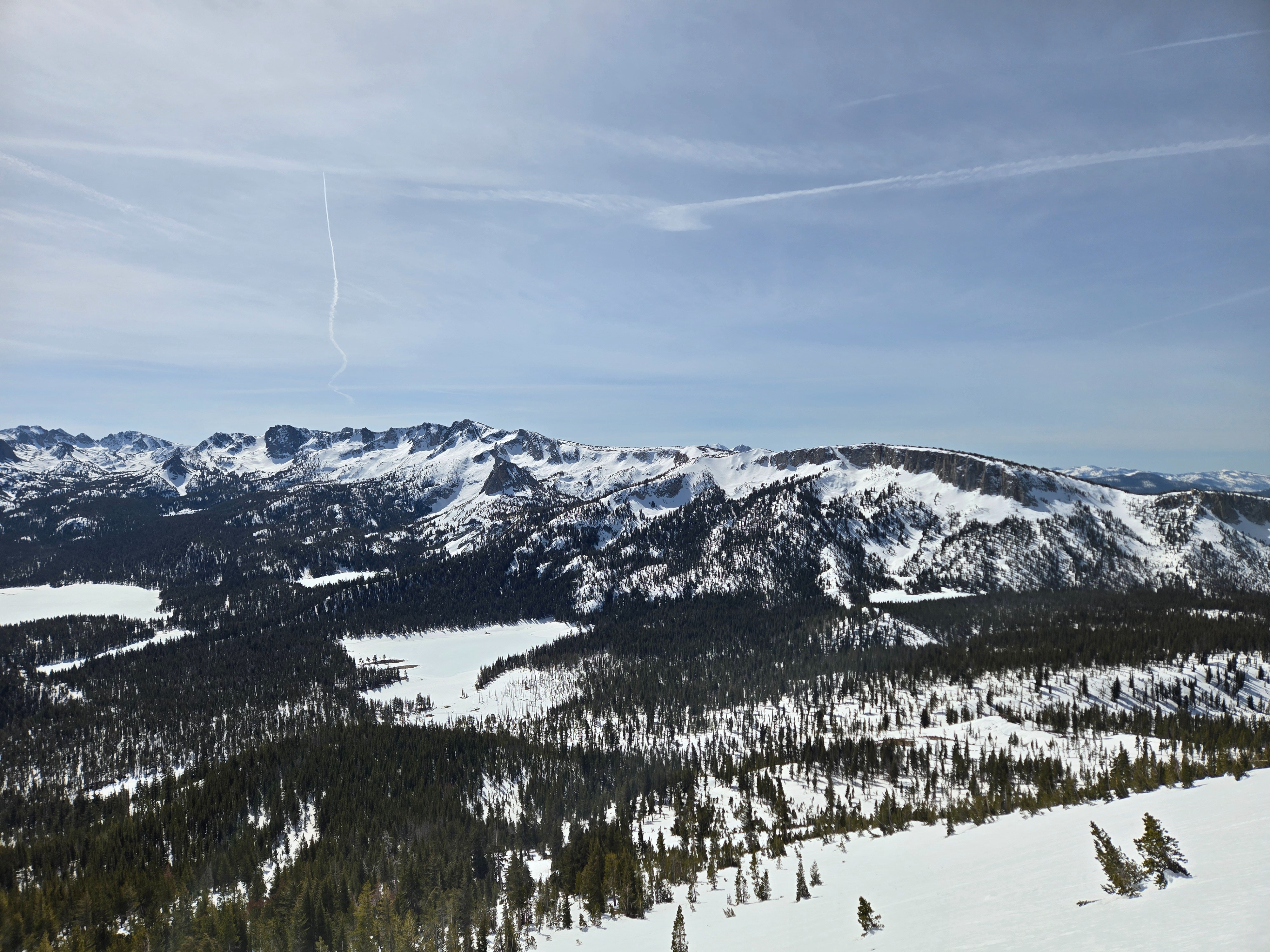
Lovely May day, except it's mid-March. High thin clouds increased to the southwest throughout the day. Winds were light and shifted from the north to more southerly throughout the day.
Snowpack
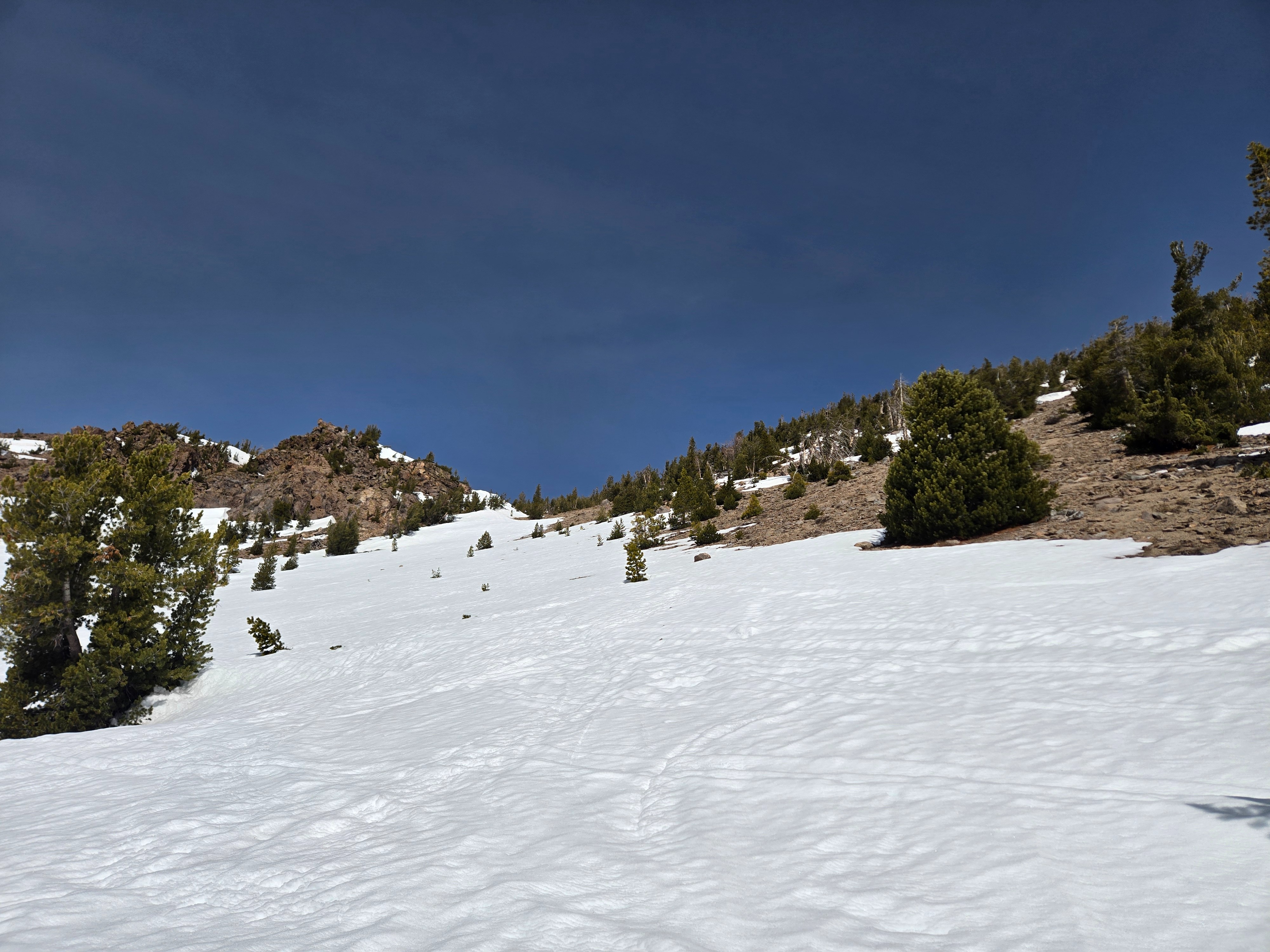
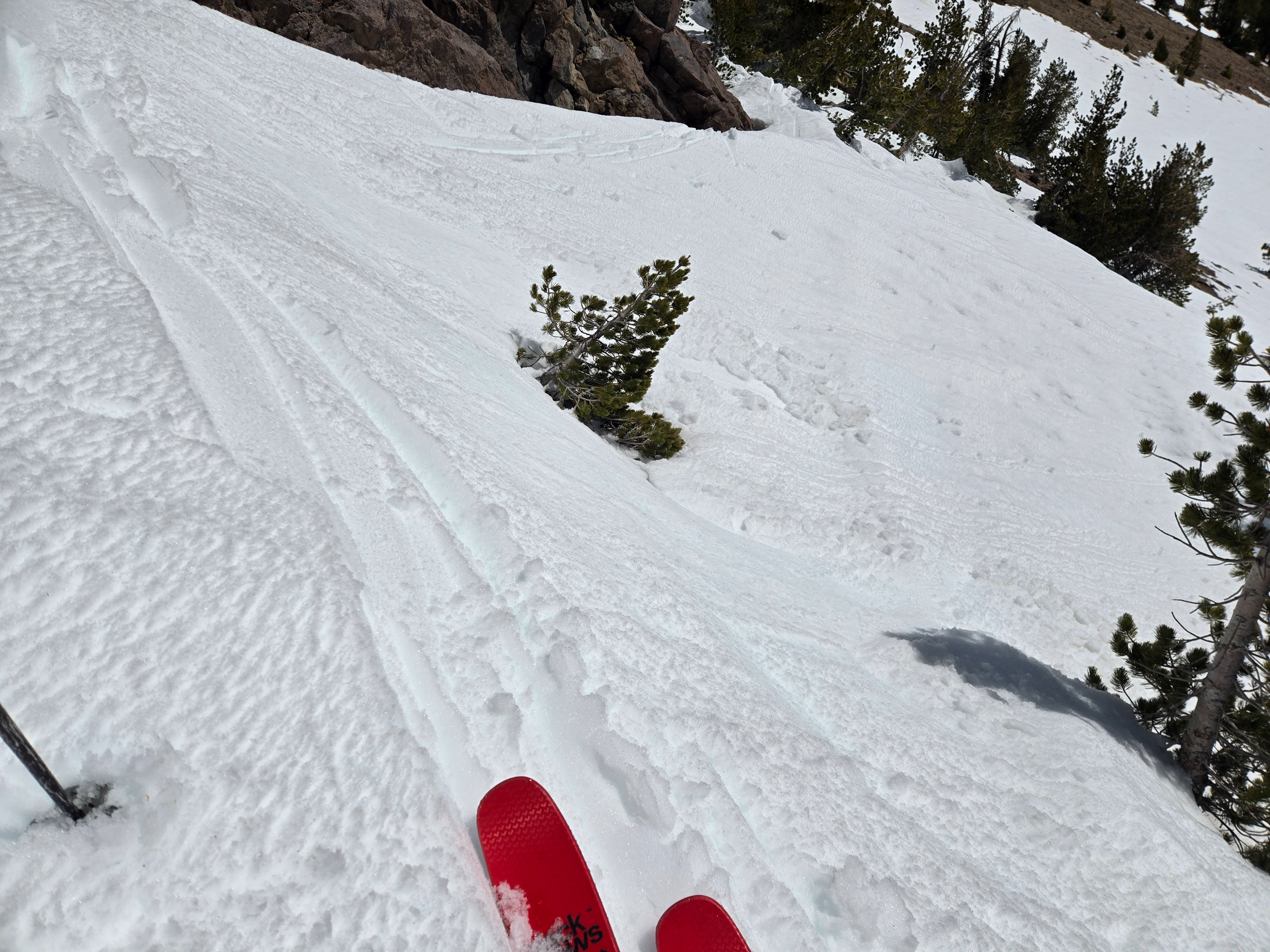
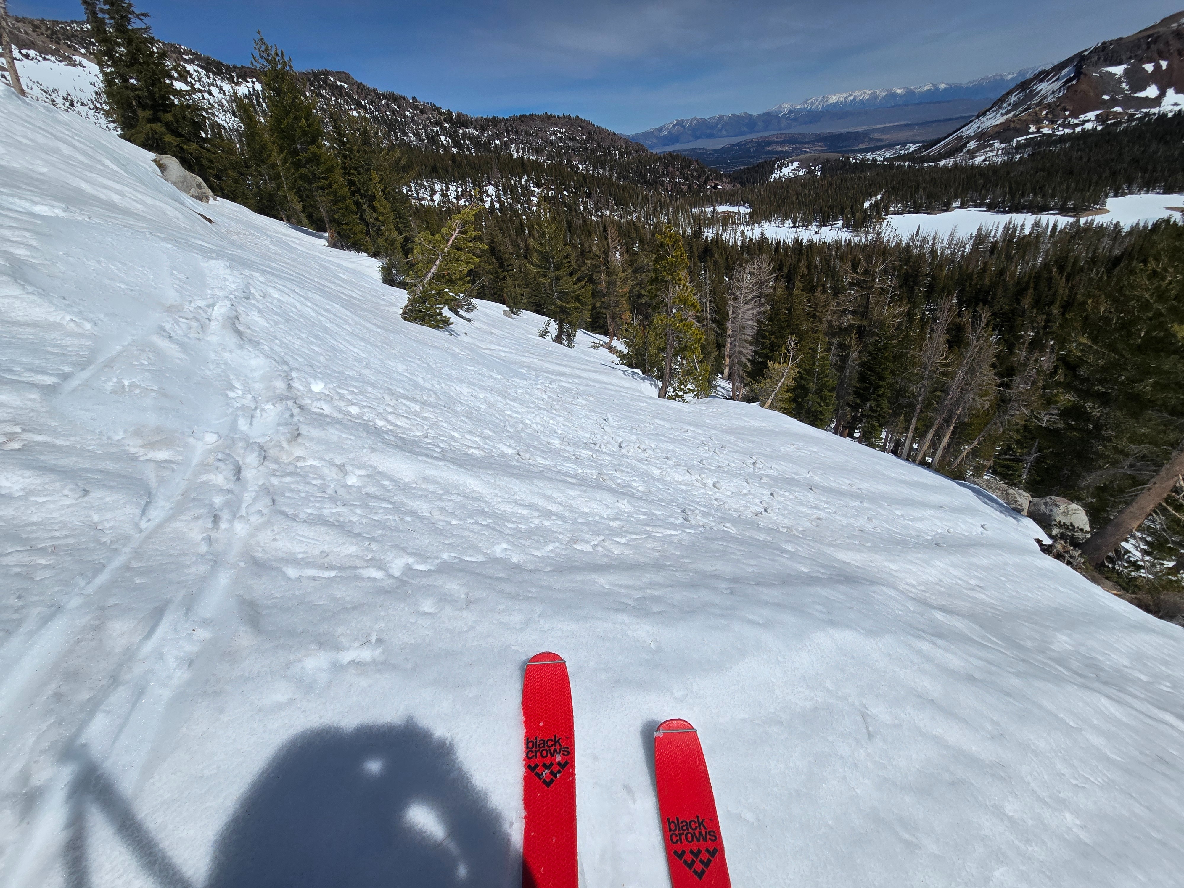
The 8 cm crust that formed at the surface with last night's freeze partially thawed today. Under that crust on solar aspects up to 10,300 ft. and on all aspects I checked below treeline, the snowpack is wet and spring-like melt-freeze grains.
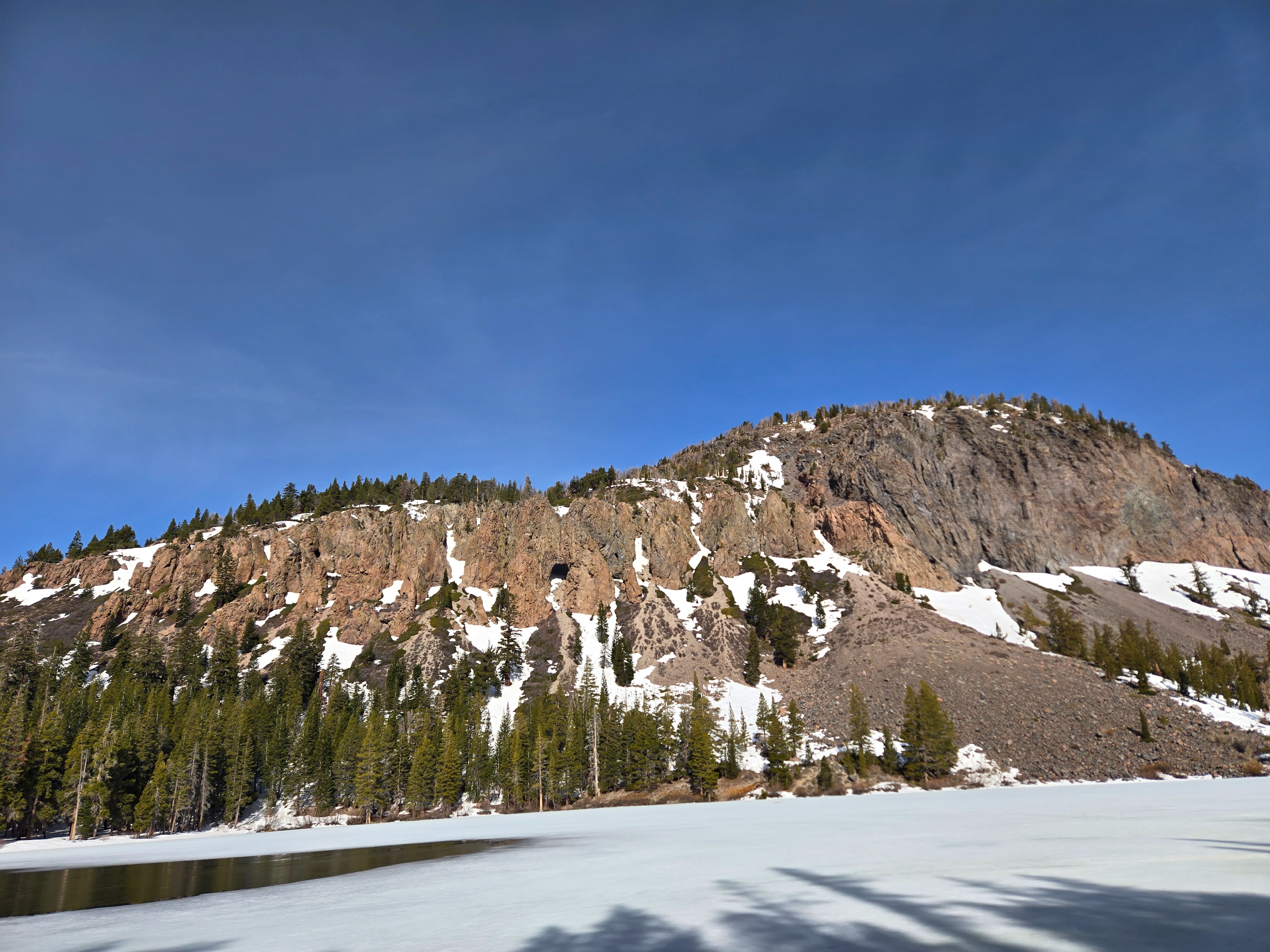
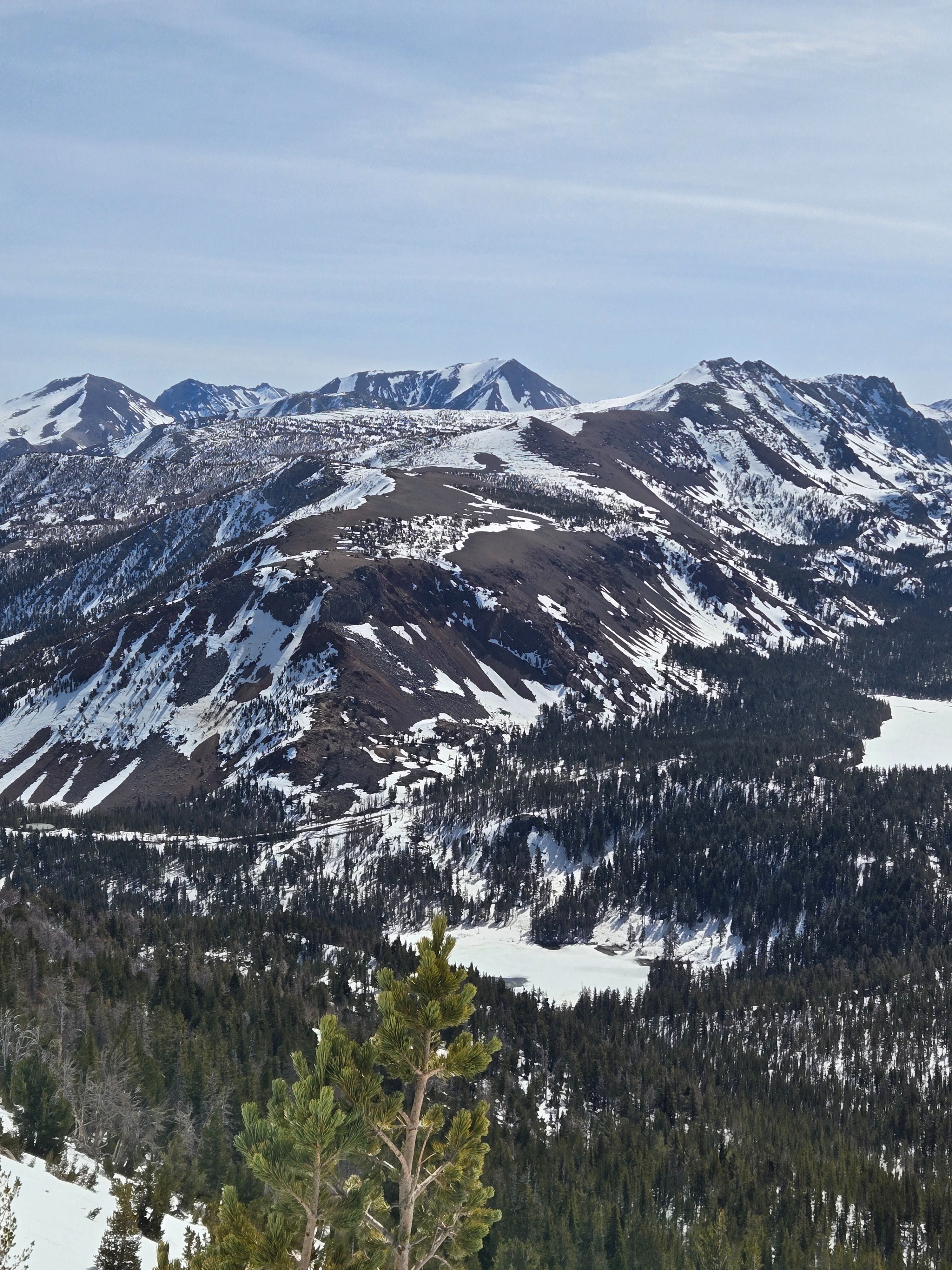
Solar aspects are really melting out, and coverage is getting thin/poor. Especially on slopes that are also stripped by our typical southwest winds.
I dug a profile at 9500 ft. on a northeast aspect near Mammoth Pass that seemed representative of near treeline terrain. I found a similar structure to what we've been tracking in that elevation band: Upper complex of crusts and melt forms over a dry-ish, fine-grained slab. Under the slab, a rain crust buried on 2/10 with moist, larger, rounding facets underneath. I got moderate Propagation Saw Test results in the facets (PST end 51/113).