
Quick report
We went out for a short tour today to try to gauge how much new snow fell in the June area. We also wanted to clue in on the sensitivity of any slab avalanche problem in the near-treeline band and look for rising avalanche hazard below treeline.
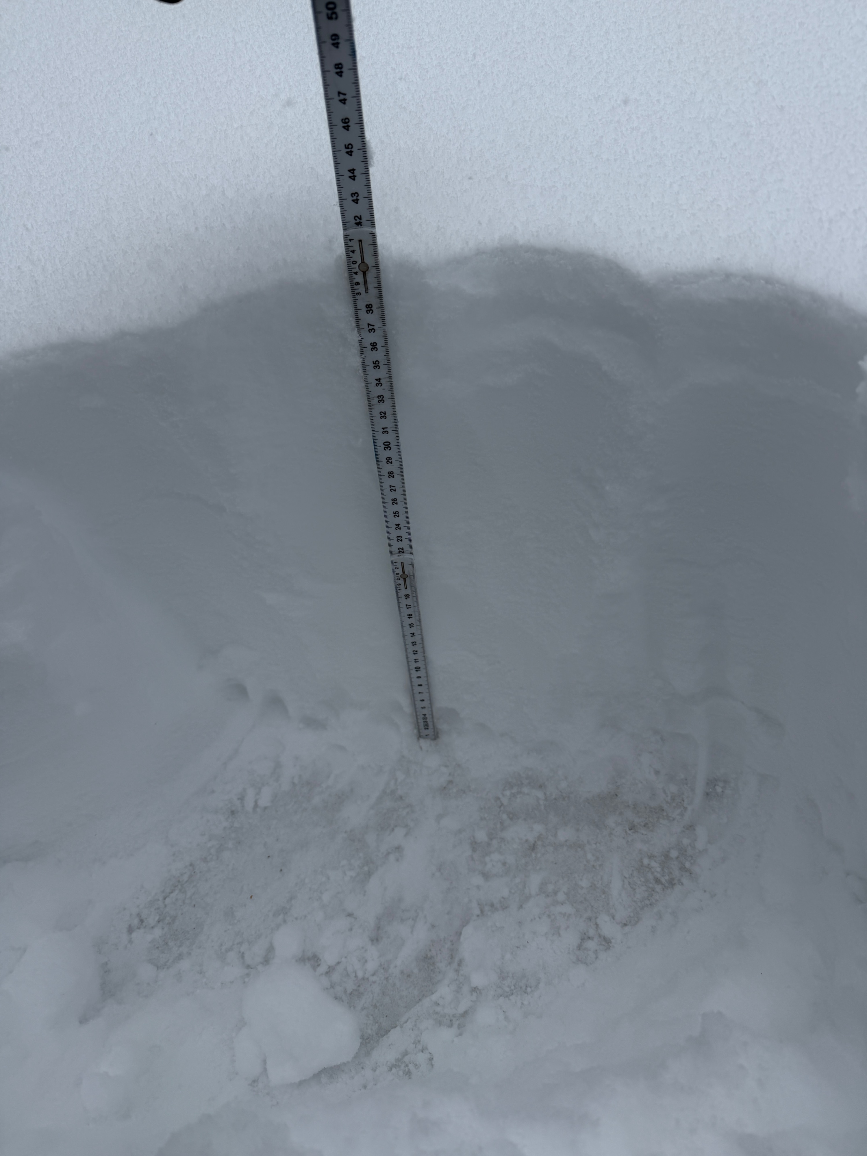
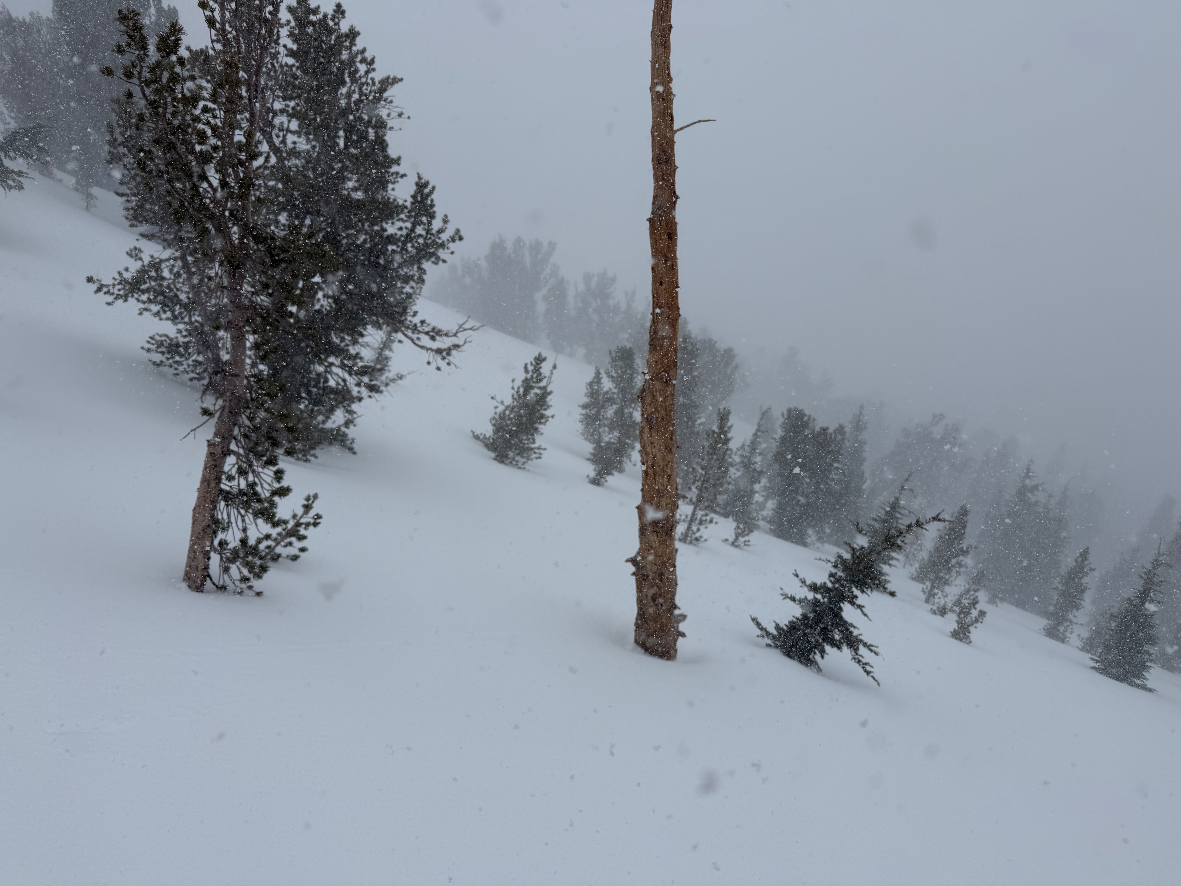
At 11:00 am on a northwest aspect at 9300', in a place less wind affected, we found 40cm of new snow. This number increased throughout the day, and still is as of writing. In the June area, we are thresholding on the high end of what was forecasted to fall this weekend. The amount of new snow increased substantially with elevation, and above 10000', 60 cm+ was found across most of the terrain we traveled on.
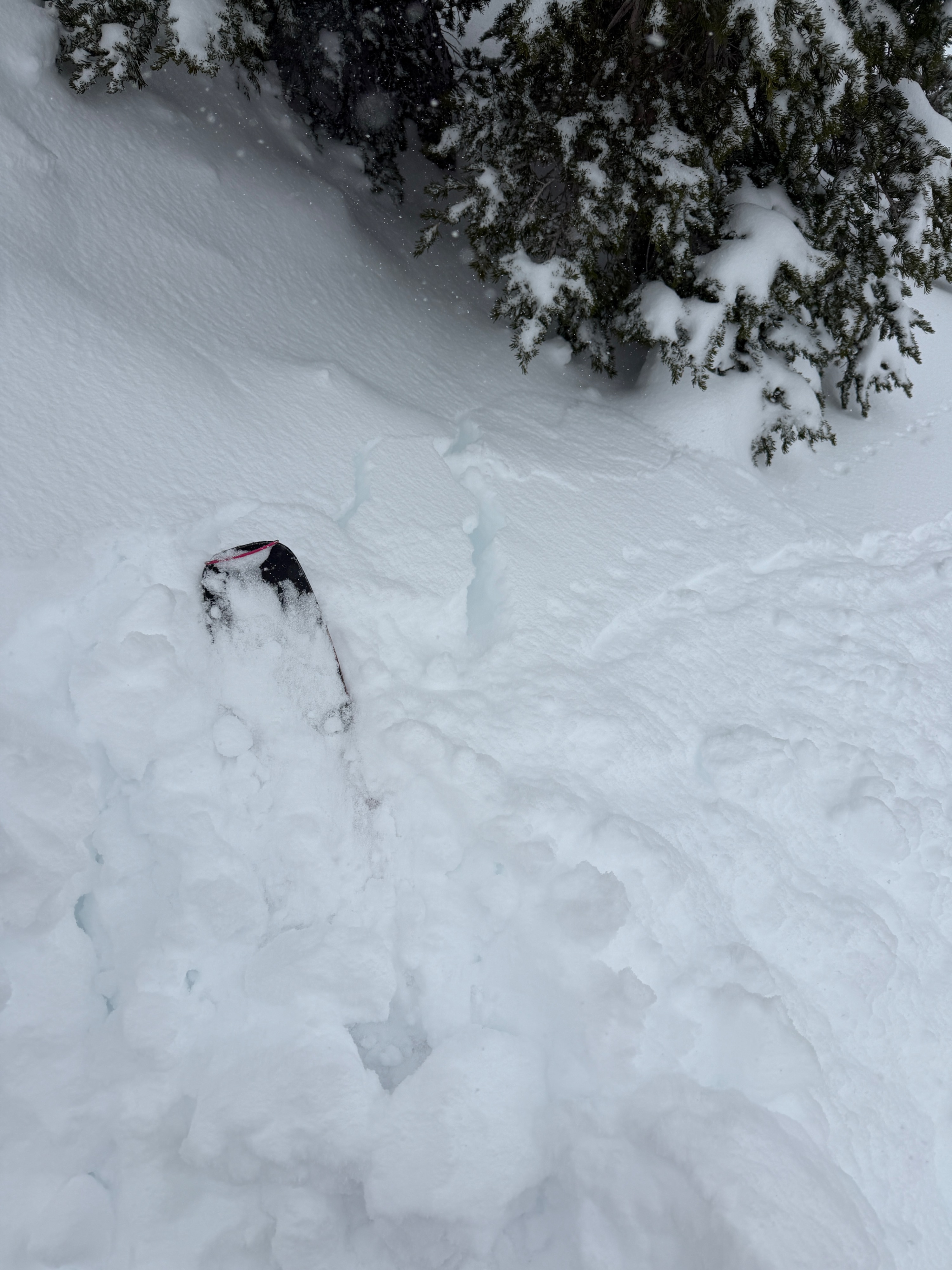
During our travels, we found only the early signs of slab consolidation. Much of the recent snow above 9000' is dry, cohesionless, and lacked strength as a slab. Dry loose instabilities were readily found on steep test slopes, but without significant input from wind, sun, or rapid settlement, we did not encounter widespread storm or wind slab avalanche concerns.
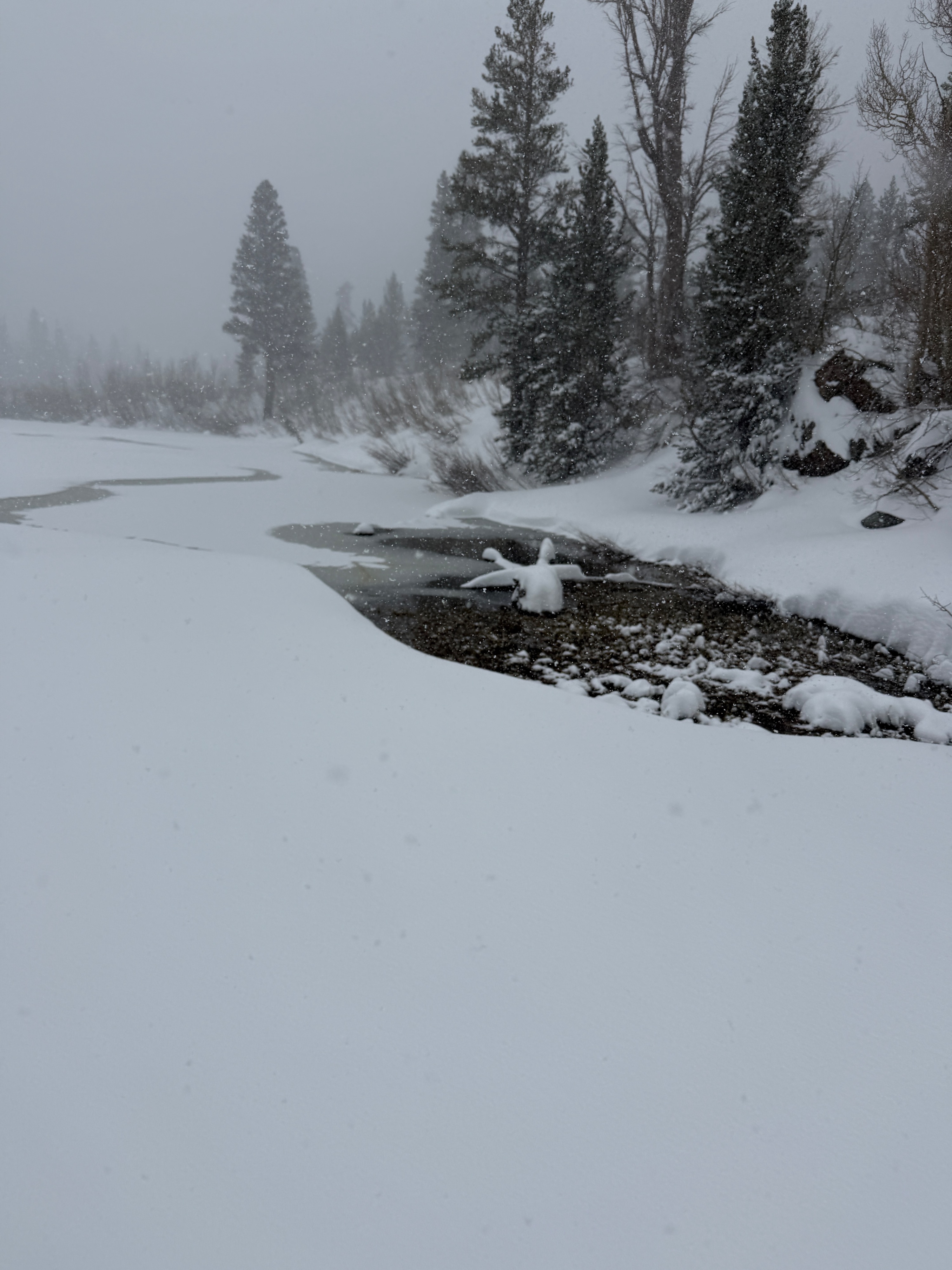
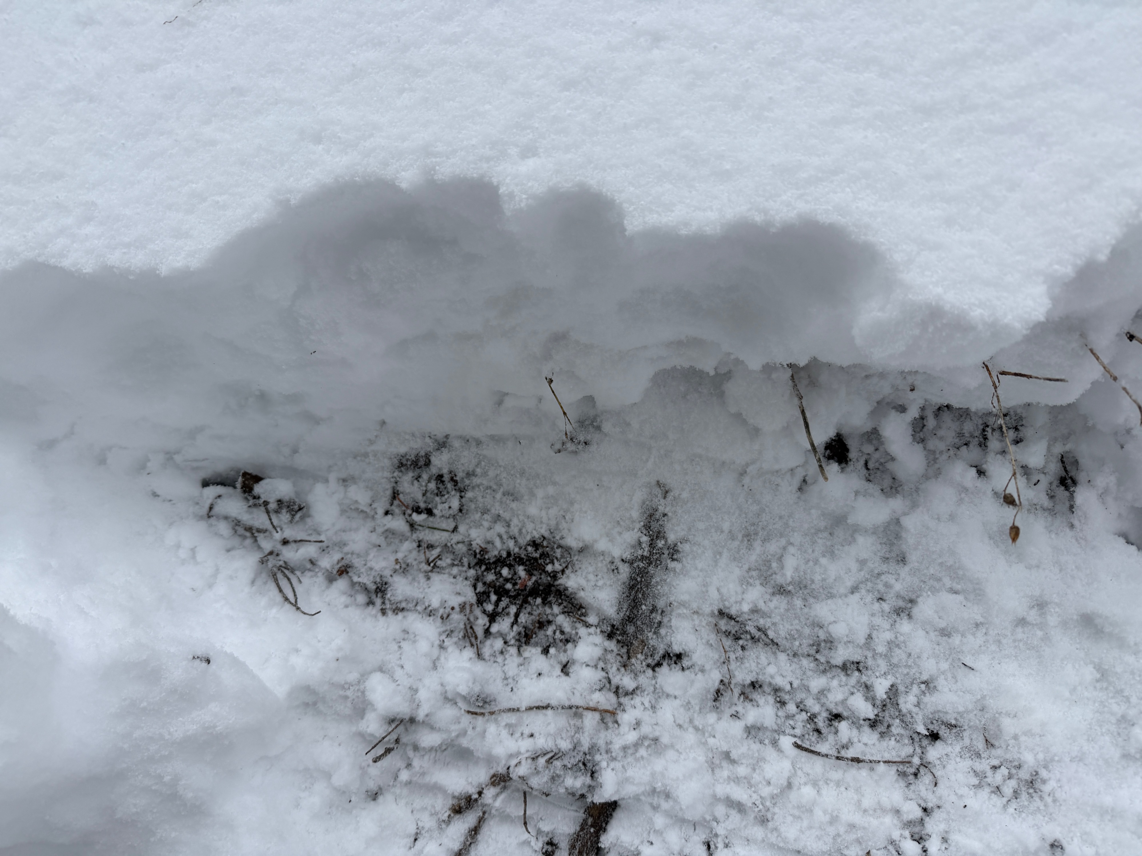
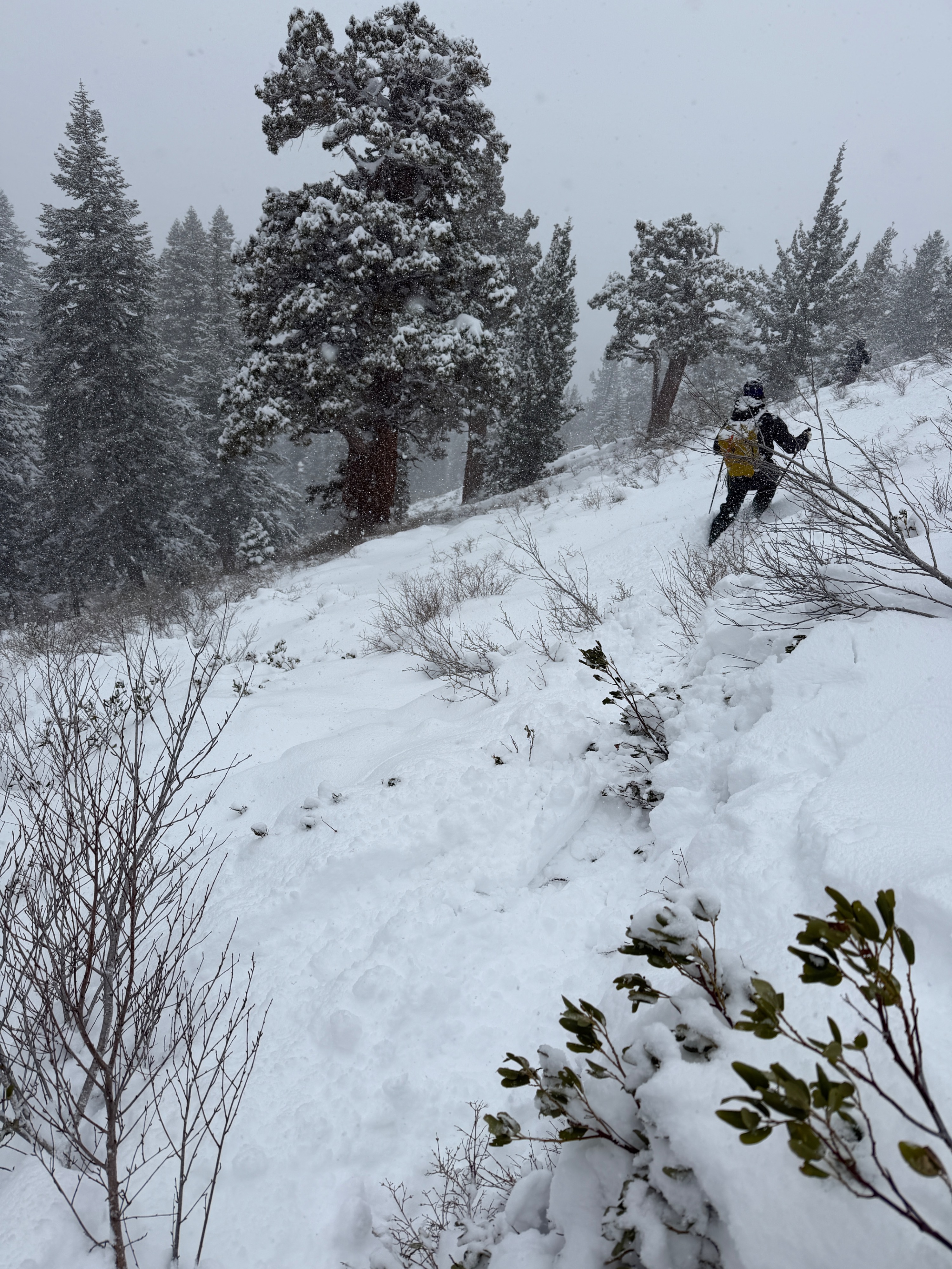
Below 9000, things got wild. We traveled from northwest to north to northeast aspects down to 7500', and brought a touch of optimism from recent satellite imagery along with our hopes and prayers. Someone's gotta do it. Most of our new snow is landing on dry ground, and travel is dangerous due to the number of small, slightly covered hazards. Below 9000', we did not encounter any slab avalanche or loose avalanche concerns, and despite thresholding on the high end of what was forecasted, it's unlikely the avalanche hazard below treeline really ramps up over the next 24 hours.
We found isolated cracking within the new snow, specifically in pockets where new-snow totals exceeded 50cm. We did not trigger any slab avalanches, but did find some short-running, loose dry instabilities.Weather
- Air Temp
- 25
- Cloud Cover
- obscured
- Wind Loading
- light
- Recent Snowfall
- 40
- Snow Avail For Transport
- moderate amounts
S2+ after 10:30 am, with variable precipitation intensity through the day. Winds were generally light out of the southwest but were filtering variable and not significantly transporting recent snow in the near-treeline band. Obscured skies.
Snowpack
40-60cm of storm snow is sitting above our frozen, old melt freeze interface. The new snow is generally low density, "right-side-up", and Fist to 4 Finger in hardness. While the bed surface is slick and a prime sliding surface, during our tour, we did not find the storm snow to have any strength as a slab. Continued loading and settlement, variable precipitation intensity, or sun and wind enhancing the slab strength will increase the sensitivity of both wind and storm slab avalanche concerns.
Below 9000', the majority of our new snow is landing on dry ground or exceptionally patchy old snow. The primary hazard below 9000' is travel, with just enough snow to cover up small hazards, and make travel downright sketchy.