
Quick report
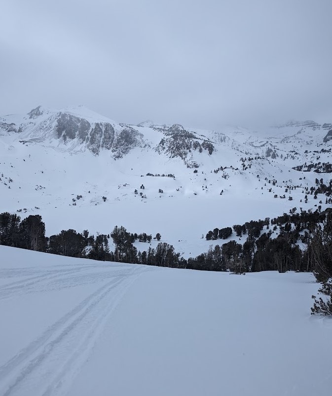
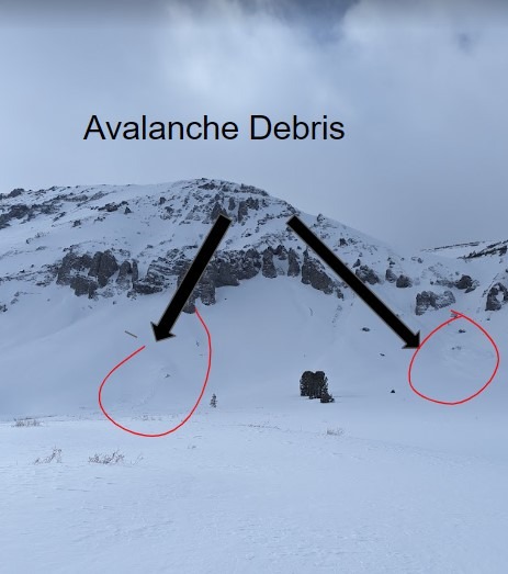
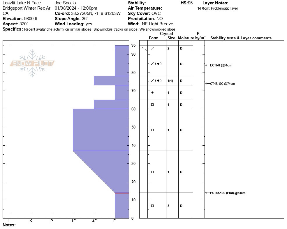
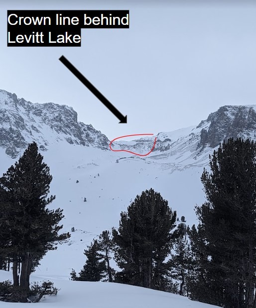
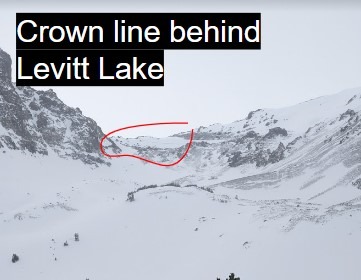
With the BWRA meeting snow depth requirements for motorized use, we rode to Leavitt Lake to get a full view of the landscape and see how this weekend's storm affected the snowpack. We could see crown lines on N, NE, and E aspects. The light was flat and created difficult conditions for viewing the avalanche debris from a distance. We dug a snowpit on the North Slope of Leavitt Lake in order to continue to monitor the Persistent weak layers at the base of the snowpack. Although an "upside-down" structure exists with weak sugary facets at the base and stronger consolidated snow further up in the snowpack stability test did not produce signs of instability in this location. We will continue to monitor the PWL at the base of the snowpack as more snow is forecasted to arrive this week. Although we are not seeing a reactive snowpack in our pits, natural avalanches have occurred during the last storm and it is possible to find a thin spot in the snowpack and cause an avalanche. It's been a long wait for the start of the motorized season, don't let powder fever overcome cause route finding and conservative decision-making.
A few crown lines were observed on N, NE and E aspects above the treeline. Difficult to see in flat light, We only observed them from a distence and were unable to investigate further todayWeather
- Air Temp
- 26F
- Cloud Cover
- overcast
- Wind Loading
- moderate
- Snow Avail For Transport
- moderate amounts
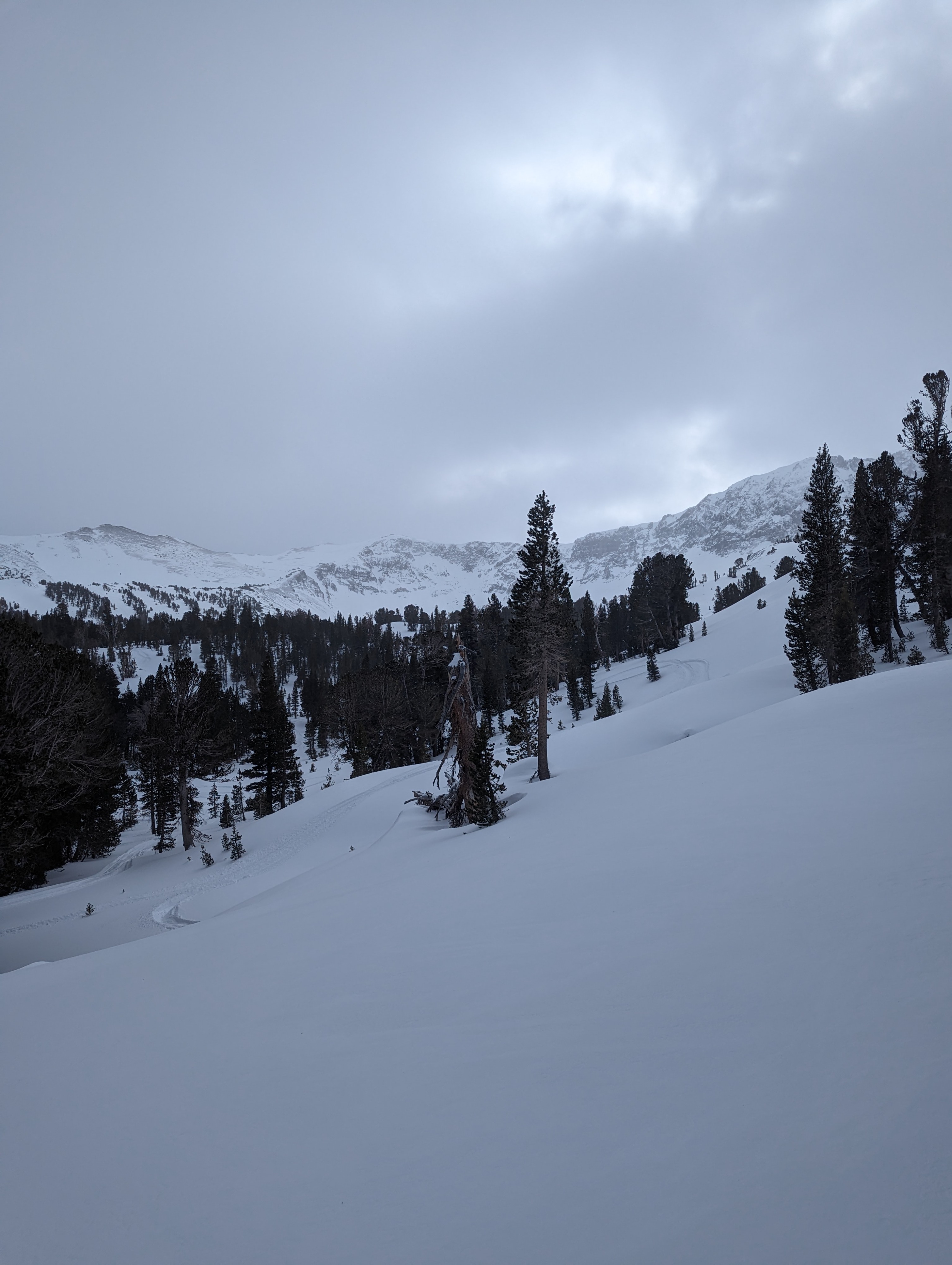
Leavitt Lake was fully overcast as we traveled through the cloud bank above 9k