

Quick report
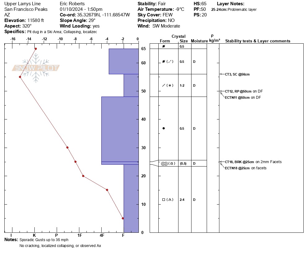
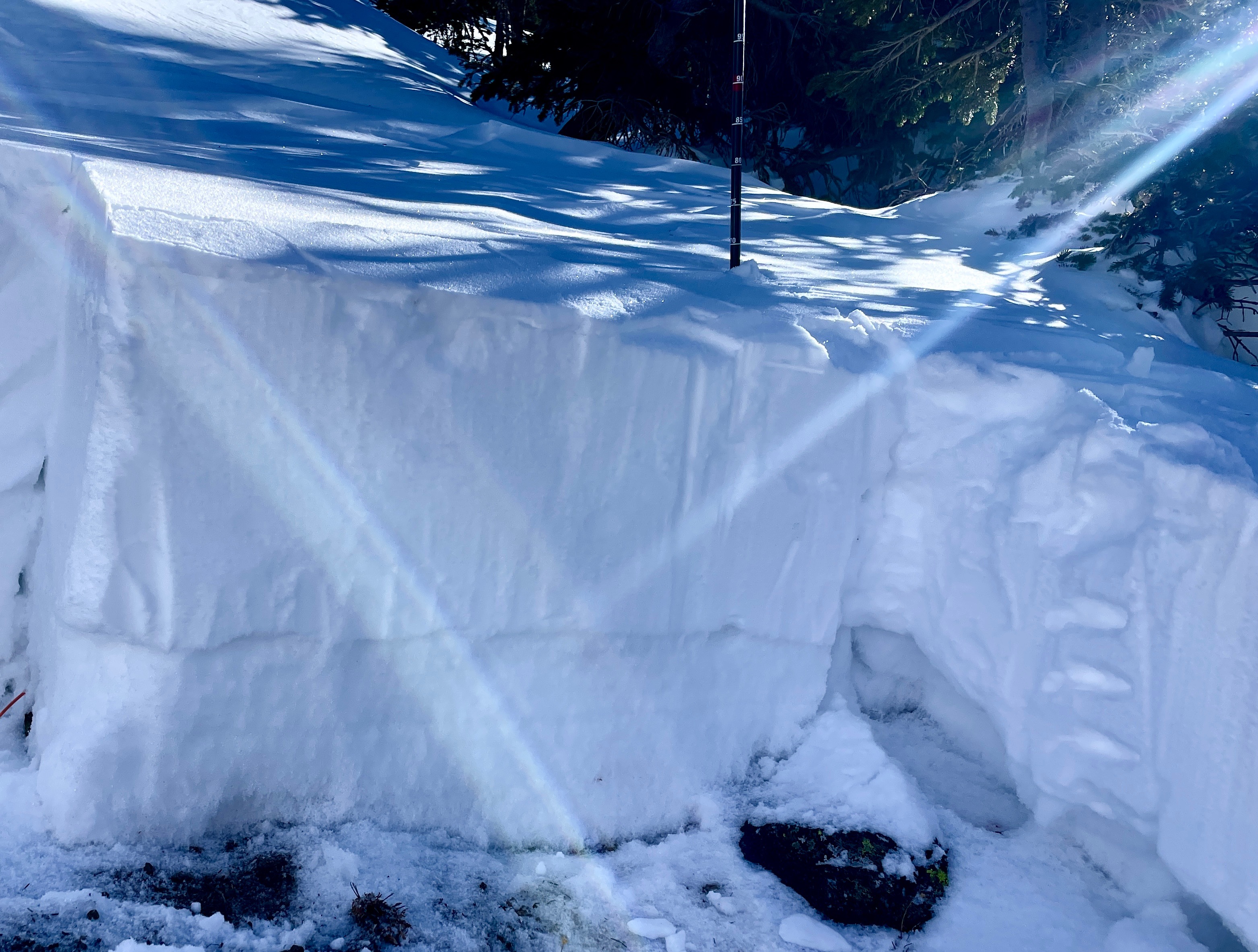
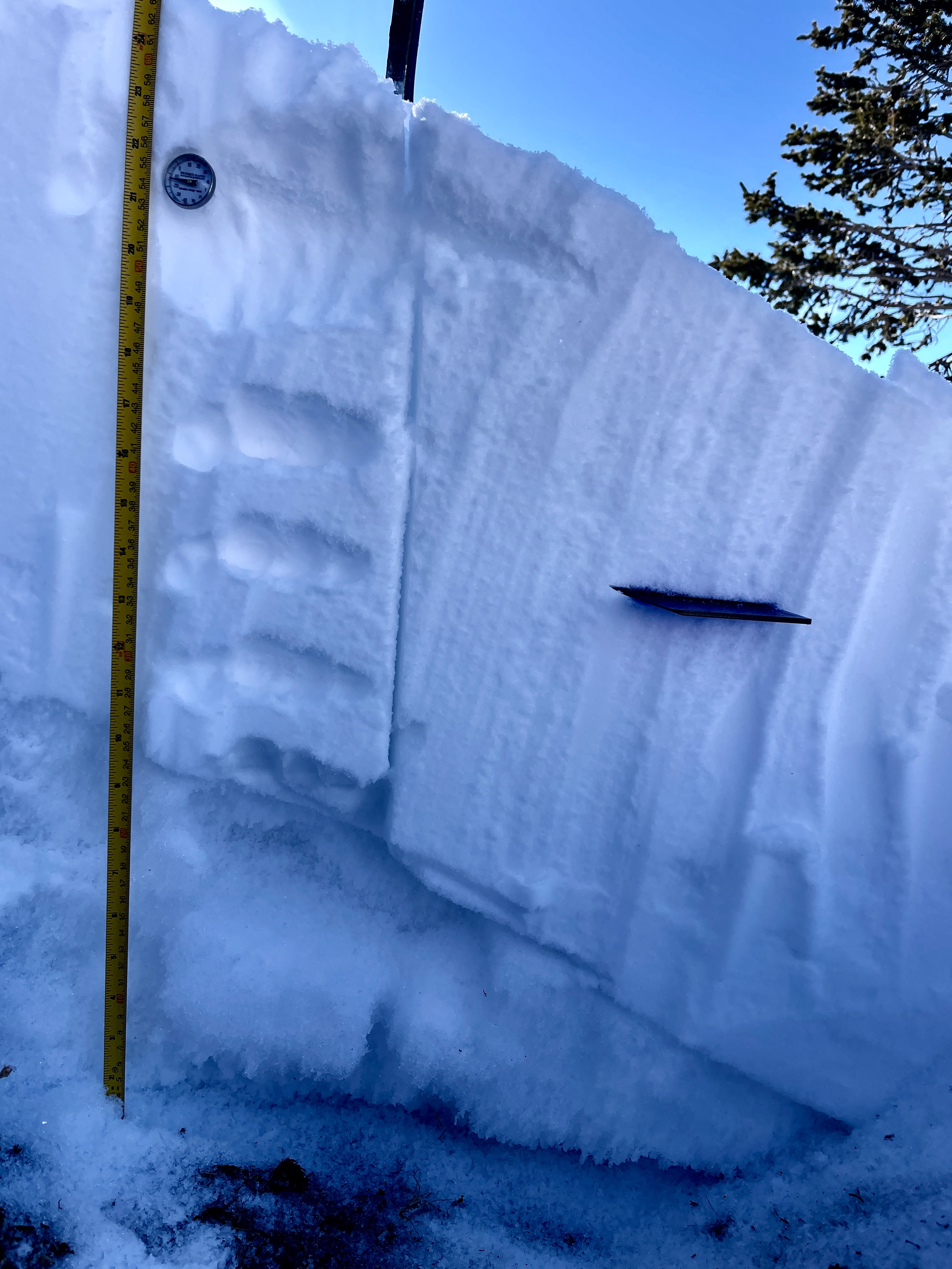
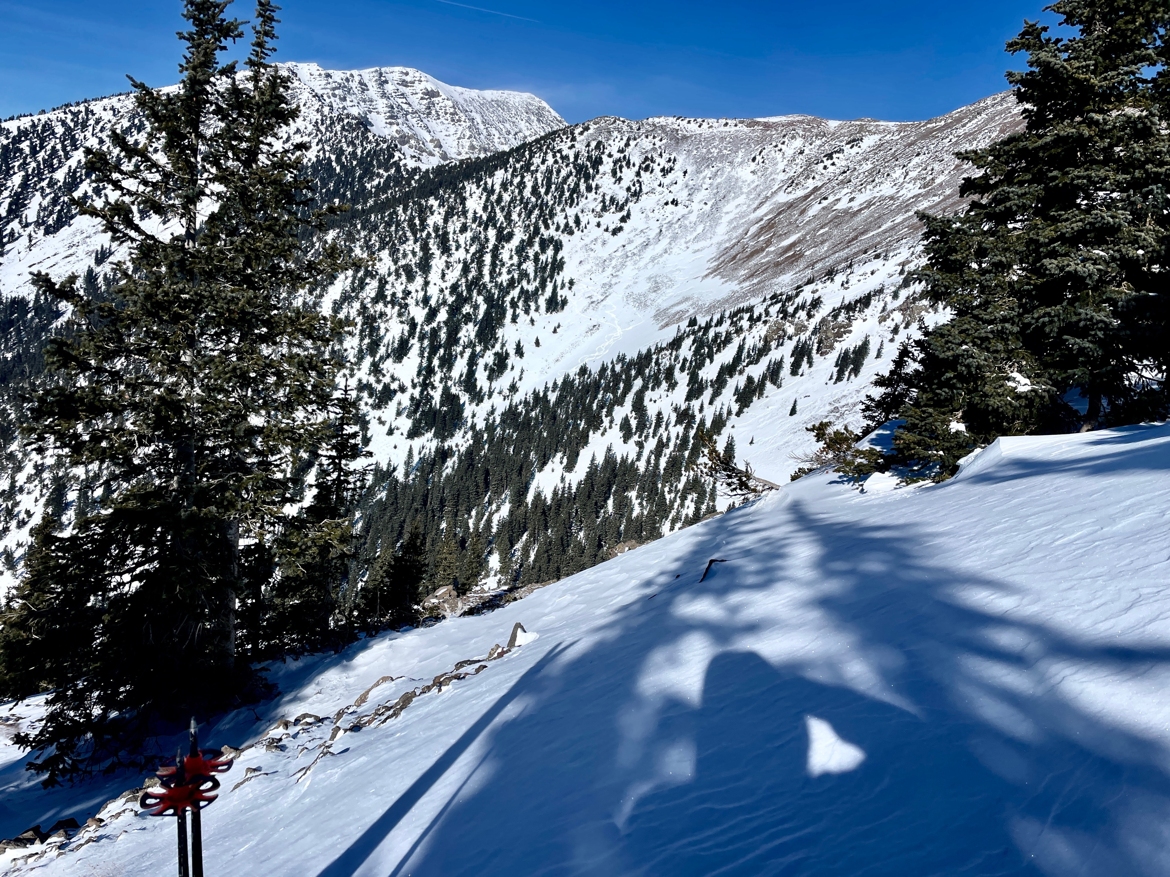
In general, my focus was to assess distribution, depth and reactivity of faceting within lower snowpack and potential wind slabs that are widespread on exposed surfaces. Small column tests provided clues to the 4F-F microlayers of the previous storm potentially being insulated by the stiffened wind surface. Large column tests showed low energy on the lower faceted snowpack showing advanced faceting and a strong temperature gradient. No cracking, collapsing or recent avalanches. Wind effect in exposed areas has created a spectrum of variability in snowpack dpeth from exposed talus to 90cm (observed).
Weather
- Air Temp
- 14 F-18F
- Cloud Cover
- few
- Wind Loading
- light
- Rain Elevation
- N/A
- Recent Snowfall
- not within 48 hours
- Snow Avail For Transport
- moderate amounts
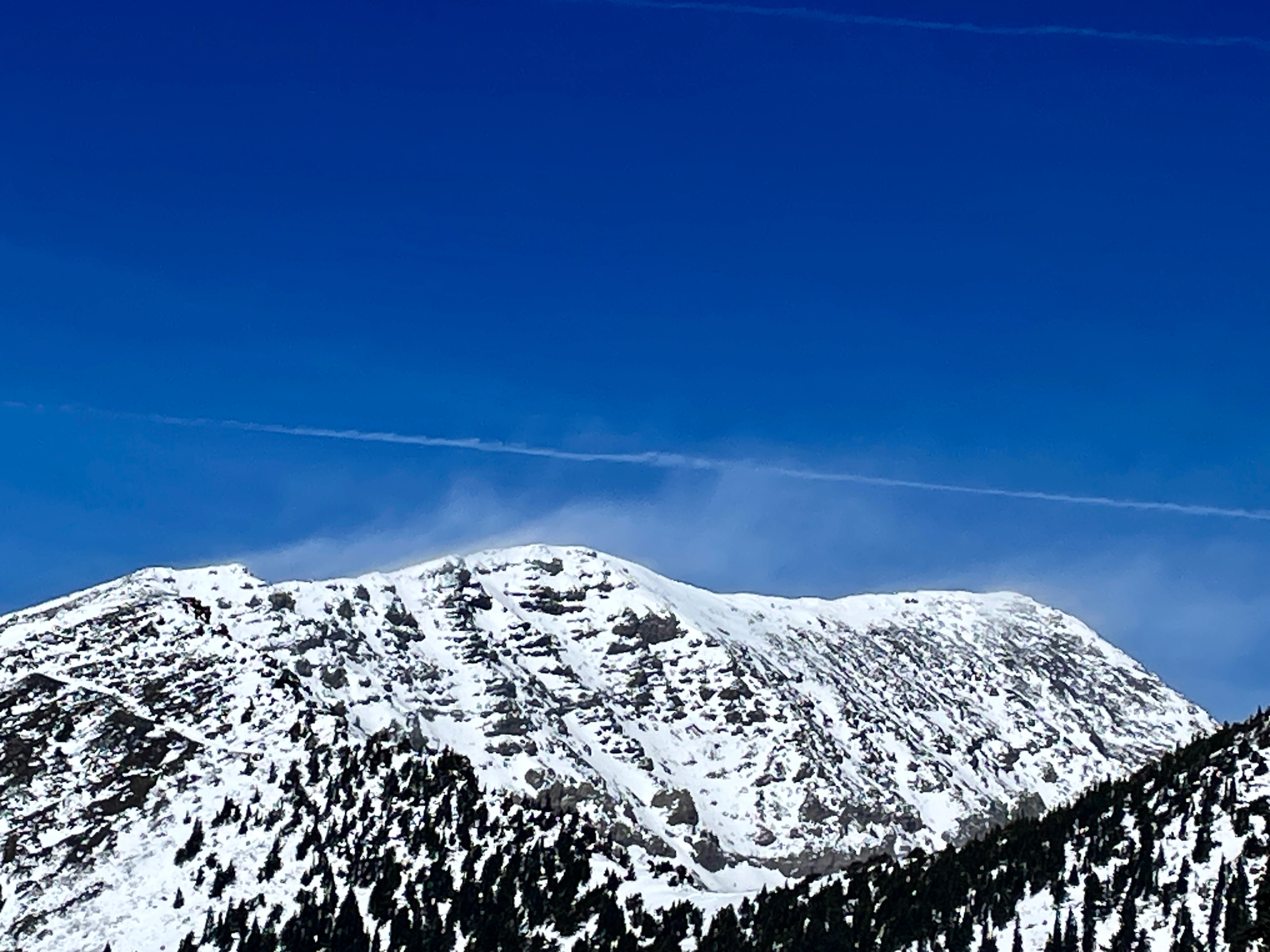
Moderate to Strong SW winds above 10,500' with increasing gusts up to 31 mph above 11,500' in PM. Clear to scattered AM--->PM No Precipitation, No Rime,
Snowpack
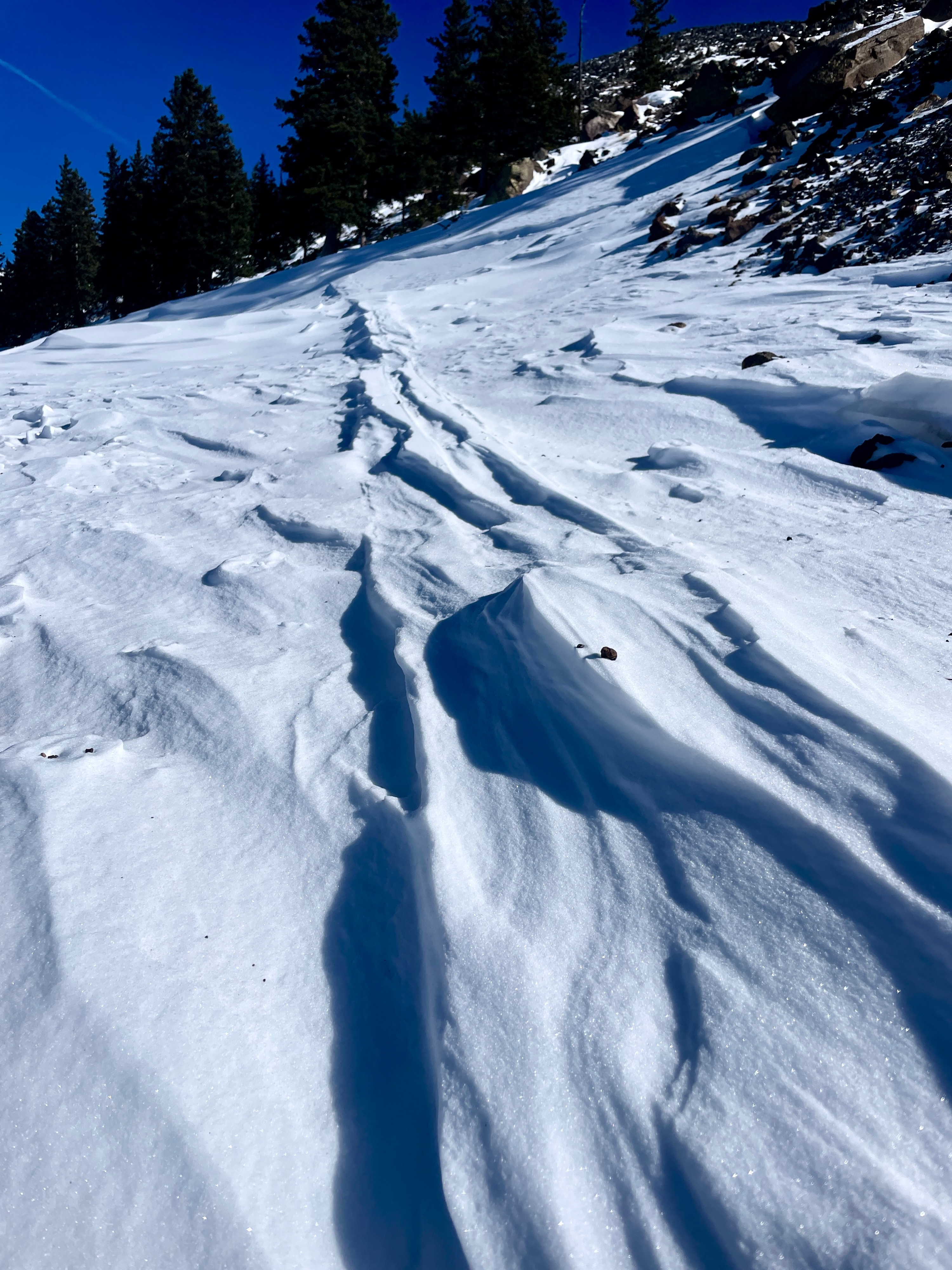
Snow Surface: Wind stiffened surfaces of 1cm-10cm (4F) windpacked rounds and decomposing fragments were widespread due to consistent high winds and sporadic gusts from previous 48 hours early AM through PM. Antitracks and evidence of wind scouring visible from 48 hours prior when storm was settling. Sheltered terrain harbored softer surfaces with thin wind skins 1cm +/-. Layer of Concern: MF/Facet combo approximately 40cm down at 11,580'. Layer to Track: Upper snowpack wind slab formation and temperature gradient of upper snowpack as cold days/night approach. *See Snowpilot for details*