
Quick report
- Collapsing
- specific
On the descent from the glider launch, I was able to get a collapse/whumph on a small, firm, previously wind-loaded lens (10x15'), SW aspect at 3,900'. The hard slab, approximately a foot thick, failed on small, 0.5-1mm facets and was not connected to enough additional snow, nor was it steep enough to slide downhill. It is indicative of other areas that have enough snow to look fun right now; if it's smooth and firm, it likely means firm over weak snow. While our relatively meager snowpack means these slabs are neither wide nor deep, you still could take an uncomfortable ride onto rocks.
Weather
- Air Temp
- 15
- Cloud Cover
- clear
- Wind Loading
- previous
- Snow Avail For Transport
- small smounts
Cold, clear, calm and beautiful. It is that time of the year when
Snowpack
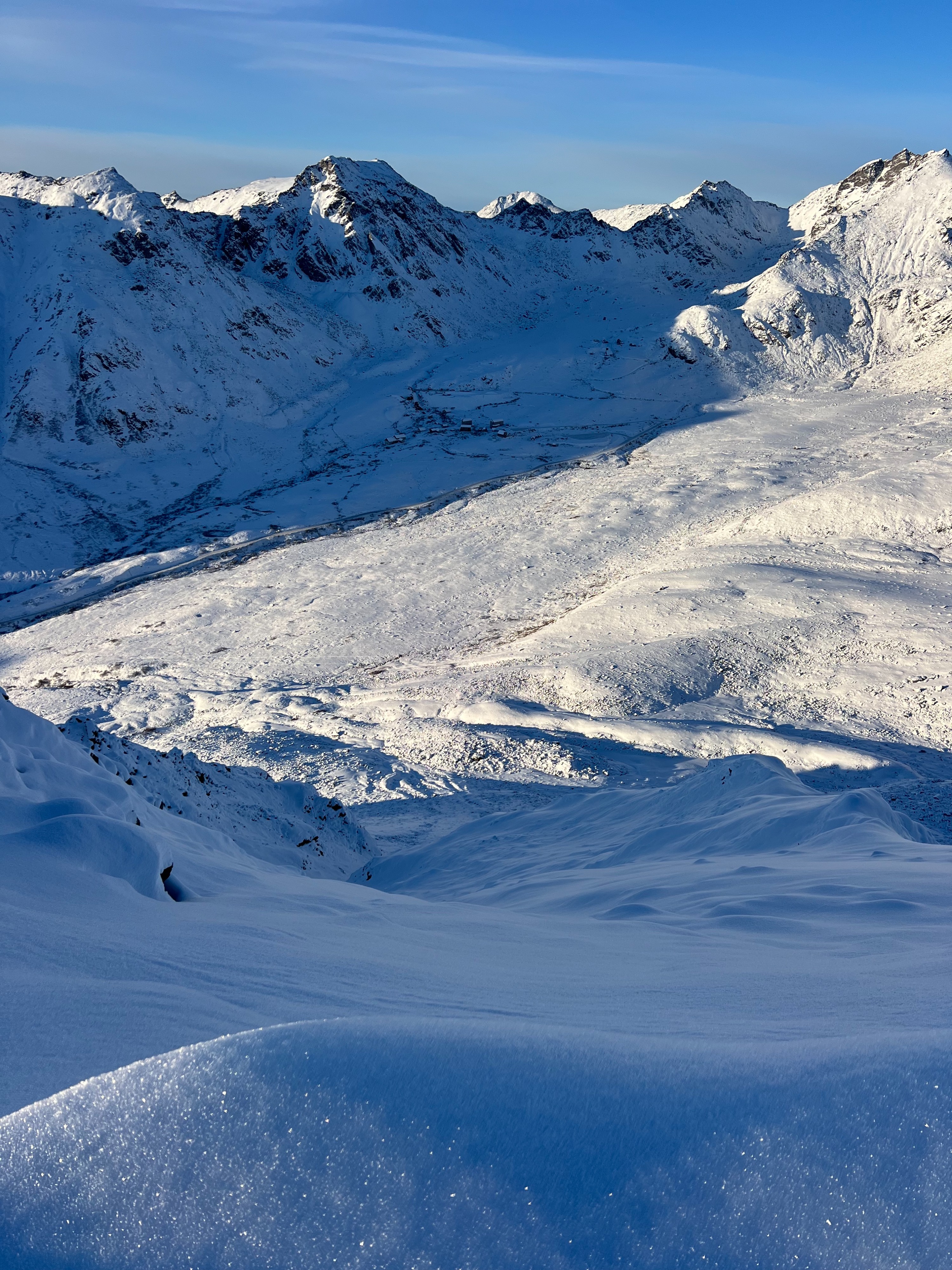
The snowpack remains shallow--hence the walking versus touring. The unconsolidated, faceted snow was deep enough to be slippery and wallowy going up and down, but not deep enough that we were post holing--less than a foot of coverage until about 4,000' where you can find more snow on windward slopes and less snow on lees. Strong gusts last week (predominantly E/SE) transported a fair amount of snow (see photos).
Protected areas had small, 1-3mm surface hoar with near surface faceting just below. These areas are totally unconsolidated and had full-depth boot penetration. That is another way to say if you were on board(s) you would hit rocks and not float over the top of them. Wind exposed slopes were firm and had a variety of crusts or hard slabs. I was able to initiate a failure with my body weight walking out onto a small, pencil hard, firm lens (see instability comments above and photo below). Most areas had 1-2mm well-developed, angular basal facets at the bottom of the snowpack at the ground.
Avalanche
- Size
- D1.5 R2
- Type
- HS
- Aspect
- W
- Elevation
- 4300 ft
This appeared to be a natural slab avalanche that was likely triggered during moderate gusting strong winds between the 17th and 20th. It is possible that it was hiker triggered sympathetically from ridgetop during this window. Note that there is a separate, smaller D1 avalanche in the gully south of the Midrib. This piece of terrain is our textbook setup at present: there's only enough snow to make turns in the top 100-200' of the run and you would probably still find some rocks as you descend into less wind-effected, faceted snow. This avalanche released in an area with smooth, firm, wind-loaded features directly below ridgeline.