
Quick report
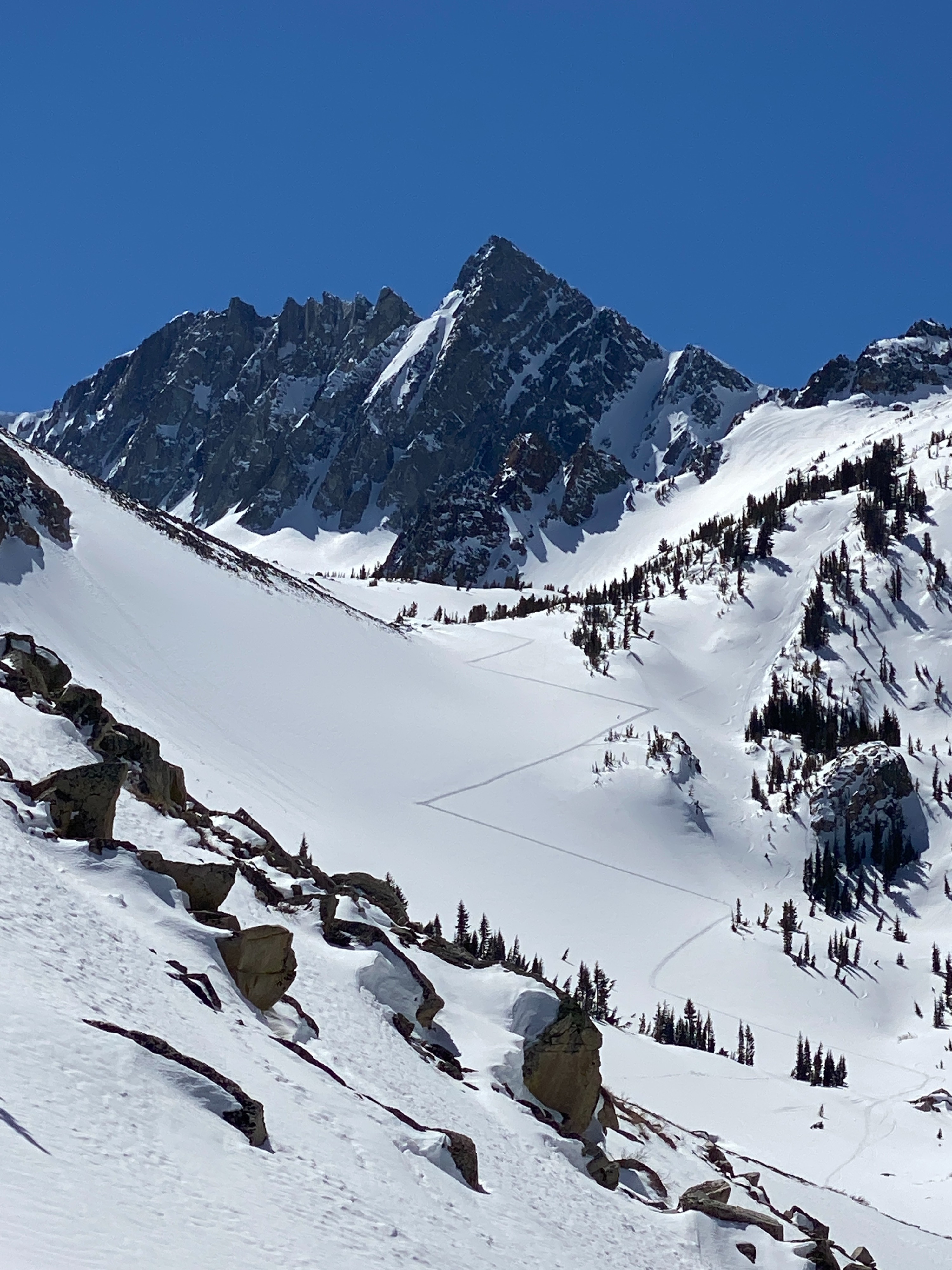
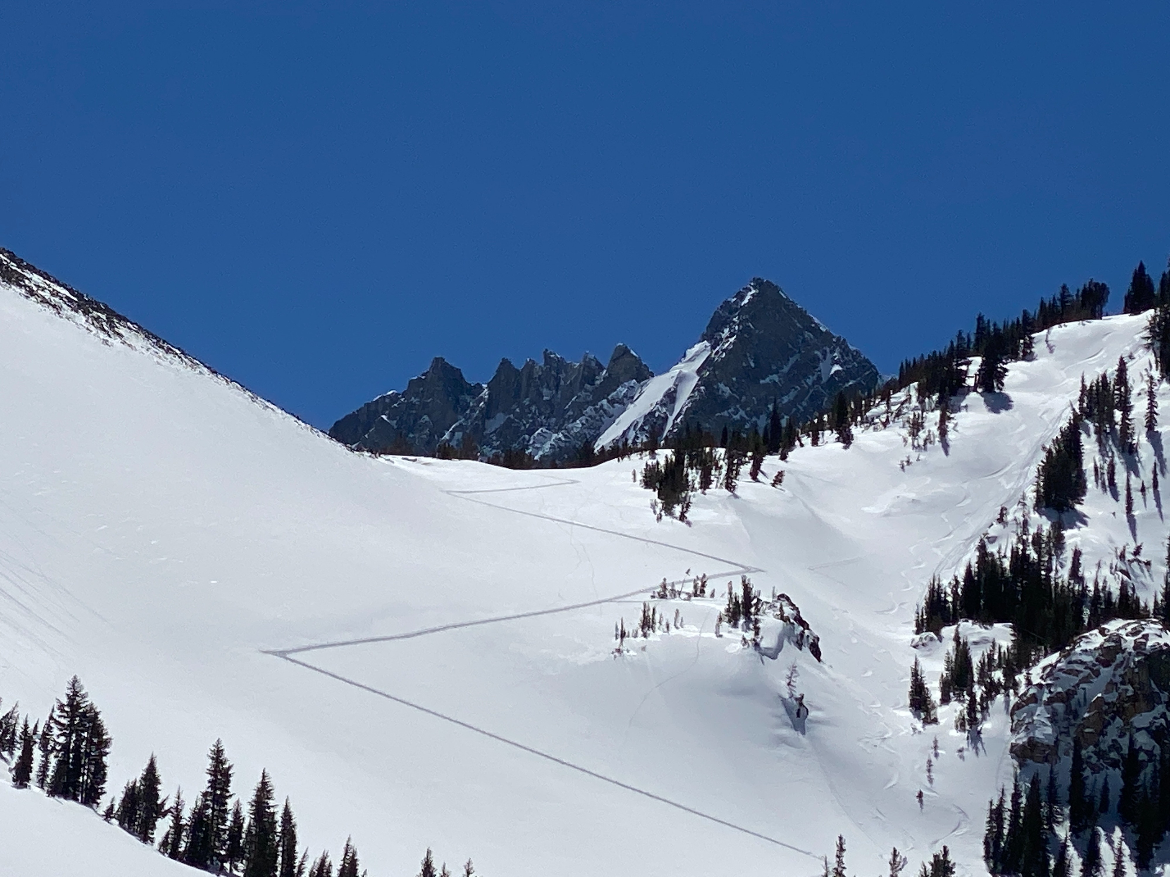
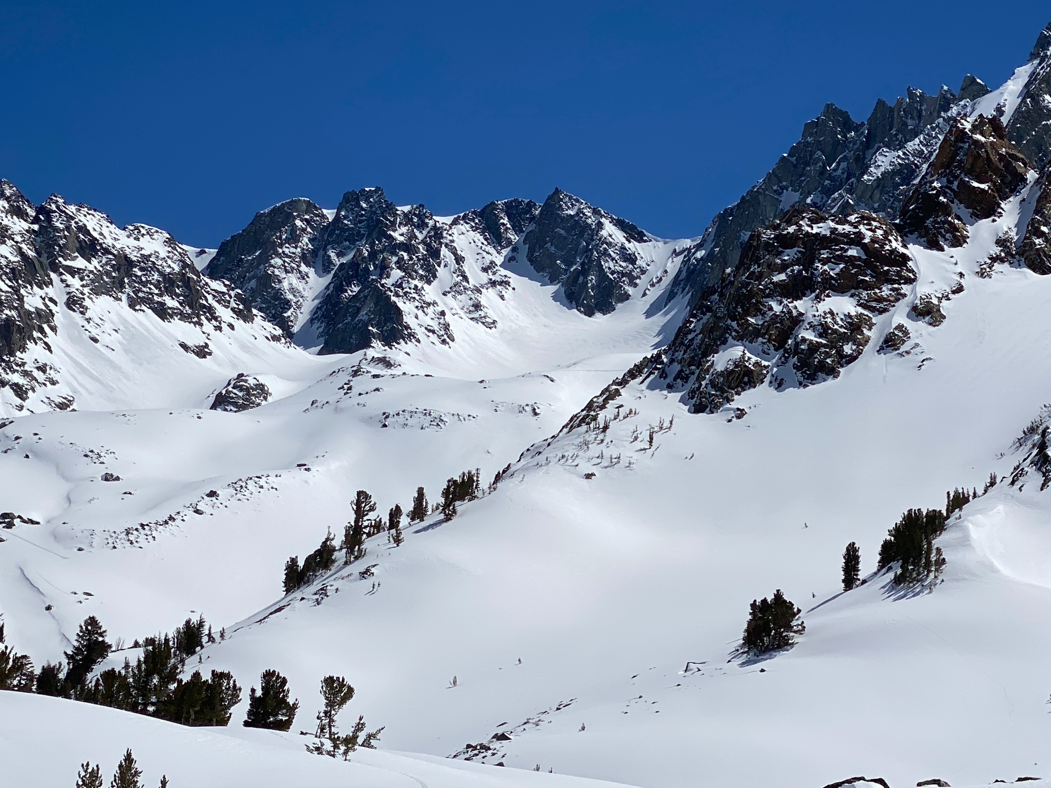
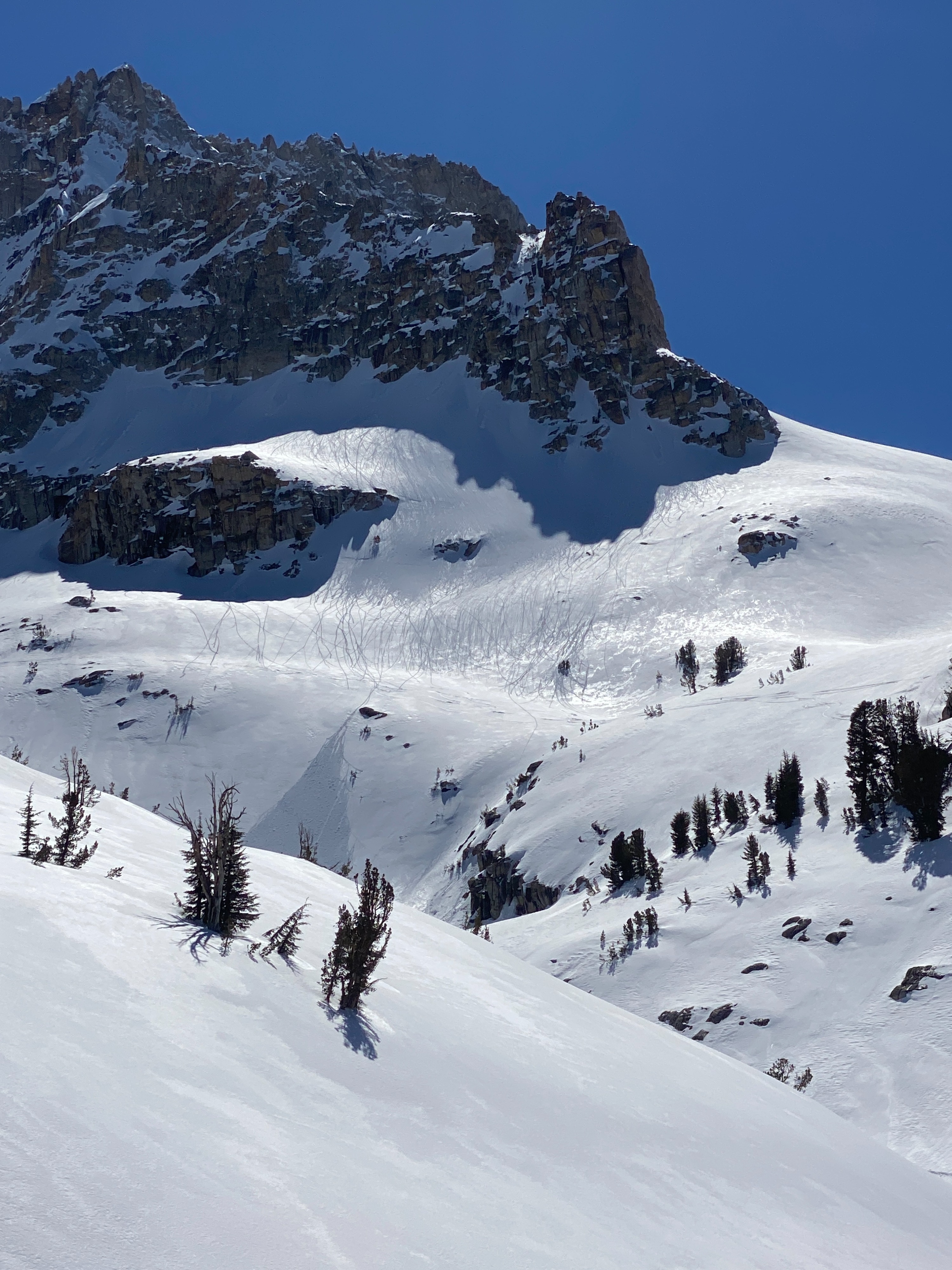
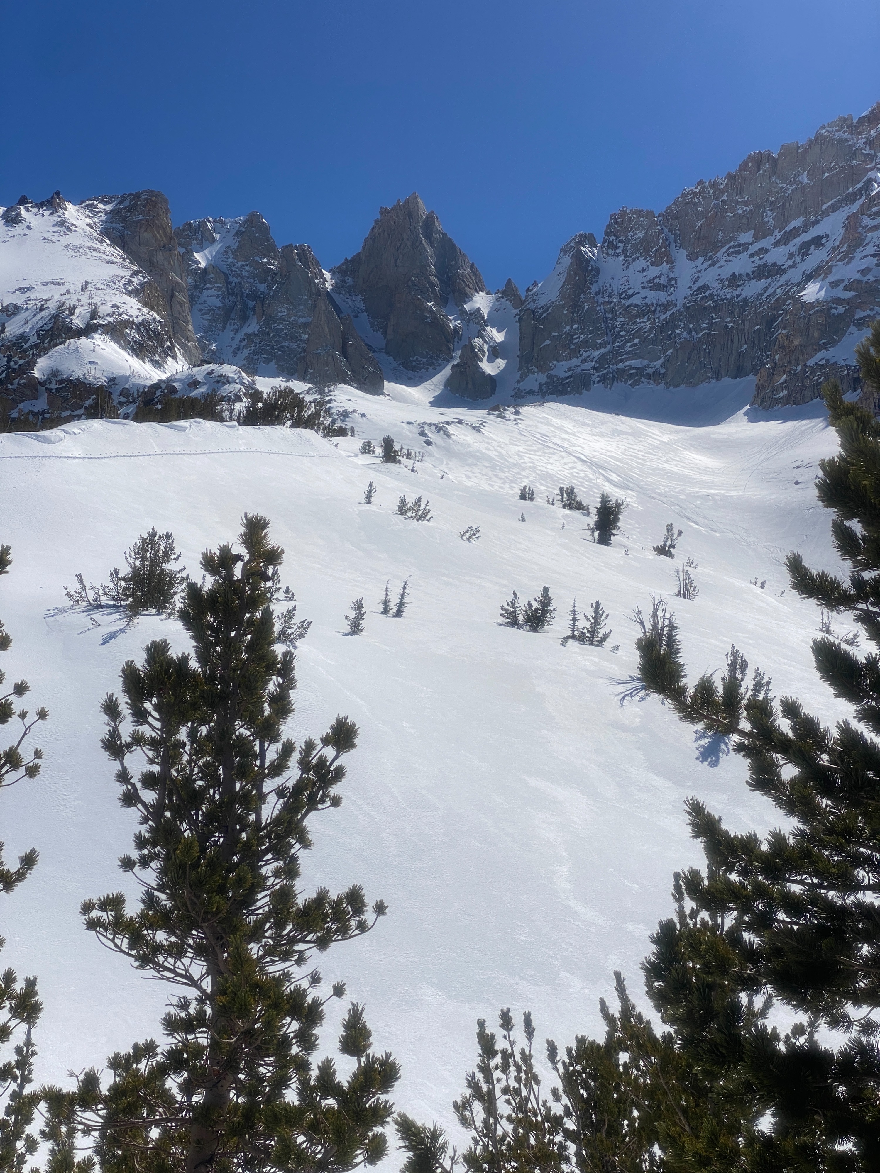
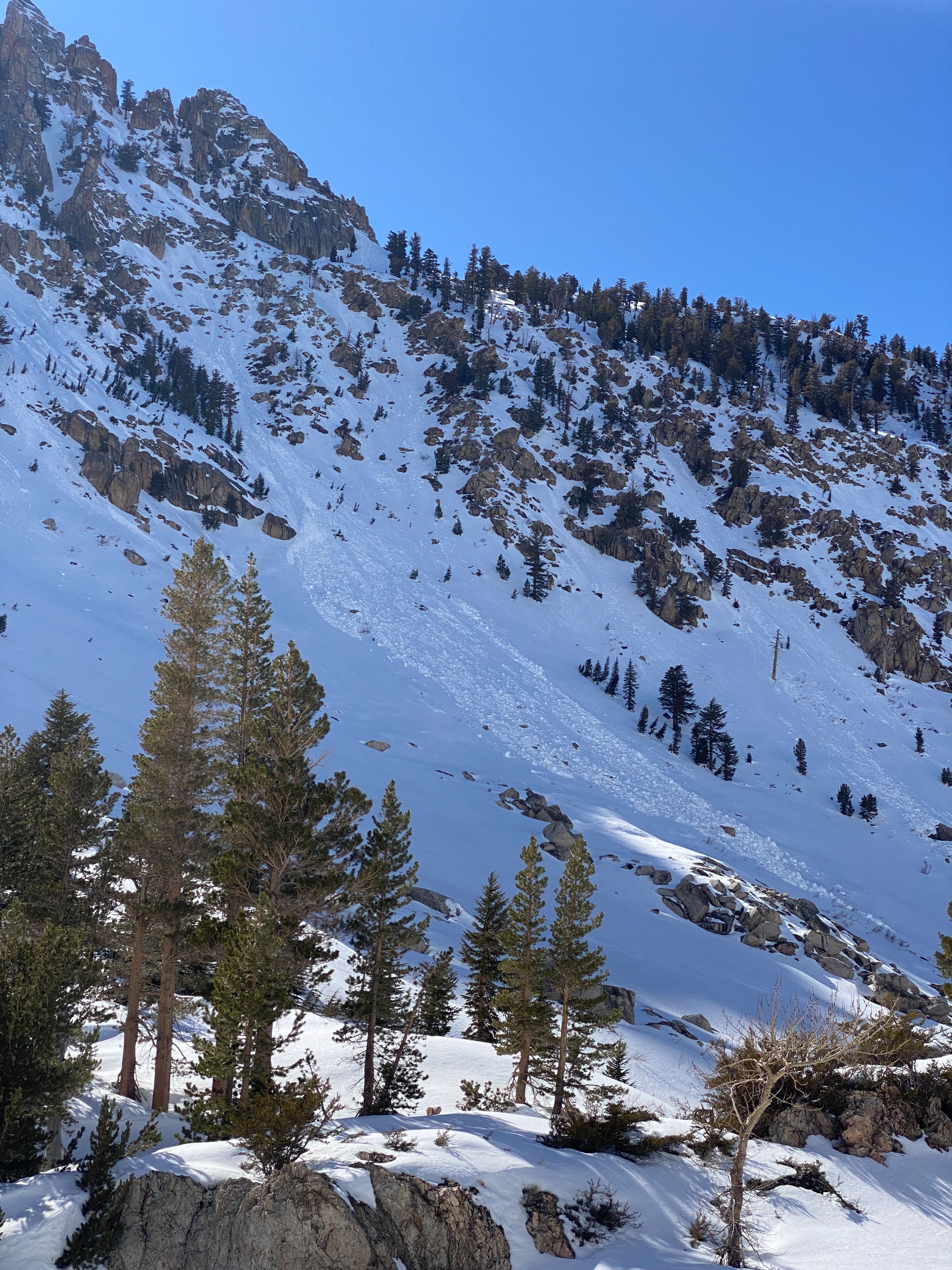
On Tuesday we toured up Horse Creek to see how this drainage was adjusting to the recent snowfall over last weekend. During our ascent up we used ski crampons as snow surfaces were firm and frozen and there was little new snow at the bottom of the valley. As we climbed higher into the drainage we quickly felt the rapid change in conditions as the sun's angle and above freezing temperatures warmed the snow surface. Above 9,000 ft we noticed a change in the amount of snow available for transport for wet loose avalanches, 6-12 inches of new snow was observed between 9-10K. Several of the East and West facing rocky and steep slopes had already been released earlier in the week. Evidence of warming snow and small point releases existed on all aspects in Horse Creek. We avoided steep warm slopes with fresh snow on them to reduce our risk of traveling in heavy wet snow.
Wet Loose point release avalanchesWeather
- Air Temp
- Above freezing
- Cloud Cover
- clear
- Snow Avail For Transport
- none
Hot and sunny with calm wind
Snowpack
A rapidly warming snowpack in the surface snow and upper snowpack. Wet grains were observed as the snow transitioned during the spring freeze-thaw cycle.