
Quick report
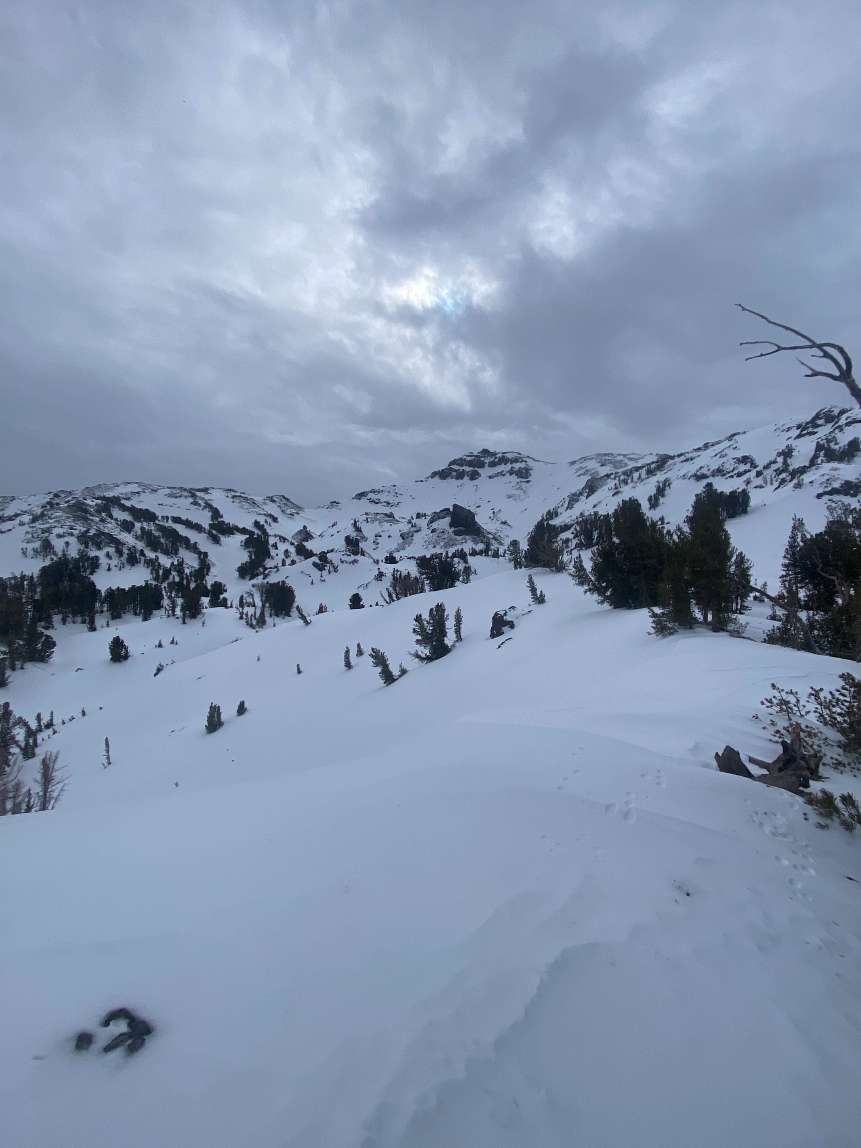
Rapidly changing weather conditions were experienced today. The 1st part of the day was dry and windy. Snow started to fall around 1 pm as the front of the storm started to impact the Sierra Crest near Sonora Pass. Looking at the Leavitt Lake SNOTEL, the station picked up .3" of SWE from 1 pm to the time of this publication (4.30 PM) A mix of snow and rain spilled over the crest and down to valley floors and the HWY 395 corridor this late afternoon. I expect that we are in for several more inches of snow through the evening.
Weather
- Cloud Cover
- overcast
- Wind Loading
- light
- Rain Elevation
- 8000
- Recent Snowfall
- Yes
- Snow Avail For Transport
- small smounts
Dry and windy the 1st half of the day, windy and snowy the second half. Snowfall rates picked up considerably as I was leaving the field.
Snowpack
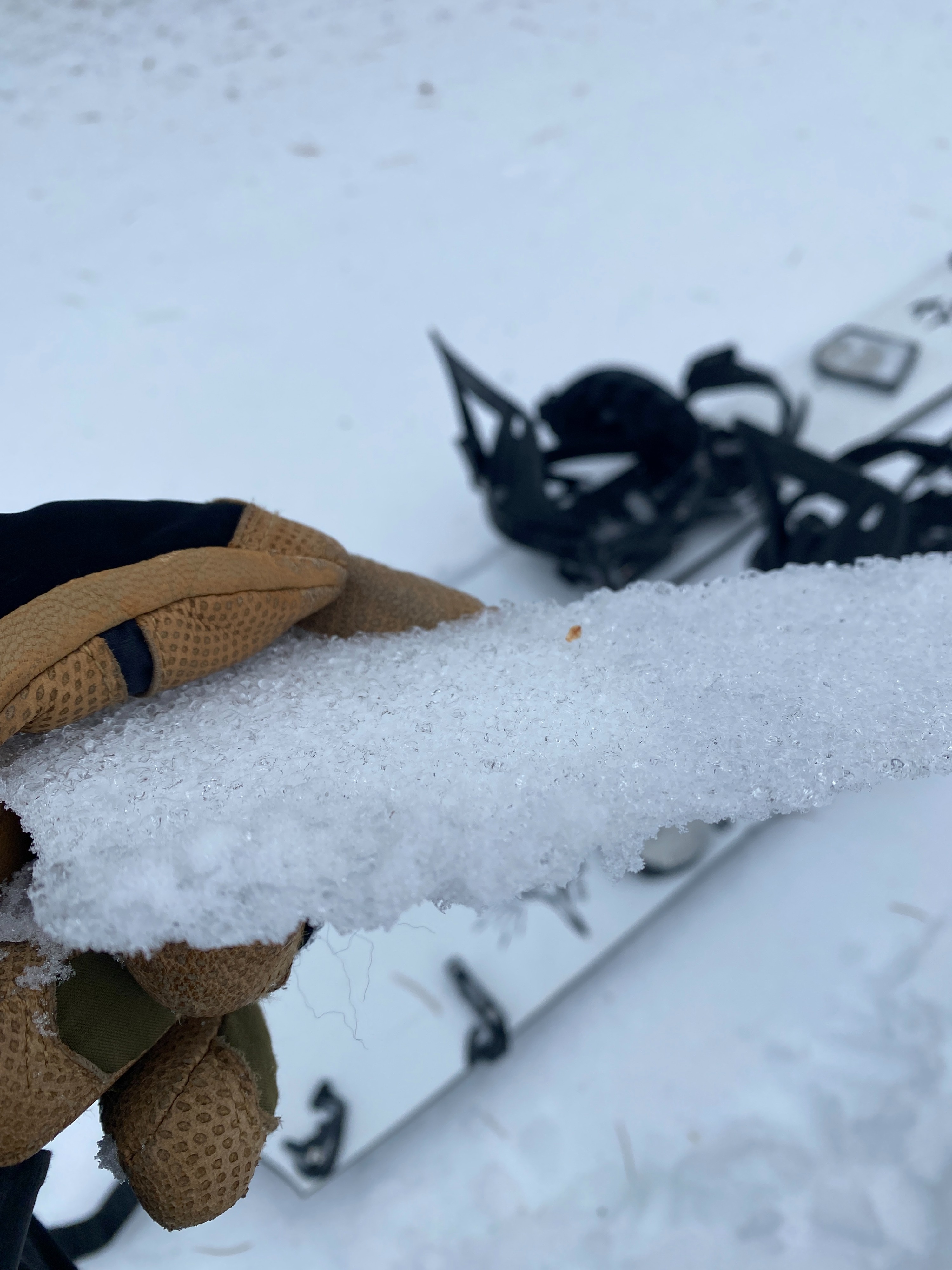
A thin crust was present on the surface from yesterday's above freezing temperature. Below that thin surface crust was a consolidated snowpack of around 130-160 cm. The area I toured in had varaible surfaces with some softer wind pressed snow in the trees. Overall the wind has touched almost every surface. Skinning was slippery due to the crust and hard wind packed snow grains. I found mostly hard windboard conditions.