
Quick report
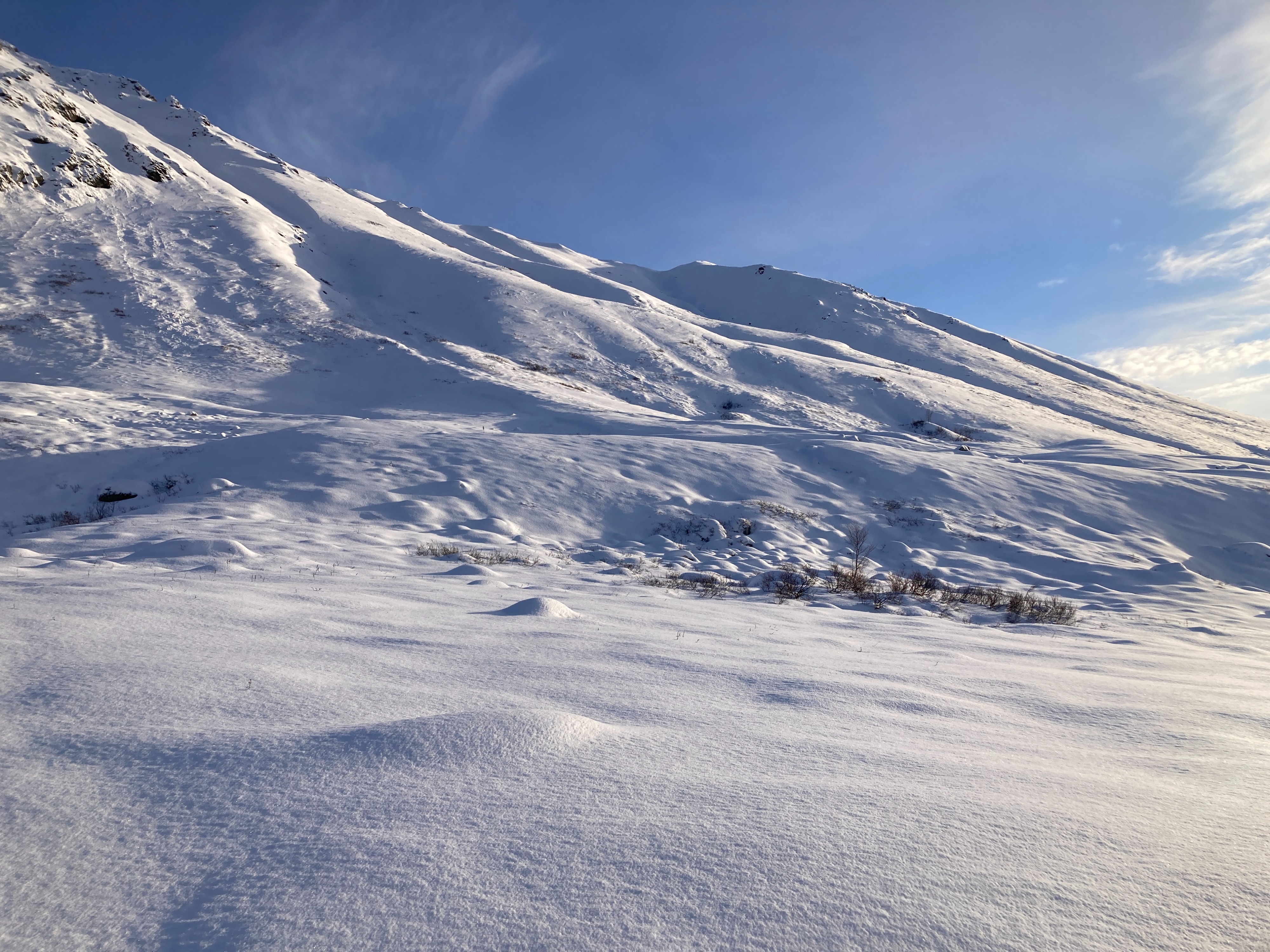
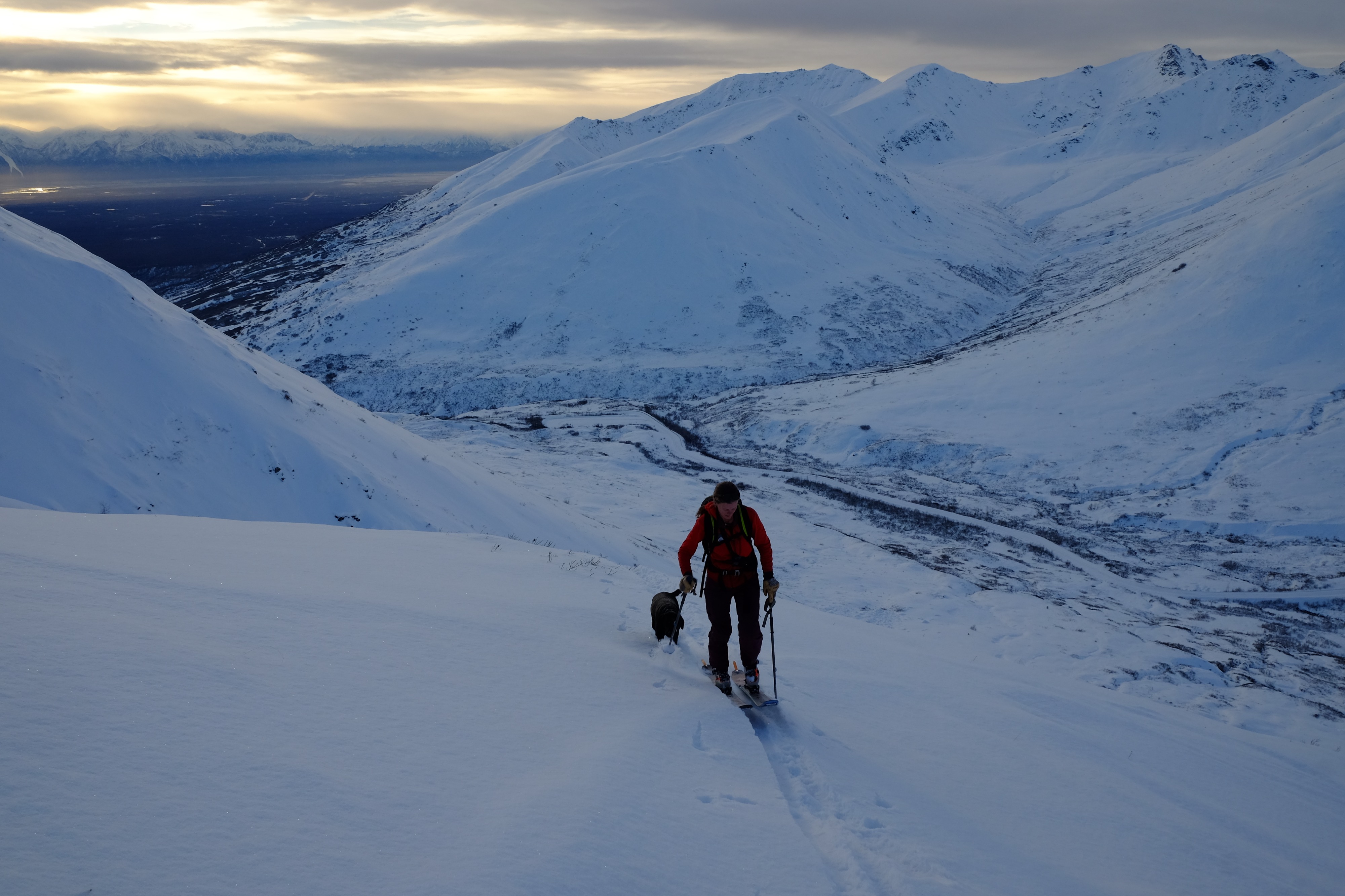
HPAC forecasters are still in an "Early Season / Assessment" mindset looking to get a general feel for overall conditions and snowpack structure. I've personally had limited time on skis so I was using today as an opportunity to get back in touch with my gear and fitness level. We went for an easy tour up the westerly facing slopes of Marmot and enjoyed good light and visibilty and a few spots of challenging skinning. Overall, travel was manageable but not easy. Higher on the slope some old buried wind slabs made skinning somewhat difficult and we opted to bootpack the last few dozen feet to the ridge. Despite strong winds in the valley, last night's snow appeared to have limited wind affect and throughout our tour we found 2-3'' of new snow with uniform distribution.
We dug several hand pits and one full profile at 4000ft WNW facing on a slope of 33°. See snowpack notes for details.
Downhill travel was equally as variable with smooth soft turns interspersed with punchy old wind slabs and some areas of thin sugary snow with limited coverage. Overall, I found turns were best on lower angled slopes near vegetation.
Was a great day on the hill having a look around and getting a feel for general conditions. I have to say, it's not as bleak as I expected! Last night's snow made everything look nice and white and at a distance it all looks a lot deeper than it is. Here's to a great season ahead!
A couple of small, isolated loose sluffs in the new snow along ridgelines.Weather
- Air Temp
- 23
- Cloud Cover
- broken
- Wind Loading
- previous
- Recent Snowfall
- 7.5
- Snow Avail For Transport
- small smounts
Last night's storm had all but wrapped up by the time we got to the trailhead leaving good visability and light winds. 3 inches of new snow had limited wind affect and winds were light throughout our tour up to the ridgeline. Temps were mild hanging right around 23° for the duration of our tour.
Snowpack
Overall the snowpack is still thin with lots of early season hazards still poking through. We dug one full pit at on a 33° slope at about 4000ft WNW facing on Marmot. There we found 35cm of snow that consisted of about 7cms of new snow from last night, 18cms of loose faceted snow from our Halloween storm, and another 10cm of basal ice from earleir in October. Ski/foot penetration was variable with a mix of supportable old/buried wind slabs, some more punchy and breakable areas where that slab has been decomposing and faceting with our recent cold clear weather, and widespread areas where no slab was deposited leaving the snowpack generally sugary and faceted to the ground.
The snowpack has weak strength, poor structure, and little to no energy. That said, there's not much of it, so overall hazard is Low and likely to remain that way until things change. It's not the best set-up if we were to get a large storm but there's plenty of time for things to change. Square pow season is coming.