
Quick report
After a week of intermittent snow showers starting on November 15th we gained : 15in of snow and 2.5 inches of SWE at the Leavitt Lake SNOTEL, and 6 in of snow and .9 inches of SWE at the Sonora Pass SNOTEL.
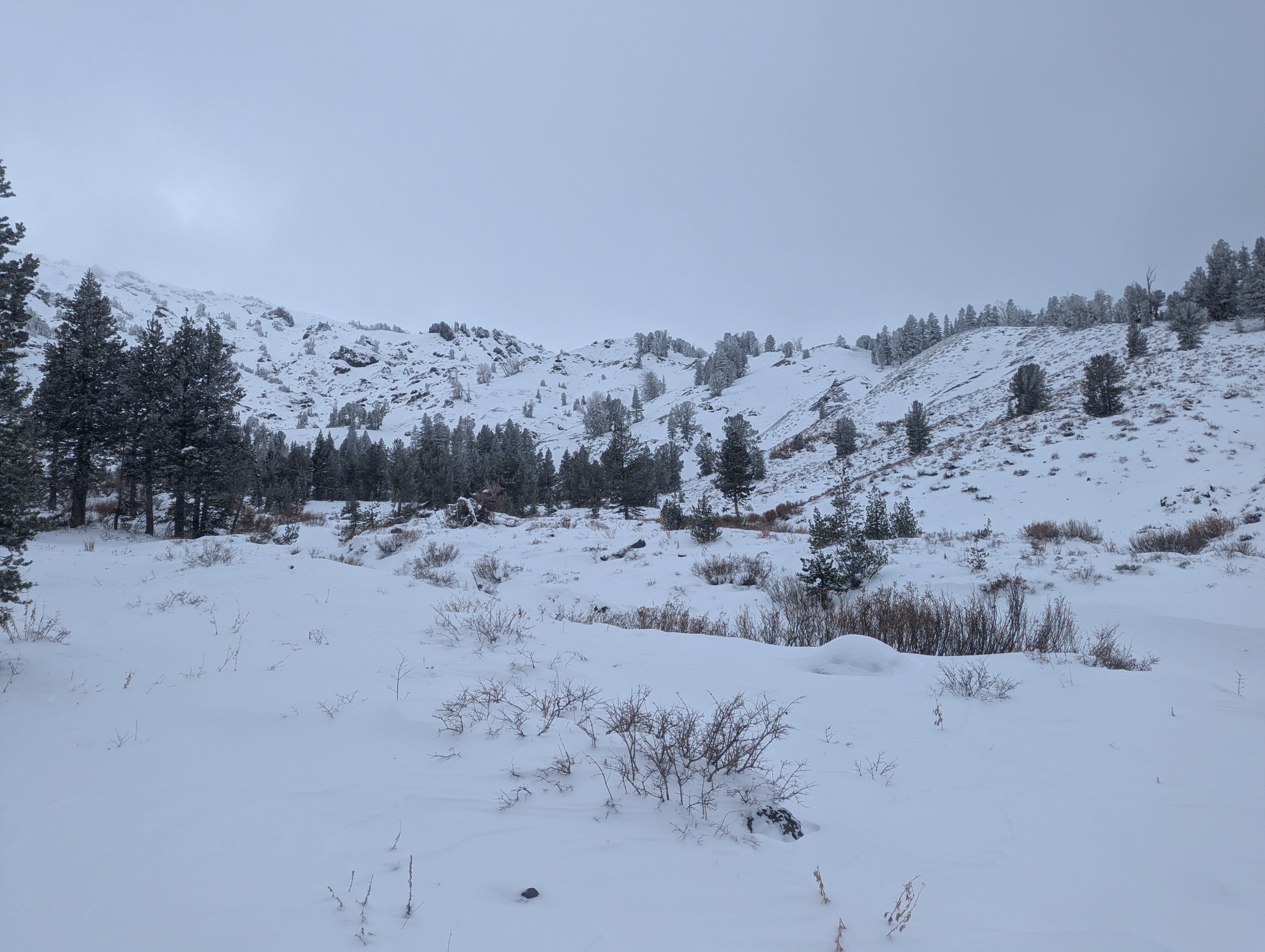
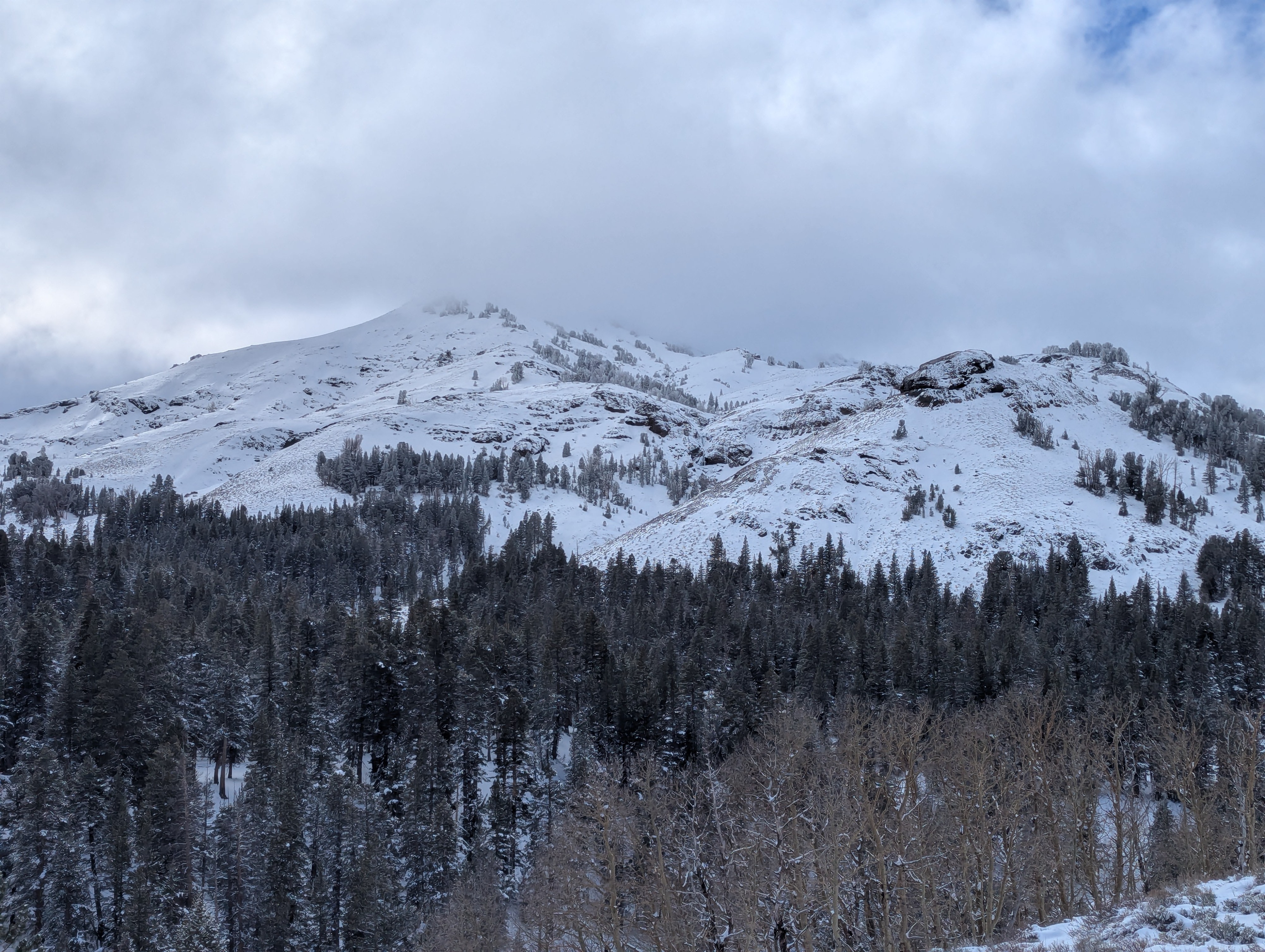
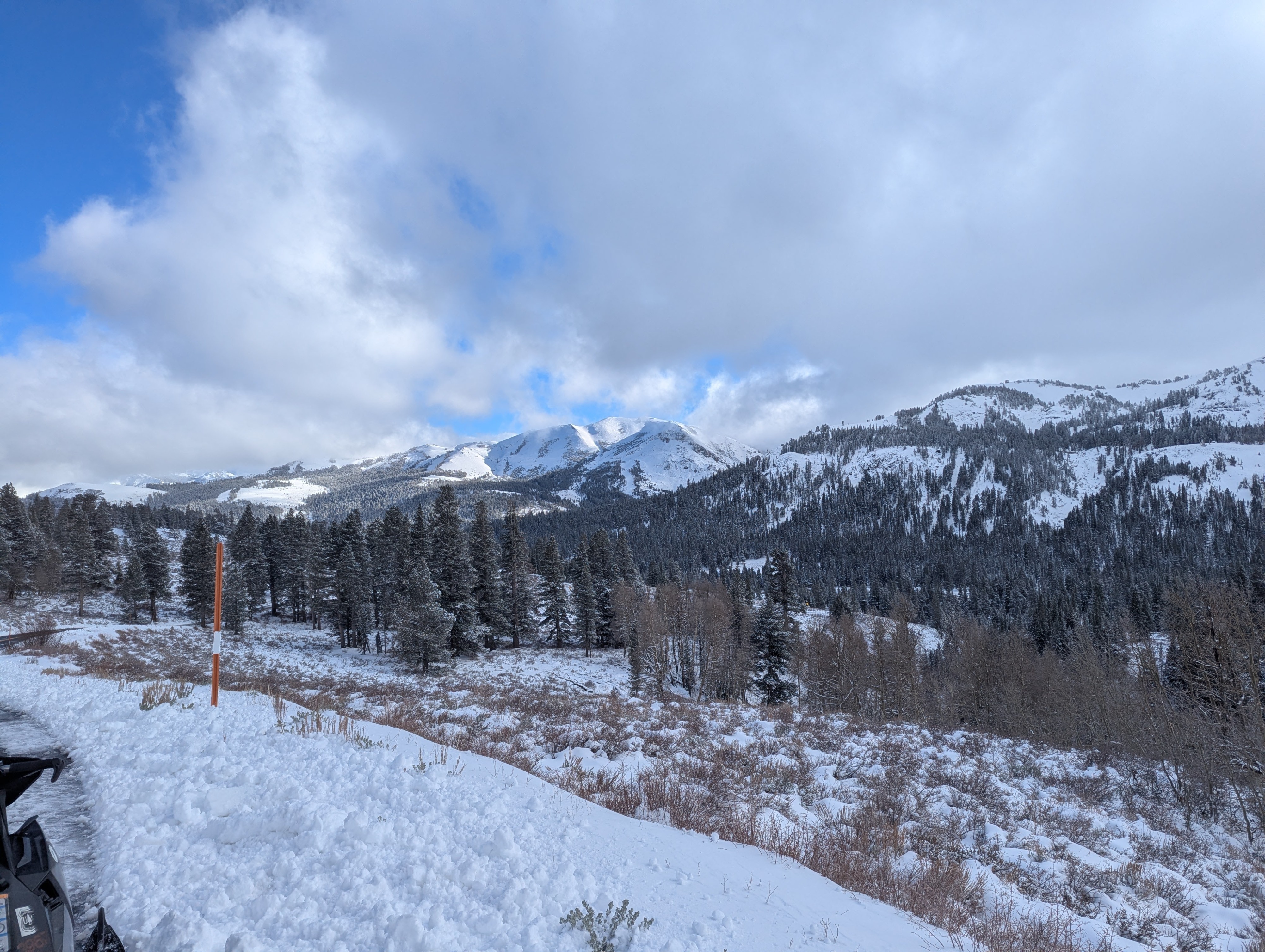
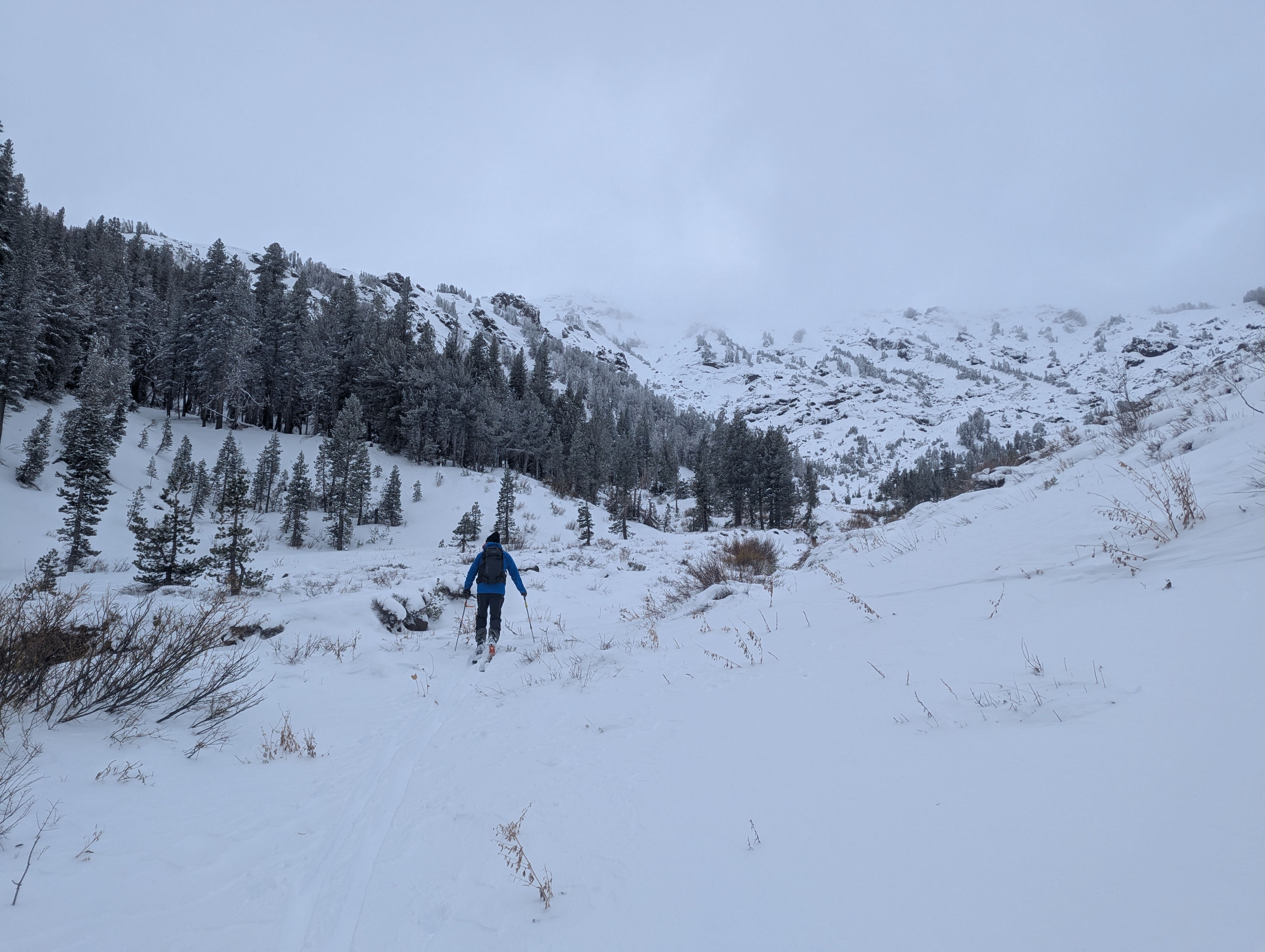
We decided to venture up Hwy 108 to see the new snow in person instead of a data sheet. Overall coverage is still very thin with plenty of sage, stumps and rocks covering the landscape. We wanted to see if elevated wind speeds from the North were transporting snow and investigate the old snow from early November on N aspects.
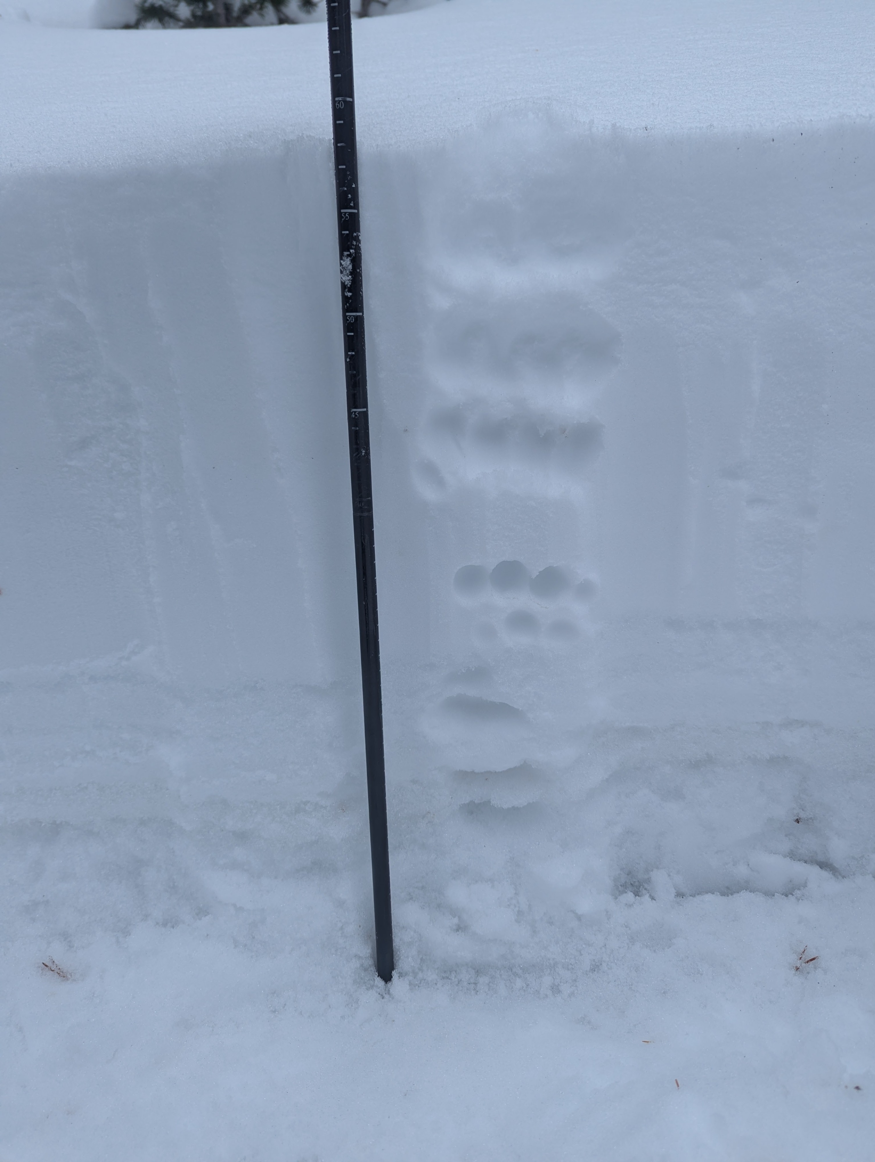
Wind speeds were moderate from the North but we didn't see any wind transported snow from our vantage point but did cross over some old wind drifts in a few locations. While looking for the early November snow on a N aspect below tree line the deepest areas we could find while probing were no more than 2 ft. A quick pit provided a look at the layers within the snowpack with the new snow resting on multiple crust layers with a facet layer near the ground. We will certainly be keeping an eye on the faceted snow which is in isolated terrain features on North facing sheltered terrain. For now we are waiting for more snowfall to access other terrain, the sparse coverage is a hazard in itself for any snow based activity.
No signs of instabilityWeather
- Air Temp
- 25
- Cloud Cover
- overcast
- Wind Loading
- moderate
- Rain Elevation
- n/a
- Recent Snowfall
- 15
- Snow Avail For Transport
- small smounts
Overcast skies, with tempatures below freezeing above 7,000. moderate NE winds in thenear tree line elvation band. Ridgelines and summits were conceled by clouds.