Island Alpine Guides
Jan 11th, 2026 9:00 AM
info
East Island
Details
Type
quick
Coordinates
49.759054, -125.305831
Quick Observation
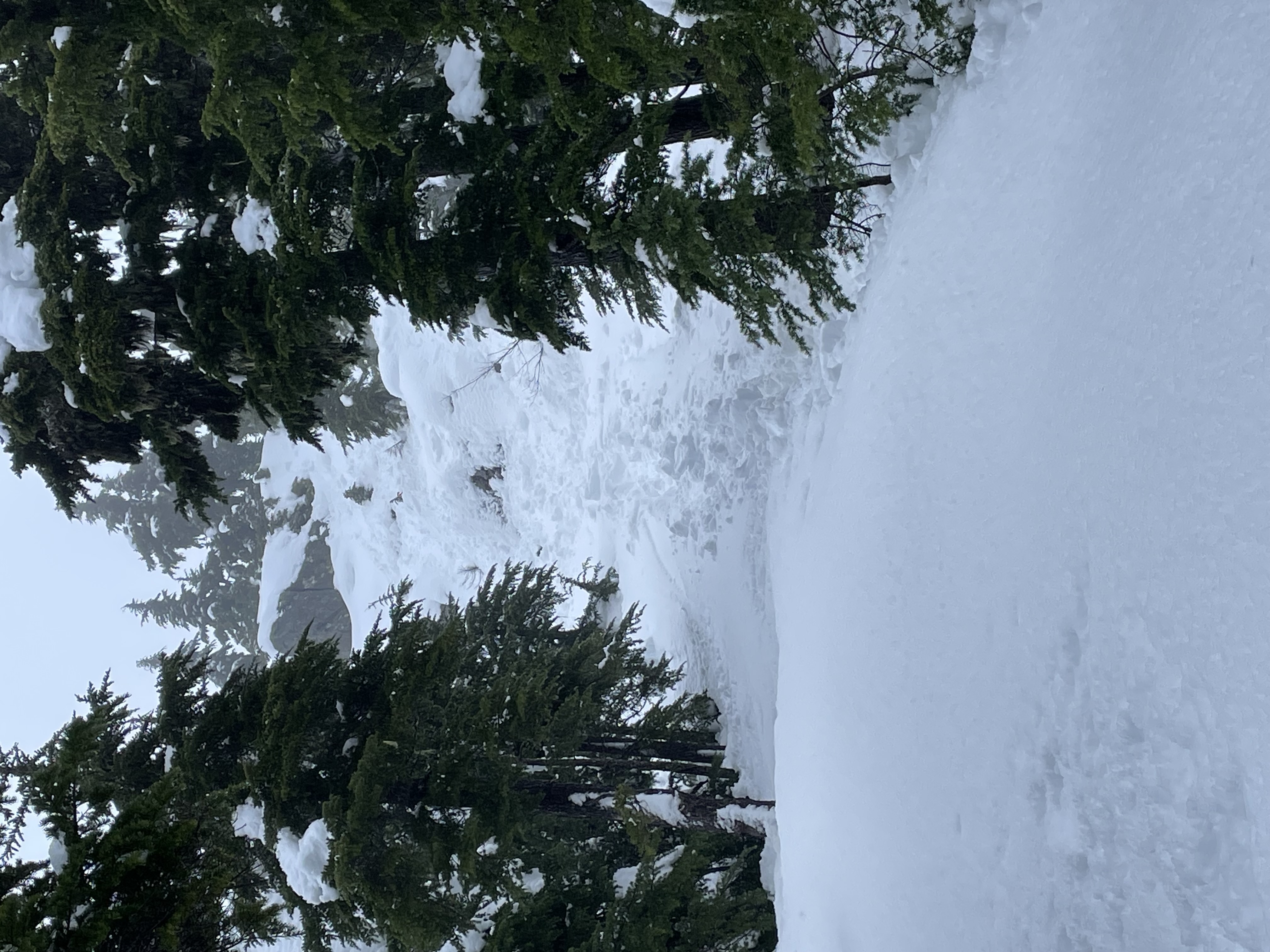
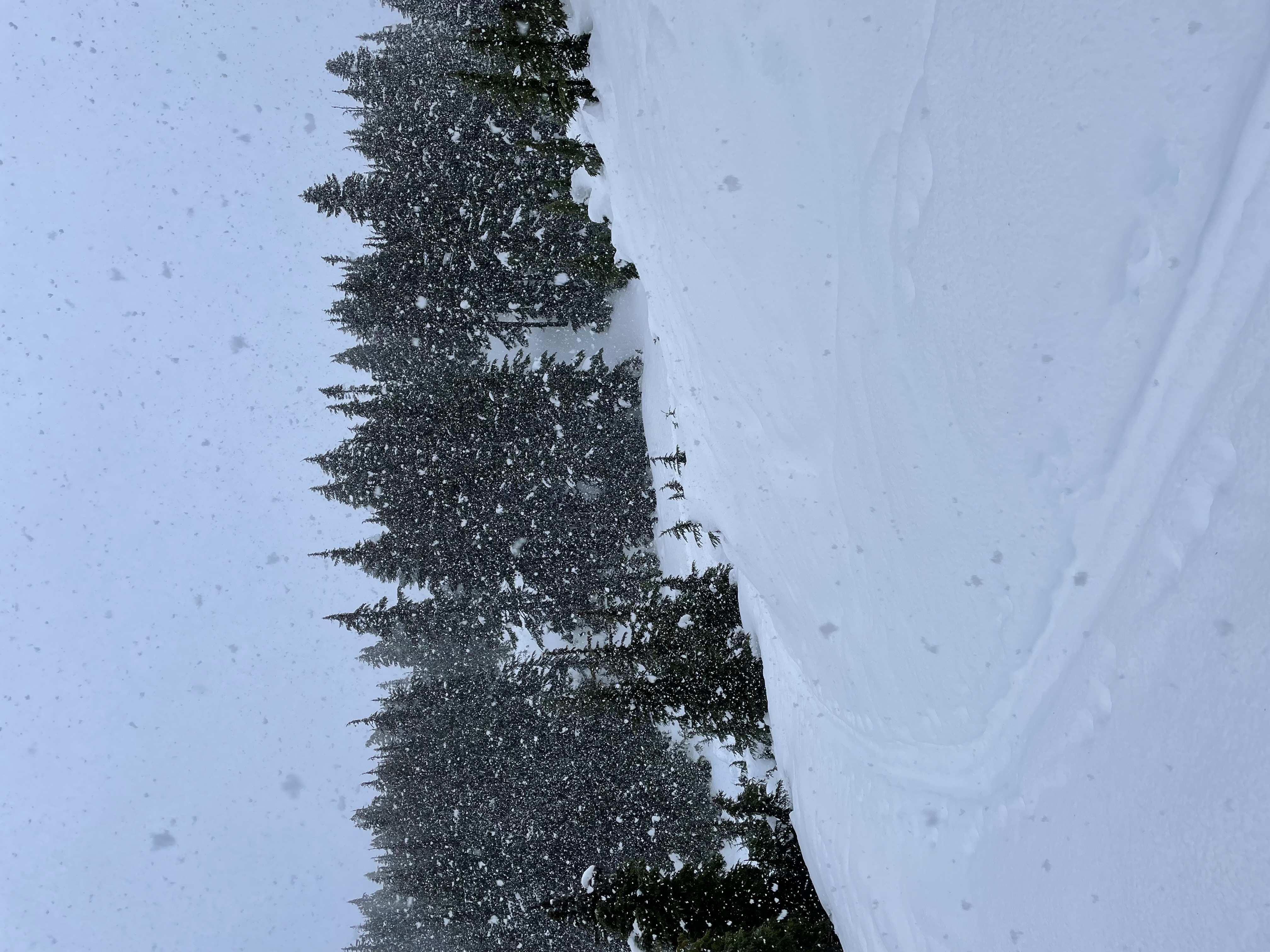
Multiple AST courses were run in the west ridge area of Mt Washington today. We experienced a combination of wet snow and rain throughout the day from 1100-1500 M with higher winds and temperatures between 0 and 3 degrees.
The following observations were noted by 3 separate groups in the area.
-multiple size 1 loose, wet and pinwheeling between 1400-1500 M on S and W aspects that appeared to be both natural and human triggered.
-trees were shedding approx 90%of their snow below 1500 M.
-top 20cm or so moist with dry previous HST below that. Hard planar shears within the dry snow and at an ice crust lower in the pack, 1450 M, E aspect.
-CT beside Boomerang top station, s-facing, CTE(6) SP down 10cm on a storm interface.
Photos (2)