
Quick report
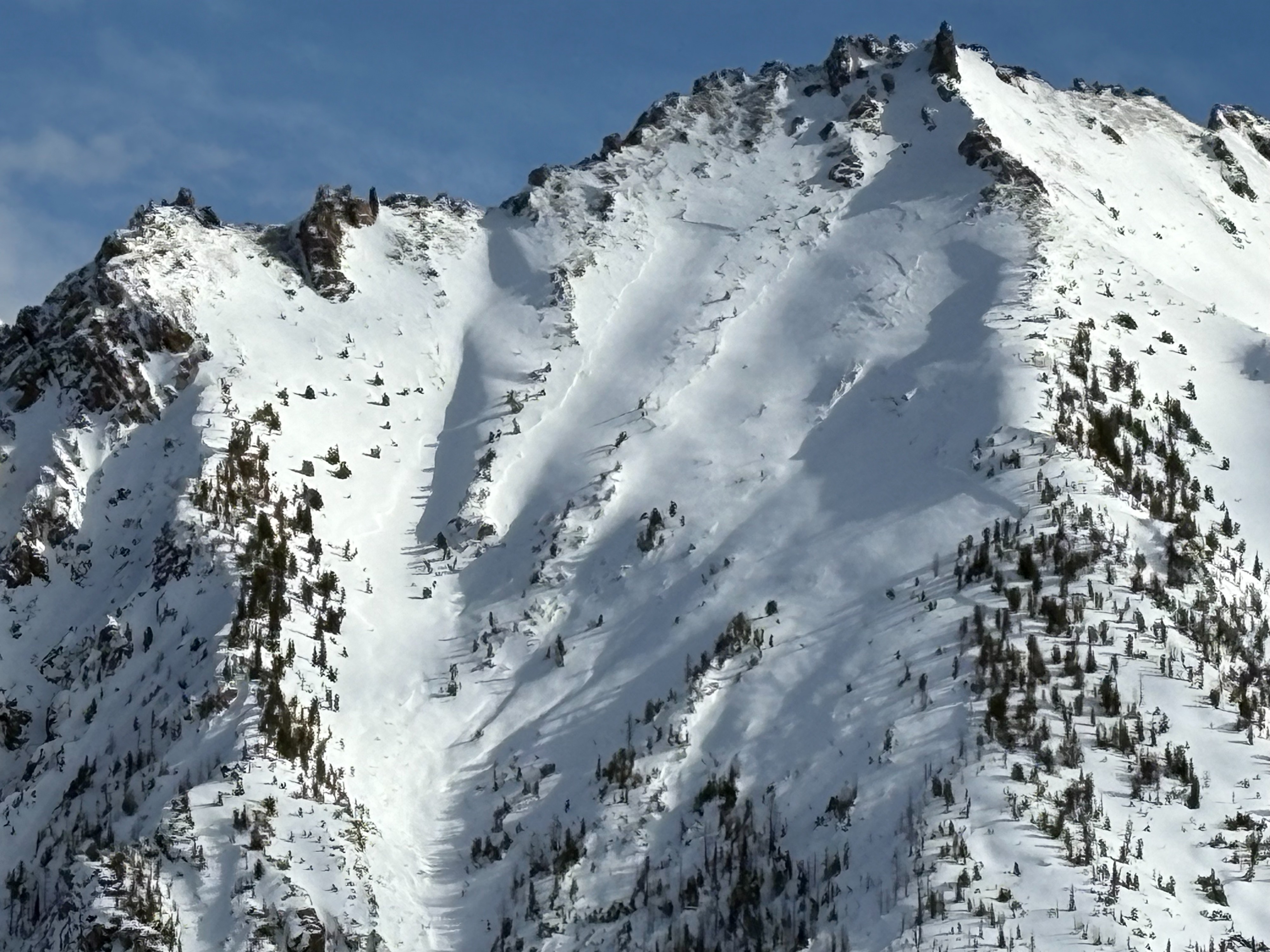
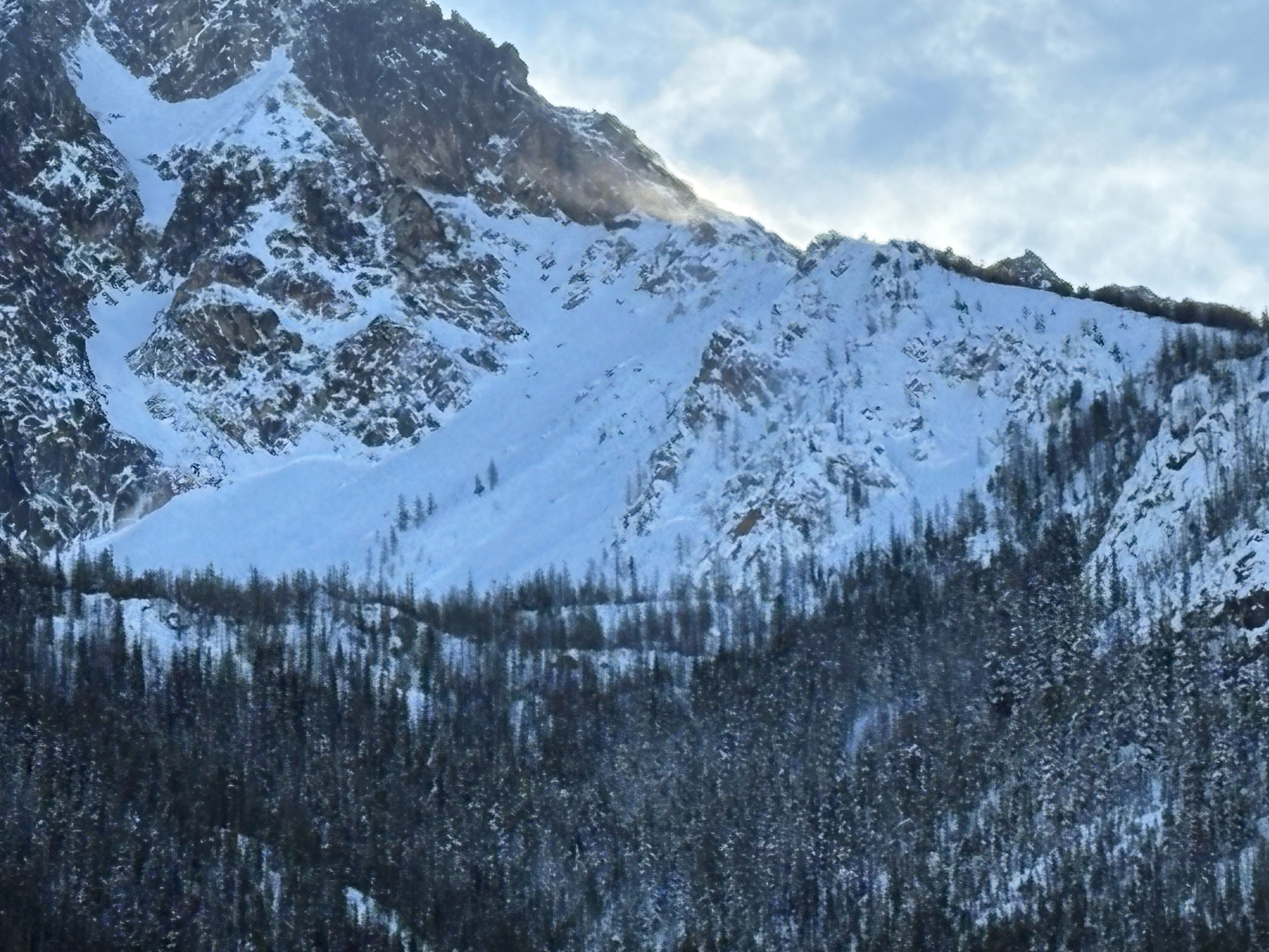
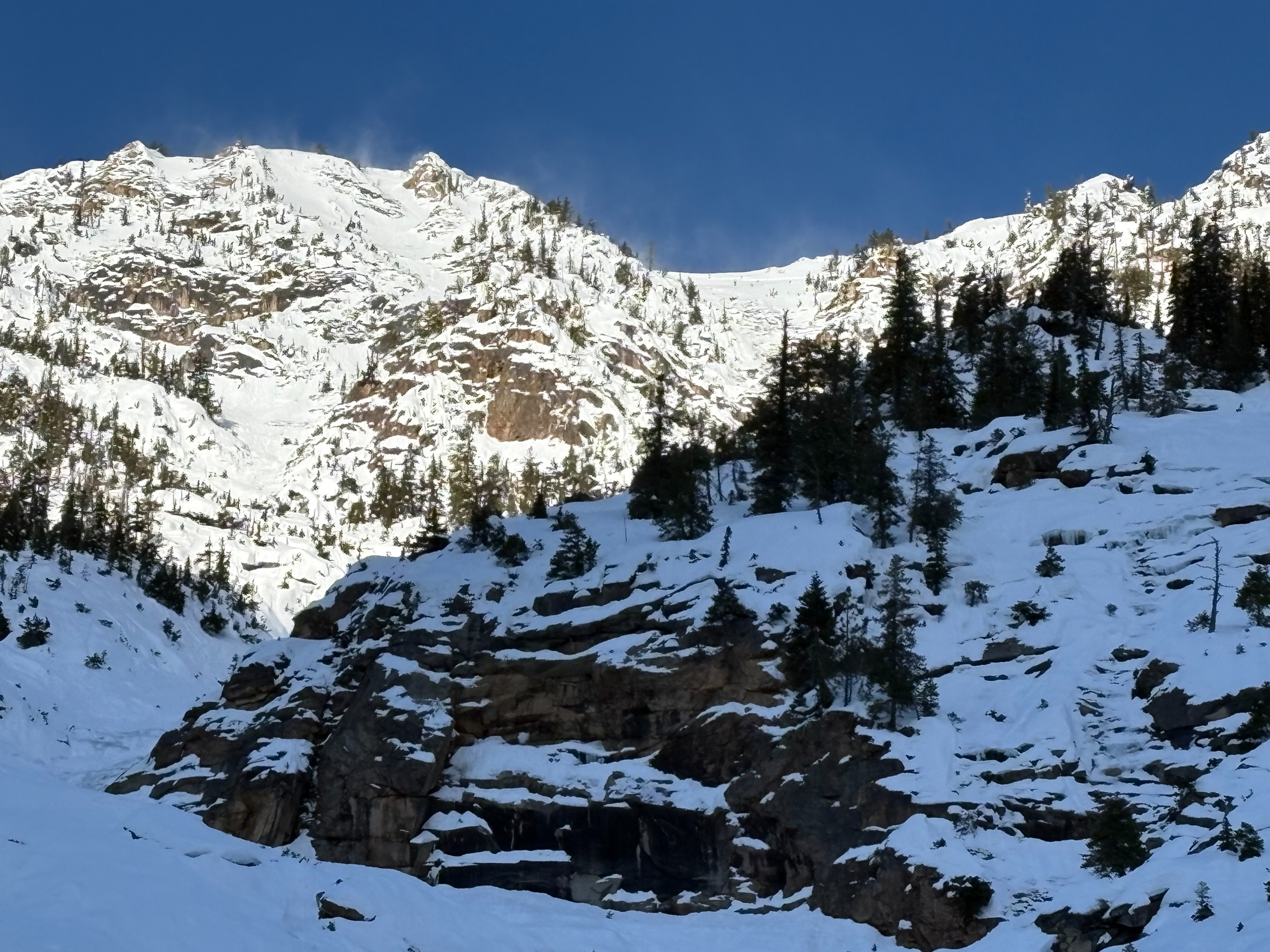
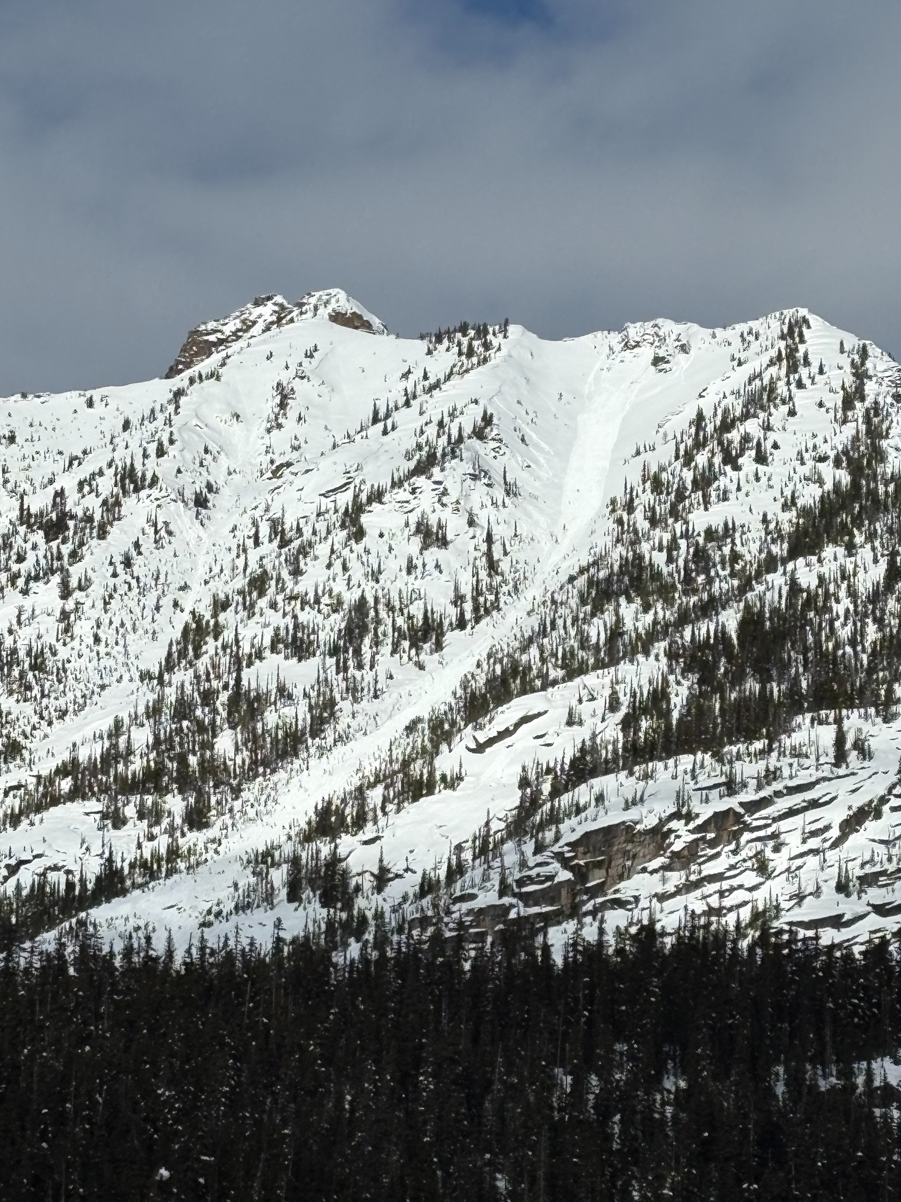
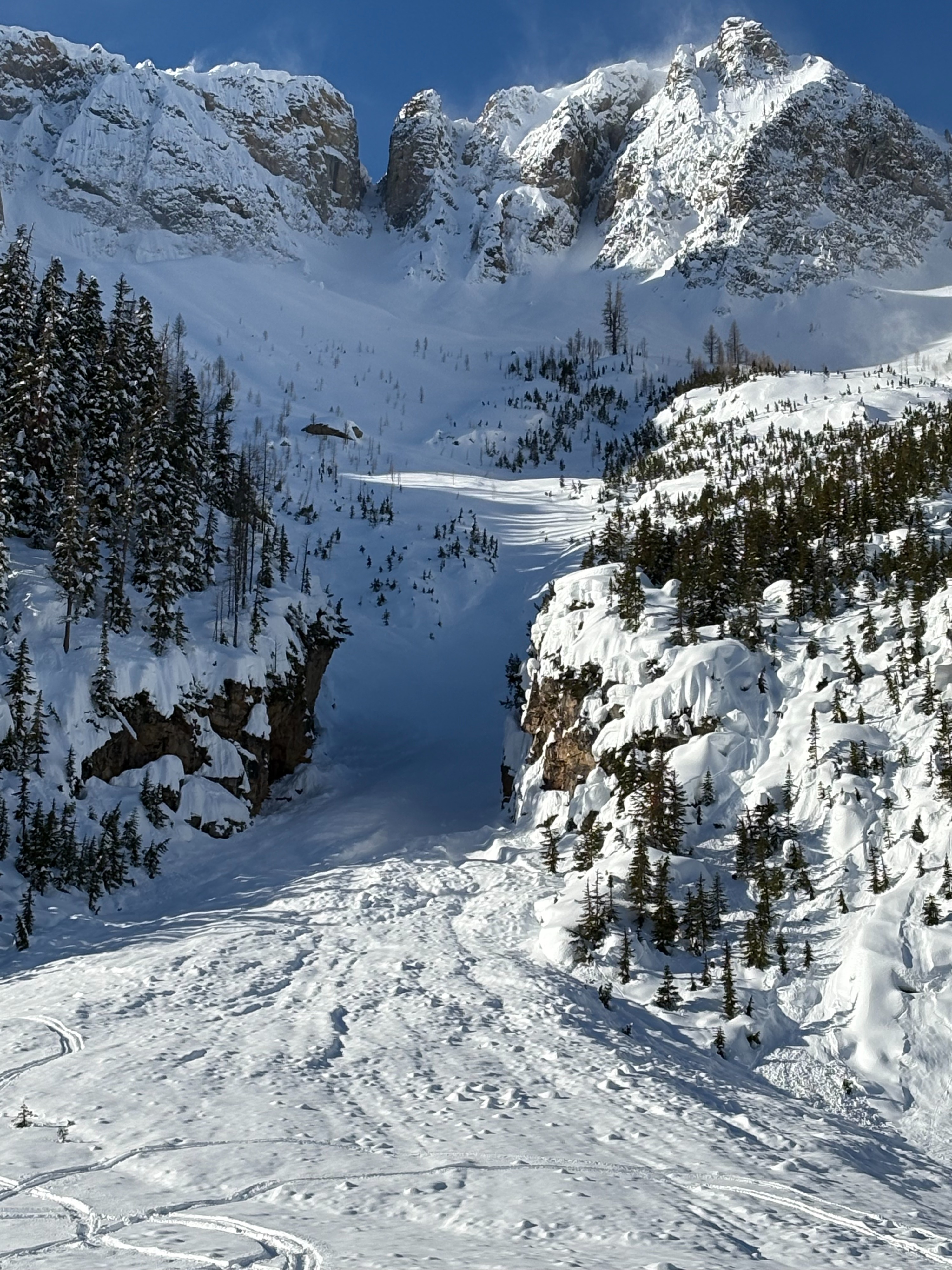
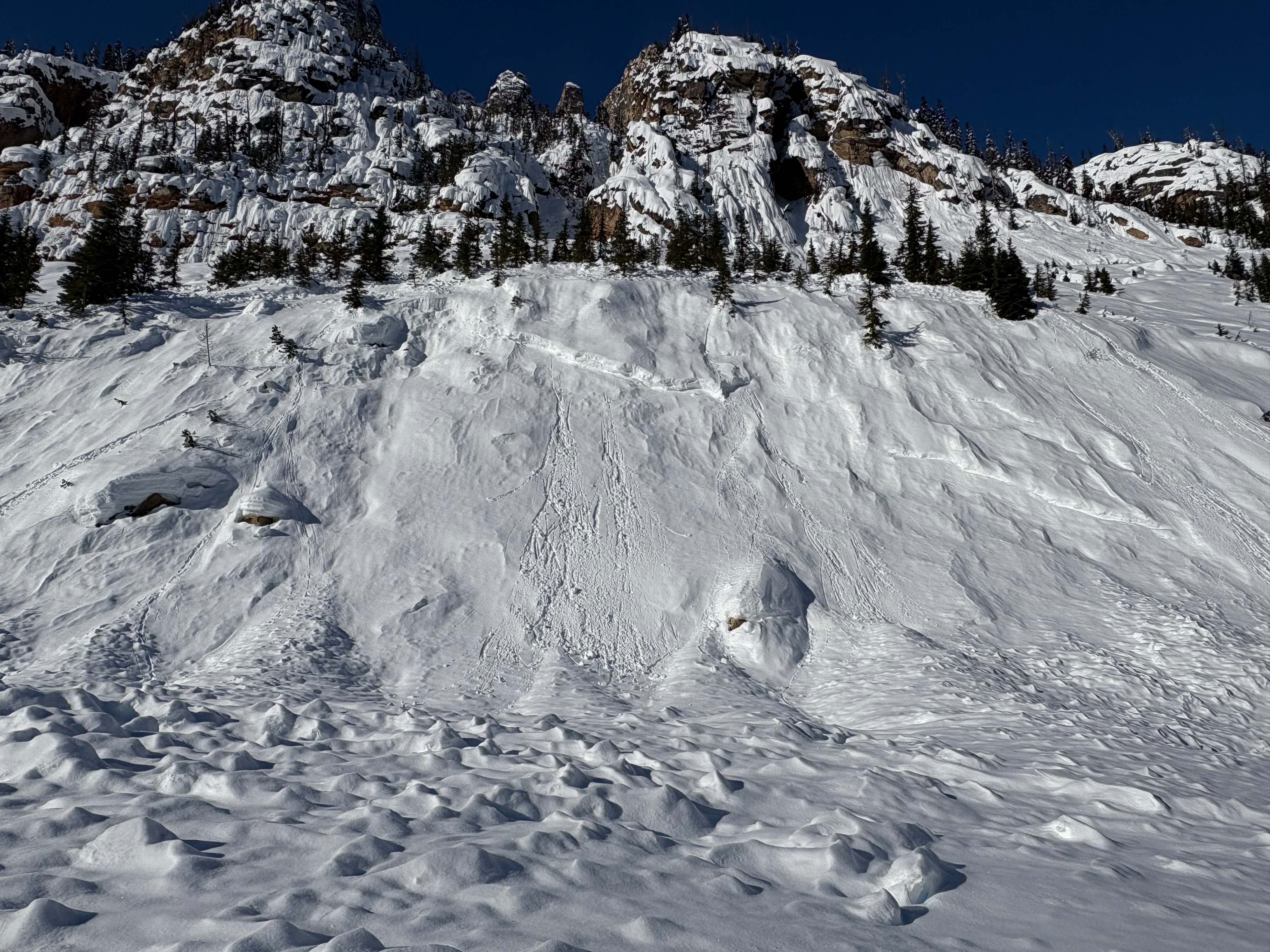
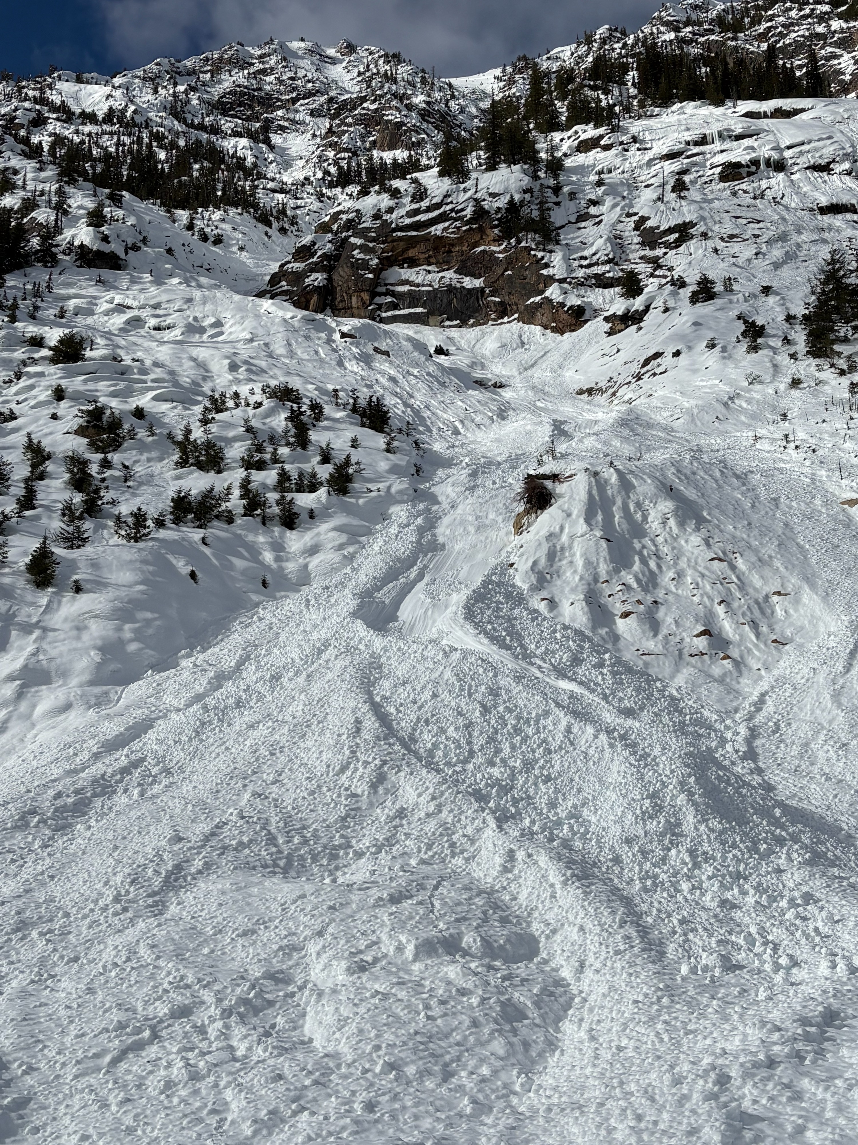
Traveled with WSDOT team up Hwy20 from Silver Star to Washington Pass via snowmobile. Toured from just shy of pass level up to beneath E face of Liberty Bell, where snow profile was obtained at 6100ft on NE aspect (see pit data, listed separately). As noted, a fairly widespread avalanche cycle from the last 48-72hrs was observed with some impressive crowns in the alpine elevation band. Temperatures warmed rapidly throughout the morning, affecting significant amounts of recent storm snow even on polar aspects. Ski conditions by mid day between 5-6k were sticky/gloppy. No cracking/collapsing of snowpack in the terrain we toured/skied through. Larger loose wet avalanches observed in early afternoon hours. Suspect lee aspects in alpine will be holding sensitive wind slabs, as significant transport was observed up high from W/SW winds today. Widespread avalanche cycle evident from the past 48-72hrs, with ongoing loose wet up to D2 in Cutthroat paths and south aspect of Hinkhouse Peak. Crowns observed in alpine elevation band on both E and W aspects, likely storm/wind slab though potentially representing persistent instabilities activated by recent loading event.
Weather
- Air Temp
- 39
- Cloud Cover
- scattered
- Wind Loading
- moderate
- Recent Snowfall
- New snow from recent storm cycle felt to be 45-65cm at pit location. Boot pen 90cm.
- Snow Avail For Transport
- large amounts
Clear, cloudless skies to start the day, with increasing cloud cover into the early afternoon hours. Temperatures warmed rapidly to upper 30s at approximately 6k'.
Snowpack
Pit at 6100', N/NE aspect, 30deg slope, HS 255cm JDL down over 1m. CT22RP ↓65cm ECTN11 ↓45cm ECTN22 ↓65cm ECTP26RP ↓76cm, failure plane involved 2-3mm preserved stellars (presumed this to be 1/31 interface)