
Quick report
- Cracking
- Observed
- Collapsing
- specific
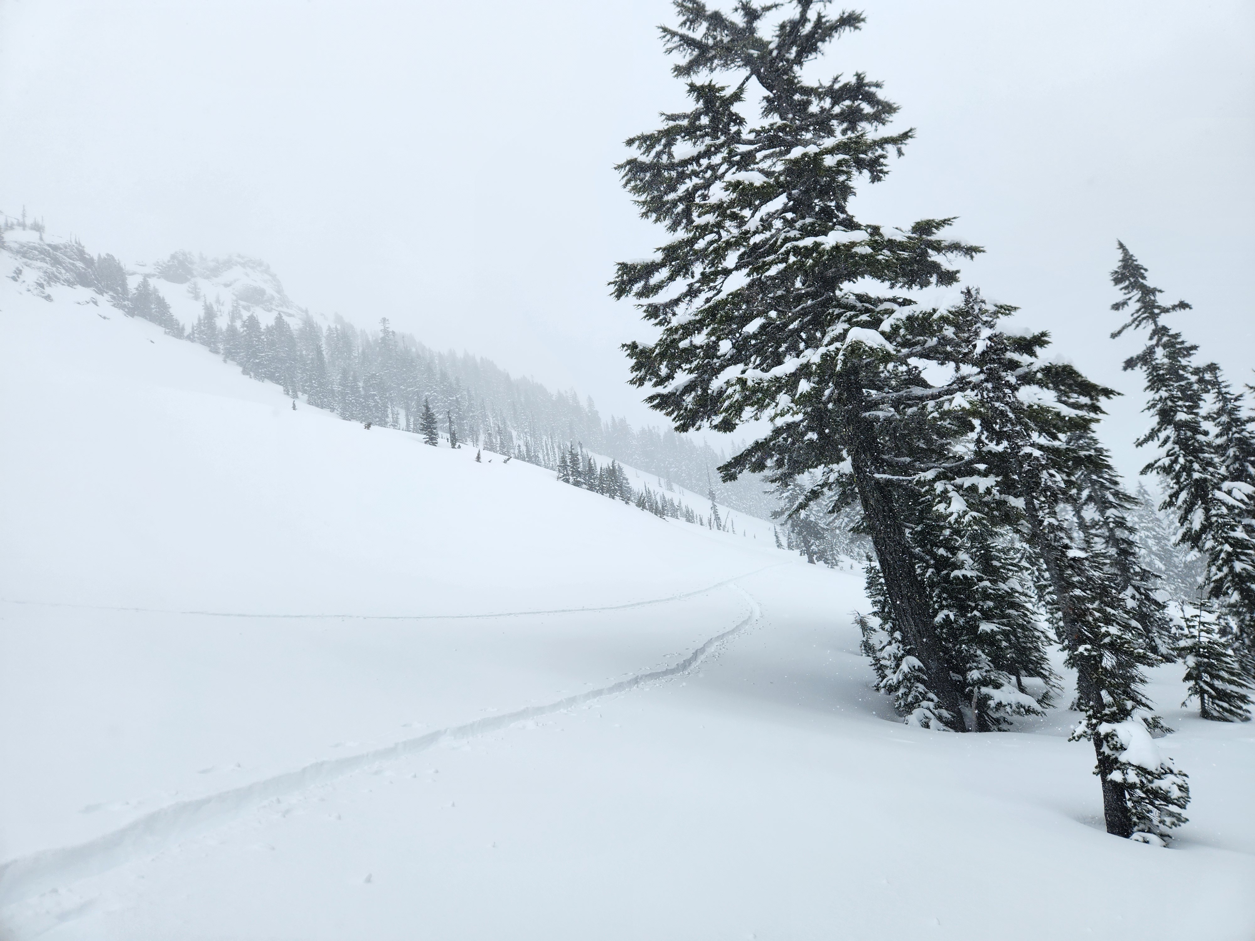
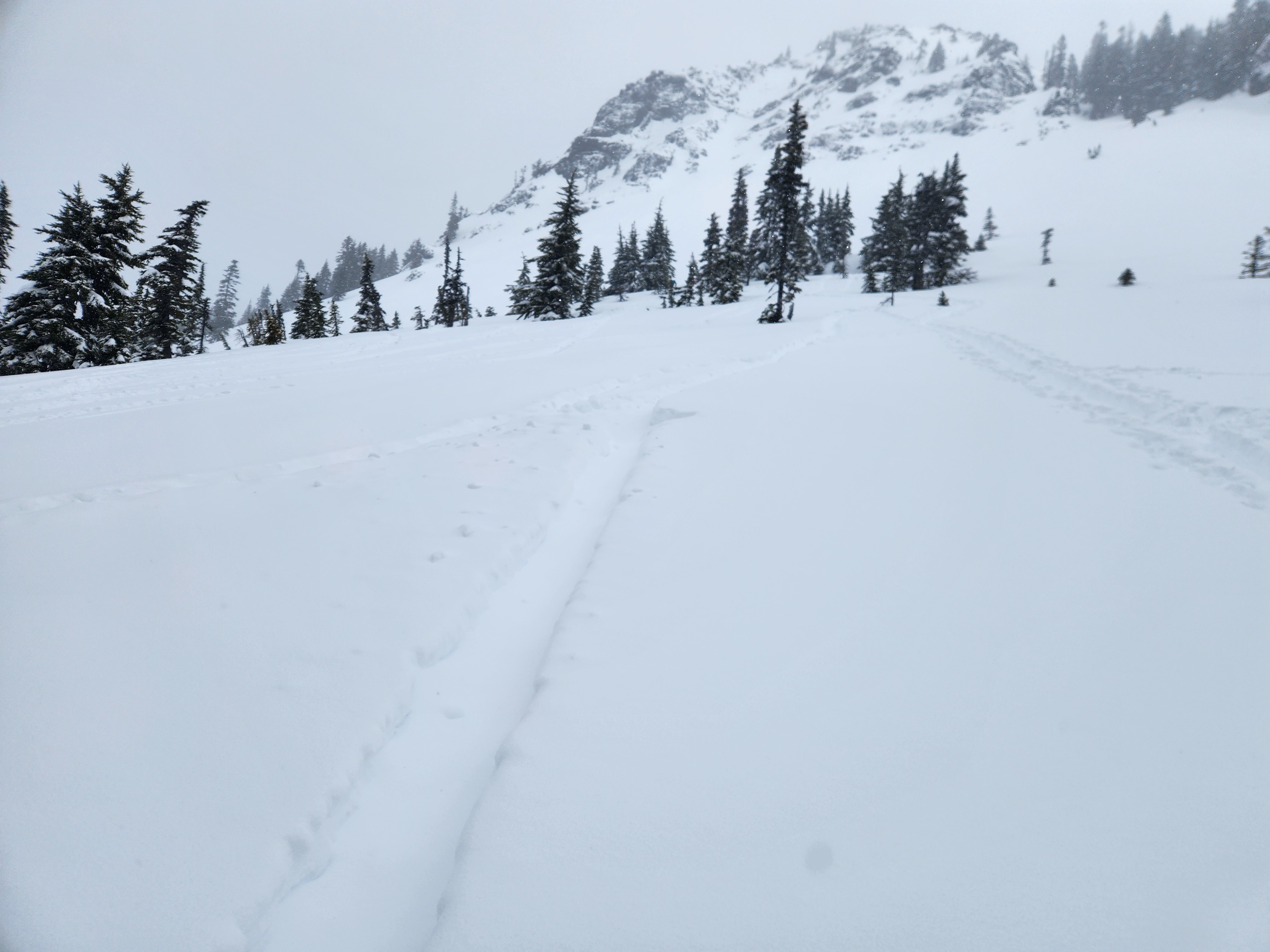
It was a stormy day up the Commonwealth drainage. The recent snow totalled about 8" at pass level, 12" around 4000ft, and 16" at 5000ft, where about 8-10" fell overnight and through the day. The snow below about 4000ft was heavy and dense by the afternoon, and there was minimal additional daytime accumulation below 3500ft. Plenty of recent and forecasted wind, deep new snow, some recent avalanches, and traveling solo all kept me in low-angle and treed terrain. I just poked out into the very lowest portions of the aprons below the open southwest face of Kendall. In general, the winds were lighter than expected on that side of the mountain and I observed just a bit of wind effect on open slopes at the lower and mid-elevations.
Aside from a bit of cohesion in the upper inch or two, there wasn't much slab character. There was a softer layer at the bottom of the recent snow, but the lack of a stiff cohesive block of snow overlying that layer seemed to limit reactivity and propagation potential. Aside from a single small shooting crack on a wind-loaded roll, I didn't observe any obvious signs of instability on my tour, though I only traveled in low-angle terrain and limited visibility kept me from seeing higher to assess for avalanches near the ridgeline. Though I provoked every small convexity and test slope along my path, other than the aforementioned shooting crack I only found localized cracking and collapsing which did not propagate. It's important to note that I didn't find any significant wind effect on my tour, which was likely the main reason I didn't find much in the way of instability. The winds were clearly cranking around the zone and I would suspect that wind-loaded slopes would have been reactive.
Sheltered areas above 4000ft skied great!
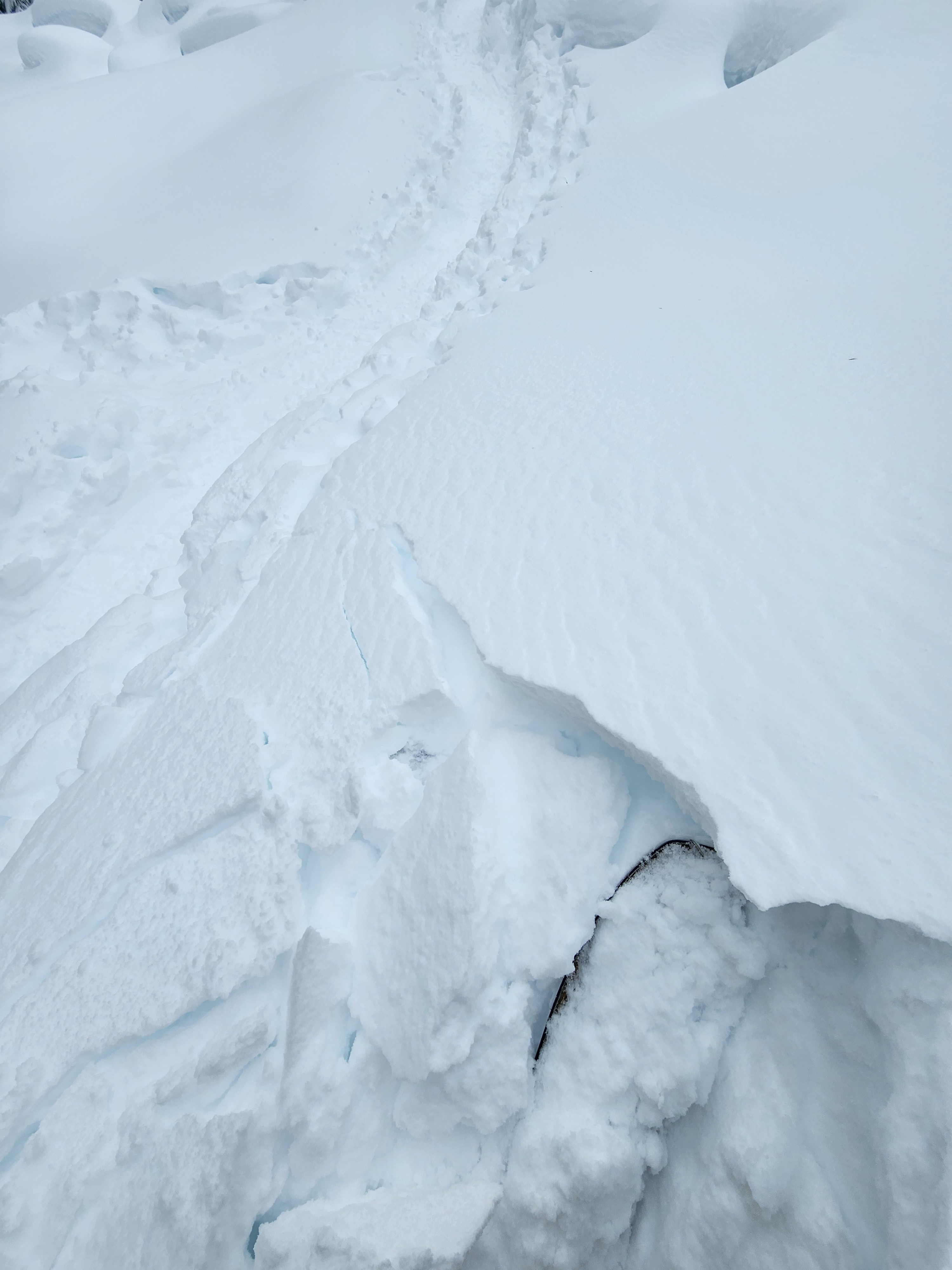
Localized cracking on convexities and wind-loaded features - generally quite small.Weather
- Cloud Cover
- overcast
- Wind Loading
- light
- Rain Elevation
- 3000
- Recent Snowfall
- 37 from this week - about 22 Friday night through Saturday early PM
- Snow Avail For Transport
- moderate amounts
Light snow all day, heavier at times especially at the end of my tour around 1:30 to 2 pm. Light winds with occasional moderate gusts on the southwest flank of the mountain where I travelled. Visibility was limited, but not poor.
Snowpack
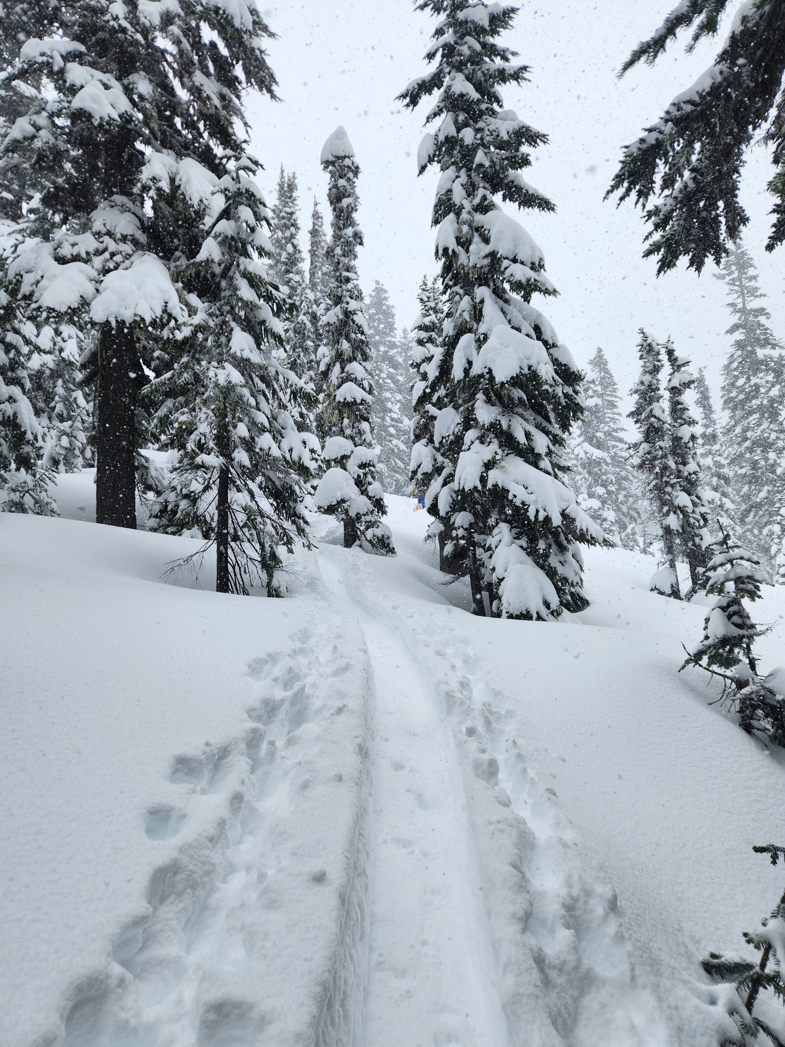
In the forest, much of the new snow is sitting in the canopy, especially below 4000ft where only 4 inches sits over a crust. By 4200ft, the coverage in the trees is much improved with about 12 inches over a crust. In open areas around 5000ft I found about 16" of recent snow. A lovely refresh to be sure, though lower totals than what landed in the Alpental Valley at similar elevations.
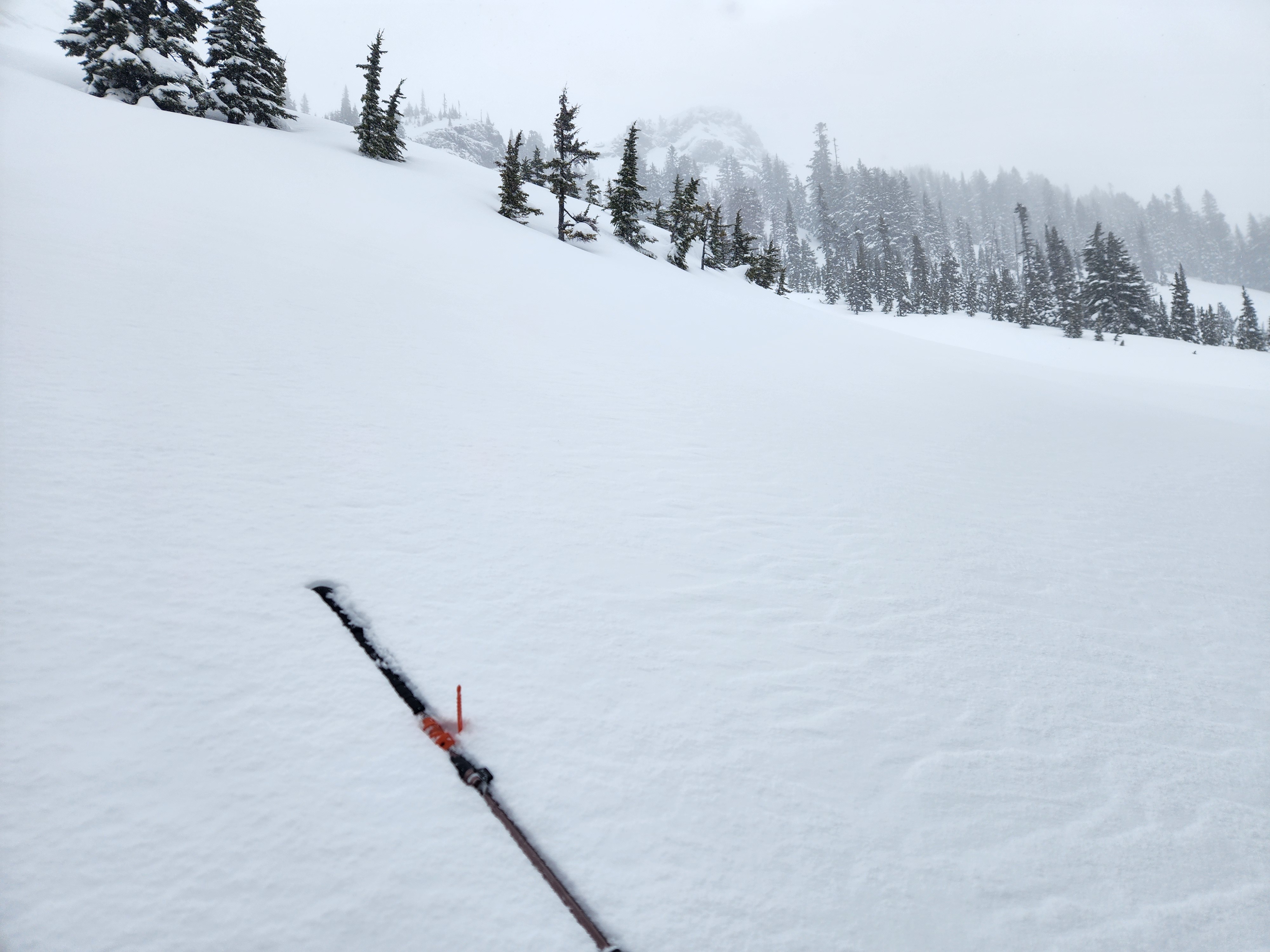
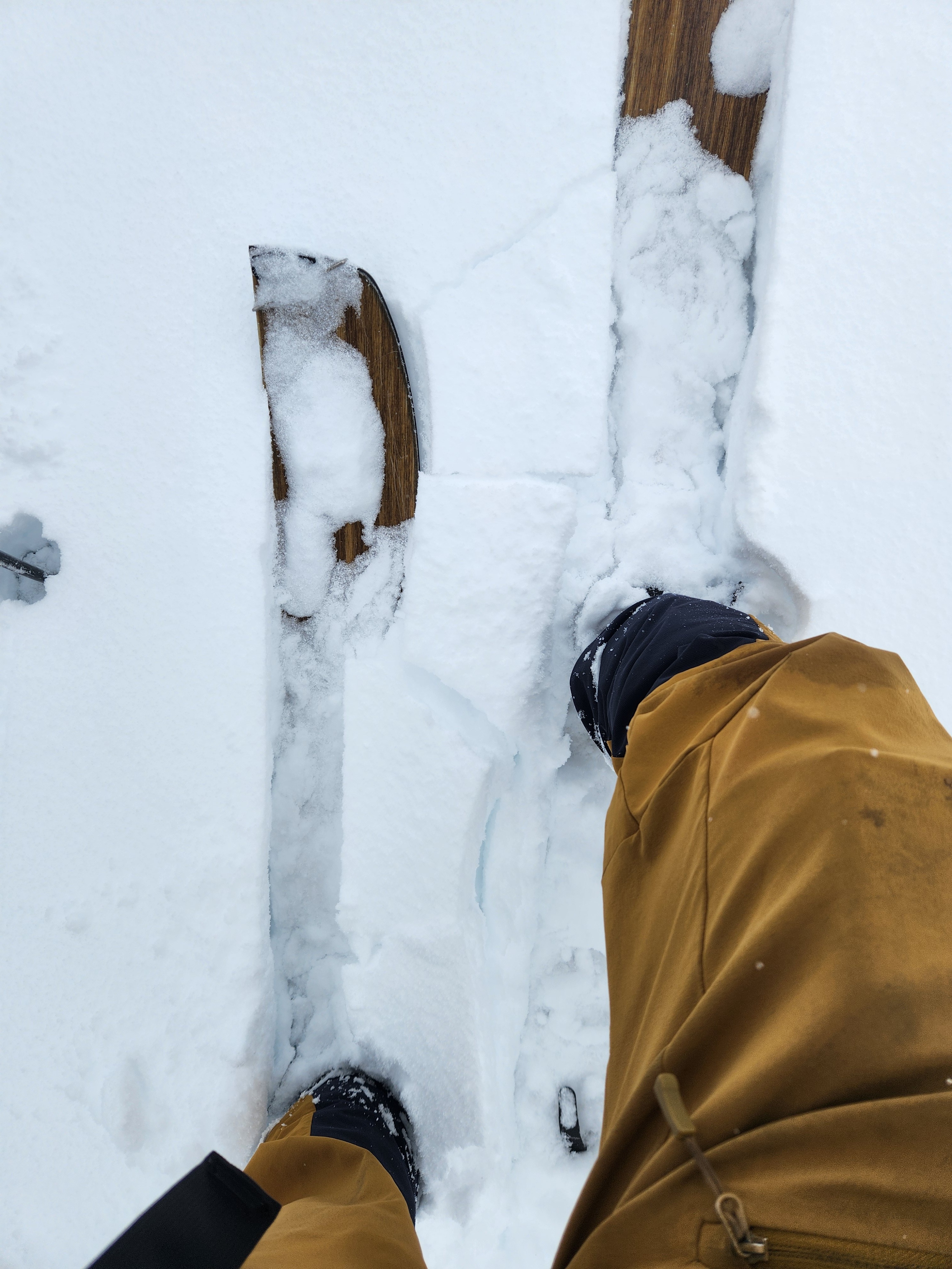
Ski penetration around 5000ft was 12" in sheltered areas and 8-10" in wind-affected areas. The upper few inches were just a bit more cohesive and denser than what was below, and at the very bottom of the recent snow was a softer layer. In more wind-exposed terrain just above tree line, I would load a ski and then drop a bit as the softer snow below collapsed, but only locally without propagation.
I dug two snow pits, one at 4900ft on a SW aspect and another at 4375ft on a WSW aspect. Though the depths of recent snow above the AR crust were similar, the layering within the upper pack was distinct, highlighting the variability in the upper pack that is highly dependent on aspect, elevation, and tree cover. Both pits produced unremarkable results in small and large column tests.
4900ft - SW - ECTX, CT 12 BKN Q3 down 37 cm on a 4F layer at the bottom of the recent snow, CT 21 BKN Q3 down 60 cm on an old crust (Perhaps the 3/4). AR Crust down 65 cm - stout in the upper 10 cm and moist below. No additional crusts in the upper pack were observed.
4375ft - WSW - ECTX, CT 16 BKN Q3 down 26 cm at an interstorm interface, CT 21 BKN Q3 down 55 cm on an old crust (3/4?). AR Crust down 60 cm - stout in the upper 5-10 cm and moist below. Multiple additional crusts present in the upper pack, starting down 42 cm (see image).