
Quick report
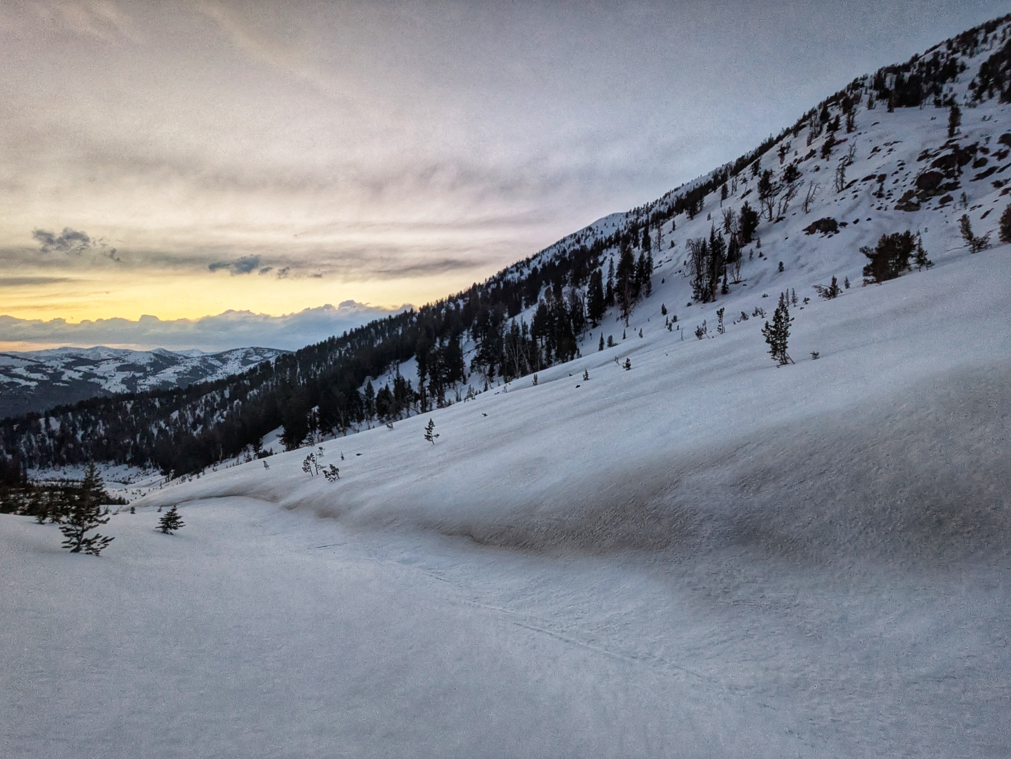
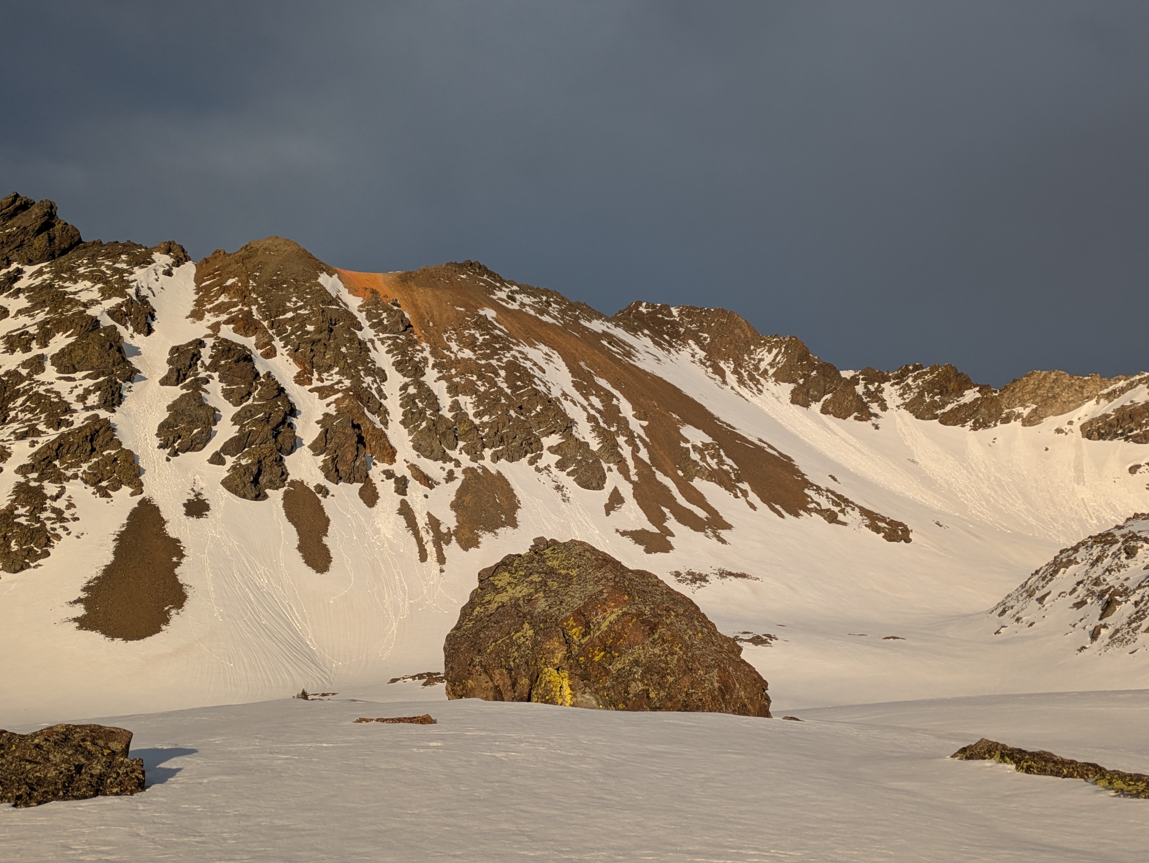
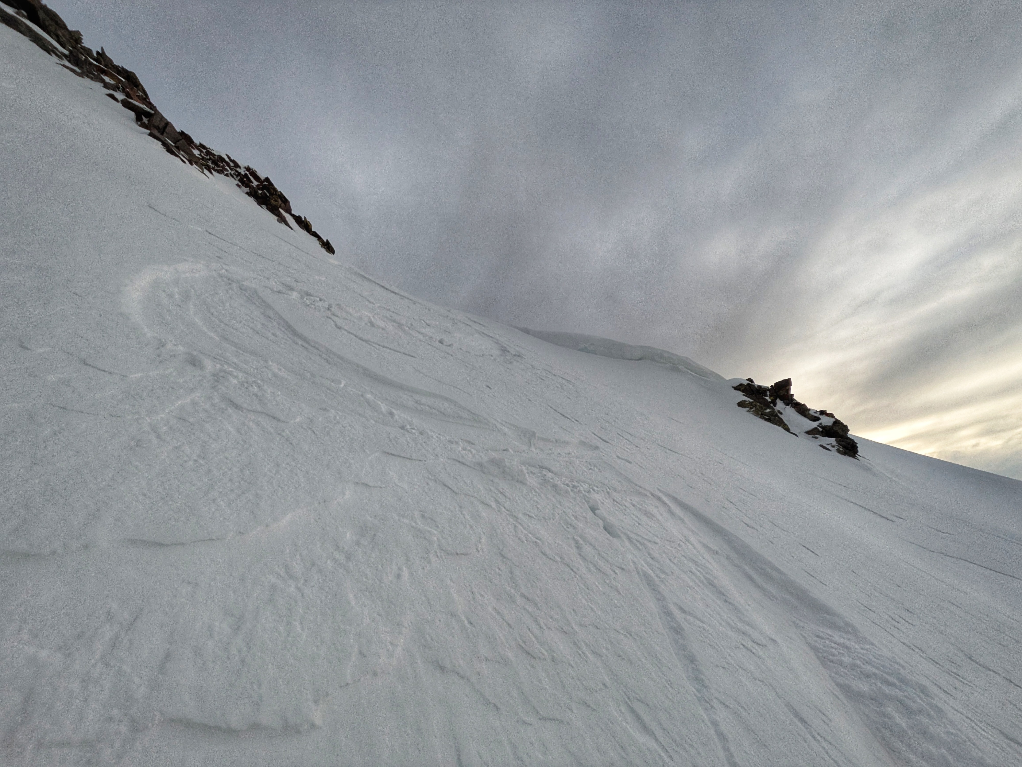
I was out from early afternoon through sunset. My goals were to look at how upper elevation shaded slopes were dealing with the heat, to check in on the wet problems, and to continue with the surface inventory as we head towards a return of snowfall (hopefully!). Wet snow concerns were much less prominent today than in previous days. I did not observe a wet loose problem in any upper elevation terrain I traveled in. Wind and cloud cover prevented significant melt at the surface. If anything, slippery slide-for-life conditions were a bigger concern. Surfaces are rough and icy and edgeable. These surfaces should help any new snow to bond well. I descended a SW aspect at sunset and found that the crusty surface was consistently supportable to my weight down to around 9,500'. The crust became a bit punchy below this, but when I punched through I was staying above the 3/12 crust complex, down 25-40cm . Steep, upper elevation slopes that face directly north have remained completely dry down to at least 9,500' and there are no wet slab issues here. I am still thinking about the 3/12 weak layer when traveling in this terrain, but it is very much a dry slab concern. A minor amount of faceting has occurred at the surface here, but it doesn't look terrible. As I traveled to NW and NE aspects I found thin (< 1cm thick) icy crusts on the snow surface from hot temps+solar radiation. There were some small, not terribly well developed facets underneath these crusts that could be problematic when snowfall returns. NW and NE upper elevation slopes also did not have any wet snow concerns today (neither slab nor loose). Middle elevation solars were where wet problems were at their worst today, but wet issues were much less glaring than in previous days. The 3/16 dust layer has made its way to the surface on many slopes. The patterning of the dust is interesting, in many places you can see that the wind was moving this dust/dusty snow around in the period immediately after it was deposited.
Weather
Windy with variable cloud cover. There was a few hour window in the early afternoon with lots of direct sun before clouds moved back across the sky. There were a few spits of precip (broken precip particles + graupel) in the early evening, accompanied by strong winds. I heard a lone roll of thunder around 7:00 PM. A more vigorous period of precip (large graupel, 2-4mm) was observed in smiley creek around 9:30 PM, right before an impressive lightning storm took aim at the Smokys (I observed ~20 strikes in a less than 10 minute period, shortly before 10 PM). Springtime!