
Quick report
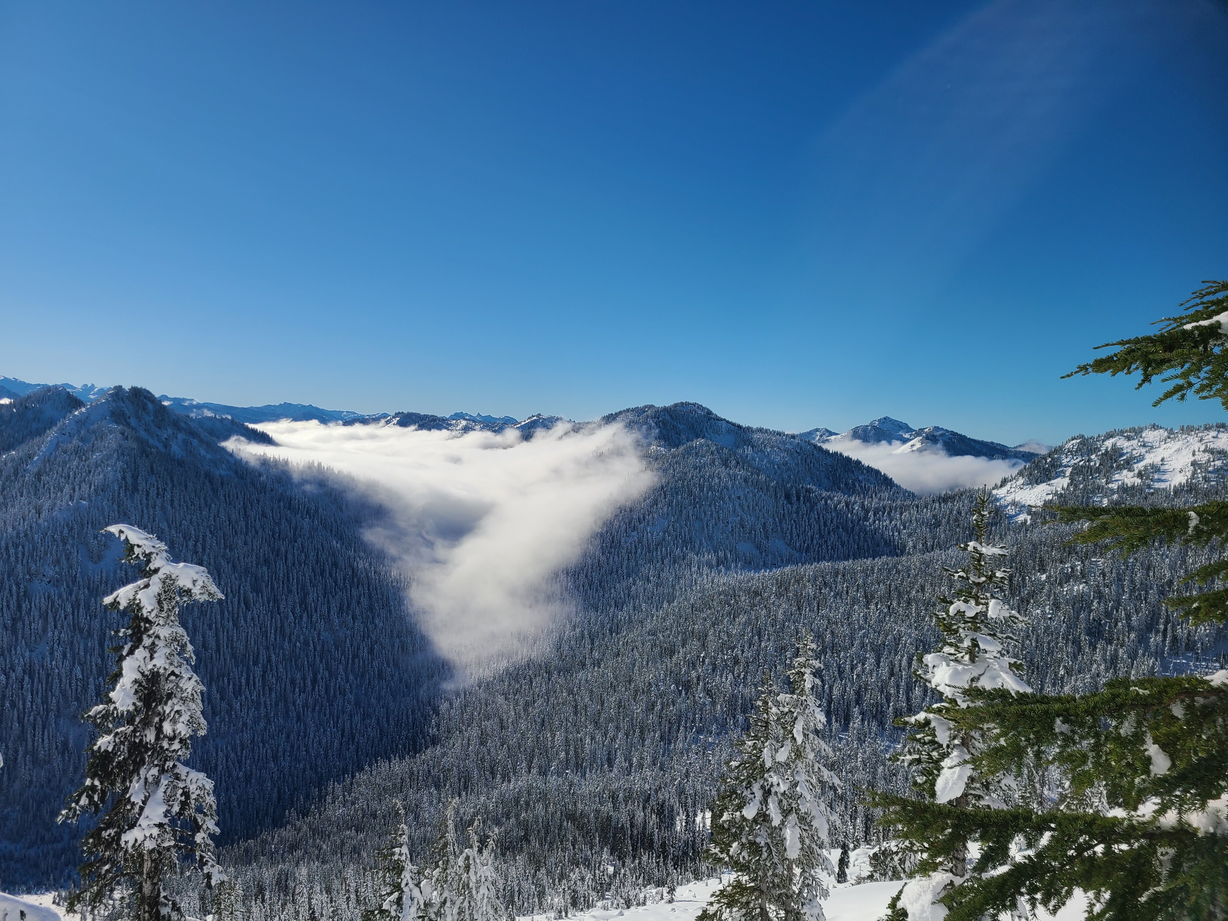
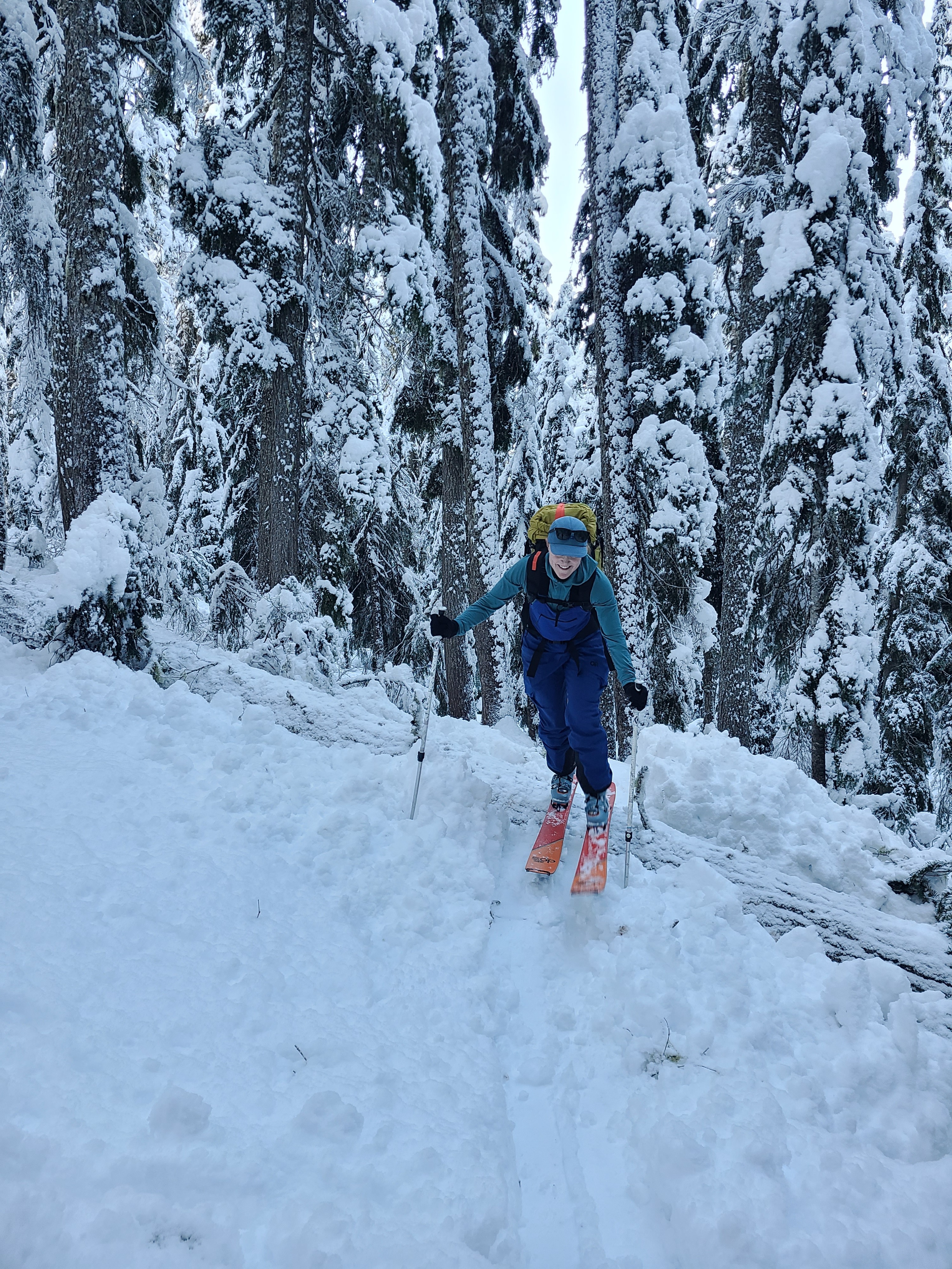
It was a beautiful day to be out in the mountains, with clear skies and cool but comfortable temperatures. We took a round-about tour in the Litchenberg area to gather more information on how the new snow is settling and bonding with older snow layers. Traveling below 4000ft was challenging on the approach, but thankfully, the wet snow helped to push down the alders. Steep southerly slopes warmed in the sun during the day, turning into an undesirable combination of wet "mank" snow below a breakable crust by late afternoon. This required some rather exciting and creative ski techniques while descending through the steep trees below the SW face. Snow on northerly aspects stayed cold and dry, with surface hoar beginning to form from the clear nights.
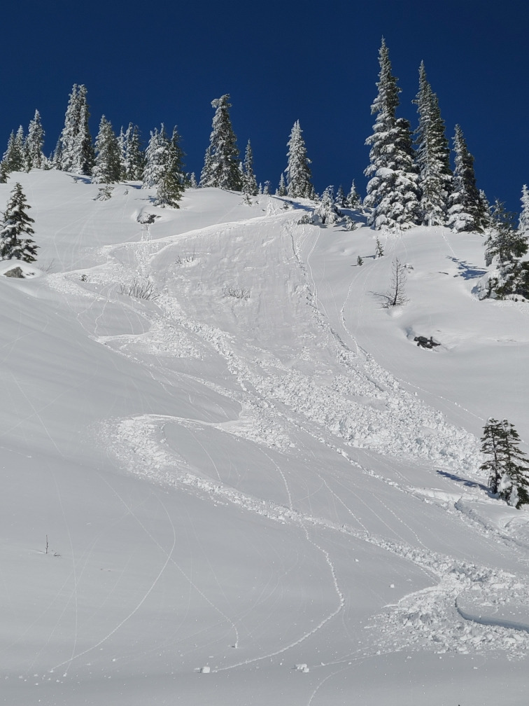
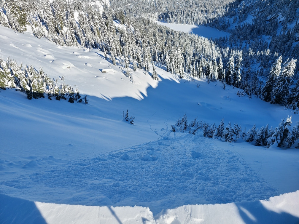
Small, wet loose avalanches were the primary source of hazard during the day. However, the cornices were also sensitive, and a quick pole plant easily released a medium-sized cornice. This cornice drop only produced a loose snow avalanche on the slope below (NE aspect). Wind slabs in the area we traveled were unreactive to ski cuts.
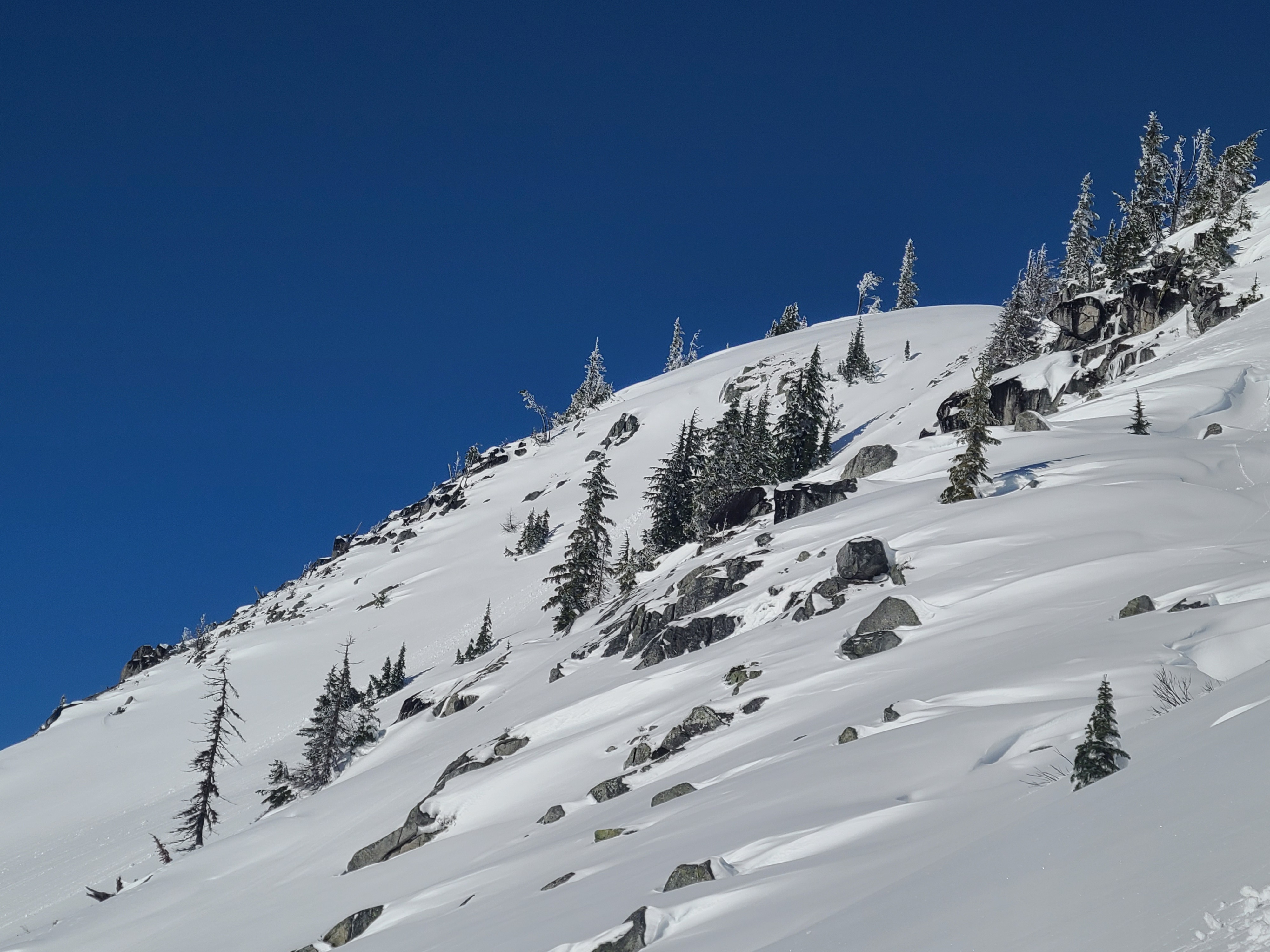
Rollerballs and very small loose avalanches released naturally from steep rocks and cliffs and we were able to intentionally trigger some shallow, small (D1) wet loose avalanches on steep sunny slopes. We also easily triggered a small-medium sized cornice, but no subsequent slab avalanche released on the slope below.Weather
- Cloud Cover
- clear
- Wind Loading
- previous
- Recent Snowfall
- 40-60cm
- Snow Avail For Transport
- large amounts
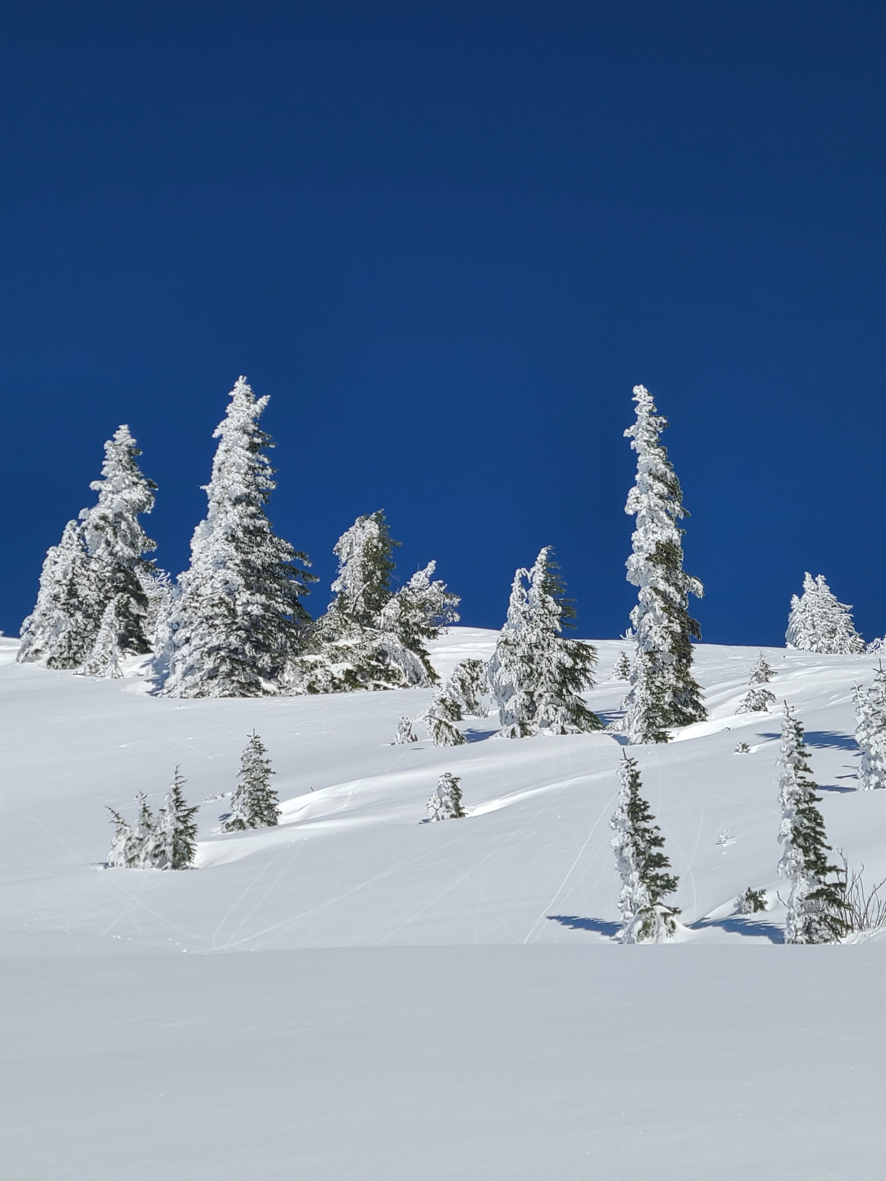
It was a beautiful bluebird day with light westerly ridgeline winds. Ambient temperatures were cool, but it felt hot in the sun. This provided a stark contrast between southerly and northerly aspects.
Snowpack
The snowpack below 4000ft is shallow, between 30-60cm, but gets deeper quickly with elevation.
We dug two quick snow profiles to investigate the recent storm snow and identify any concerns within the new snow or at the new/old interface.
South Aspect; 5000ft: The total snow height was 120cm, with 45cm of storm snow over the 12/7 melt-freeze crust. The top 4cm was becoming moist to wet in the warm sun. We identified a storm interface down approximately 20cm that produced clean shears in shovel tilt tests, but this layer was unremarkable in compression tests. Below the 12/7 crust, the older snow is moist and we found no evidence of weak snow layers above or below the crust.
North Aspect; 5100ft: The total snow height was 160cm, with 60cm of storm snow over the 12/7 melt-freeze crust. The snow surface had a small-grained surface hoar in both plate and needle form. We found what we expect is the same storm interface down around 30cm in this snowpit, but it was again unremarkable in stability tests. Below the 12/7 crust, the snow is moist to wet. I believe small facets are beginning to form above this crust, but the grains with the tell-tale sharp 90° angles were sparse and difficult to separate from other rounded grains and melt forms. Stability tests did not produce any results on the 12/7 crust.