
Quick report
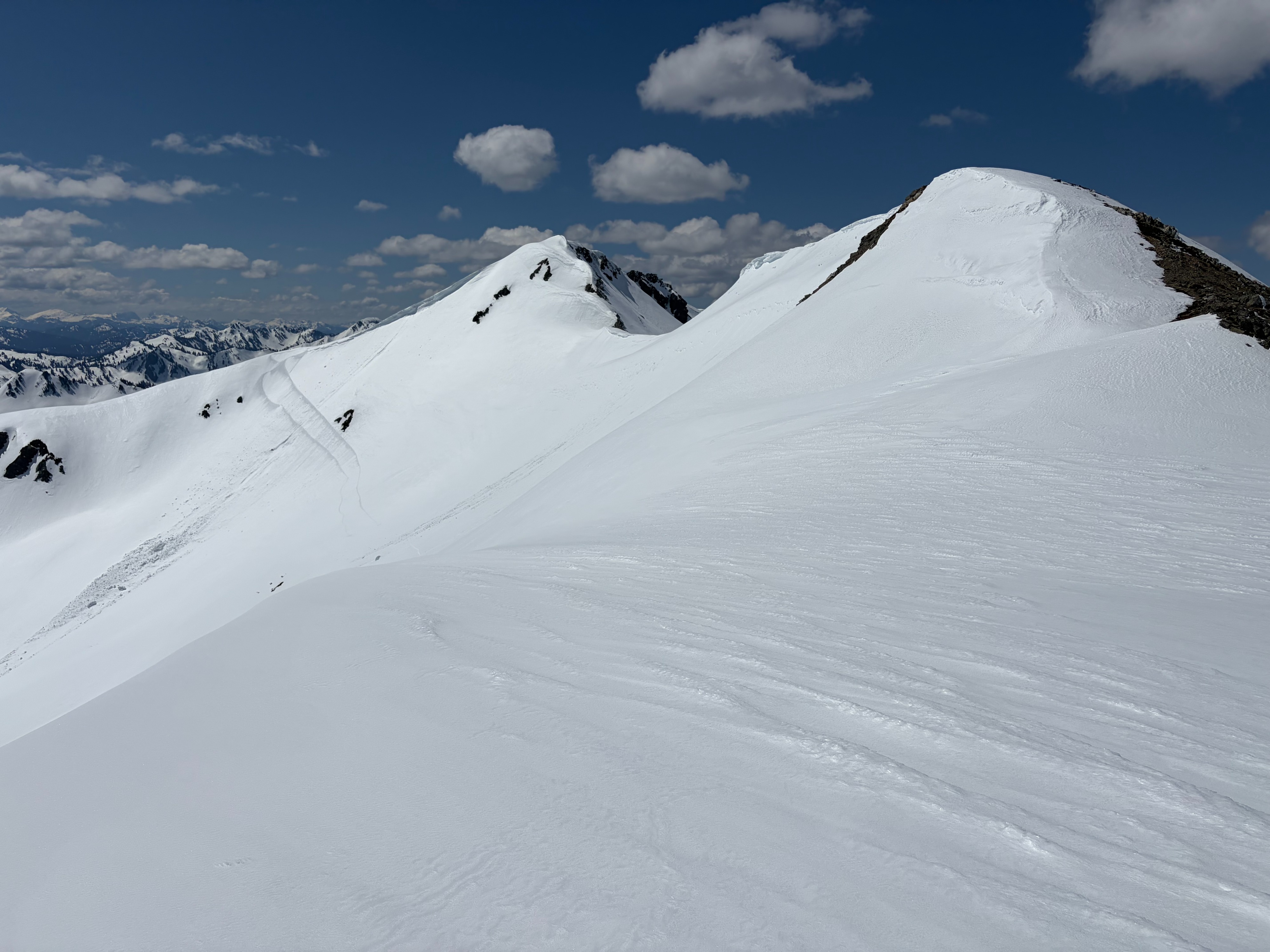
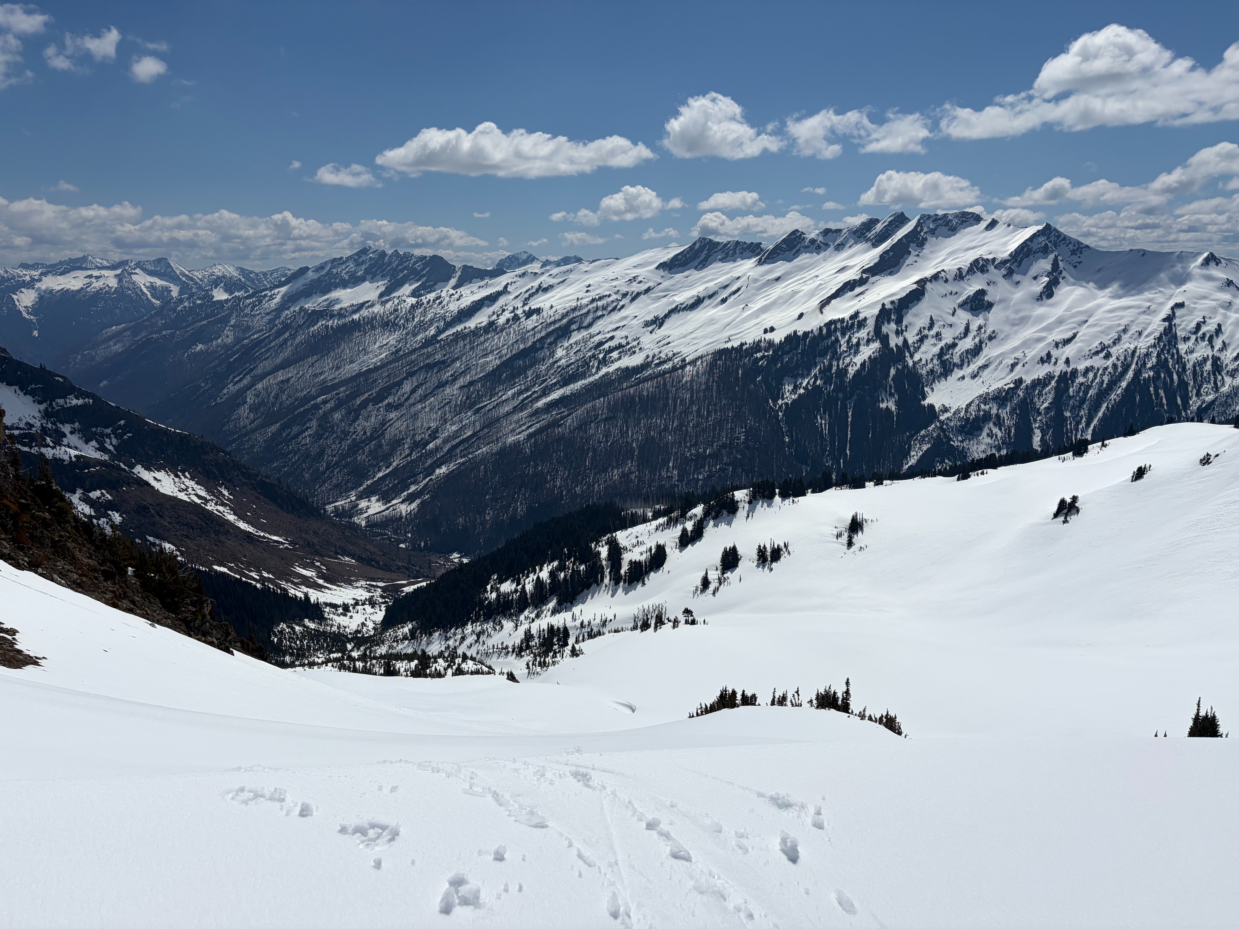
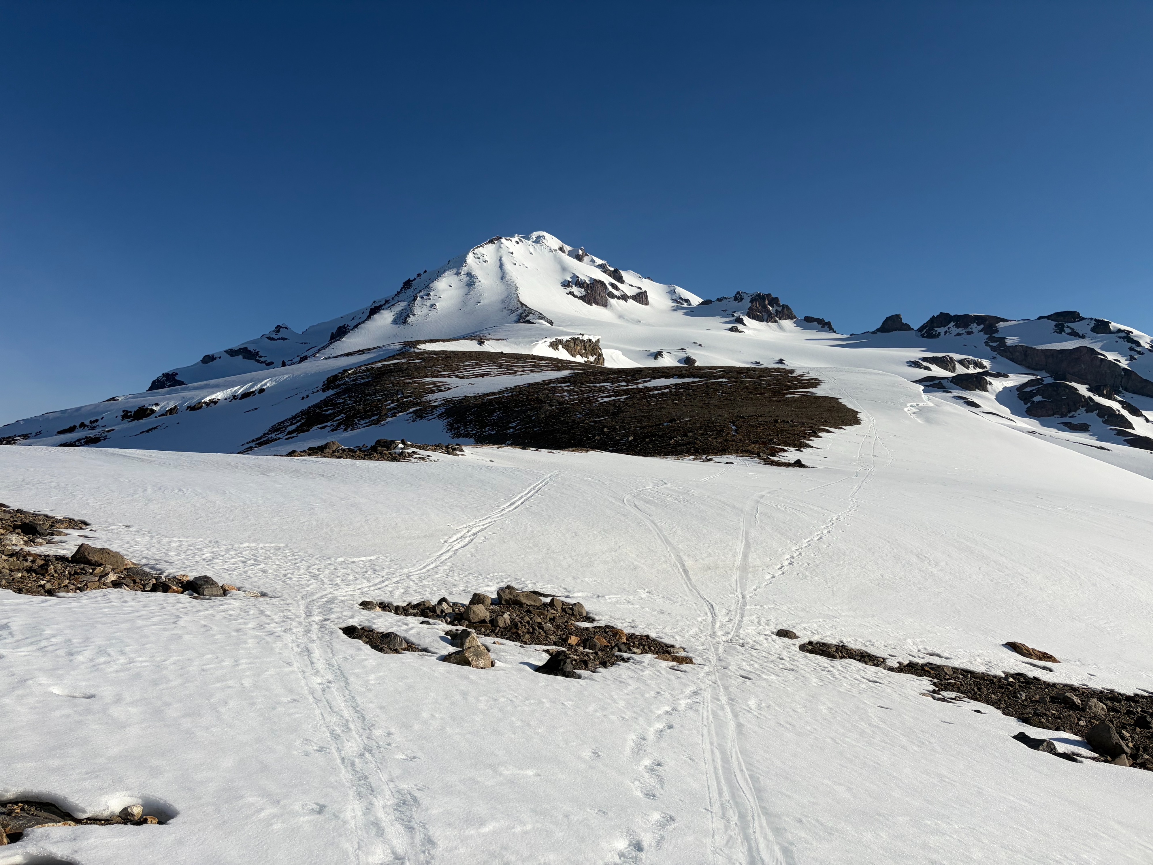
We spent a couple of days in the Glacier Peak area traveling on all aspects from snow line at approximately 4500' (S aspect) up to 10500'. Surface freezes from long wave losses overnight quickly gave way to warm weather and partly cloudy skies leaving solar aspects below 6500' wet with boot pen up to knee deep by late mornings. Moderate gusting to strong winds above 7000' slowed warming and resulted in excellent corn skiing on E through S aspects through early afternoons. Solars below 6000' are generally isothermal resulting in slow travel. Creeks and lakes in the White Chuck Glacier basin are open in places.
Avalanche
Multiple natural wet loose and cornice failures, up to D2, from daytime warming on E - S aspects from 5500 to 7500'. Another party reported triggering multiple small D1 wet loose avalanches from their skin track across a steep southerly face around 6000' in the afternoon.