
Quick report
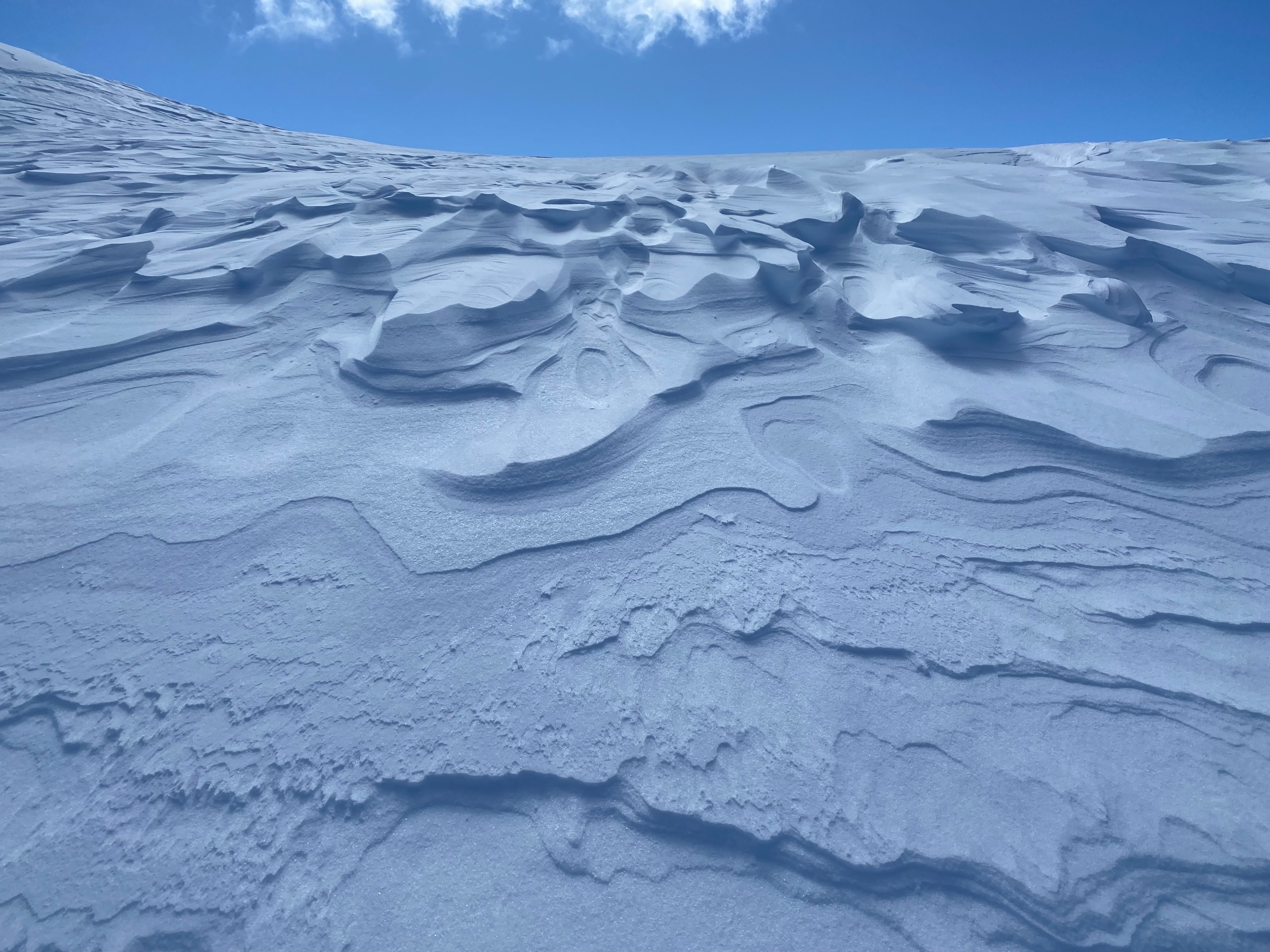
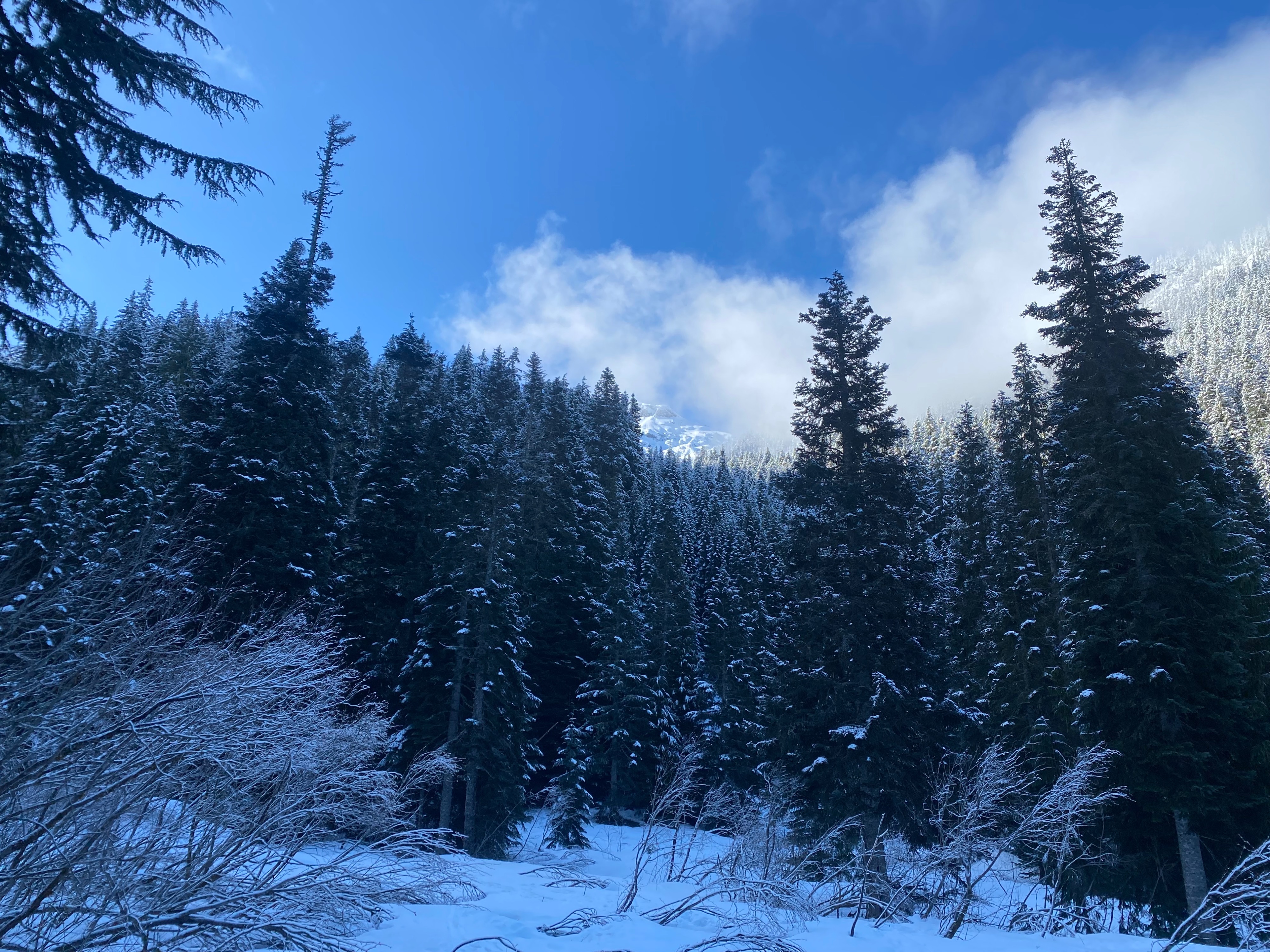
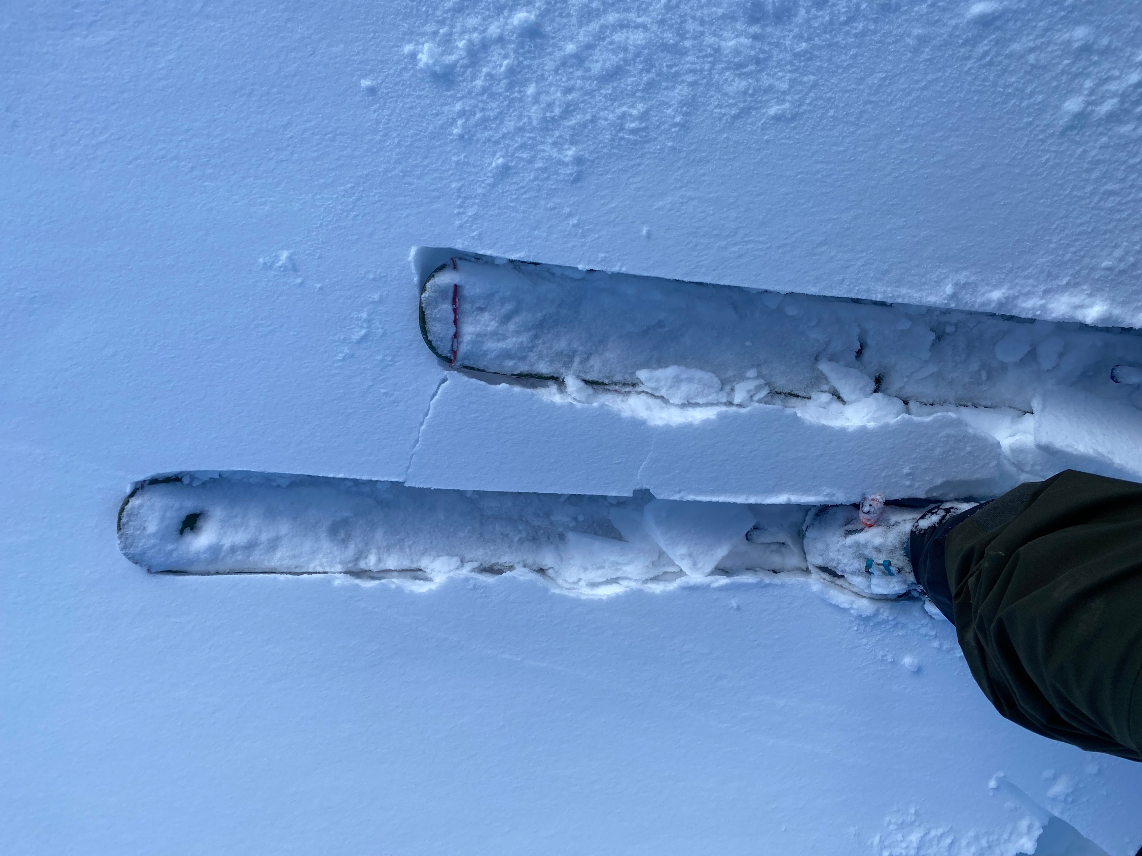
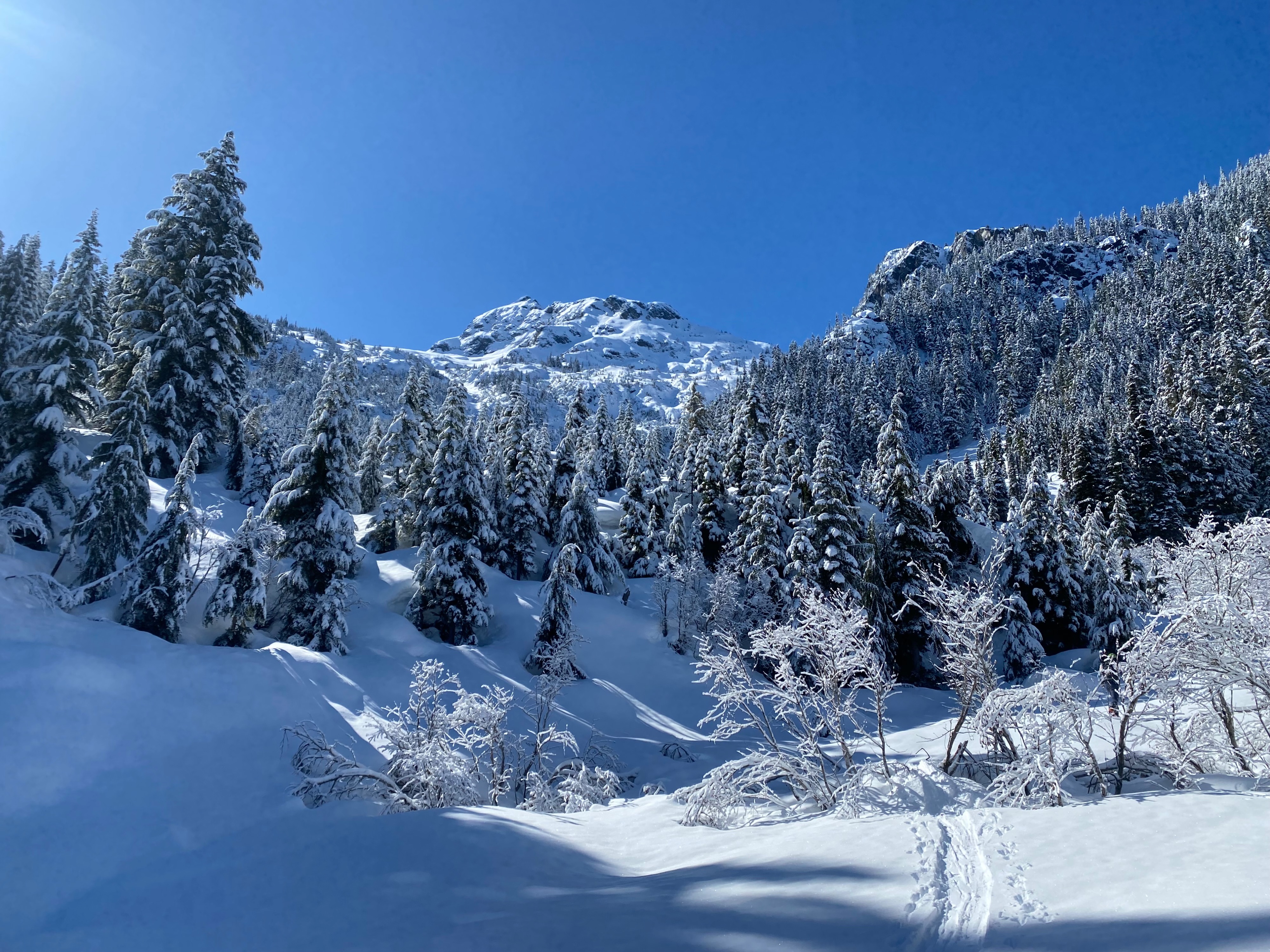
It was an amazing day to be out. Temperatures where mild, the sun was out, and we enjoyed fresh snow. When we hit snowline I was suprised by how light the snow was. Starting as just a dusting at lower elevations, the snow was light and unconsolodated until we reached exposed upper elevations. Here drifted snow creating created 1 -2"= thick windslabs and that where easy to pull out in hand shear tests. And despite not noticing any natural avalanching we felt really uncertain of their strength under any additional load and traveld conservatively. To our suprise, the snow stayed cold throughout the day and we skied probably 3000' of cold snow until we reached treeline . The new snow had warmed up below near the trees and was now a breakable crust that was mixed with heavy snow making it more challengin to manage.
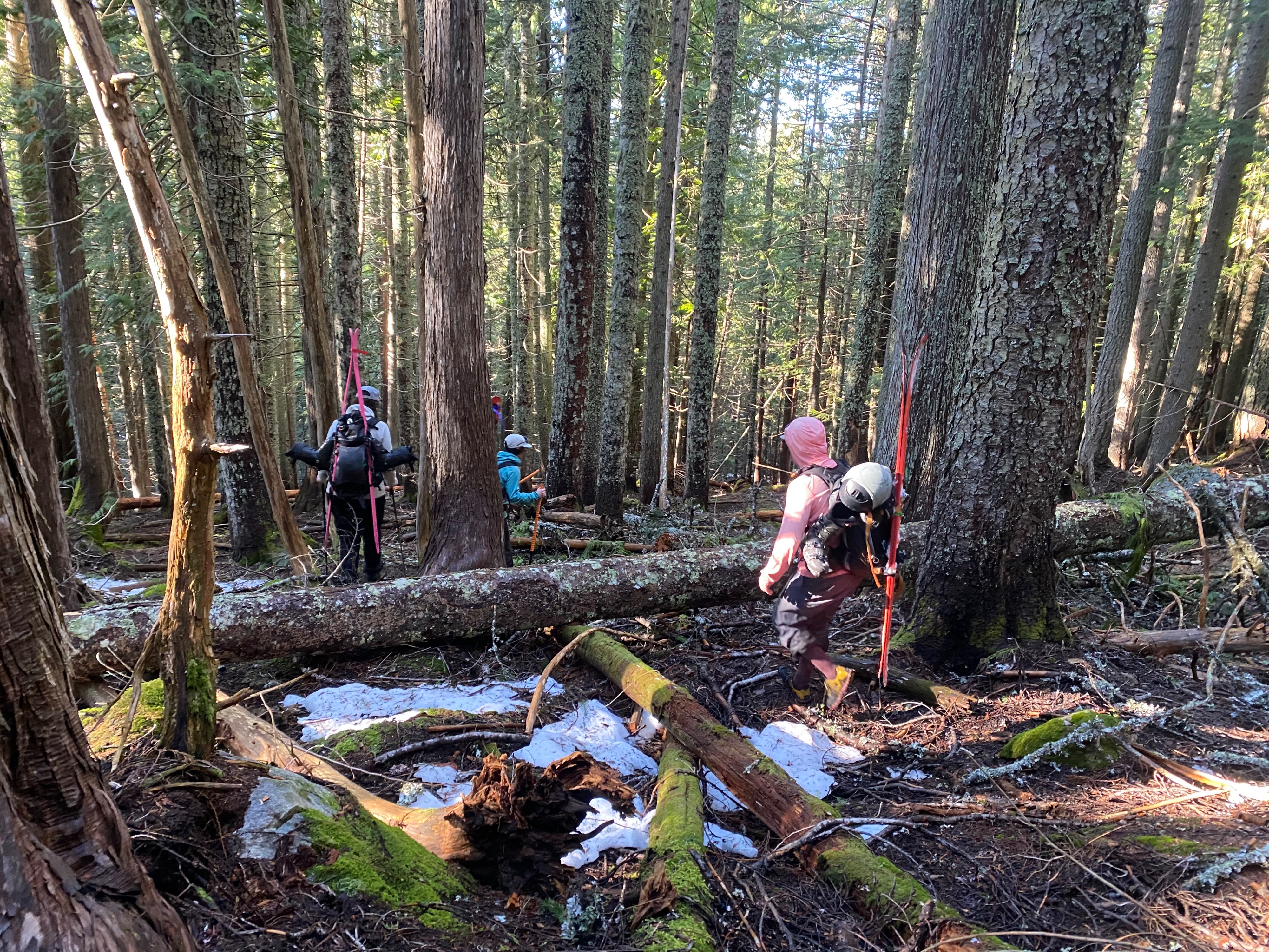
Despite that we a really great but long day. It is unclear how long this ski will be in as the low to mid elevation snow seems to be disappearing in key travel locations. Despite the low snowline upper elevations seemed to be holding alot more snow than expected which seems promissing for spring and early summer missions.
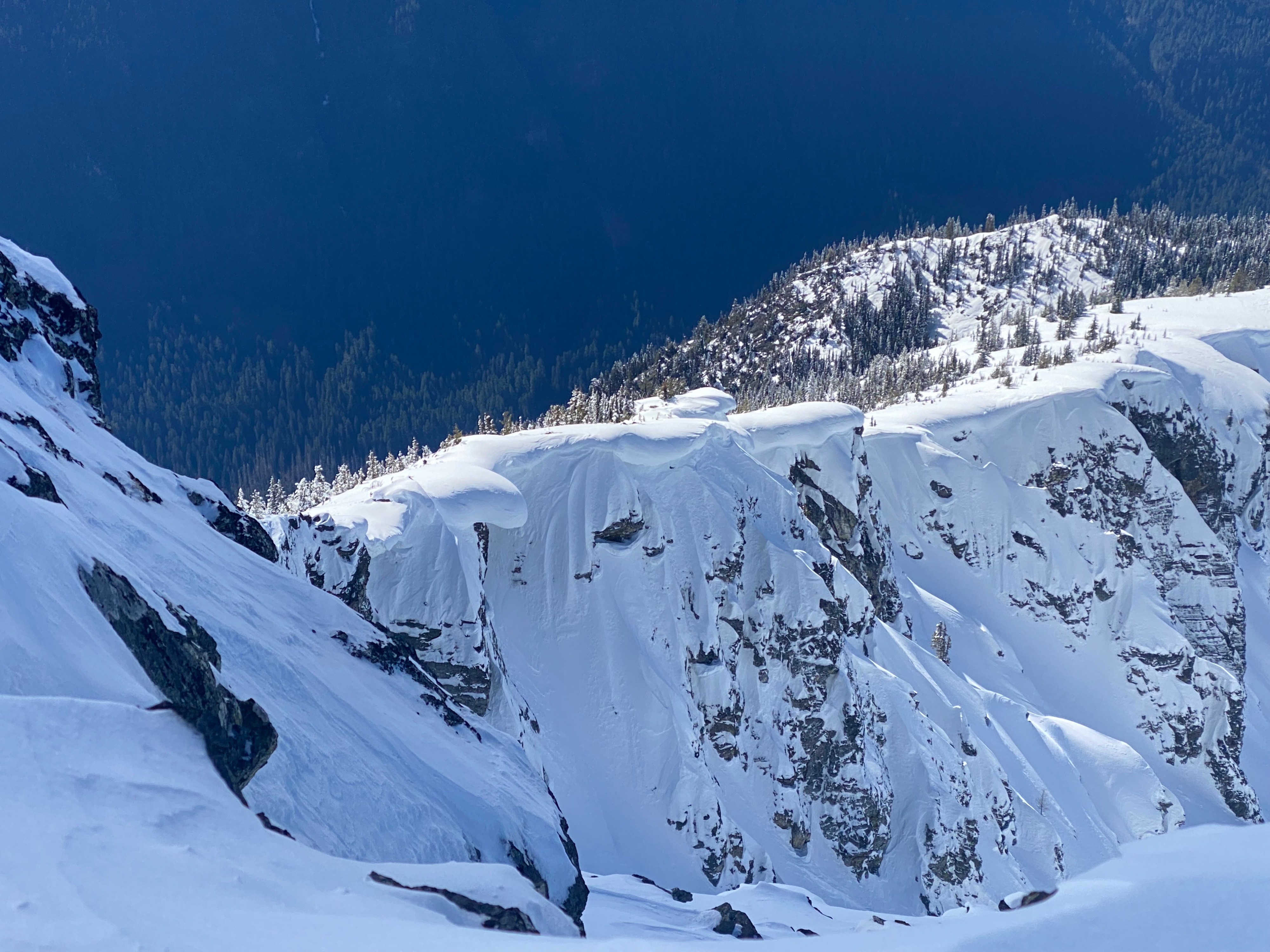
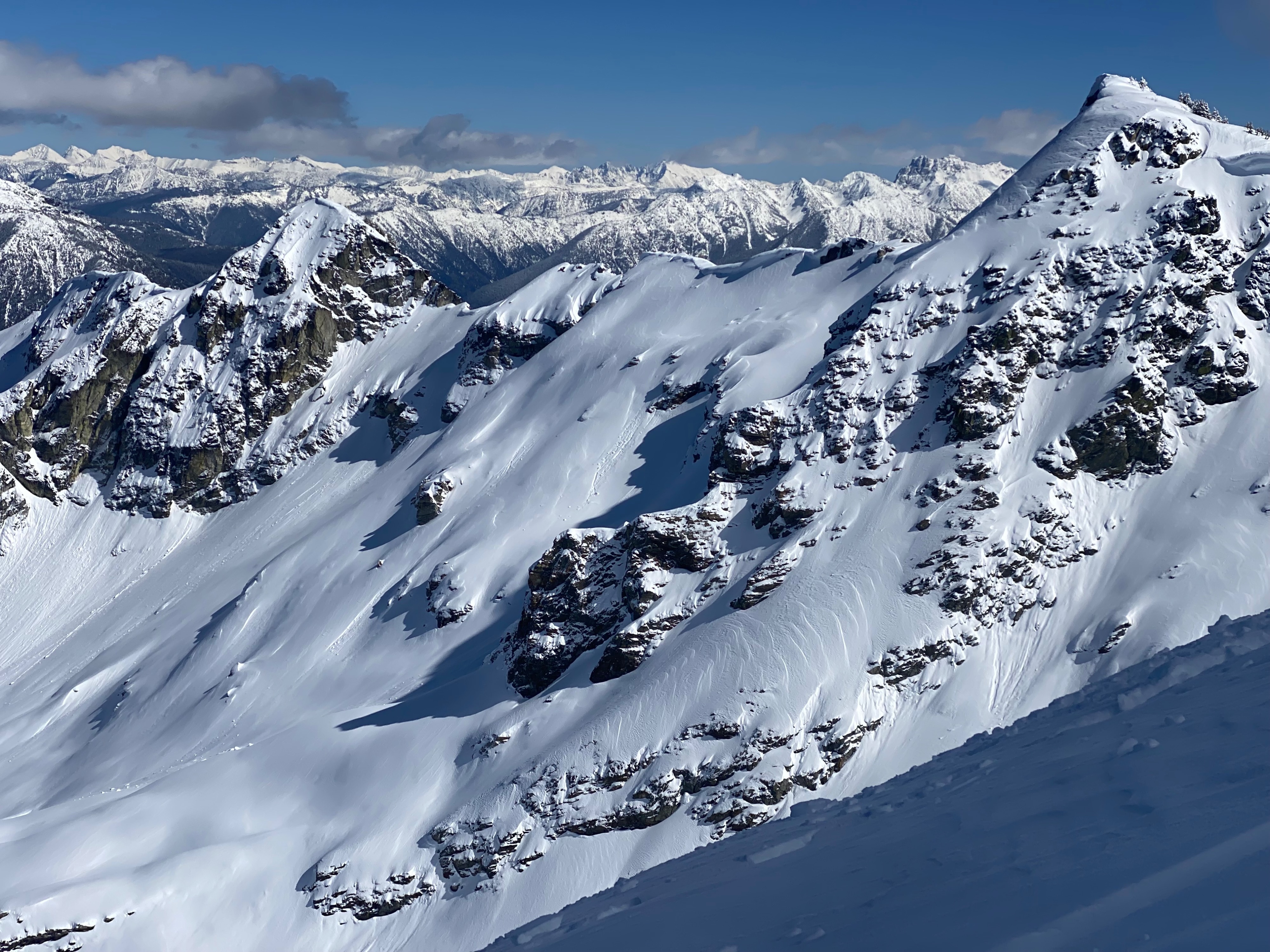
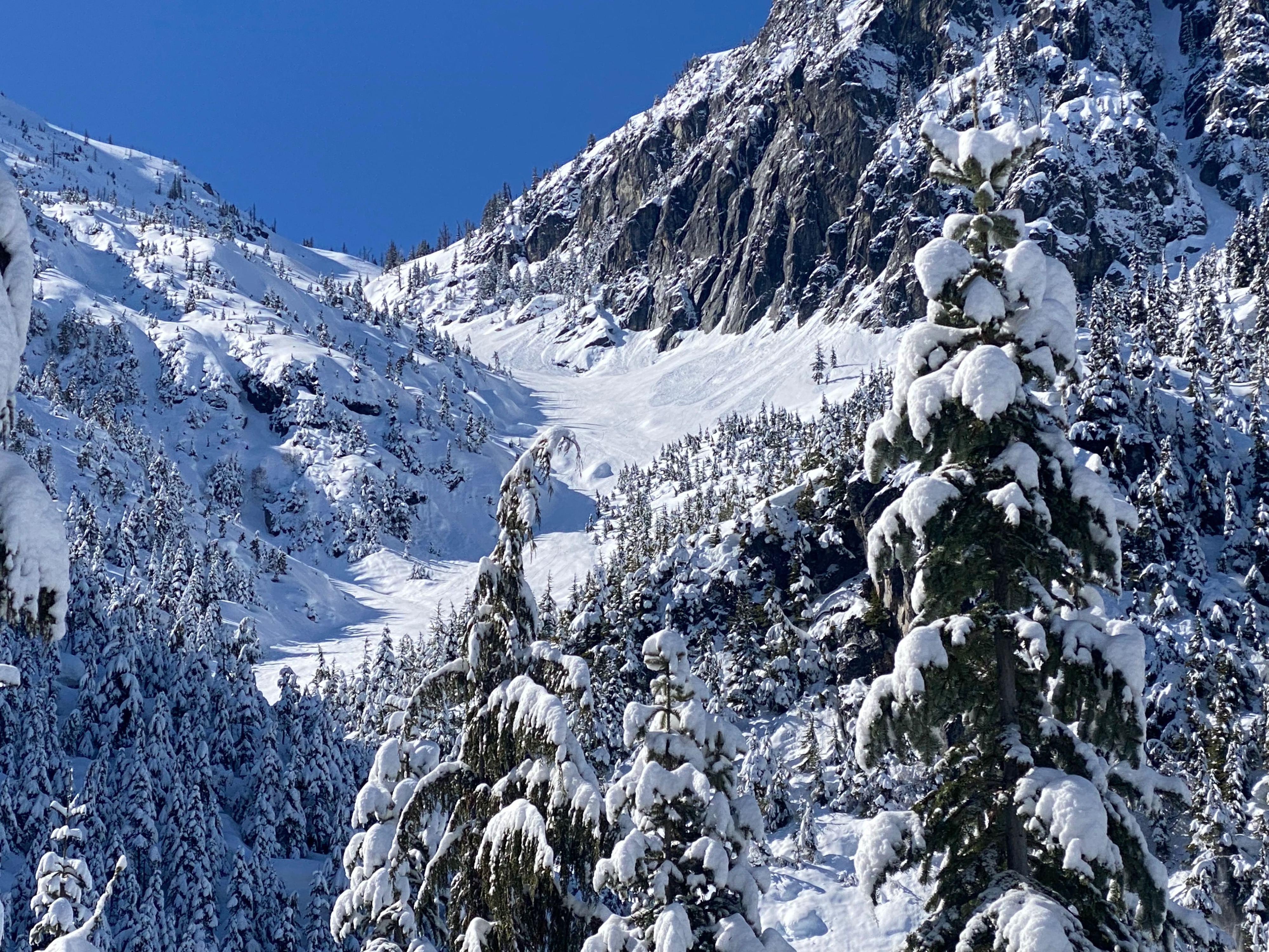
Obvious signs of wind loading, hallow feeling stiff surface snow at exposed upper elevations. Smaller (D1-1.5) dryloose from the summit cliffs noted at the begining of the day then small wetloose occuring on sunexposed faces later in the day. Wet loose did not seem to run far or entrain much snow, see photos. Because our tour was mostly on Northerly aspects we did not see much wet loose activity but I bet this would have been worst on southern facing slopes.Weather
- Cloud Cover
- clear
- Wind Loading
- moderate
- Rain Elevation
- Light snow first seen at snowline 3500'
- Recent Snowfall
- 1 -12"
- Snow Avail For Transport
- moderate amounts
A really nice day in the mountains. Started out with low clouds that cleared around 9:00am, the rest of the day was sunny. Temps were not as hot as expected. Warm enought to travel in a sunshirt on the way up and cool enought to put on a light puffy and hang out on the summit (7400'). No wind observed throughout the day.
Snowpack
Light new snow fell above 3500' in the central North Cascades with depth increasinging to almost 12 inches at upper elevations. At lower elevations a dusting of snow was present on top of a thick melt freeze crust. The crust was stout and supportable to the weight of skis but not boots/ shoes. As we climbed, the depth of unconsolidated new snow gradually increased, however once we reached about 6000' slabs created by wind loaded snow where consolidated and not well bonded to the newer snow beneith it. A couple hand shear tests pulled out very easily. Some of the loaded snow creatd slabs almost 2 ' deep despite that we did not notice these slabs breaking naturally. The crust that the new snow fell on top of began to disappear on north facing slopes around 5500' but existed to the same extent on all other aspects.