
Quick report
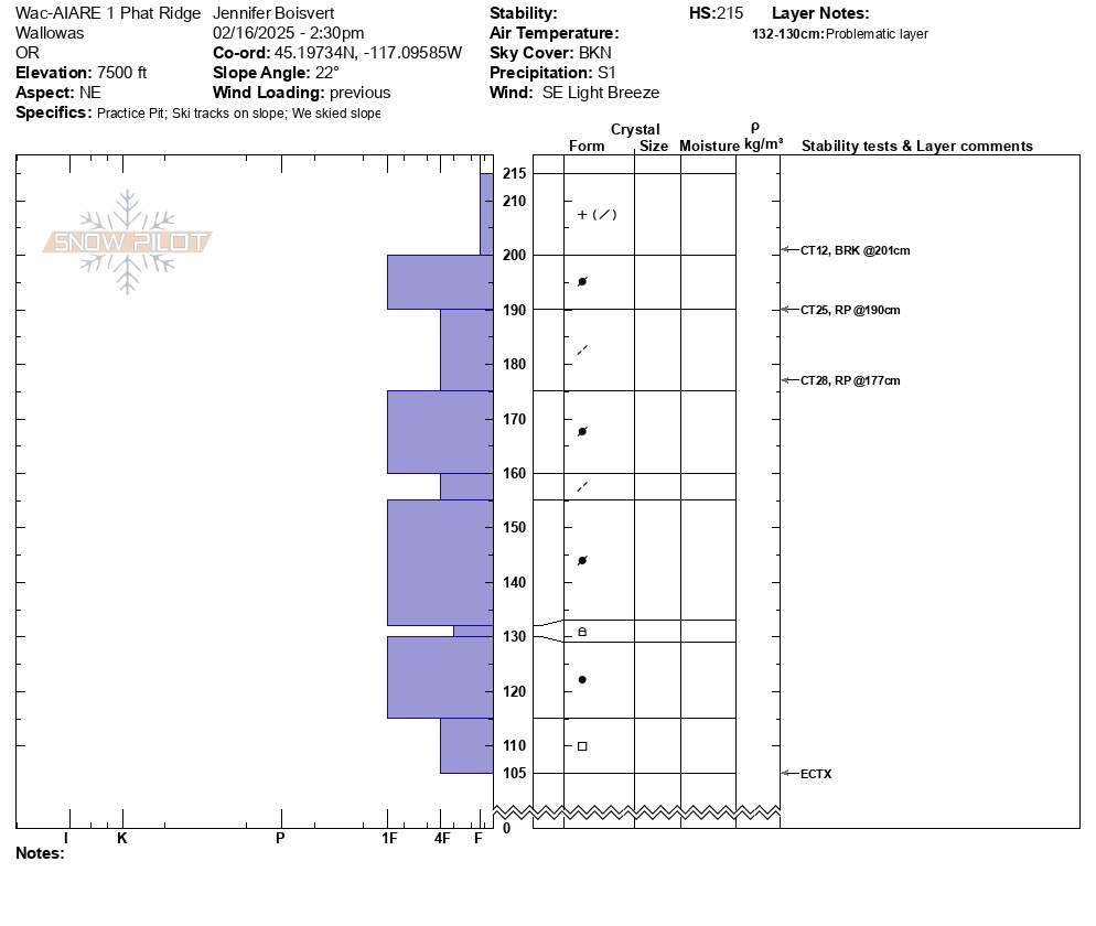
Evidence of wind slab was observed along all of exposed ridge once it opened up at ~ 7,000'. HS varied at 7500' from 120cm depth on scoured south side to ~220 cm on northern aspect. Strong layers over weak still exist in upper 100cm of snowpack, but seem to be fairly stubborn to trigger. But definitely possible and consequential if so in big terrain.
Weather
- Air Temp
- 30
- Cloud Cover
- broken
- Wind Loading
- previous
- Recent Snowfall
- 5
- Snow Avail For Transport
- moderate amounts
Mostly clear in am, clouded up (BKN to OVC) with intermittent snow flurries midday to late afternoon, with ~ 3 inch accumulation last 24 hr, 25-30 degrees F, SE light winds. Did not observe strong gusts (25-30 mph) forecasted for 2/15 or 2/16.
Snowpack
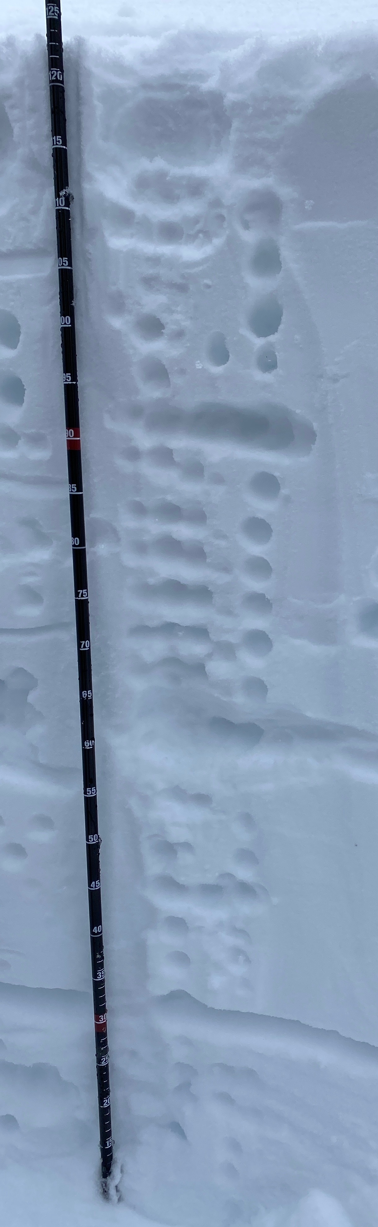
Observed the expected forecasted snowpack at this location. New light snow over recent wind slab on top of a persistent weak layer (near surface facets) buried under recent Feb storm events. At this elevation (7500') we did not observe the crust w/ facets above and below crust, that was obvious on 2/15 in our lower elevation snowpit in protected trees on lower Bairds (at 6600'). The persistent weak layer in this location was composed of facets above and below a 15 cm old slab. The recent wind slab in the upper snowpack changed hardness levels throughout, although this was not first obvious visually. It appeared to be changes in storm characteristics and wind speeds that created multiple stronger 1F slabs over weaker 4F lighter density snow. These did get hard results in the 4x CT tests, but no result on any of the layers in an ECT. See pit profile.