
Quick report
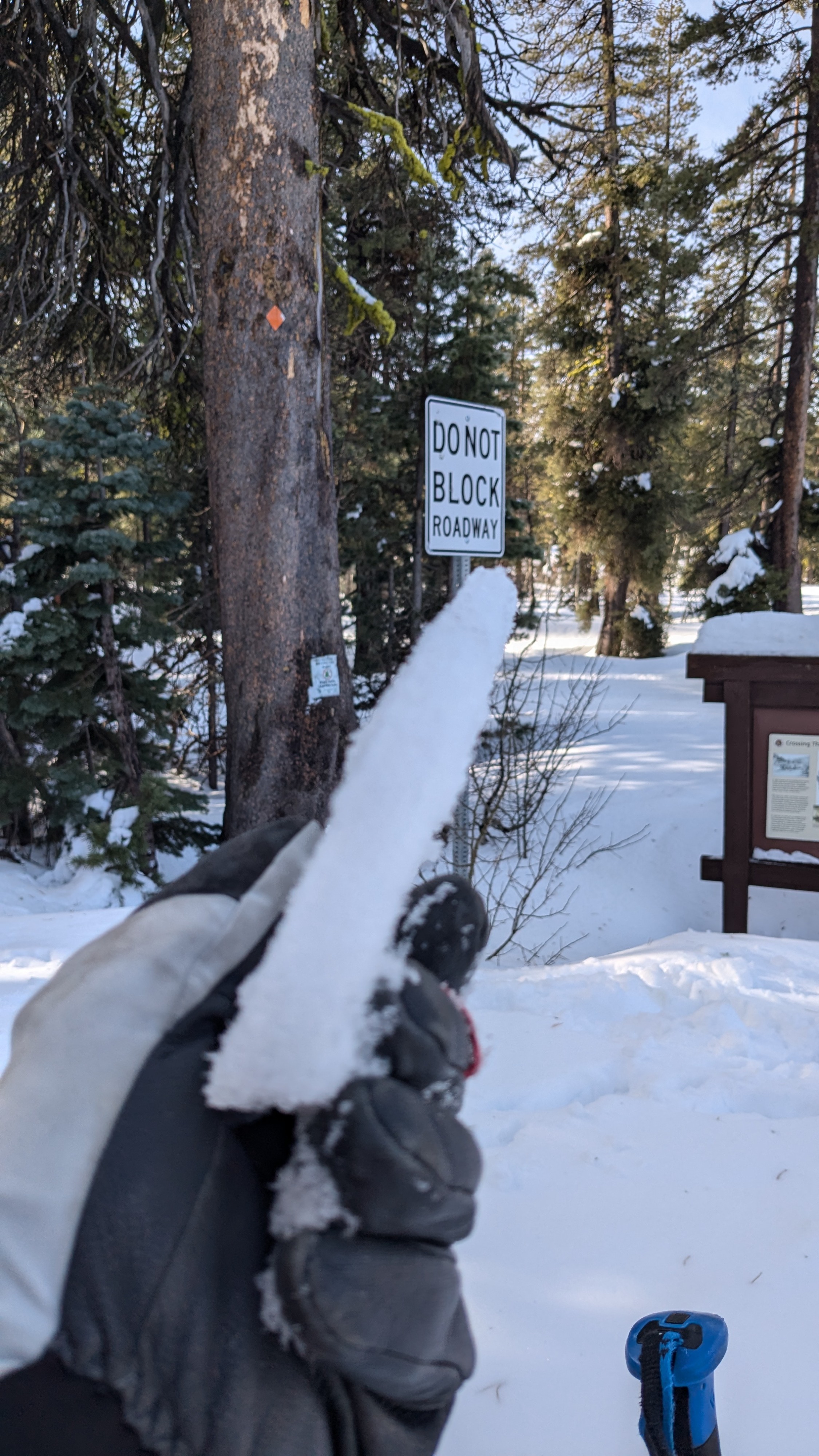
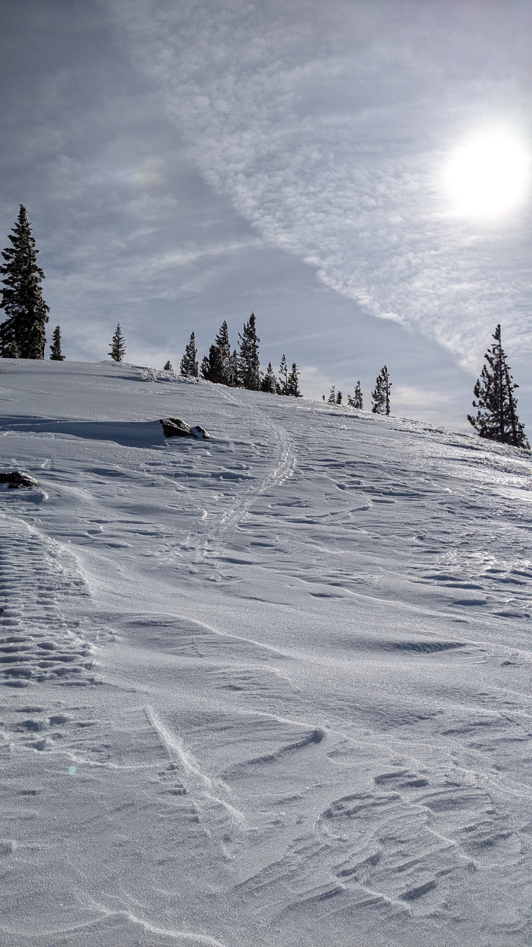
Breakable rain crust about 1 cm thick greeted our arrival at Yuba Pass (6,700') this morning. We traveled on this rain crust up to the summit of Lincoln Ridge at 7,800'. The rain crust gradually thinned but was still prominent during our ascent. There were clear signs that rain occurred up to at least 8,000' in this area. The rain crust was sometimes supportable, sometimes breakable.
We stopped to dig a testpit at 7,380' in N aspect BTL terrain in a spot adjacent to an avalanche path where we had observed the making of the Dec 12 weak layer two weeks ago. In this location (lat/long on map) our tests scored ECTX and DTN on the Dec 12 nsf layer. No signs of current instability observed while on our tour.
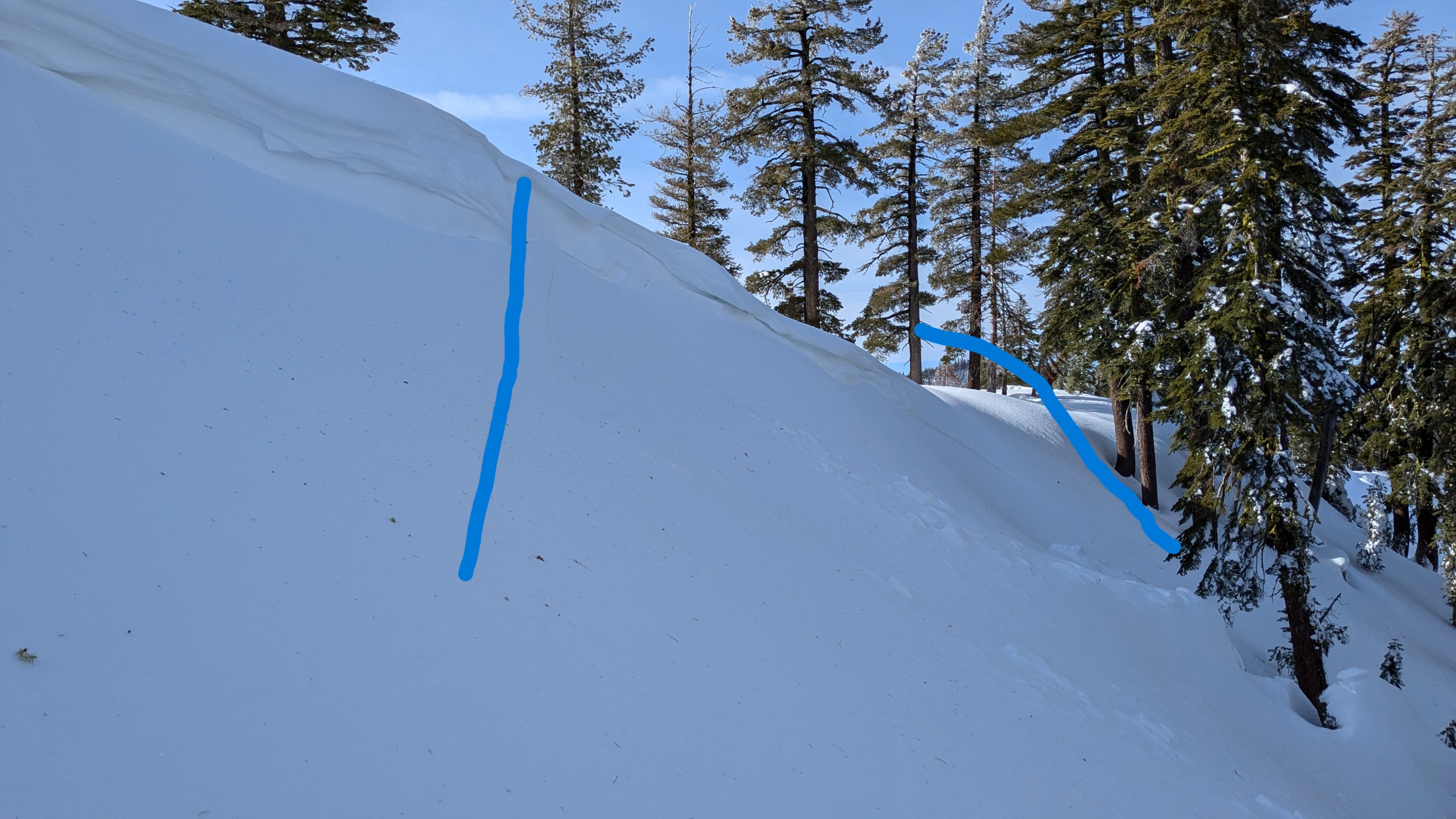
We noted the remains of two size D1 wind slab avalanches with 4 to 6 inch crowns that looked to have occurred yesterday (Dec 16) prior to the afternoon/evening rain event. No signs of current instability observed while traveling in this area today.
Weather
- Cloud Cover
- few
- Wind Loading
- none
- Snow Avail For Transport
- none
Sunny skies with above freezing air temperatures.
Snowpack
At the pit location (noted lat/long), HS 174 cm. Dec 12 layer down 76 cm. 1F+ hard slab over 4F+ Dec 12 layer. ECTX and DTN.